The best walks and hikes around Villefranche-De-Lauragais
4.6
(99)
1,085
hikers
71
hikes
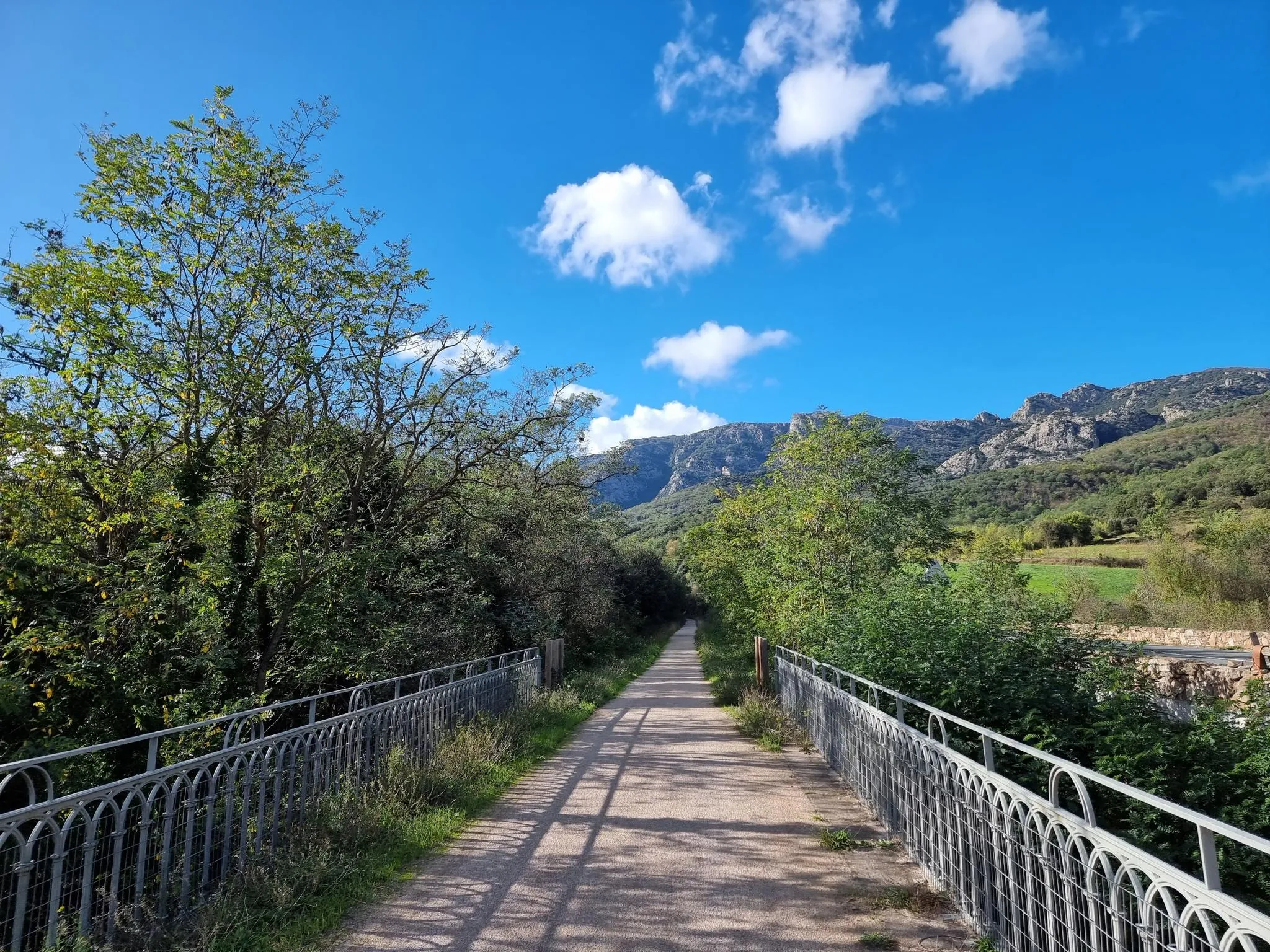
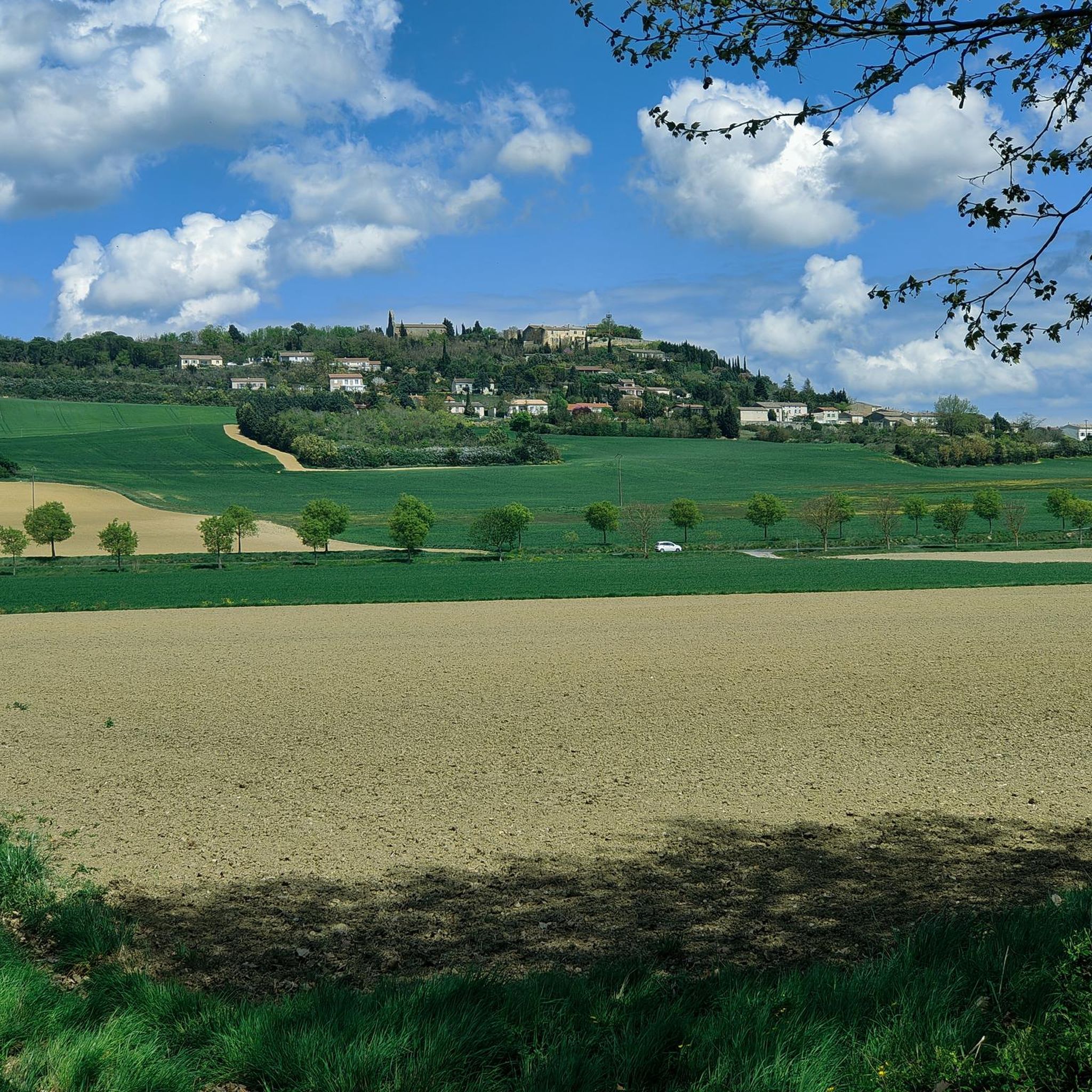
Hiking around Villefranche-De-Lauragais offers diverse landscapes within the Lauragais plain. The region features rolling hills, known as the "collines du Lauragais," and waterways such as the Canal du Midi. Trails provide views across the plain, towards the Montagne Noire, and often include distant glimpses of the Pyrenees. The terrain combines gentle undulations with flat sections along canals and lakes.
Best hiking trails around Villefranche-De-Lauragais
- The most popular hiking route is Hiking loop from Gardouch, a 5.2 miles (8.4 km)…
Last updated: May 12, 2026
4.3
(3)
18
hikers
8.36km
02:15
110m
110m
Moderate hike. Good fitness required. Easily-accessible paths. Suitable for all skill levels.
5.0
(2)
27
hikers
4.39km
01:07
10m
10m
Easy hike. Great for any fitness level. Easily-accessible paths. Suitable for all skill levels.

Sign up for free
4.7
(3)
15
hikers
9.95km
02:41
120m
120m
Moderate hike. Good fitness required. Easily-accessible paths. Suitable for all skill levels.
5.0
(1)
26
hikers
8.66km
02:12
20m
20m
Moderate hike. Good fitness required. Easily-accessible paths. Suitable for all skill levels.
4.8
(4)
16
hikers
11.8km
03:08
130m
130m
Moderate hike. Good fitness required. Easily-accessible paths. Suitable for all skill levels.
Get access to more routes and recommendations from other explorers.
Sign up for free
Already have an account?
Our route recommendations are based on thousands of hikes, rides, and runs completed by other people on komoot.
Start today with a free account
Your next adventure awaits.
Login or Signup
Popular around Villefranche-De-Lauragais



Other adventures around Villefranche-De-Lauragais

Tips from the Community

Cozy and nice place 😊
0
0

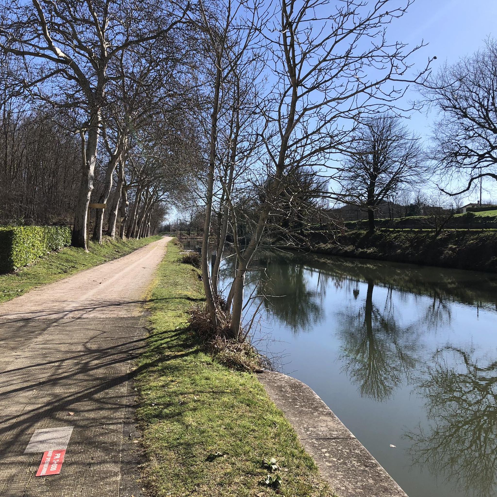
The Canal du Midi connects the Garonne River to the Mediterranean and is 241 km long.
1
0


"A 240.129 km long, 2.25 to 2.50 m deep waterway was declared a cultural monument as a "bridge" between the Mediterranean and the Atlantic with 328 structures such as bridges - such as the canal bridge over the Orb -, locks - such as the 7 lock cascades of Fonserrannes -, tunnels, aqueducts and 49 canals over streams and rivers." says the documentary from "Treasures of the World - Heritage of Humanity", a television series that brings world heritage sites closer to the culture-loving viewer (in German). The episode about the CANAL DU MIDI is available in the ARD media library under this link: => https://www.ardmediathek.de/video/schaetze-der-welt/gcanal-du-midi-frankreich-aufnahme-224/swr/Y3JpZDovL3N3ci5kZS82OTg2NDg2
2
0

The towpaths are a haven of peace for cyclists and should absolutely be practiced
0
0

Net Location am Canal du Midi.
0
0

With the canal over the river, unfortunately the short section of the surface is very rocky. More information: https://de.wikipedia.org/wiki/Canal_du_Midi?wprov=sfla1
4
0
Frequently Asked Questions
How many hiking trails are available around Villefranche-De-Lauragais?
There are over 60 hiking routes available around Villefranche-De-Lauragais. These trails cater to various preferences, from easy strolls along waterways to more moderate loops through the rolling hills.
What kind of terrain can I expect on hikes in Villefranche-De-Lauragais?
The region offers diverse terrain, characterized by picturesque hilly and green surroundings, often referred to as the 'collines du Lauragais'. You'll find gently undulating paths through rich lands, as well as flat sections along the historic Canal du Midi and around local lakes like Lac de la Thésauque and Lac de la Ganguise.
Are there options for different fitness levels?
Yes, the trails around Villefranche-De-Lauragais accommodate various fitness levels. You can choose from 24 easy routes, 33 moderate routes, and a few more challenging options, ensuring there's something for everyone.
Are there any circular hiking routes in the area?
Many of the popular routes in the region are circular. For example, you can enjoy the Hers Crossing loop from Gardouch for an easy walk, or the more moderate Canal du Midi loop from Gardouch.
Can I hike along the Canal du Midi?
Absolutely. The Canal du Midi, a UNESCO World Heritage site, is a central feature for hiking in the area. Its towpaths offer numerous opportunities for walks, with routes like the easy Canal du Midi – Hers Crossing loop from Gardouch providing accessible and scenic paths.
Are there family-friendly hiking options?
Yes, many trails are suitable for families. The flat and well-maintained towpaths along the Canal du Midi are particularly good for all ages. Look for the easy-rated routes, which often feature minimal elevation gain and pleasant scenery.
Are dogs allowed on the hiking trails?
Generally, dogs are welcome on most hiking trails in the Villefranche-De-Lauragais region, especially on the Canal du Midi towpaths and rural paths. It's always recommended to keep them on a leash, especially when passing through agricultural areas or near wildlife.
What natural features or landmarks can I see while hiking?
Hikers can discover several interesting features. Along the Canal du Midi, you might encounter the historic Écluse de l'Océan, which marks the highest point of the canal, or the Canal du Midi - Water sharing point. The region also offers views of the 'collines du Lauragais' and, on clear days, distant glimpses of the Pyrenees and Montagne Noire.
Are there any long-distance trails passing through the region?
Yes, the Via Tolosana, one of the major French pilgrimage routes to Santiago de Compostela, passes through the Villefranche-De-Lauragais region. This offers an opportunity for a more extensive trekking experience for those seeking longer journeys.
Where can I find panoramic views?
For expansive views, head to the 'collines du Lauragais' (hills of Lauragais). Routes near Montgaillard-Lauragais or the trail from Villefranche-de-Lauragais to Vallègue often provide far-reaching vistas across the plain, towards the Montagne Noire, and even the Pyrenees on clear days. The area around Lac de la Ganguise also offers beautiful panoramic scenery.
What do other hikers enjoy the most about hiking in Villefranche-De-Lauragais?
The area is highly rated by the komoot community, with an average score of 4.6 stars from nearly 100 reviews. Hikers often praise the diverse landscapes, the peaceful canal-side walks, and the charming rolling hills that provide varied and enjoyable experiences.
Is parking available at trailheads?
While specific parking details vary by trailhead, many popular starting points for hikes in the Villefranche-De-Lauragais region, especially in villages like Gardouch or Renneville, offer designated parking areas or roadside parking suitable for hikers.
Most popular routes around Villefranche-De-Lauragais
Most popular attractions around Villefranche-De-Lauragais

Get inspired with the komoot mobile app


Explore more
Browse the best Hikes in other regions.
