The best cycling routes around Les Martres-D'Artière
4.3
(271)
2,503
riders
257
rides
Touring cycling routes around Les Martres-D'Artière traverse the fertile Limagne plain and follow the Allier River, one of Europe's last wild rivers. The terrain is generally flat, maintaining an average altitude of about 300 meters with minimal elevation changes. Routes primarily utilize small, low-traffic country roads, offering a peaceful cycling experience through rural landscapes. The region along the Allier is part of the Natura 2000 protected area of Val d'Allier - Alagnon.
Best touring cycling routes around Les Martres-D'Artière
- The…
Last updated: November 1, 2026
5.0
(3)
17
riders
23.7km
01:44
120m
120m
Easy bike ride. Mostly paved surfaces.
5.0
(2)
11
riders
17.5km
01:20
130m
130m
Easy bike ride. Mostly paved surfaces.

5.0
(2)
20
riders
27.5km
02:12
330m
320m
Moderate bike ride. Good fitness required. Mostly paved surfaces.
4.3
(7)
76
riders
19.3km
01:22
100m
110m
Hard bike ride. You may need to push your bike for some segments of this route.
12
riders
49.1km
03:57
440m
440m
Hard bike ride. Good fitness required. You may need to push your bike for some segments of this route.
Get access to more routes and recommendations from other explorers.
Already have an account?
Our route recommendations are based on thousands of hikes, rides, and runs completed by other people on komoot.
Start today with a free account
Your next adventure awaits.

Tips from the Community

Inaugurated in 1889, this Eiffel-type road bridge was recently restored with the addition of two separate lanes to make it safer for pedestrians/cyclists to cross the Allier River.
2
0

Nice place, take the opportunity to go up to Puy d'Anzelles which is right next door!!
1
0

Located on the banks of the Allier, Pont-du-Château has long been the river port of the Auvergne capital. This medieval town has narrow streets with atypical charm. Its Pierre Mondanel museum allows you to delve into the history of the city which was from the 16th to the 19th century an essential place for boating activity.
0
0

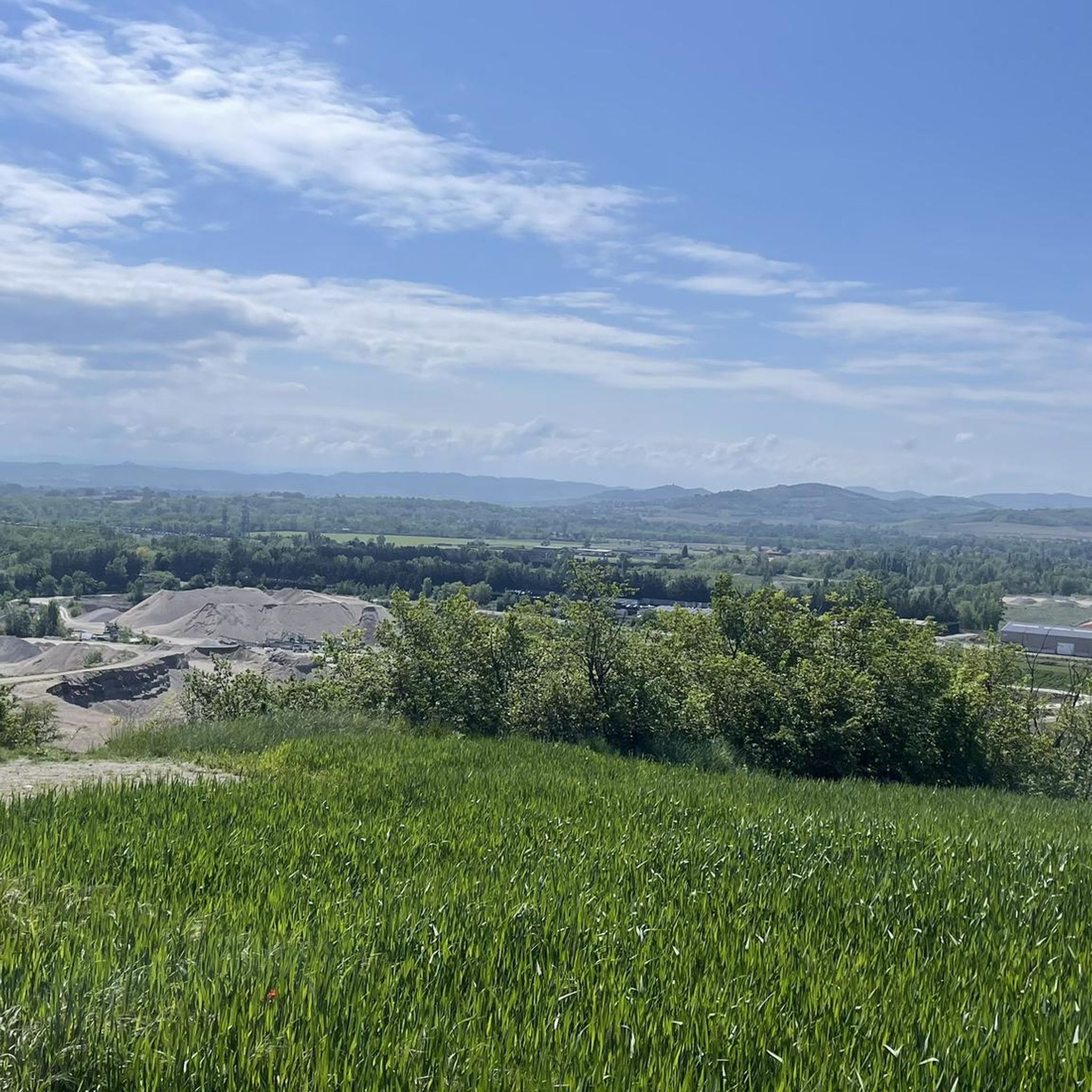
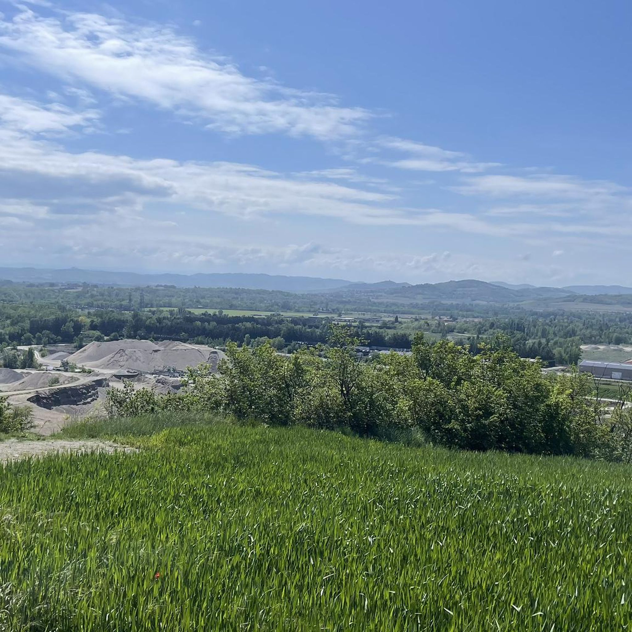
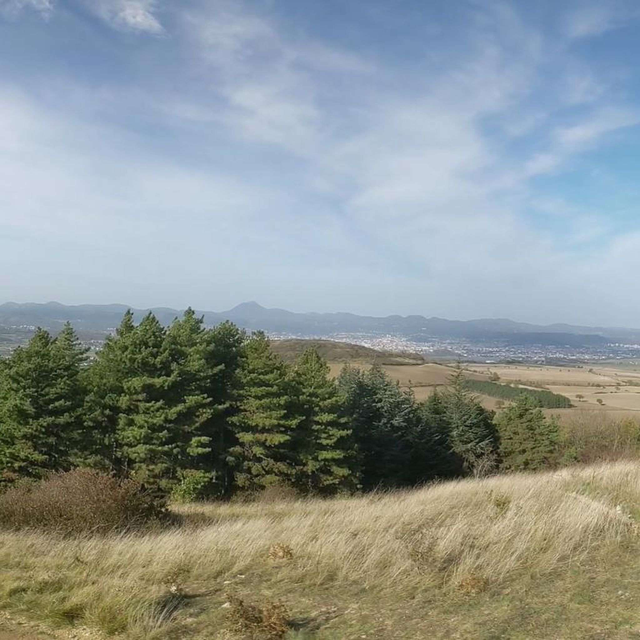
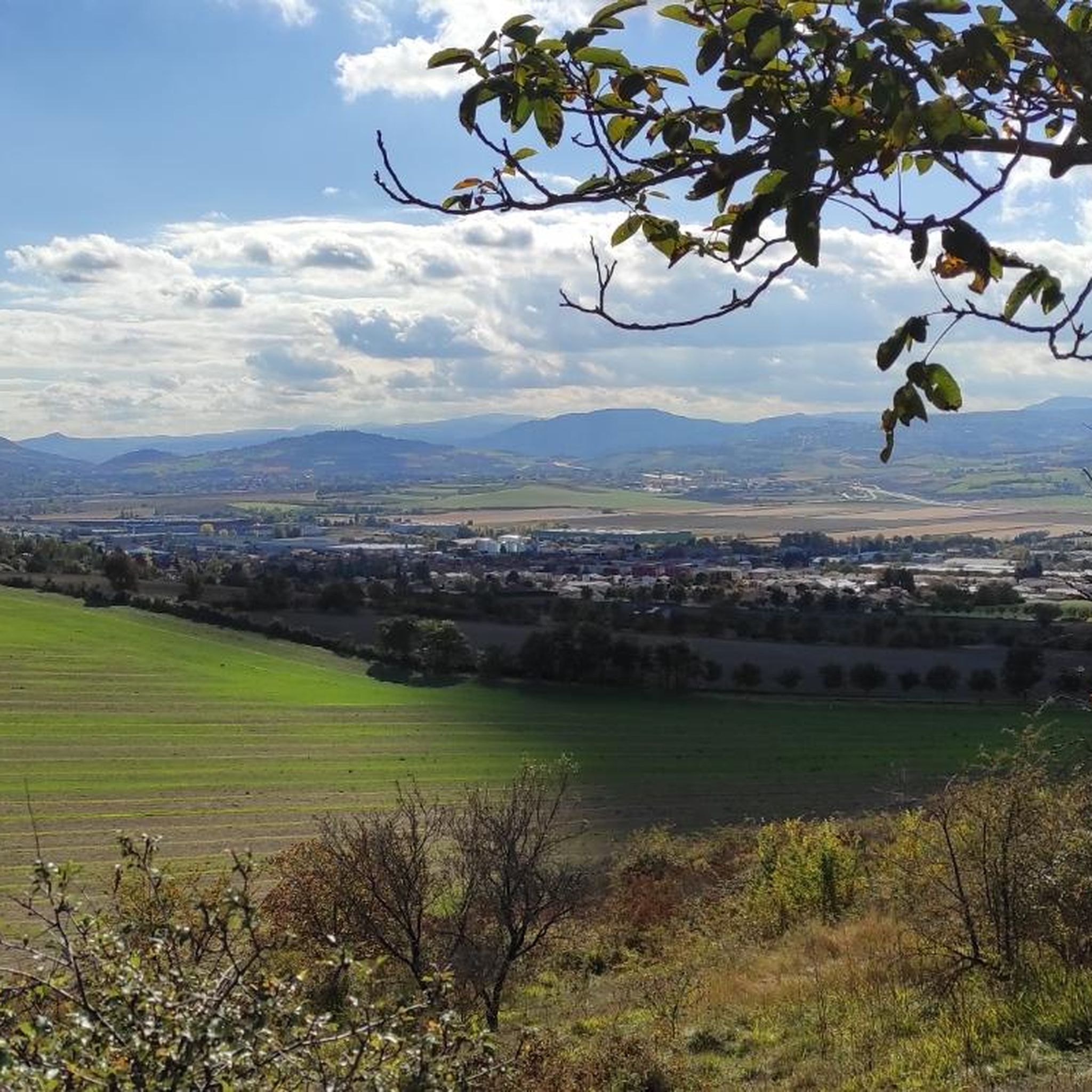
The Puy de Bane above Cournon offers lovely views over the plain of Clermont and the Puys range
0
0

Bridge after gravel section coming from Clermont which offers a view in a straight line on the West and the Puy de Dôme and the East, the Forez mountains
0
0

Plateau on the heights of Cournon (many paths present) with a view of the Puy de Dôme
0
0

The Martailles lake is a very beautiful sand pit located at Les Martres d'Artière in the Puy de Dôme at an altitude of around 300 meters, in the immediate vicinity of the Allier and the Artière.
0
0

Dallet is a pretty village located 12 kilometers east of Clermont-Ferrand, on the banks of the Allier river. Dallet is installed on the slope of the Puy de Mur, a hill of volcanic origin overlooking the entire village and culminating at 603 meters above sea level. Dallet is located on the route of the Véloroute V70. "Les Ombrages" campsite on the banks of the Allier.
0
0
Frequently Asked Questions
What is the typical terrain like for touring cycling around Les Martres-d'Artière?
The terrain around Les Martres-d'Artière is generally flat, as it traverses the fertile Limagne plain. You'll find routes maintaining an altitude of approximately 300 meters with very few significant climbs, making it accessible for various fitness levels. The routes primarily use small, low-traffic country roads, offering a peaceful cycling experience.
Are there any long-distance touring cycling routes that pass through Les Martres-d'Artière?
Yes, Les Martres-d'Artière is situated along the Via Allier cycle route. This substantial itinerary largely follows the Allier River, offering a journey through varied landscapes. The section near Les Martres-d'Artière is particularly known for its relatively flat profile.
Can I find circular touring cycling routes in the area?
Yes, there are several circular touring cycling routes available. For example, the Pont-du-Château – Martailles Pond loop from Les Martres-d'Artière is an easy 23.7 km route that offers views of local ponds and countryside. Another option is the Church in Culhat – Church in Vinzelles loop from Beauregard-l'Évêque, a moderate 56.5 km path exploring rural charm.
Are there family-friendly touring cycling routes suitable for all ages?
Given the generally flat terrain and the use of small, low-traffic country roads, many routes around Les Martres-d'Artière are suitable for families. The section of the Via Allier near the town is particularly accessible. Routes like the Pont-du-Château – Martailles Pond loop from Les Martres-d'Artière are classified as easy and are great for a family outing.
What kind of natural scenery can I expect to see while cycling?
You'll primarily experience the tranquil beauty of the Allier River, one of Europe's last wild rivers, as many routes follow its banks. The area is part of the Val d'Allier - Alagnon Natura 2000 protected zone, rich in biodiversity. You can observe various flora and fauna, including birds like herons and kingfishers. The routes also traverse the expansive Limagne plain, offering open views of agricultural lands and charming rural landscapes with traditional houses.
What are some interesting landmarks or places to explore along the cycling routes?
While cycling, you can explore charming villages and natural features. The Dallet village is a notable settlement you might pass through. You can also discover the Road between Perignat-sur-Allier and Saint-Georges-sur-Allier, which offers scenic views. The area's small communes with traditional houses and pigeonniers also provide a glimpse into authentic Auvergne countryside life.
What is the best time of year for touring cycling in Les Martres-d'Artière?
The spring and autumn months generally offer the most pleasant conditions for touring cycling in Les Martres-d'Artière. The weather is typically milder, and the natural landscapes are vibrant. Summer can also be enjoyable, but it's advisable to cycle earlier in the morning or later in the afternoon to avoid the midday heat.
Are there challenging touring cycling routes for advanced cyclists?
While much of the immediate area is relatively flat, there are routes with more significant elevation gains for those seeking a challenge. For instance, the Dallet village – Dallet bridge loop from Pont-du-Château is a 47.5 km route classified as difficult, with over 460 meters of elevation gain. Another challenging option is the Dallet village – Dallet bridge loop from Lussat, which covers 44.7 km with nearly 500 meters of ascent.
What do other touring cyclists enjoy the most about cycling in Les Martres-d'Artière?
The area is highly rated by the komoot community, with an average score of 4.4 stars from over 240 reviews. Reviewers often praise the tranquil nature of the routes along the Allier River, the peaceful experience on low-traffic country roads, and the charming rural landscapes of the Auvergne.
Is it possible to access the cycling routes using public transport?
While specific public transport connections directly to all trailheads might vary, the Puy-de-Dôme department has developed cycling infrastructure, and regional transport options may allow access to towns near the routes. It's recommended to check local bus or train services for connections to Les Martres-d'Artière or nearby larger towns like Pont-du-Château, which serve as starting points for some tours.
Are there places to stop for food or drinks along the routes?
The routes often pass through small communes and villages where you can find local cafes, bakeries, or restaurants. While not every route will have continuous amenities, planning your stops in towns like Dallet or Pont-du-Château, which are featured in routes such as the Dallet village – Dallet bridge loop from Pont-du-Château, will provide opportunities for refreshments.
Are there any specific permits required for cycling on these routes?
Generally, no specific permits are required for touring cycling on the established routes and country roads around Les Martres-d'Artière. The area is open for public access, particularly along the Via Allier and the network of departmental cycling paths. Always respect private property and local regulations.
Most popular routes around Les Martres-D'Artière
Most popular attractions around Les Martres-D'Artière

Get inspired with the komoot mobile app


Explore more
Browse the best Cycling routes in other regions.
