The best walks and hikes around Saint-Mamet-La-Salvetat
4.5
(131)
1,056
hikers
76
hikes
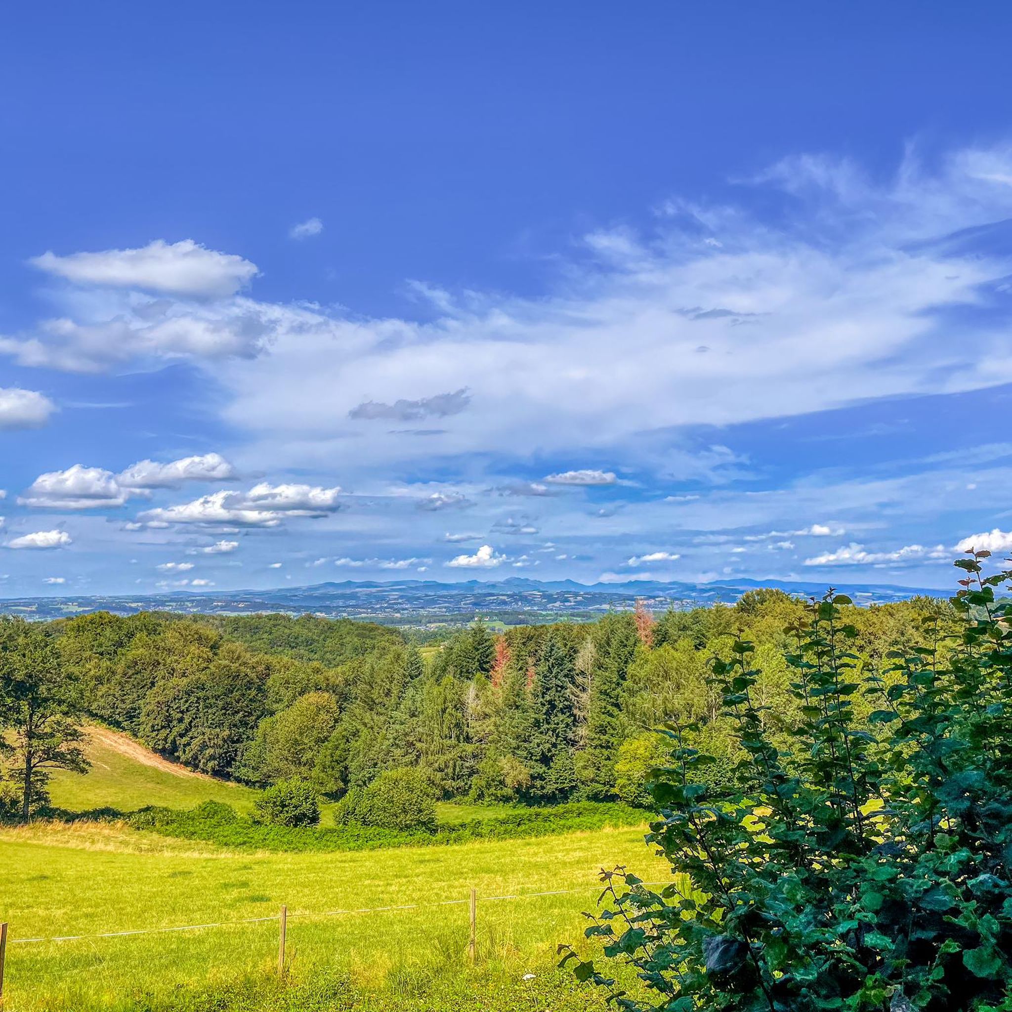
Hiking around Saint-Mamet-La-Salvetat offers diverse landscapes and panoramic views within the Cantal department of south-central France. The region features a hilly terrain with elevations ranging from 499 to 790 meters, including the prominent Puy Saint-Laurent at 771 meters. Trails traverse shaded forests, picturesque valleys, and offer vistas of the volcanic Cantal massif and the nearby Lac de Saint-Étienne-Cantalès. The area provides a network of well-maintained routes suitable for various hiking abilities.
Best hiking trails around Saint-Mamet-La-Salvetat
- The most popular hiking…
Last updated: May 12, 2026
4.3
(6)
40
hikers
5.20km
01:25
80m
80m
Easy hike. Great for any fitness level. Easily-accessible paths. Suitable for all skill levels.
5.0
(2)
23
hikers
11.7km
03:09
140m
140m
Moderate hike. Good fitness required. Easily-accessible paths. Suitable for all skill levels.

Sign up for free
5.0
(2)
9
hikers
5.29km
01:32
140m
140m
Easy hike. Great for any fitness level. Easily-accessible paths. Suitable for all skill levels.
13
hikers
3.26km
00:51
20m
20m
Easy hike. Great for any fitness level. Easily-accessible paths. Suitable for all skill levels.
4.0
(1)
5
hikers
12.7km
03:38
290m
290m
Moderate hike. Good fitness required. Easily-accessible paths. Suitable for all skill levels.
Get access to more routes and recommendations from other explorers.
Sign up for free
Already have an account?
Our route recommendations are based on thousands of hikes, rides, and runs completed by other people on komoot.
Start today with a free account
Your next adventure awaits.
Login or Signup



Tips from the Community

very well equipped lake tour with benches and games for children
0
0

Body of water with many facilities: playground for children, picnic tables, barbecues. A 1.7 km trail circles the lake.
1
0
Frequently Asked Questions
How many hiking trails are available around Saint-Mamet-La-Salvetat?
There are over 80 hiking trails in the Saint-Mamet-La-Salvetat area. These routes offer a variety of experiences, from easy strolls to more challenging treks, traversing diverse landscapes within the Cantal department.
What kind of terrain can I expect on hikes in Saint-Mamet-La-Salvetat?
Hikes in Saint-Mamet-La-Salvetat feature a diverse terrain, including hilly landscapes with elevations ranging from 499 to 790 meters. You'll find trails winding through shaded forests, picturesque valleys, and offering panoramic views of the volcanic Cantal massif and the nearby Lac de Saint-Étienne-Cantalès. Some routes also pass by charming hamlets and old mills.
Are there easy hiking trails suitable for beginners or casual walkers?
Yes, Saint-Mamet-La-Salvetat offers many easy hiking trails. Approximately 40 of the routes are classified as easy, perfect for beginners or those looking for a relaxed walk. An example is the Small Waterfall in the Forest loop from Saint-Mamet-la-Salvetat, which is about 5.3 km long.
Are there any challenging hikes for experienced trekkers?
While the majority of trails are easy to moderate, there are a few more challenging options for experienced trekkers. The region's hilly terrain and volcanic landscapes provide opportunities for routes with greater elevation gains, such as the "Le Rêtre" Circuit, which is 12 km with a 350-meter elevation gain.
Can I find hikes with waterfalls in the area?
Yes, you can find hikes that lead to waterfalls. For instance, the Small Waterfall in the Forest loop from Saint-Mamet-la-Salvetat is a popular easy route that takes you through forested areas to a small waterfall.
Are there any circular hiking routes?
Many of the hiking routes in Saint-Mamet-La-Salvetat are circular, allowing you to start and end at the same point. Examples include the Plage du Puech des Ouilhes loop from Lacapelle-Viescamp and the Moulin du Teil lake – Lac du Rouget loop from Le Rouget, as well as local circuits like "La Salvetat" and "Le Petit Martinet" mentioned in regional guides.
Are there family-friendly hiking options?
Absolutely. The area offers numerous family-friendly hikes, especially the easier, shorter loops. The nearby Lac de Saint-Étienne-Cantalès is a hub for family activities, and trails around it, such as the Plage du Puech des Ouilhes loop, are suitable for families. The Himalayan footbridge at the lake also offers a unique experience.
Are dogs allowed on the hiking trails?
Most hiking trails in the Saint-Mamet-La-Salvetat region are dog-friendly, though it's always recommended to keep your dog on a leash, especially in areas with livestock or wildlife. Be sure to check local signage for any specific restrictions.
What natural landmarks or viewpoints can I see while hiking?
The region is rich in natural landmarks and viewpoints. The Puy Saint-Laurent offers a spectacular 360-degree panoramic view of the Cantal mountains. You can also enjoy expansive views of the volcanic Cantal massif and the Lac de Saint-Étienne-Cantalès. Many trails traverse shaded forests and picturesque valleys, offering serene natural beauty.
Are there any interesting historical or cultural attractions along the trails?
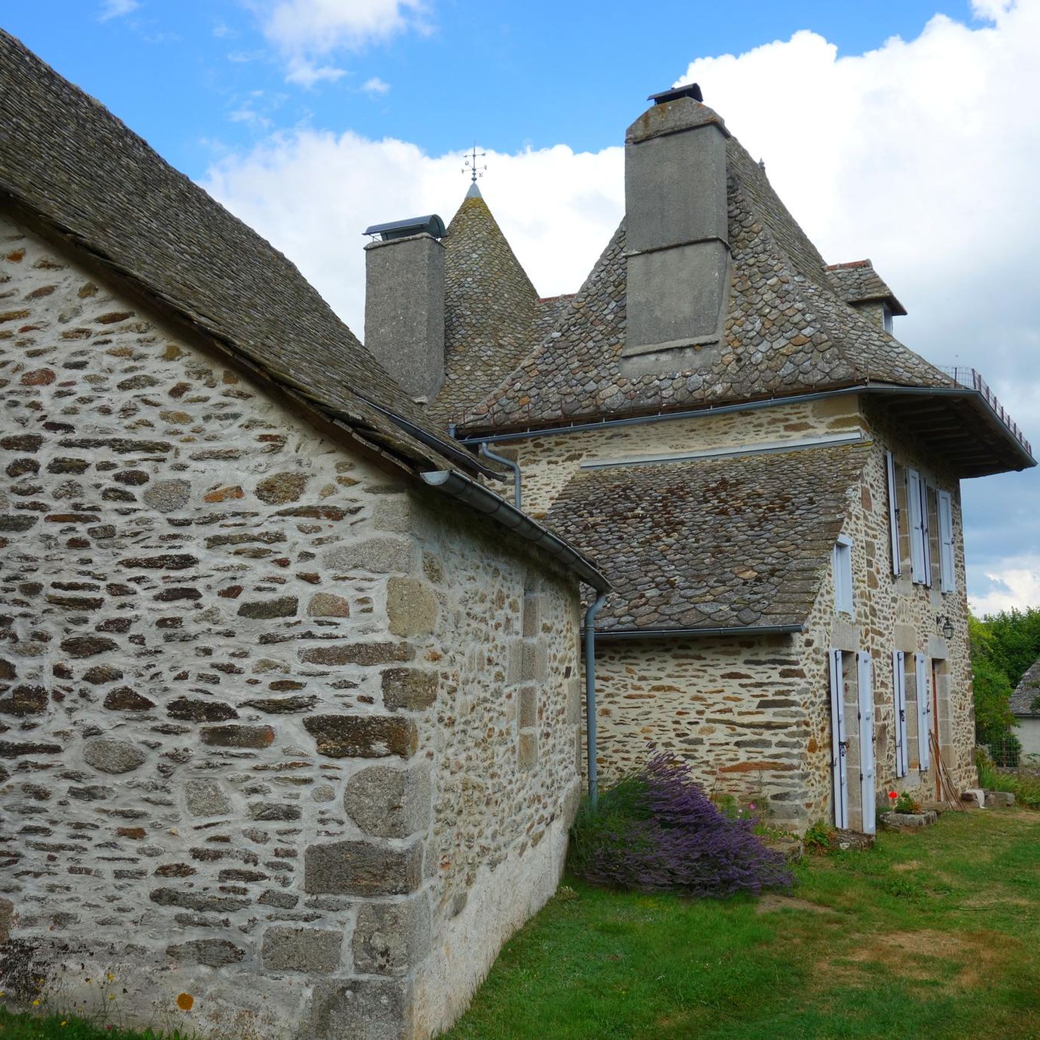
Yes, several trails offer glimpses into the region's history and culture. You might pass by old mills, such as the Moulin d'Entraygues. The village of Saint-Mamet-La-Salvetat itself features traditional Cantalian architecture and the historic Church of Saint-Mamet. The nearby village of La Salvetat also has a restored church and a historic tower.
What do other hikers enjoy most about hiking in Saint-Mamet-La-Salvetat?
The hiking experiences around Saint-Mamet-La-Salvetat are highly rated by the komoot community, with an average score of 4.5 stars from over 120 reviews. Hikers often praise the diverse landscapes, the panoramic views of the Cantal mountains, the serene forests, and the well-maintained trails that cater to various skill levels.
Is there public transport available to reach trailheads?
While specific public transport routes directly to all trailheads might be limited, the main towns and villages in the Cantal department, including Aurillac, are generally served by regional bus networks. It's advisable to check local transport schedules for connections to Saint-Mamet-La-Salvetat or nearby starting points.
Where can I find parking for hiking trails?
Parking is generally available near popular trailheads and in the villages. For routes starting from Saint-Mamet-La-Salvetat or nearby hamlets, you can usually find designated parking areas. For lakeside trails, such as those around Lac de Saint-Étienne-Cantalès, there are often parking facilities near beaches and activity centers.
Most popular routes around Saint-Mamet-La-Salvetat
Most popular attractions around Saint-Mamet-La-Salvetat

Get inspired with the komoot mobile app


Explore more
Browse the best Hikes in other regions.
