The best running trails around Guilherand-Granges
4.4
(71)
2,444
runners
24
runs
Jogging routes Guilherand-Granges are set against the backdrop of the Rhône River and the historic Crussol Castle. The region features a varied topography, ranging from 106 meters to 407 meters above sea level, offering both flat riverside paths and more challenging uphill sections. Runners can experience diverse landscapes, including wooded areas and expansive views of the Vercors and Ardèche massifs. The area provides a network of trails suitable for various running intensities.
Best jogging routes around Guilherand-Granges
- The most popular jogging route is Lône de Blaud loop from Valence, a 6.4 miles (10.2 km) trail that takes 1 hour 5 minutes to complete. This moderate route follows the scenic Lône de Blaud, offering a pleasant riverside running experience.
- Another top favourite among local runners is La Voie Bleue loop from Valence, a moderate 4.0 miles (6.4 km) path. This route utilizes the "La Voie Bleue" path along the Rhône, providing accessible terrain for exploring the natural environment.
- Local runners also love the Running loop from Guilherand-Granges, a 3.2 miles (5.1 km) trail leading through local landscapes, often completed in about 32 minutes.
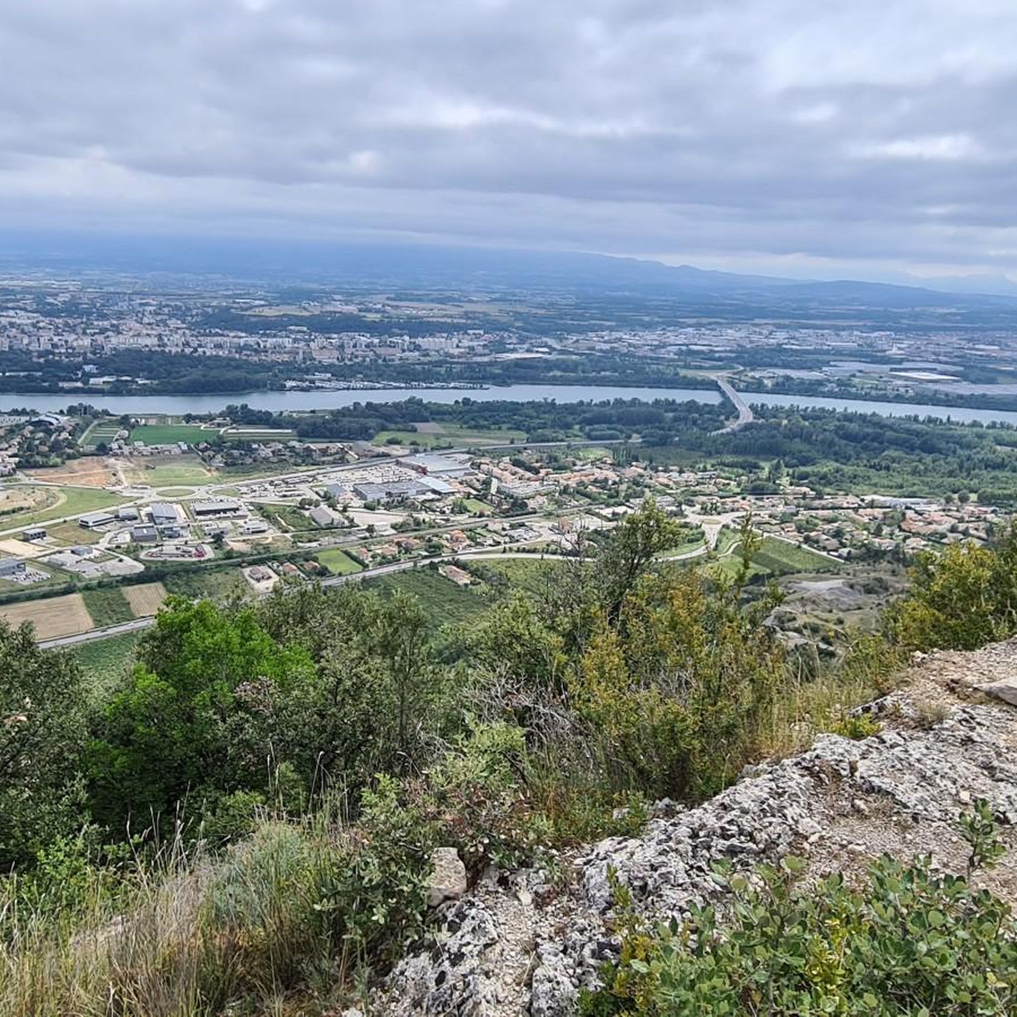
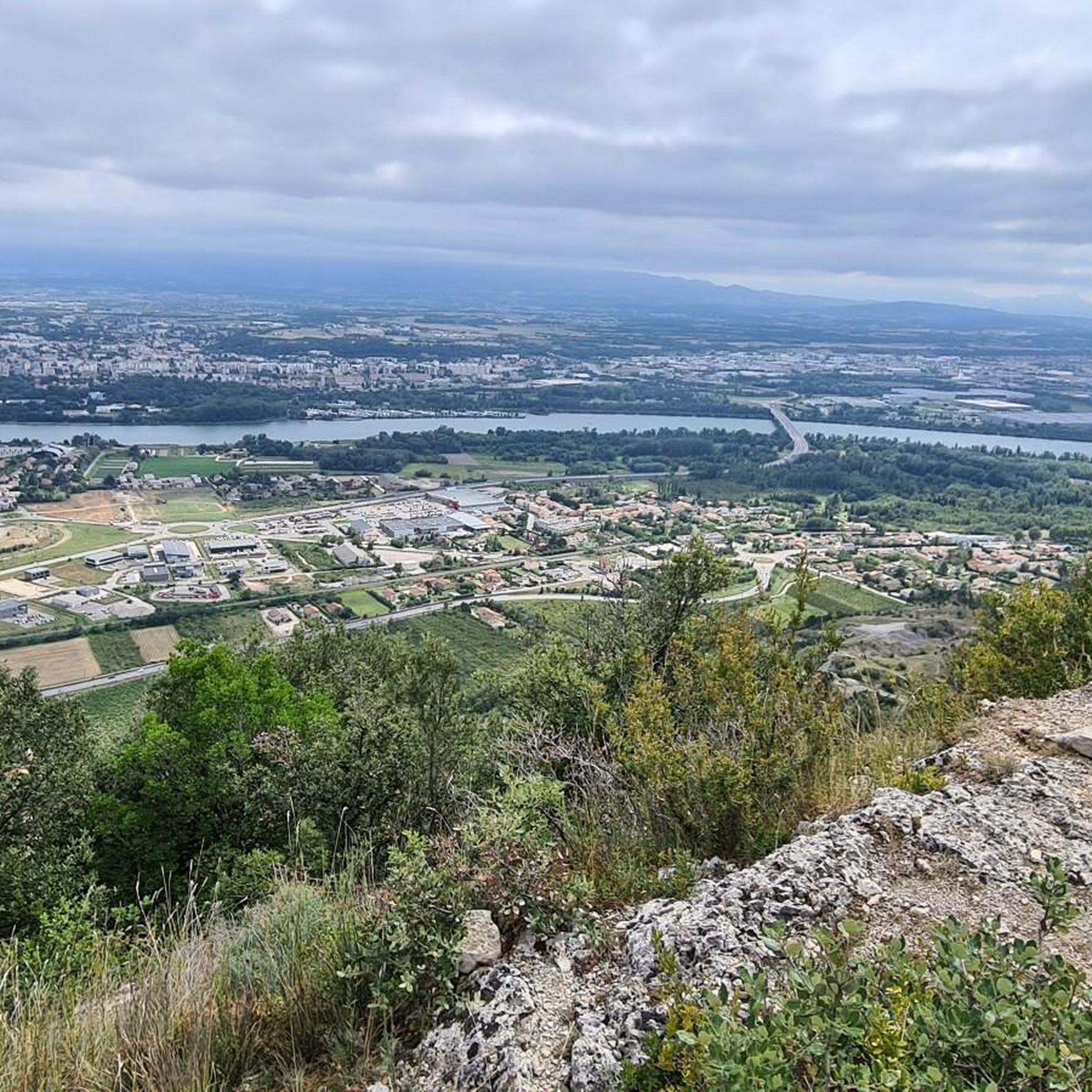
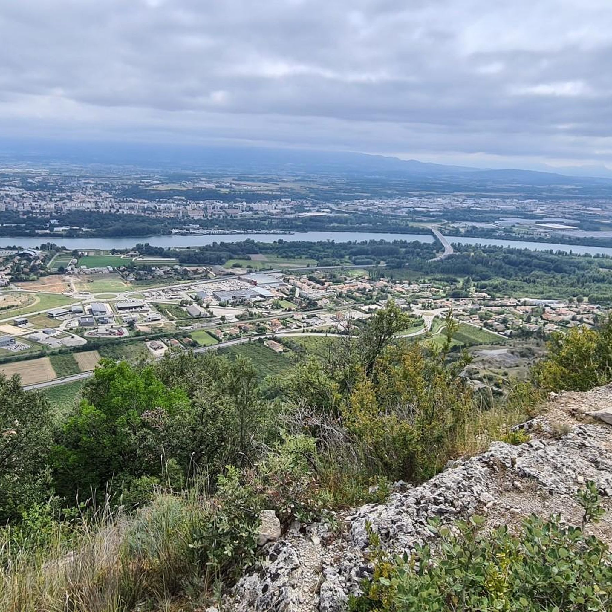
- Jogging around Guilherand-Granges is defined by the Rhône River embankments, the historic Crussol Castle area, and panoramic views of the Vercors and Ardèche massifs. The network offers options for different ability levels, from easy riverside paths to more varied terrains around the castle.
- The routes in Guilherand-Granges are highly rated by the komoot community with an average score of 4.5 stars from over 40 reviews. More than 2400 runners have used komoot to explore Guilherand-Granges's varied terrain.
Last updated: October 4, 2026
55
runners
10.1km
01:16
290m
290m
Moderate run. Good fitness required. Mostly paved surfaces. Suitable for all skill levels.
84
runners
8.15km
00:51
20m
20m
Moderate run. Good fitness required. Mostly paved surfaces. Suitable for all skill levels.

32
runners
10.2km
01:19
290m
290m
Moderate run. Good fitness required. Mostly paved surfaces. Suitable for all skill levels.
5.0
(1)
63
runners
5.44km
00:34
20m
20m
Moderate run. Good fitness required. Mostly paved surfaces. Suitable for all skill levels.
23
runners
7.49km
00:48
10m
10m
Moderate run. Good fitness required. Mostly paved surfaces. Suitable for all skill levels.
Get access to more routes and recommendations from other explorers.
Already have an account?
Our route recommendations are based on thousands of hikes, rides, and runs completed by other people on komoot.
Start today with a free account
Your next adventure awaits.

Tips from the Community

Very rocky terrain, wear suitable footwear. Pleasant and sporty 👌🏽
1
0


Superb view of the valley.
0
0

beautiful castle dominating the entire region of Valencia
0
1

Bike trail bridge across one of the old canals paralleling the main river that today is transformed into a wild nature preserve.
2
1
Frequently Asked Questions
How many running routes are available in Guilherand-Granges?
Guilherand-Granges offers a network of over 20 running routes. These include a mix of easy, moderate, and challenging options, catering to various fitness levels and preferences.
Are there easy running routes suitable for beginners in Guilherand-Granges?
Yes, Guilherand-Granges has several easy running routes perfect for beginners or those looking for a relaxed pace. These often feature flat terrain along the Rhône River. For instance, the "Le tour des deux ponts à Guilherand-Granges" is described as a very easy stroll, and routes like La Voie Bleue loop from Valence offer accessible, largely paved surfaces.
What kind of terrain can I expect on the running trails around Guilherand-Granges?
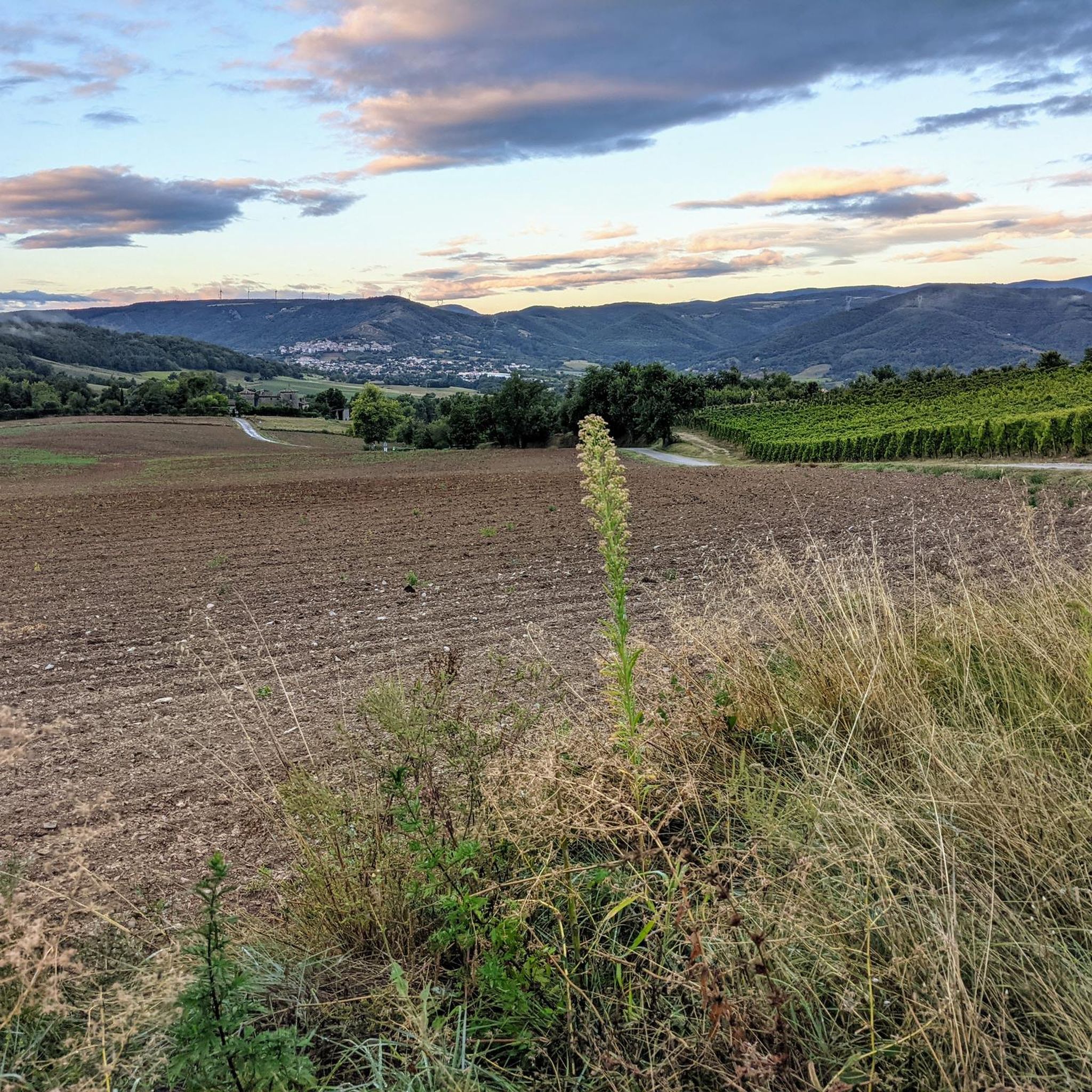
The region offers a varied topography, ranging from flat riverside paths along the Rhône to more challenging uphill sections around areas like the Monts du Vivarais foothills. You'll find routes with wooded areas of green oaks, open embankments, and trails around historic sites like Crussol Castle, providing a mix of paved and natural surfaces.
Are there any scenic viewpoints or landmarks along the running routes?
Absolutely. Many routes offer expansive vistas of the Vercors and Ardèche massifs. You can also run near the majestic ruins of the 11th-century Crussol Castle, which dominates the Rhône Valley. The Esplanade du Champ de Mars also provides a great viewpoint.
Can I find circular running routes in Guilherand-Granges?
Yes, many of the running paths in Guilherand-Granges are designed as loops, making them convenient for a continuous run. Examples include the Lône de Blaud loop from Valence and the La Voie Bleue loop from Guilherand-Granges, both offering pleasant circular experiences.
Are the running trails in Guilherand-Granges suitable for families?
Yes, the area provides options suitable for families. The flatter, well-maintained paths along the Rhône River, such as sections of "La Voie Bleue," are ideal for family outings, allowing for a relaxed pace and easy navigation. Routes with minimal elevation gain are generally best for families.
What are the elevation changes like on the running trails?
The elevation in Guilherand-Granges varies significantly, from 106 meters to 407 meters above sea level. This means you can choose between relatively flat routes along the river, with minimal elevation gain (e.g., 10-20 meters), or more challenging trails with greater ascents, particularly around the Crussol Castle area and the foothills of the Monts du Vivarais.
What do other runners enjoy most about the trails in Guilherand-Granges?
The running routes in Guilherand-Granges are highly rated by the komoot community, with an average score of 4.5 stars from over 40 reviews. Runners often praise the scenic views of the Rhône River and the surrounding massifs, the varied terrain, and the accessibility of the trails, particularly the well-maintained riverbanks.
Are there any running routes that follow the Rhône River?
The Rhône River is a central feature for running in Guilherand-Granges. Many routes utilize its developed embankments, offering picturesque settings and accessible paths. The La Voie Bleue loop from Valence is a prime example, following the "La Voie Bleue" path directly along the river.
Can I combine my run with a visit to a historical site?
Absolutely. The majestic Crussol Castle is a prominent historical landmark in the area. You can find running routes that explore the trails around this 11th-century medieval ruin, offering both a workout and a journey through history with panoramic views.
What's a good moderate-distance running route in the area?
For a moderate-distance run, consider the Lône de Blaud – La Gare Cyclo Dodo Café loop from Guilherand-Granges. This route covers approximately 10.7 kilometers (6.6 miles) with a moderate elevation gain, offering a good balance of distance and challenge.
Where can I find information about Guilherand-Granges itself?
For more general information about Guilherand-Granges, including its local attractions and services, you can visit the official tourism website: rhone-crussol-tourisme.com.
Most popular routes around Guilherand-Granges
Most popular attractions around Guilherand-Granges

Get inspired with the komoot mobile app


Explore more
Browse the best Running Trails & Routes in other regions.
