The best walks and hikes around Biberbach
4.7
(239)
536
hikers
108
hikes
Hiking around Biberbach offers diverse landscapes for outdoor enthusiasts. The region features the idyllic Lechfeld landscape and the Schmutter River, providing peaceful environments for walking. Rolling hills and wooded areas characterize much of the terrain, with paths suitable for various activity levels. The area includes both gentle river paths and routes with moderate elevation changes.
Best hiking trails around Biberbach
- The most popular hiking route is Schmutter River – Schmutter River Near Achsheim loop from Biberbach, a 4.6 miles…
Last updated: October 7, 2026
4.0
(5)
22
hikers
7.40km
01:53
20m
20m
Easy hike. Great for any fitness level. Easily-accessible paths. Suitable for all skill levels.
4.6
(9)
20
hikers
Easy hike. Great for any fitness level. Easily-accessible paths. Suitable for all skill levels.

6
hikers
8.93km
02:22
90m
90m
Moderate hike. Good fitness required. Easily-accessible paths. Suitable for all skill levels.
4.3
(4)
15
hikers
3.63km
00:59
50m
50m
Easy hike. Great for any fitness level. Easily-accessible paths. Suitable for all skill levels.
5.0
(1)
18
hikers
Moderate hike. Good fitness required. Easily-accessible paths. Suitable for all skill levels.
Get access to more routes and recommendations from other explorers.
Already have an account?
Our route recommendations are based on thousands of hikes, rides, and runs completed by other people on komoot.
Start today with a free account
Your next adventure awaits.

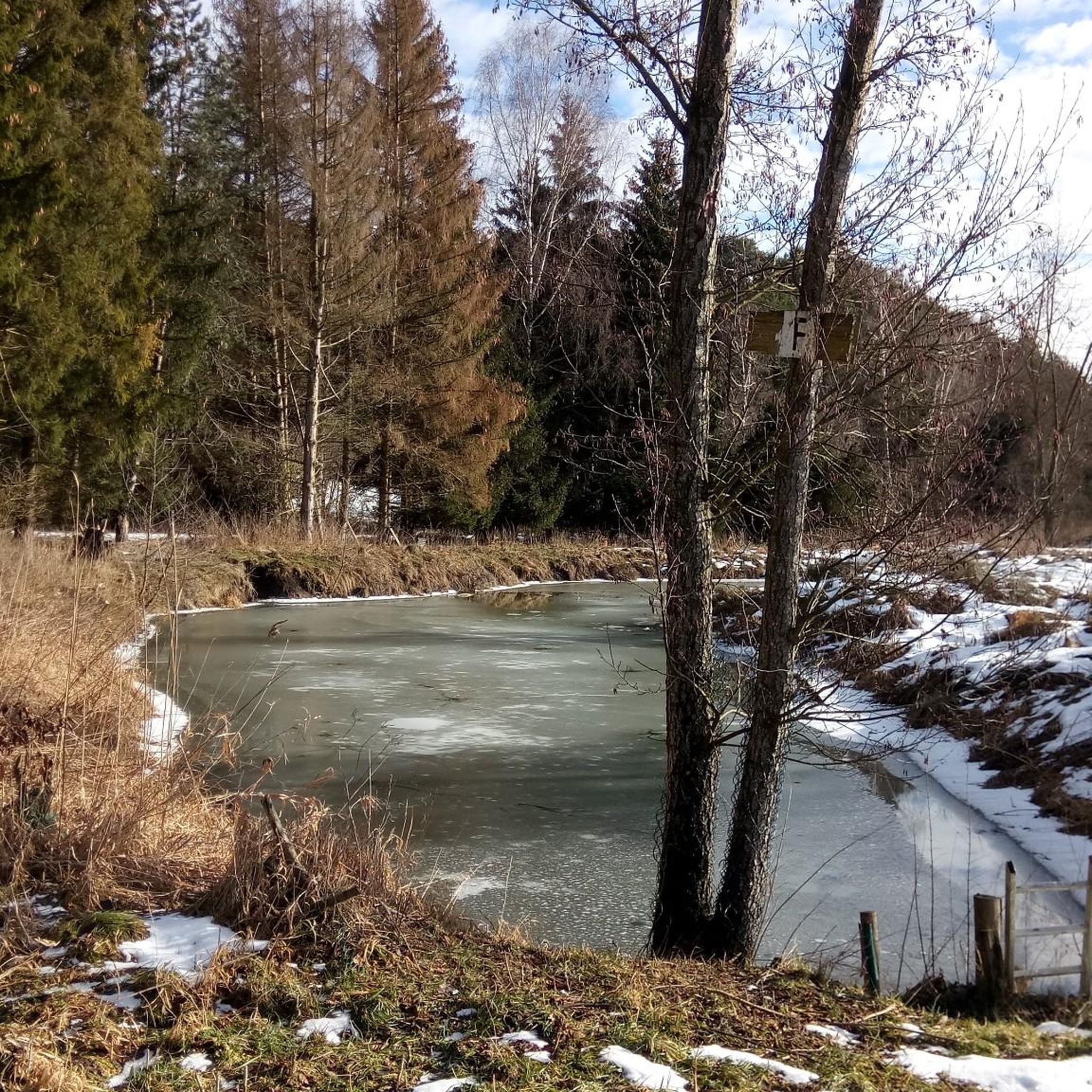
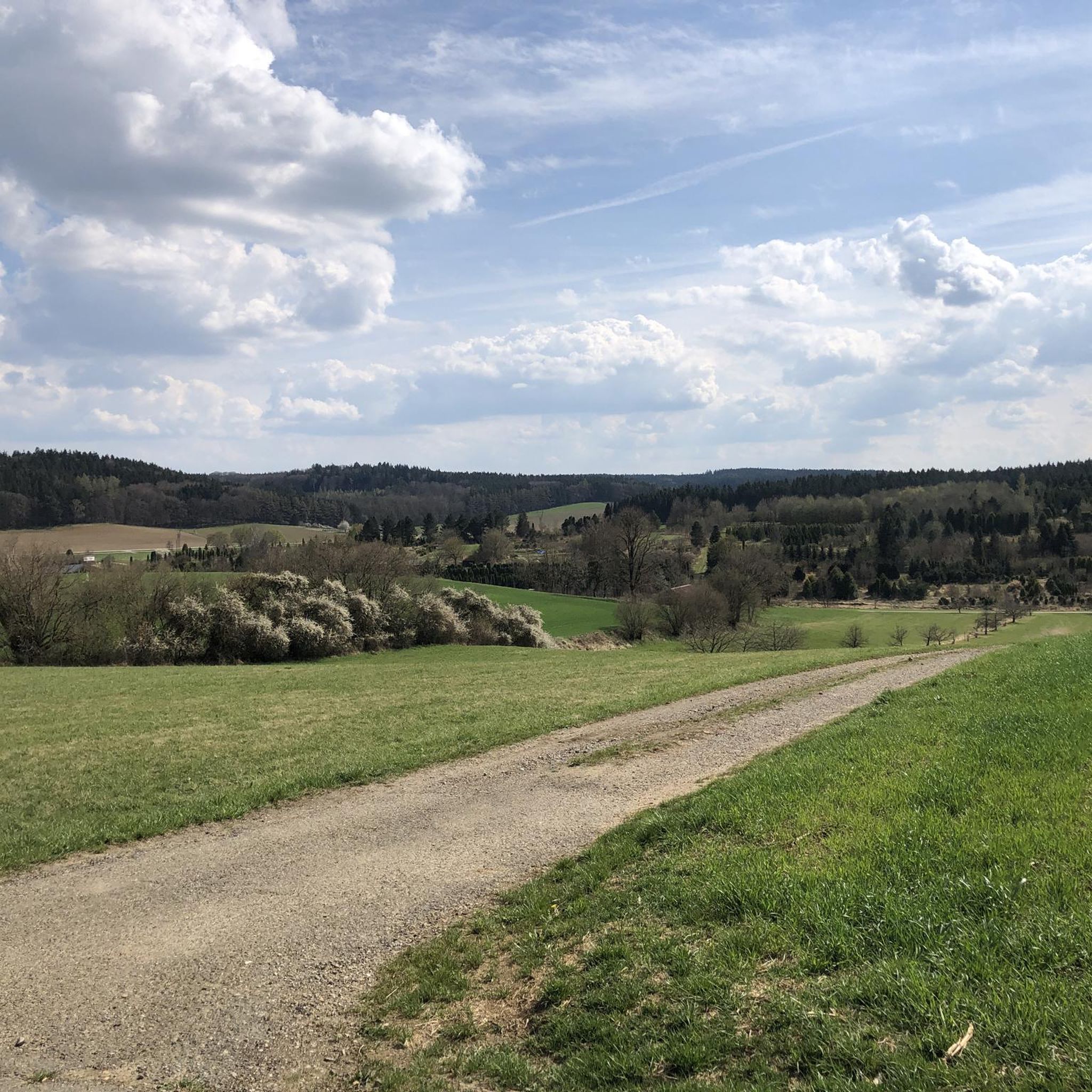
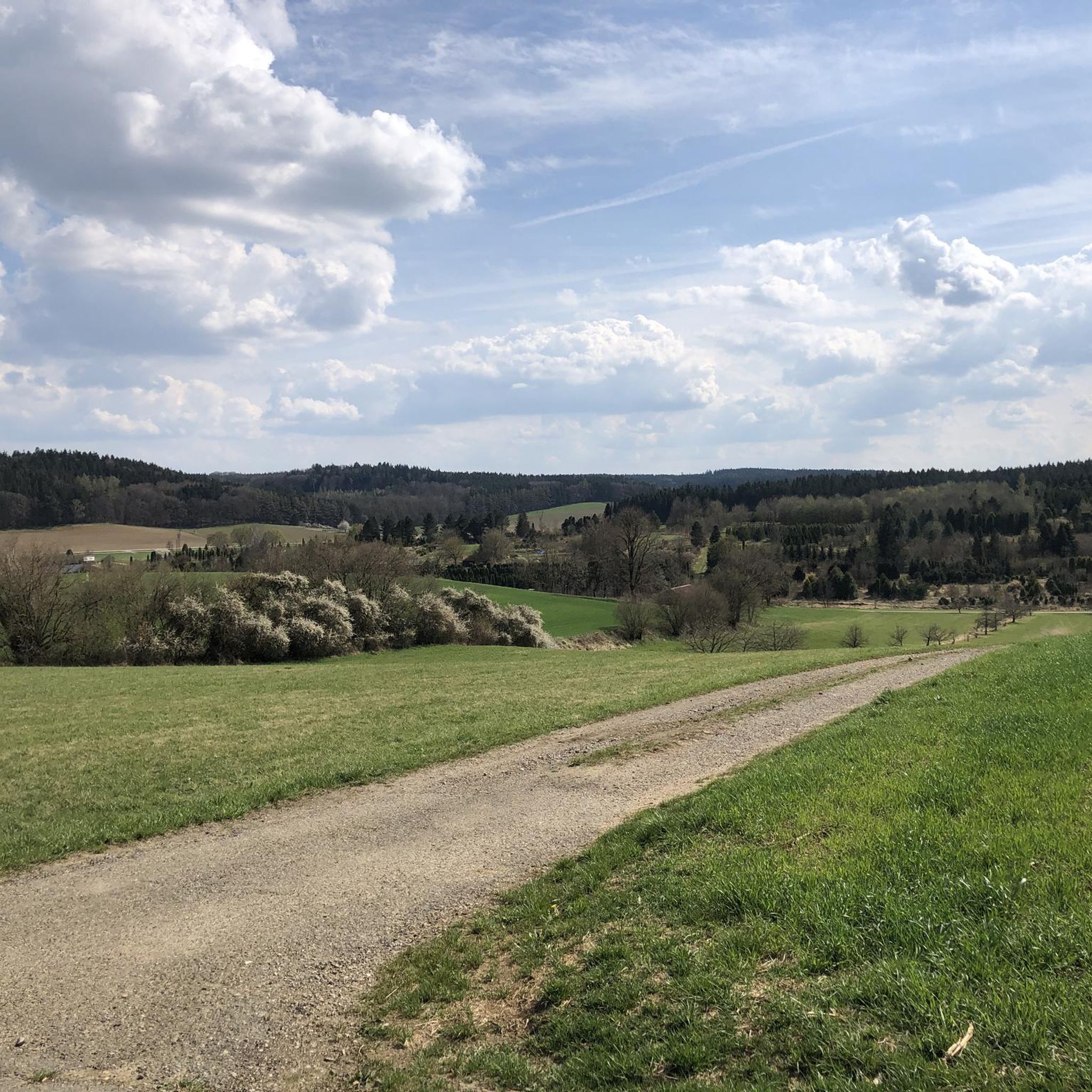

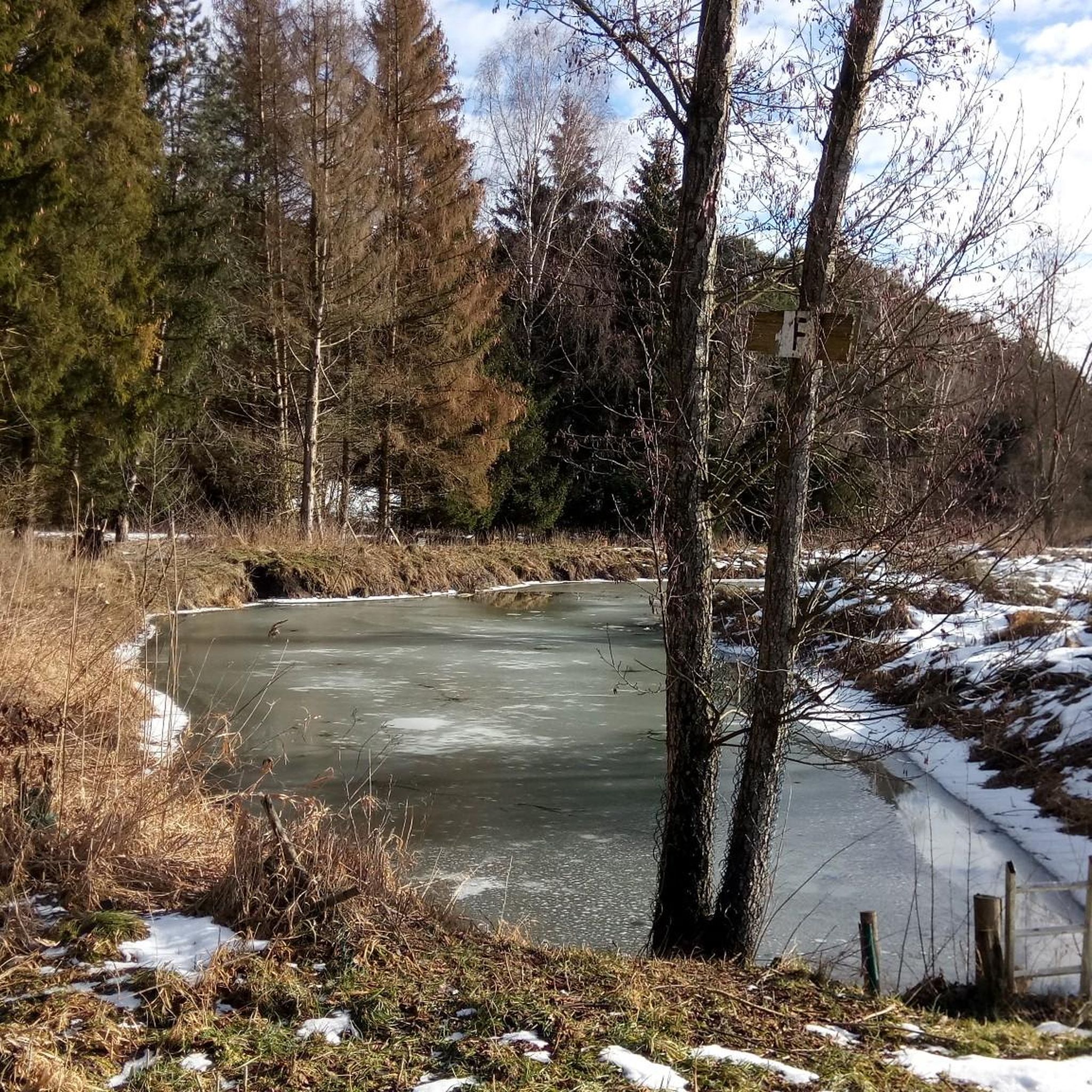
Other adventures around Biberbach

Tips from the Community

It's strictly private, so forget about shuffling in there.
0
0

The LEW also offers its own tours for larger groups and upon reservation.
0
0

A small hut serving ice cream from Uli von Bocksberg, grilled meats, eggs, honey from Affaltern, handmade decorations, and a few other delicacies. Open 24 hours, card payments accepted.
0
0

The Lech is a right tributary of the Danube. The 256 km long river originates in Vorarlberg in the Hochtannberg region at the confluence of the Spullerbach and Formarinbach streams in the Tannläger valley. It flows through Tyrol and southern Bavaria, where it empties into the Danube. Shortly before the Austrian-German border, it joins the Vils river, forms the artificial Lechfall near Füssen, and crosses Swabia and Upper Bavaria on its way. The largest cities on the Lech are Landsberg and Augsburg; in this city, it receives its largest tributary, the Wertach. The river empties into the Danube near Marxheim. Source: Wikipedia
1
0
The Lech Canal is a non-navigable, left-bank canal of the Lech River. It branches off from the river near Gersthofen and rejoins the river after passing the hydroelectric power plants in Gersthofen, Langweid, and Meitingen. Also known as the LEW Works Canal, it was built in sections between 1898 and 1922 for power generation and flood protection. It is approximately 18 km long and 28 m wide, and is spanned by seven traffic bridges. Source: Wikipedia
2
0

Built in the 14th century as a hilltop castle
0
0

Beautiful gravel banks. Almost like Canada.
0
0

Markt Castle: The remains of Markt Castle rise above the Markt district, on a ridge that slopes down on three sides. The castle was first documented in the 14th century, but the oldest surviving parts of the building date back to 1525, when the Fugger family had it rebuilt as a palace.
1
0
Frequently Asked Questions
What kind of landscapes can I expect to see while hiking in Biberbach?
Hiking in Biberbach offers a diverse experience, primarily characterized by the serene Lechfeld landscape and the winding Schmutter River. You'll find peaceful river paths, rolling hills, and wooded areas. The region also features unique historical elements like ancient iron ore mining sites, known as "Trichtergruben," between Achsheim, Aystetten, and Straßberg.
How many hiking trails are available around Biberbach?
There are over 100 hiking trails around Biberbach. The komoot community has mapped 107 routes, with 74 classified as easy, 32 as moderate, and 1 as difficult, ensuring options for various skill levels.
Are there many circular hiking routes in the Biberbach area?
Yes, many of the trails around Biberbach are designed as circular routes, offering convenient starting and ending points. Examples include the easy Schmutter River – Schmutter River Near Achsheim loop from Biberbach and the moderate Benlisberg loop from Biberbach.
Are there any family-friendly hiking options in Biberbach?
Absolutely. Biberbach offers several easy trails suitable for families. The Squirrel Wood Sculpture loop from Feigenhofen is a great choice, leading through wooded areas with interesting sculptures. The Schmutter River – Schmutter River Near Achsheim loop from Biberbach is another easy option, following the river's course.
What are some notable landmarks or attractions I might see on a hike?
Along your hikes, you can discover several interesting points. The Covered bridge over the Schmutter River is a picturesque sight. You might also encounter sections of the Weldenbahn Cycle Path, which is also suitable for walking, or the Historic hydropower plant Bavaria. The Holy Cross Pilgrimage Church is also a significant cultural landmark in the area.
Are there dog-friendly hiking trails in Biberbach?
Many trails in Biberbach are suitable for hiking with dogs, especially the numerous paths through the Lechfeld landscape and along the Schmutter River. Always ensure your dog is on a leash where required and respect local wildlife and other hikers. The easy river paths, like the Schmutter River – Schmutter River Near Achsheim loop from Biberbach, are generally good options.
What do other hikers say about the trails in Biberbach?
The trails in Biberbach are highly regarded by the komoot community, with an average rating of 4.7 out of 5 stars from over 200 reviews. Hikers often praise the peaceful environment, the varied landscapes, and the well-maintained paths, particularly along the river and through the woods.
What is the best time of year to go hiking in Biberbach?
Biberbach offers pleasant hiking experiences throughout much of the year. Spring and autumn are particularly beautiful, with mild temperatures and vibrant natural colors. Summer provides lush greenery and longer daylight hours, while some trails may also be suitable for winter walks, offering a different, tranquil atmosphere.
Are there any longer-distance hiking routes that pass through Biberbach?
Yes, Biberbach is part of some notable long-distance routes. The St. James Pilgrimage Route (Bavarian-Swabian Way of St. James) passes through the area, offering a moderate difficulty walk towards Augsburg. Additionally, the famous Romantic Road, a long-distance hiking trail stretching approximately 500 kilometers, is also accessible near Biberbach.
Where can I find parking for hiking trailheads in Biberbach?
Parking is generally available near the starting points of many trails in and around Biberbach. Specific parking information can often be found on individual route pages or local signage. For example, routes starting directly from Biberbach, like the Benlisberg loop from Biberbach, typically have accessible parking nearby.
Are there any trails that offer scenic viewpoints?
While Biberbach's landscape is generally characterized by gentle rolling hills and river valleys, routes like the Benlisberg loop from Biberbach include some elevation gain, offering views over the surrounding Lechfeld landscape and wooded areas. The paths along the Lech River also provide open vistas.
Can I reach hiking trails in Biberbach using public transport?
Public transport options to Biberbach are available, primarily via bus services connecting to larger towns. Once in Biberbach, many trails are accessible directly from the village center. For routes starting further afield, checking local bus schedules for stops near trailheads is recommended.
Most popular routes around Biberbach
Most popular attractions around Biberbach

Get inspired with the komoot mobile app


Explore more
Browse the best Hikes in other regions.
