The best walks and hikes around Marthod
4.5
(1584)
17,011
hikers
315
hikes
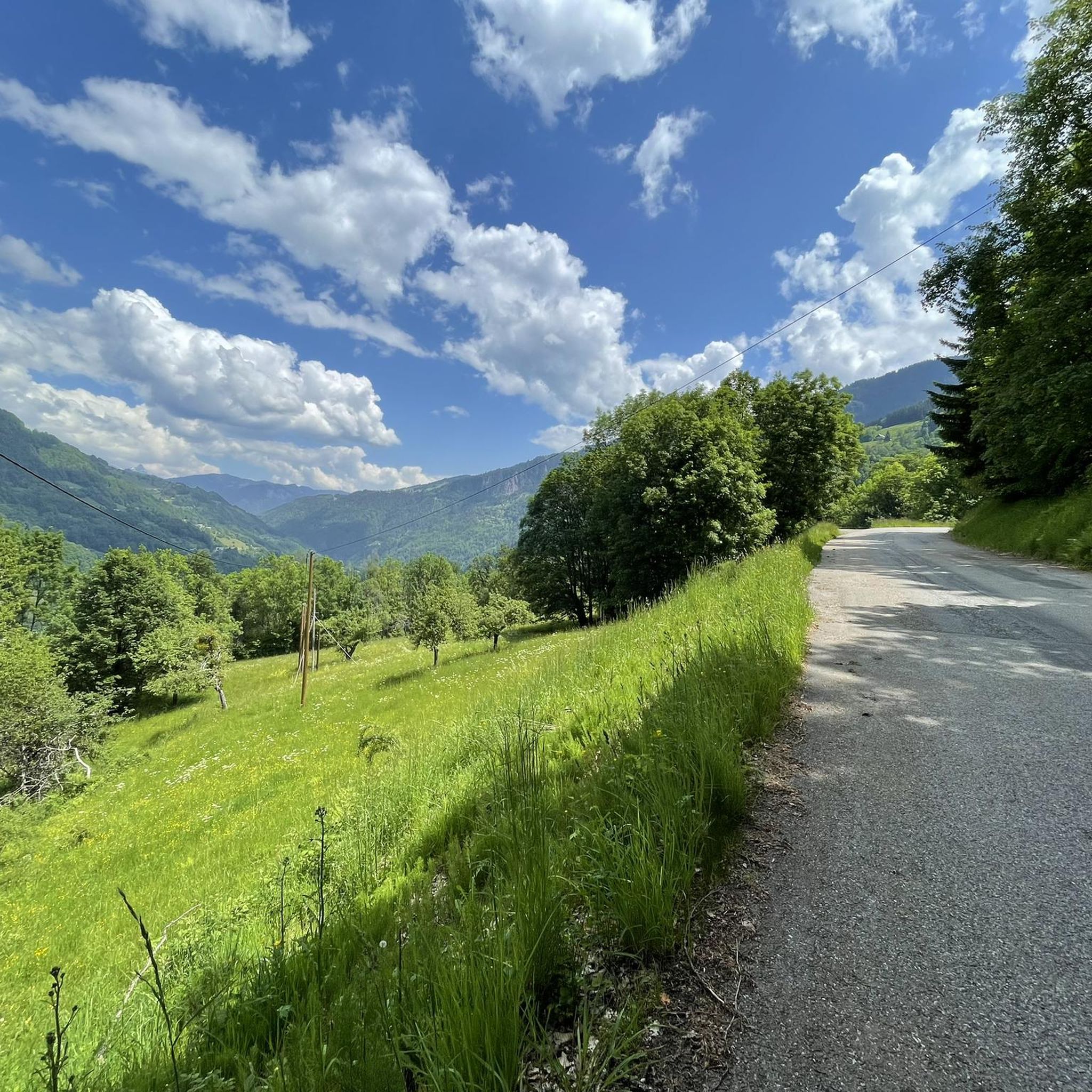
Hiking around Marthod offers access to a diverse alpine environment within the Savoie department of France. The region is characterized by mountain passes, peaks, and extensive forests, providing varied terrain for outdoor exploration. Hikers can discover trails winding through alpine meadows and offering views of the surrounding mountain scenery. This area provides a range of natural features, from gentle slopes to more challenging ascents.
Best hiking trails around Marthod
- The most popular hiking route is Too good loop from Venthon…
Last updated: October 1, 2026
4.2
(5)
108
hikers
Hard hike. Good fitness required. Sure-footedness, sturdy shoes and alpine experience required.
4.8
(6)
28
hikers
8.60km
02:59
490m
490m
Moderate hike. Good fitness required. Easily-accessible paths. Suitable for all skill levels.

4.0
(1)
20
hikers
6.92km
02:52
530m
530m
Moderate hike. Good fitness required. Mostly accessible paths. Sure-footedness required.
16
hikers
9.81km
03:34
500m
500m
Moderate hike. Good fitness required. Mostly accessible paths. Sure-footedness required.
9
hikers
5.78km
02:26
370m
370m
Moderate hike. Good fitness required. Mostly accessible paths. Sure-footedness required.
Get access to more routes and recommendations from other explorers.
Already have an account?
Our route recommendations are based on thousands of hikes, rides, and runs completed by other people on komoot.
Start today with a free account
Your next adventure awaits.


Tips from the Community

If you start this hike around 4 PM, you can walk in the shade. You will walk into the evening and be back at the starting point before dark. 08-2026
0
0

Nice bike path, old railway bridge.
5
0

Breathtaking view of the MT Blanc and the Charvin
0
0

An incredible view! Relatively aerial trail with a few wired passages. But this ridge is worth the detour! Be careful though, you will necessarily want to follow it to the Belle Étoile
0
0

Superb summit above Faverges. Be careful, the path may seem aerial to people sensitive to emptiness
0
0

Nice hike. A little technical all the same on some passages for beginners or children who are too young.
1
0
Frequently Asked Questions
How many hiking trails are available around Marthod?
There are over 270 hiking routes around Marthod, offering a diverse range of options for all skill levels. This includes nearly 80 easy trails, over 140 moderate routes, and close to 50 more challenging hikes.
What kind of terrain can I expect on hikes near Marthod?
The region around Marthod features a stunning alpine environment with diverse terrain. You'll find trails winding through extensive forests and alpine meadows, leading to mountain passes and peaks that offer panoramic views. The landscape varies from gentle slopes to more challenging ascents.
Are there easy hiking options suitable for beginners or families in Marthod?
Yes, Marthod offers numerous easy hiking options perfect for beginners or families. For instance, the Lime Kilns Walk – View of the Vagère loop from Cons-Sainte-Colombe is an easy 5.1 km path with gentle elevation changes, providing an accessible way to enjoy the scenery.
What are the best times of year to go hiking in Marthod?
Marthod is excellent for hiking during spring, summer, and autumn. These seasons offer pleasant weather for exploring the alpine meadows and forests. While some trails might be accessible in winter, many mountain passes and higher-elevation routes may be covered in snow, requiring specific gear and experience.
What natural landmarks or viewpoints can I discover on hikes around Marthod?
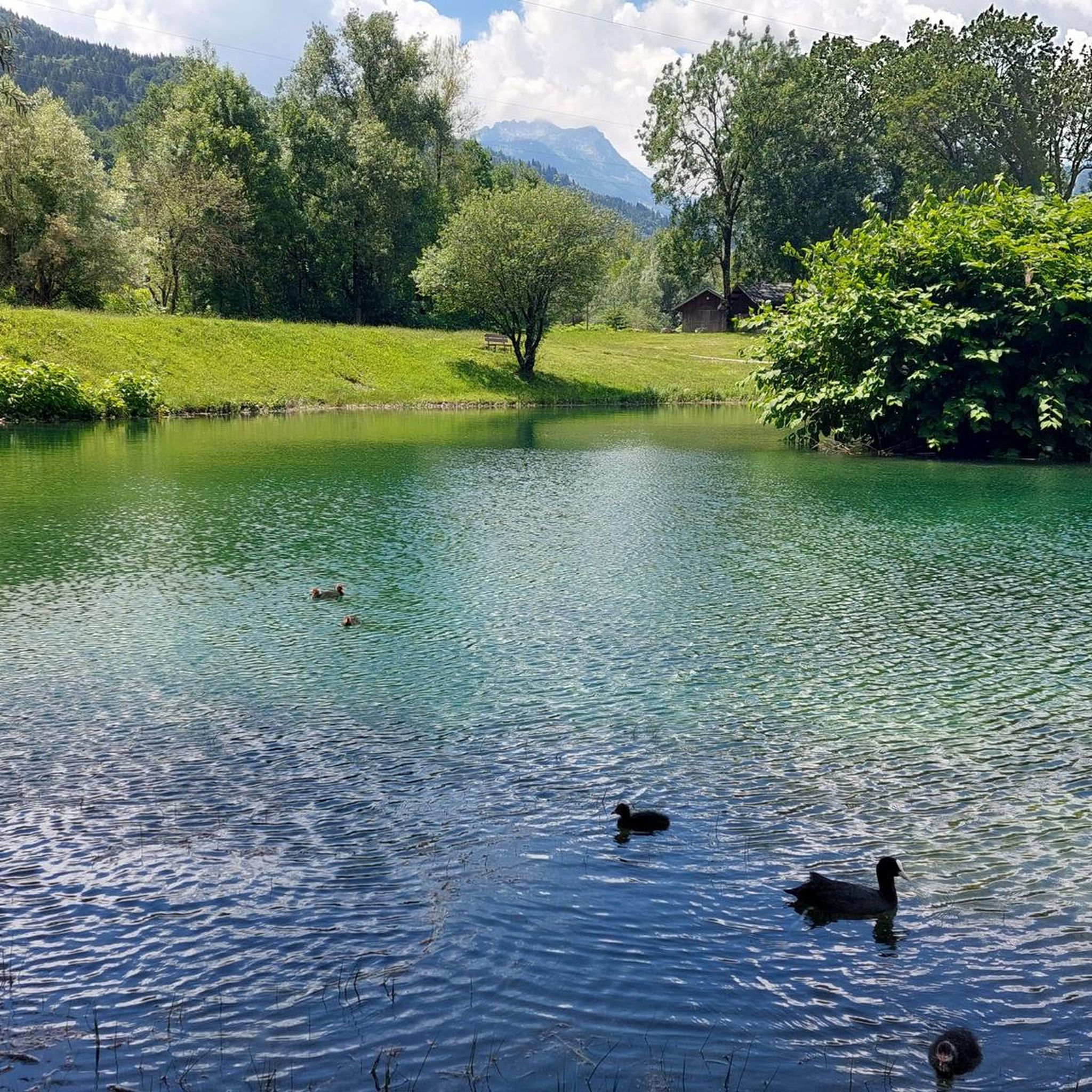
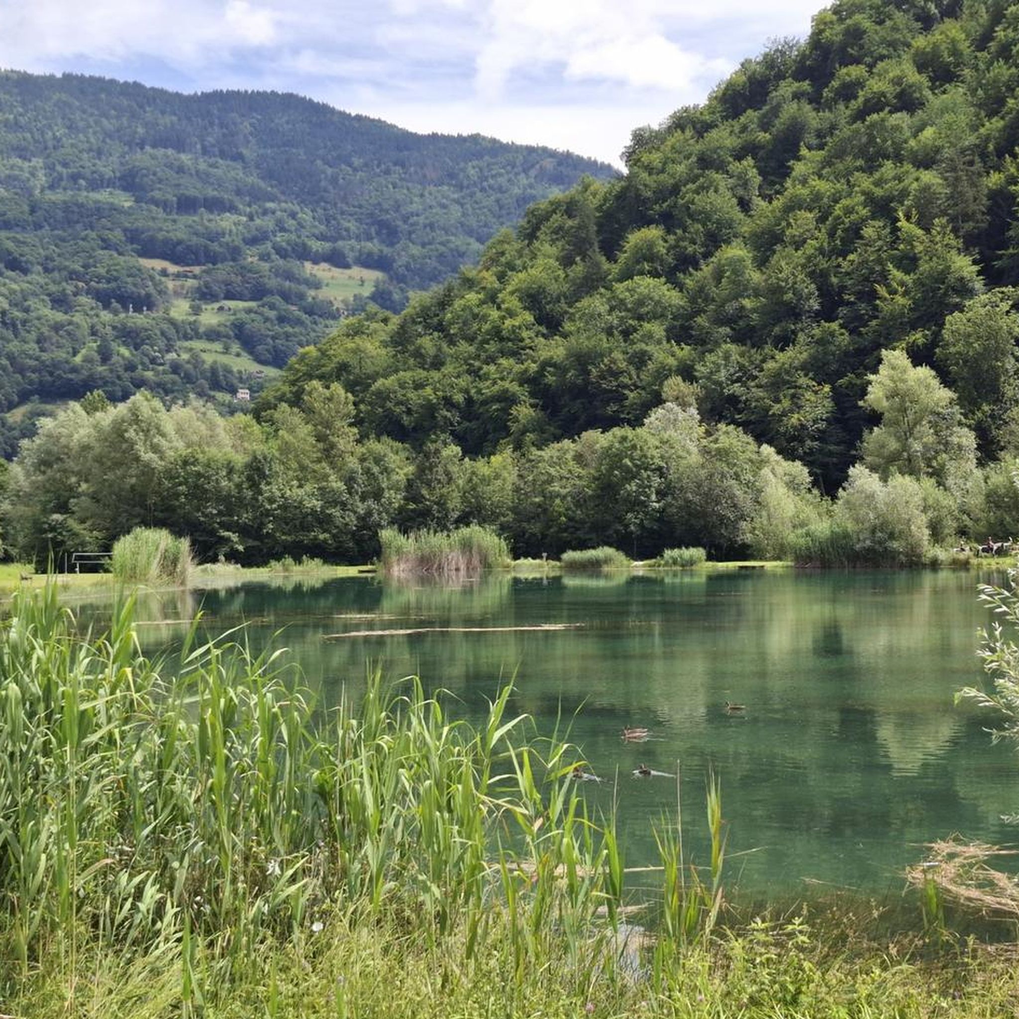
The Marthod area is rich in natural landmarks and offers spectacular viewpoints. You can find trails leading to impressive peaks like La Belle-Étoile, which provides a 360° vista of the Bauges massif and Mont Blanc. Other notable spots include Mount Sulens and the Dent of Cons. The region also boasts picturesque lakes such as Parc des Berges Lake.
Are there any circular hiking routes near Marthod?
Yes, many of the trails around Marthod are circular, allowing you to start and end at the same point. A popular moderate option is the Alpettaz Pass loop from Marthod, which covers nearly 9.5 km with significant elevation gain, offering a rewarding experience.
What do other hikers enjoy most about the trails in Marthod?
The trails around Marthod are highly rated by the komoot community, with an average score of 4.5 stars from over 1,200 reviews. Hikers often praise the diverse alpine environment, the stunning panoramic views of peaks like Mont Blanc, and the variety of well-maintained paths suitable for different abilities.
Are there any moderate hikes that offer good views?
For a moderate challenge with excellent views, consider the Alpettaz Pass – Table of Alpine peaks loop from Marthod. This 6.9 km route involves a good ascent and descent, leading to rewarding vistas of the surrounding alpine peaks.
Can I find trails that lead to lakes or water features?
While Marthod itself is not directly on a large lake, the broader Savoie region offers access to beautiful aquatic features. You can find trails that lead to smaller lakes like Mont Charvin Lake, providing serene spots for a break amidst your hike.
Are there options for longer, more challenging hikes in the area?
Yes, for those seeking a greater challenge, Marthod and its surroundings offer more difficult routes. These trails often involve significant elevation gain and cover longer distances, providing a more strenuous but rewarding alpine experience. The region's mountain passes and peaks are ideal for such adventures.
Is there public transport available to reach trailheads around Marthod?
While specific public transport details for every trailhead in Marthod may vary, the region is generally accessible. For detailed information on local bus services or other transport options to specific starting points, it's advisable to consult local tourism resources like Coeur de Tarentaise Tourisme.
Are there any trails that are particularly popular with local hikers?
Local hikers frequently enjoy the Too good loop from Venthon. This 5.2 km trail is a popular choice, offering an accessible path through the local landscape and taking approximately 1 hour 48 minutes to complete.
Most popular routes around Marthod
Most popular attractions around Marthod

Get inspired with the komoot mobile app


Explore more
Browse the best Hikes in other regions.
