Top 20 Mountain Passes around Bourg-Saint-Maurice
Best mountain passes around Bourg-Saint-Maurice are found in the Tarentaise Valley, a region in the French Alps. This area provides access to various mountain passes, many of which are known for their challenging routes and scenic landscapes. The passes serve as connections between valleys and regions, offering diverse terrain for outdoor activities.
Best mountain passes around Bourg-Saint-Maurice
- The most popular mountain passes is Tricot Pass, a mountain pass located on the Tour du Mont Blanc. It offers views of the Dôme de Miage and Mont Blanc.
- Another must-see spot is Col de la Seigne, an alpine pass at 2,516 meters above sea level. This pass marks the border between Italy and France, with a descent towards Les Chapieux.
- Visitors also love Col du Bonhomme, a mountain pass at 2,329 meters above sea level. It links the Val Montjoie to the Beaufortain region.
- Bourg-Saint-Maurice is known for alpine passes, routes on the Tour du Mont Blanc, and passes marking borders. These include high-altitude routes and those offering views of major massifs.
- The mountain passes around Bourg-Saint-Maurice are appreciated by the komoot community, with 209 upvotes and 61 photos shared.
Last updated: September 29, 2026
Cormet de Roselend
Highlight • Mountain Pass
Translated by Google •
Tip by

Tricot Pass
Highlight • Mountain Pass
Translated by Google •
Tip by

Sign up now to discover places like this
Get recommendations on the best single tracks, peaks, & plenty of other exciting outdoor places.
Col de la Seigne
Highlight • Mountain Pass
Showing Translation
Tip by

Col du Bonhomme
Highlight • Mountain Pass
Translated by Google •
Tip by

Col du Méraillet
Highlight • Mountain Pass
Translated by Google •
Tip by

Sign up for free to discover even more mountain passes around Bourg-Saint-Maurice.
Already have an account?
Start today with a free account
Your next adventure awaits.
Popular around Bourg-Saint-Maurice
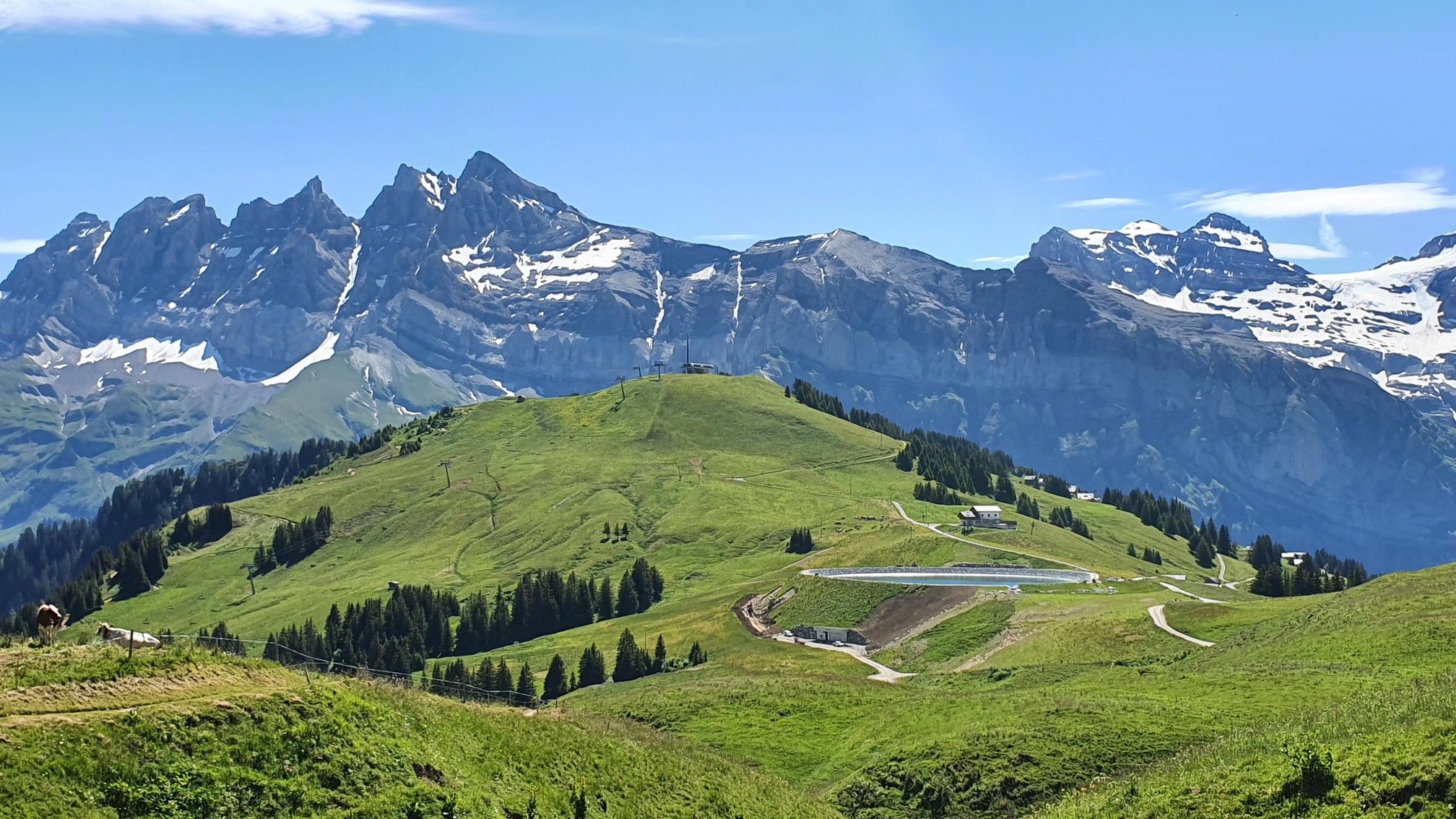
Europe Trail (GR 5) – Hike from Landry to Thonon-les-Bains
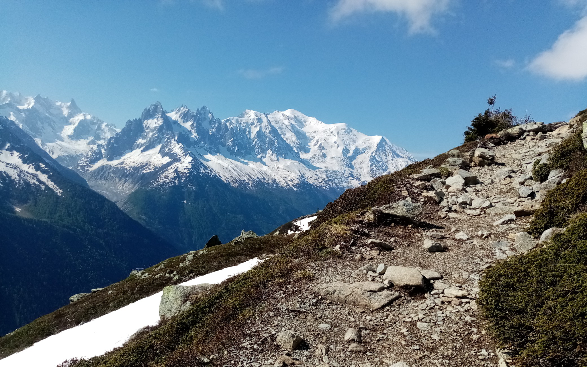
Ultra-Trail du Mont-Blanc – following the footsteps of legends
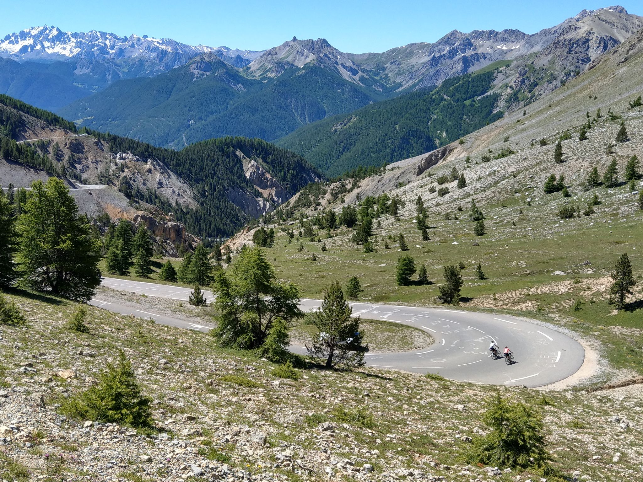
Route des Grandes Alpes – in 6 days from Evian to Nice
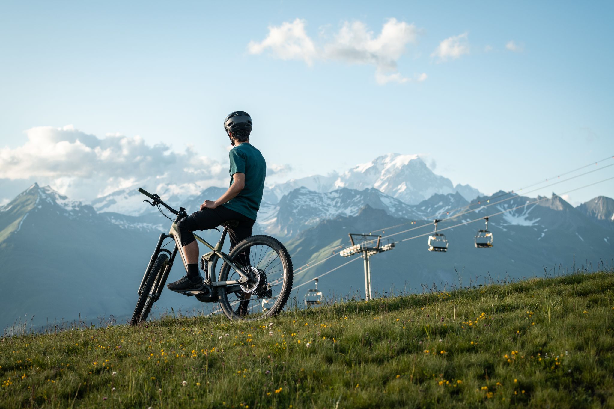
MTB routes around Bourg Saint Maurice – Les Arcs

Route des Grandes Alpes
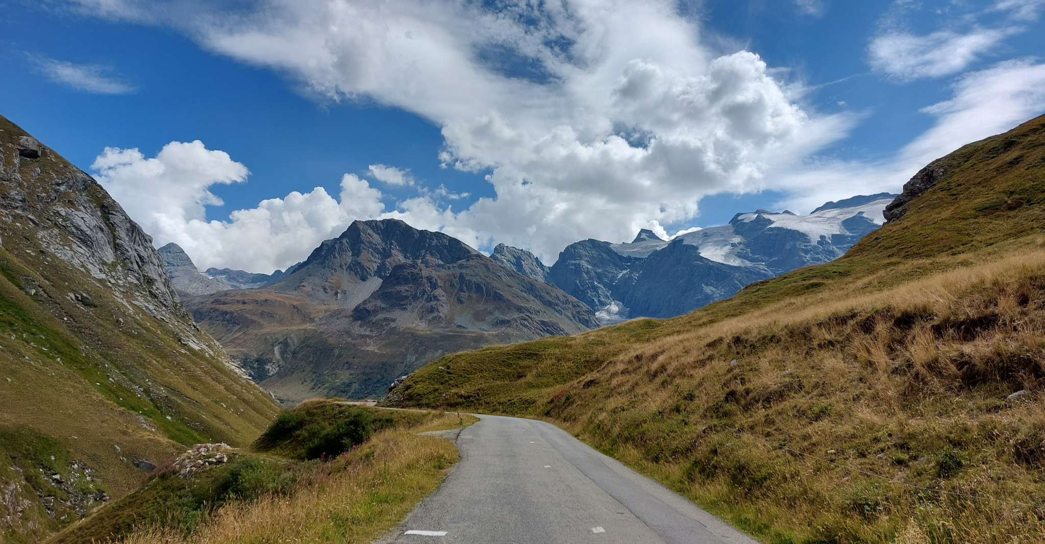
Briançon to Aosta – travelling across the Alps (part 2)
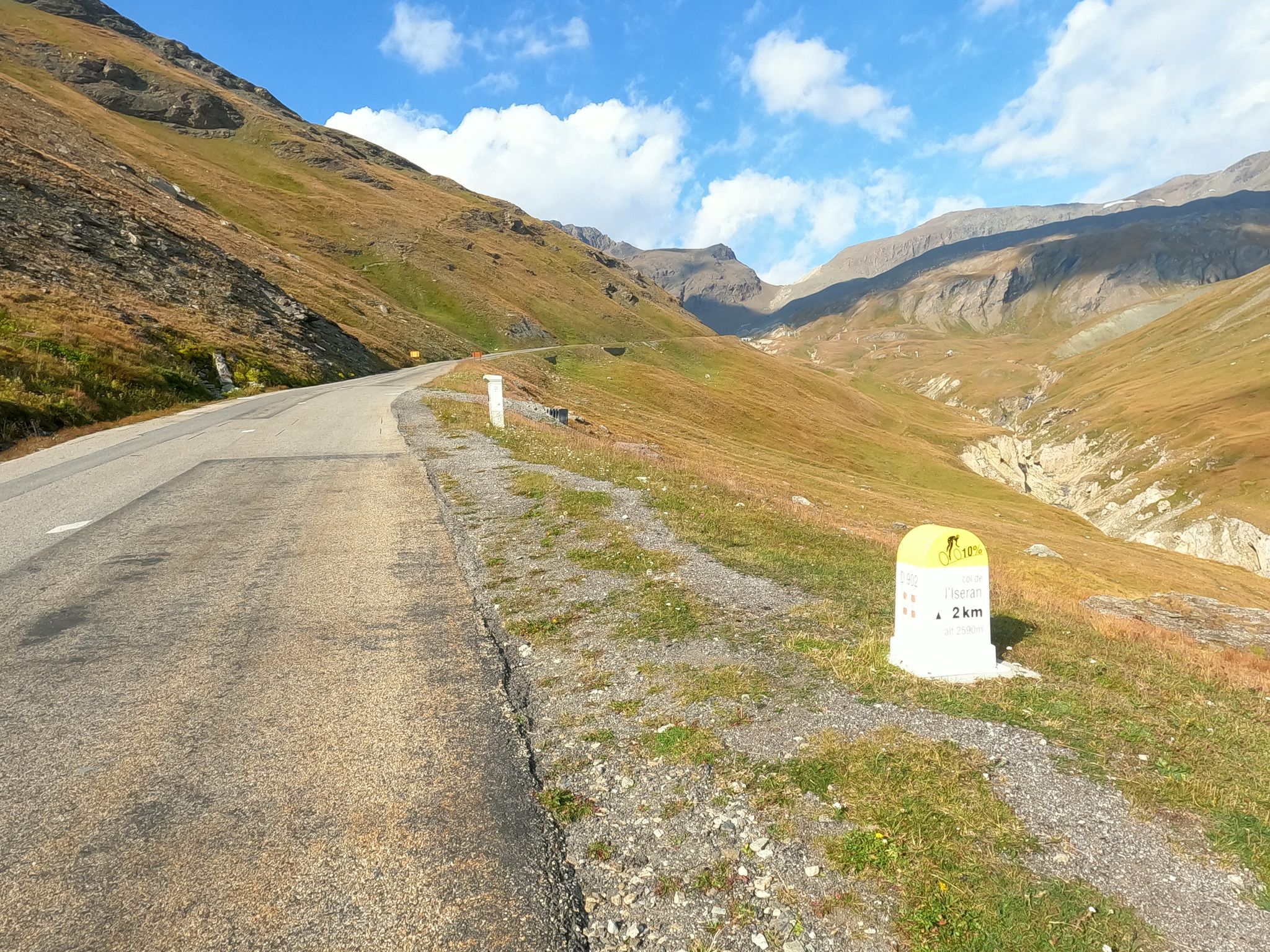
Escape to the Alps – Chiappucci's feat at the 1992 Tour de France
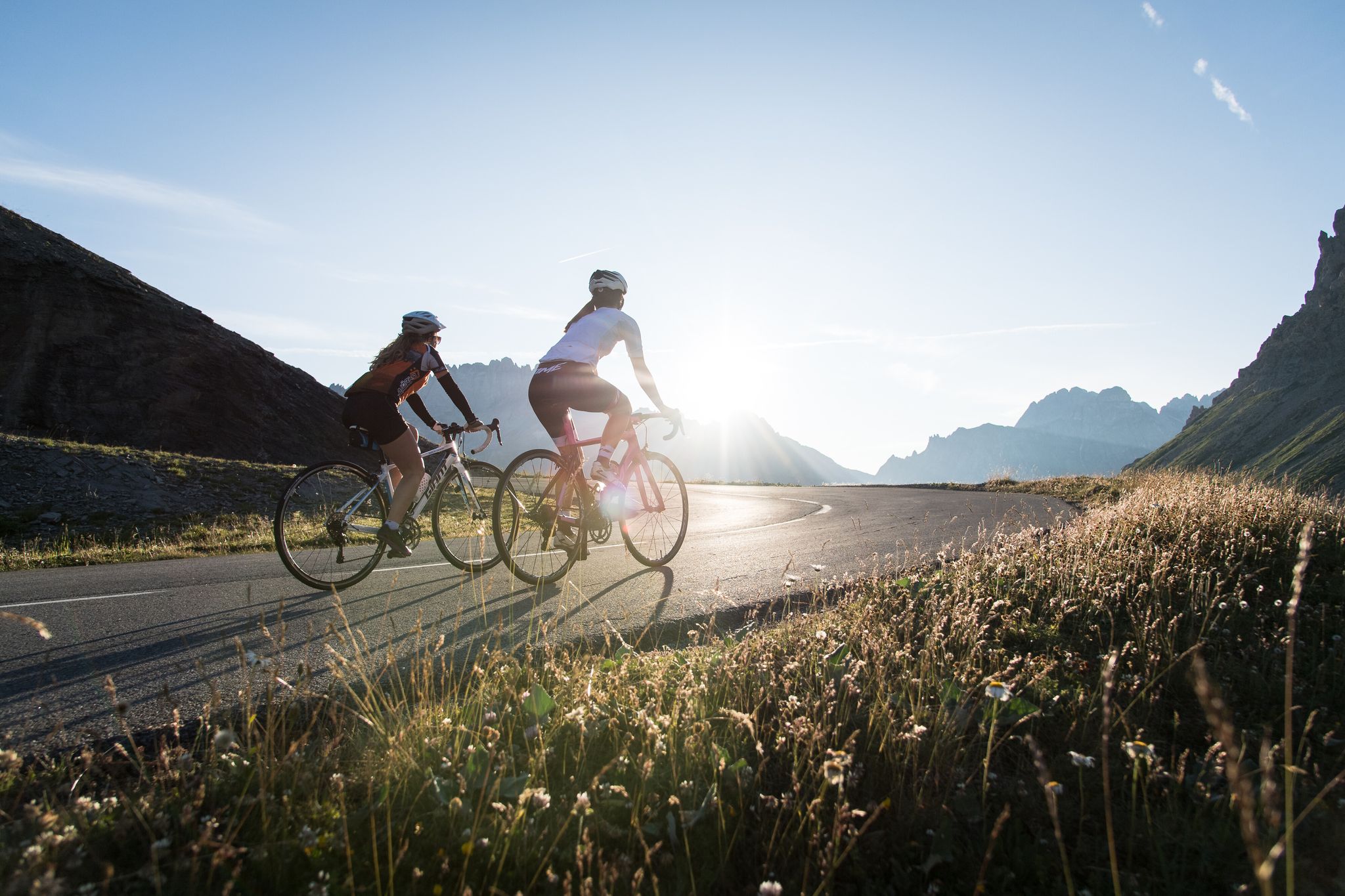
Cycling in Savoie Mont Blanc – discover routes between lakes and mountains
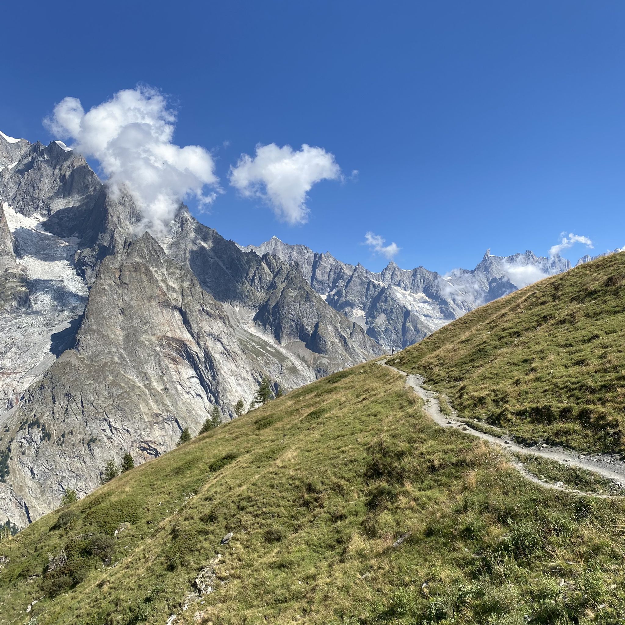
Between the glaciers of the King of the Alps – Mont Blanc MTB Tour

Hike from Savoie to Vanoise – Hexatrek in France’s Northern Alps
Other adventures around Bourg-Saint-Maurice


Tips from the Community

Fork: descent to Arêches via the Col du Pré, towards Beaufort with a better road for the descent, and towards the Cormet de Roselend to the east.
0
0

The Cormet de Roselend is a spectacular hill located in Savoie, France. The hill is located at an altitude of 1,968 meters and connects the municipalities of Beaufort and Bourg-Saint-Maurice. On the Beaufort side it is possible to admire a splendid lake created following the construction of a dam.
1
0

The Col de Tricot on the Tour du Mont Blanc (TMB) is a mountain pass that enchants with its alpine grandeur. As you ascend to the col, the landscape unfolds in a spectacle of pristine beauty. Towering peaks, snow-capped summits, and meadows adorned with wildflowers surround the trail. Reaching the Col de Tricot is a rewarding challenge, and as you stand at this high mountain pass, you're greeted by breathtaking panoramic views. The air is crisp, and the silence is profound, interrupted only by the occasional rustle of the wind. The col provides a perfect vantage point to appreciate the rugged beauty of the Mont Blanc Massif. Hikers often pause at the Col de Tricot, not only to catch their breath but to soak in the serene ambiance and to capture the majestic scenery in photographs.
0
0
"La Porte du Bonheur" on the Tour du Mont Blanc is a captivating name that translates to "The Door of Happiness." This enchanting spot along the trail is more than a geographical point; it's a symbolic threshold to the joy and beauty that the Mont Blanc region unfolds. As trekkers traverse the Tour du Mont Blanc, they encounter "La Porte du Bonheur," an arch or a scenic vantage point that frames the breathtaking landscapes.
0
1

Easily reachable by pushing from Les Chapieux, from the other side it's only possible to go up through a steep scree and rock group with acrobatics and climbing, partly dangerous
2
0
From Rifugio Elisabetta strenuous and steep from Courmayeur, but one of the most beautiful passes of my life. The descent to Les Chapieux is uncomplicated to manage via non-blocked singletracks.
4
0

A point on the "Route des Grand Alps"
0
0

The Col du Bonhomme is located in the south-east of Haute-Savoie and entirely within the municipal territory of Contamines-Montjoie, the administrative limit with Beaufort passes on the side of the pass, about one kilometer further south than the line peak1. It constitutes a relatively easy natural passage between the Bonhomme rock and the Pennaz needles, thus making it possible to communicate the Montjoie valley to the north with the Beaufortain to the southwest1: the two sections of the old national road 202 interrupted between the Chapieux to the south and Notre-Dame-de-la-Gorge to the north were to be connected via the Col du Bonhomme before the project was abandoned. The Col du Bonhomme is known for its singular Sandstones, a predominantly siliciclastic sedimentary system discovered by de Saussure in 17792, and whose origin is enigmatic3.
1
0
Frequently Asked Questions
What are some of the most challenging mountain passes around Bourg-Saint-Maurice?
For experienced adventurers, the region offers several challenging passes. The Col de l'Iseran, at 2,770 meters, is the highest paved road in the Alps and features a 48km gradual climb from Bourg-Saint-Maurice. The Col de la Seigne is a beautiful alpine pass at 2,516 meters, known for its significant elevation. Additionally, the Col du Bonhomme, at 2,329 meters, is described as having a pretty steep climb.
Which mountain passes offer the best panoramic views?
Many passes in the area boast stunning vistas. The Col de l'Iseran provides breathtaking views at every turn. The Tricot Pass offers magnificent views of the Dôme de Miage and Mont Blanc. From the Col du Joly, you can enjoy a beautiful 360° view of the Mont-Blanc massif and the high peaks of Beaufortain. The Cormet de Roselend is known for its picturesque landscapes, including the Lac de Roselend.
Are there mountain passes with historical significance in the region?
Yes, the Col du Petit Saint-Bernard holds historical importance. It connects the La Thuile valley with the Isère valley and Bourg-Saint-Maurice, marking the border between France and Italy. This pass was historically used by troops and trading merchants, making it a significant route through the Alps.
What kind of natural scenery can I expect to see at these passes?
The mountain passes around Bourg-Saint-Maurice are set amidst dramatic and rugged alpine landscapes. You can expect to see high-mountain scenery, including views of major massifs like Mont Blanc and the Dôme de Miage. Features like the large turquoise Lac de Roselend near Cormet de Roselend, and traditional chalets of the Beaufortain region, add to the scenic beauty.
Can I go cycling on the mountain passes around Bourg-Saint-Maurice?
Absolutely. The region is a popular destination for cyclists. The Col de l'Iseran is famous for its long, winding roads, while the Col du Petit Saint-Bernard offers a challenging route for mountain biking. You can find various cycling routes, including road cycling and gravel biking, in the area. For more details, explore the Road Cycling Routes around Bourg-Saint-Maurice and Gravel biking around Bourg-Saint-Maurice guides.
What hiking opportunities are available near these mountain passes?
Many passes are integral to renowned hiking trails. The Tricot Pass and Col de la Seigne are significant points on the Tour du Mont Blanc hiking route. The Col de la Croix du Bonhomme is also a magnificent passage of the TMB. You can find more hiking options in the Mountain Passes around Bourg-Saint-Maurice guide.
Are there any mountain passes that mark a border between countries?
Yes, several passes in the region serve as international borders. The Col de la Seigne marks the border between Italy and France. Similarly, the Col du Petit Saint-Bernard connects France and Italy. The Col de l'Ouillon also runs along the Italian border, offering rewarding walks.
What is the best time of year to visit the mountain passes around Bourg-Saint-Maurice?
The mountain passes are generally best visited during the warmer months, typically from late spring to early autumn (June to September), when the roads are clear of snow and hiking trails are accessible. This period offers the most favorable weather conditions for outdoor activities and enjoying the panoramic views.
Are there any passes with facilities like refuges or cafes?
Yes, the Col de la Croix du Bonhomme Refuge is a notable facility located at over 2,400 meters. It offers accommodation, drinking water, and toilets, making it a convenient stop for hikers on the Tour du Mont Blanc. It's advisable to make reservations in advance, especially during peak times.
What do visitors enjoy most about the mountain passes in this region?
Visitors frequently praise the stunning views and the sense of accomplishment from traversing these challenging routes. The dramatic landscapes, the opportunity to see iconic peaks like Mont Blanc, and the rich history of passes like the Col du Petit Saint-Bernard are often highlighted. The area is also appreciated for its diverse terrain suitable for various outdoor activities.
Are there mountain biking trails near these passes?
Yes, the region is excellent for mountain biking. The Col du Petit Saint-Bernard offers a challenging route, and the area around the Col de la Croix du Bonhomme is also great for mountain biking. You can find various MTB trails in the area, including difficult routes like the 'Tour des Arcs'. For more options, check out the MTB Trails around Bourg-Saint-Maurice guide.
Are there any passes that are part of the famous Tour du Mont Blanc route?
Yes, several passes in this region are significant points on the renowned Tour du Mont Blanc (TMB) hiking route. These include the Tricot Pass, the Col de la Seigne, and the Col de la Croix du Bonhomme. These passes offer spectacular high-mountain scenery and are key sections for those undertaking the TMB.
Most popular routes around Bourg-Saint-Maurice
Most popular attractions around Bourg-Saint-Maurice

Get inspired with the komoot mobile app


Explore more
See even more epic mountain passes by checking out these guides around Bourg-Saint-Maurice:
