The best running trails around Saint-Avre
4.5
(25)
1,777
runners
15
runs
Jogging around Saint-Avre offers a diverse landscape for outdoor enthusiasts in the Savoie department. The region is characterized by its alpine surroundings, local forests, and panoramic mountain views, providing varied terrain for different activity levels. Elevations range from 443 meters to 1229 meters, including options for both gentler runs and more strenuous climbs. The area also features the Arc river and is known for its iconic mountain passes, making it a compelling destination for running.
Best jogging routes around Saint-Avre
…Last updated: October 4, 2026
4.0
(1)
29
runners
12.1km
01:18
140m
140m
Moderate run. Good fitness required. Mostly paved surfaces. Suitable for all skill levels.
27
runners
11.2km
01:21
260m
260m
Moderate run. Good fitness required. Mostly paved surfaces. Suitable for all skill levels.

9
runners
16.2km
02:33
900m
900m
Hard run. Very good fitness required. Sure-footedness, sturdy shoes and alpine experience required.
19
runners
5.57km
00:40
120m
120m
Moderate run. Good fitness required. Mostly paved surfaces. Suitable for all skill levels.
4.7
(9)
5
runners
4.35km
00:28
30m
30m
Easy run. Great for any fitness level. Mostly paved surfaces. Suitable for all skill levels.
Get access to more routes and recommendations from other explorers.
Already have an account?
Our route recommendations are based on thousands of hikes, rides, and runs completed by other people on komoot.
Start today with a free account
Your next adventure awaits.
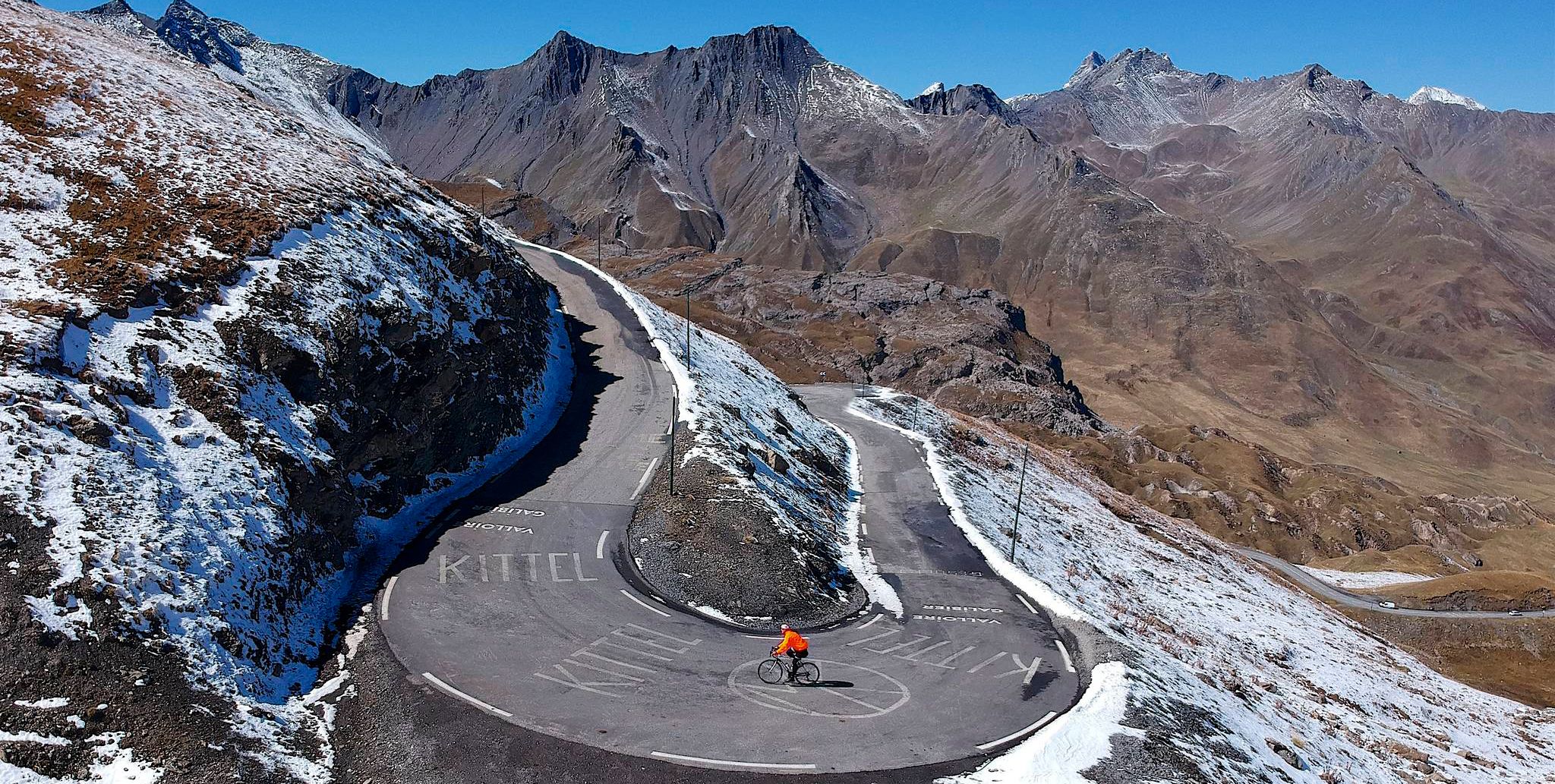
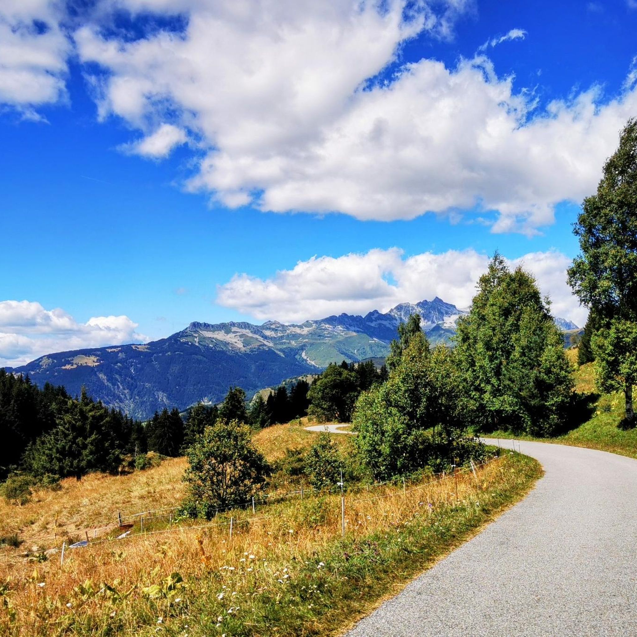
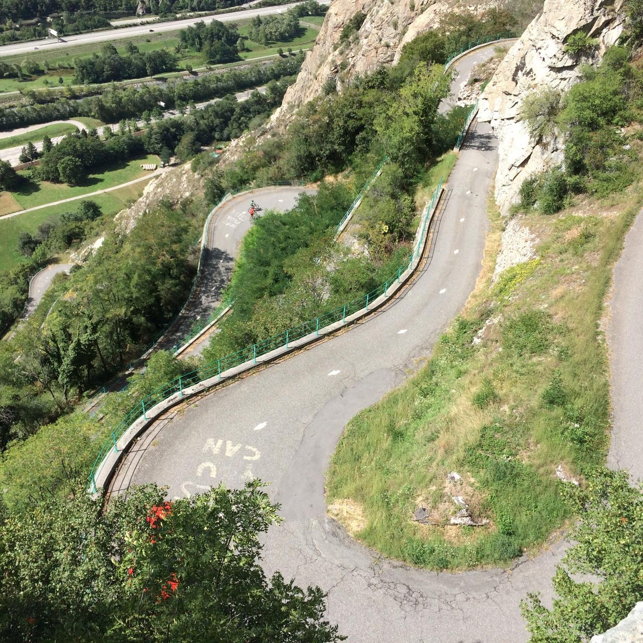
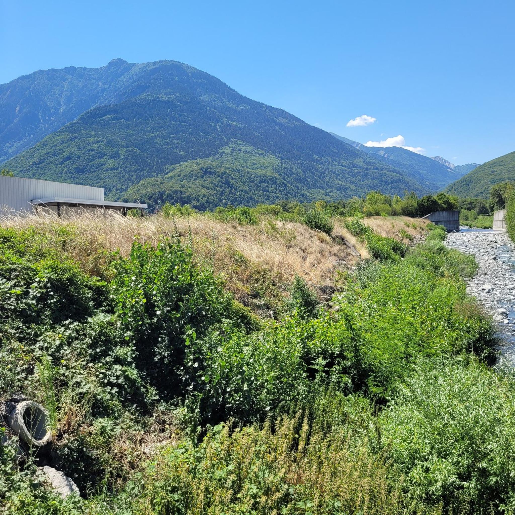

Other adventures around Saint-Avre

Tips from the Community

Beautiful church and small water spot.
2
0

As of May/2026, the quieter side ascent to Madeleine is buried by a scree avalanche in the last third.
0
0

This route offers a beautiful climb to the Col de la Madeleine with magnificent panoramas.
0
0

Every cemetery has water... Drinkable or not 😂
0
0

Water in the cemetery.
0
0

Small pump track good for children
1
0

A really useful watering hole which has saved me a few times. There aren't many places to refuel on the climb to the Col du Glandon and this is one of the last stops before starting the climb. On the other hand, it is also useful if you go down to the valley.
1
0
Frequently Asked Questions
How many running routes are available around Saint-Avre?
Saint-Avre offers a wide variety of running routes, with over 120 different trails to explore. These range from easy paths to more challenging mountain ascents, catering to all fitness levels.
What kind of terrain can I expect on jogging routes in Saint-Avre?
The terrain around Saint-Avre is diverse, featuring alpine surroundings, local forests, and panoramic mountain views. You'll find paths with elevations ranging from 443 meters to 1229 meters, offering both gentler runs and more strenuous climbs. The area also lies on the right bank of the Arc river, contributing to varied landscapes.
Are there any easy running routes suitable for beginners or families in Saint-Avre?
Yes, Saint-Avre has several easy running routes. For instance, the "Col de Chaussy – L'Armélaz loop from Montpascal" is an easier 4.8 km (3.0 miles) path suitable for all fitness levels. The region offers 4 easy routes in total, perfect for a relaxed run or a family outing.
What are some challenging running routes for experienced runners?
For experienced runners seeking a challenge, Saint-Avre offers routes with significant elevation gain. The region features 68 difficult routes. An example is the "La Chambre Pumptrack loop from Saint-Avre - La Chambre", a 9.0 miles (14.6 km) trail with substantial elevation changes, leading through local forests and offering views of the alpine landscape. Another challenging option is the "La Chambre Pumptrack – Lac de la Grande Léchère loop from La Chambre" which covers 17.7 km with over 1200m of elevation gain.
Can I find circular running routes in Saint-Avre?
Many of the running routes in Saint-Avre are circular, allowing you to start and finish at the same point. For example, the popular Running loop from Saint-Avre is a 3.9 miles (6.3 km) circular trail, and the Drinking Water at the Cemetery loop from Saint-Avre is a moderate 8.0 miles (13.0 km) circular path.
What interesting landmarks or viewpoints can I see along the running trails?
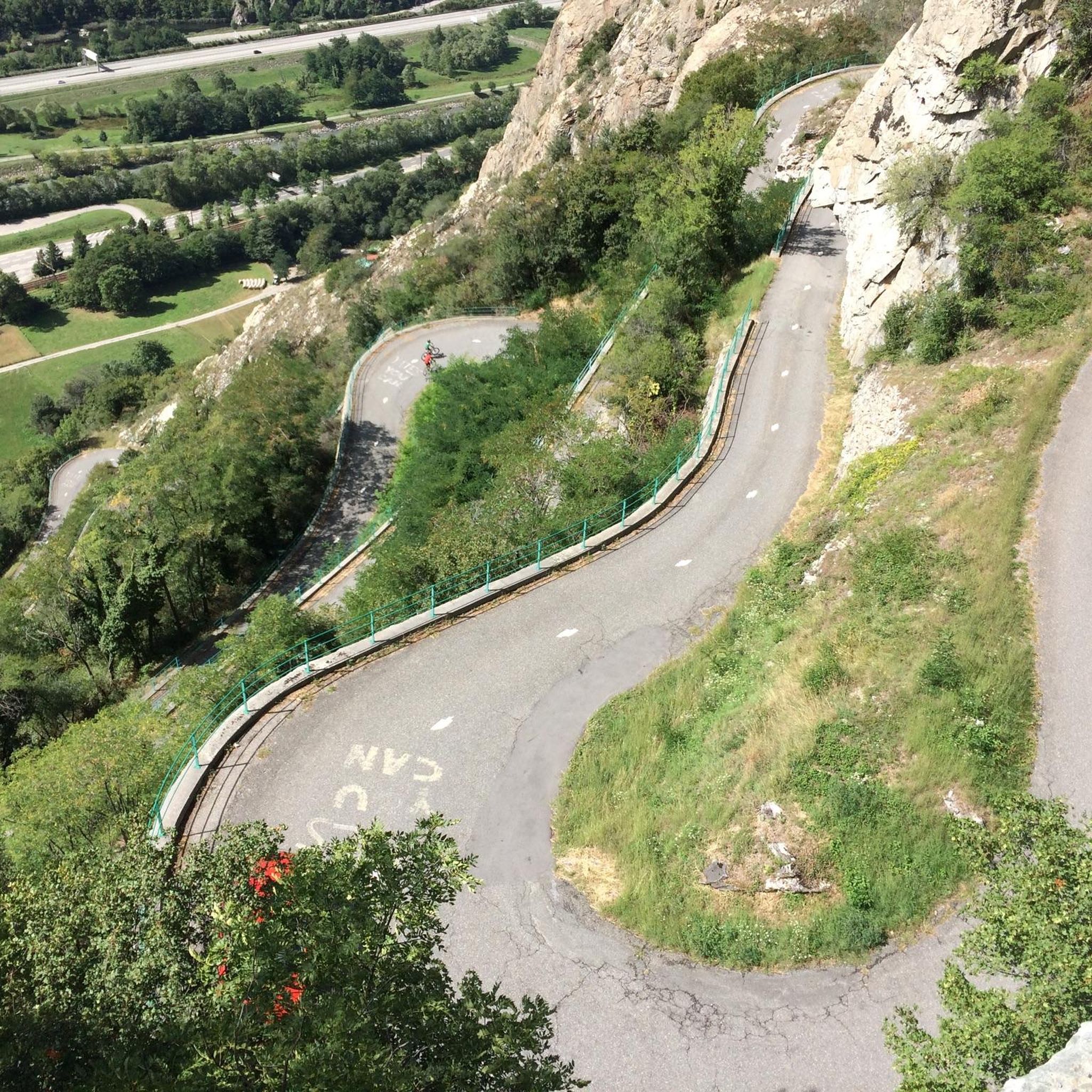
The running trails around Saint-Avre offer access to stunning natural and man-made landmarks. You can encounter iconic mountain passes like Col du Chaussy and Col de la Madeleine. The famous Montvernier Hairpins are also nearby, offering impressive views, including a great view over the Aiguilles d'Arves.
Are the running routes in Saint-Avre dog-friendly?
While many outdoor areas in the Savoie department are generally dog-friendly, specific leash regulations can vary by trail or protected area. It's always recommended to keep your dog on a leash, especially in areas with wildlife or near livestock, and to check local signage for any specific rules before you go.
What do other runners enjoy most about jogging in Saint-Avre?
The running routes in Saint-Avre are highly rated by the komoot community, with an average score of 4.7 stars from over 10 reviews. Runners often praise the diverse landscape, from local forests to panoramic mountain views, and the variety of terrain suitable for different activity levels.
Is there public transport available to reach trailheads in Saint-Avre?
Saint-Avre is a small commune in the Maurienne Valley. While local bus services might connect some villages, direct public transport to specific trailheads can be limited. It's advisable to check local transport schedules or consider driving to the starting points of your chosen routes.
Where can I find parking for running trails in Saint-Avre?
Parking is generally available in and around the villages that serve as starting points for many routes, such as Saint-Avre itself or nearby La Chambre. Look for designated parking areas in town centers or near popular trail access points. Always ensure you park responsibly and respect local regulations.
What is the best time of year for running in Saint-Avre?
Saint-Avre offers great running opportunities throughout much of the year. Spring and autumn provide pleasant temperatures and beautiful scenery. Summer is also excellent, especially for higher-altitude trails, though some lower routes might be warmer. In winter, some trails may be covered in snow, offering a different experience, but caution is advised on icy or slippery paths.
Are there any amenities like cafes or accommodation near the running routes?
Saint-Avre and nearby towns like La Chambre offer various amenities. You can find cafes, restaurants, and accommodation options in the village centers. For more detailed local information, you can visit the official tourism website for the area: tourisme-la-chambre.com.
Most popular routes around Saint-Avre
Most popular attractions around Saint-Avre

Get inspired with the komoot mobile app


Explore more
Browse the best Running Trails & Routes in other regions.
