Top 18 Mountain Passes around Jarrier
Mountain passes around Jarrier are located in the Savoie department of the Auvergne-Rhône-Alpes region, providing access to the Maurienne Valley. This mountain commune serves as a base for exploring various passes suitable for cycling, hiking, and scenic drives. The area features marked trails and offers views of the Aiguilles d'Arves.
Best mountain passes around Jarrier
- The most popular mountain passes is Col du Chaussy, a mountain pass that connects Pontamafrey with the south ramp of the Col de la…
Last updated: September 29, 2026
Col du Chaussy
Highlight • Mountain Pass
Translated by Google •
Tip by

Mollard Pass
Highlight • Mountain Pass
Translated by Google •
Tip by

Sign up now to discover places like this
Get recommendations on the best single tracks, peaks, & plenty of other exciting outdoor places.
Col de la Croix de Fer
Highlight • Mountain Pass
Translated by Google •
Tip by

Col du Glandon
Highlight • Mountain Pass
Translated by Google •
Tip by
Ascent of Col de la Madeleine from La Chambre
Highlight (Segment) • Climb
Translated by Google •
Tip by

Sign up for free to discover even more mountain passes around Jarrier.
Already have an account?
Start today with a free account
Your next adventure awaits.
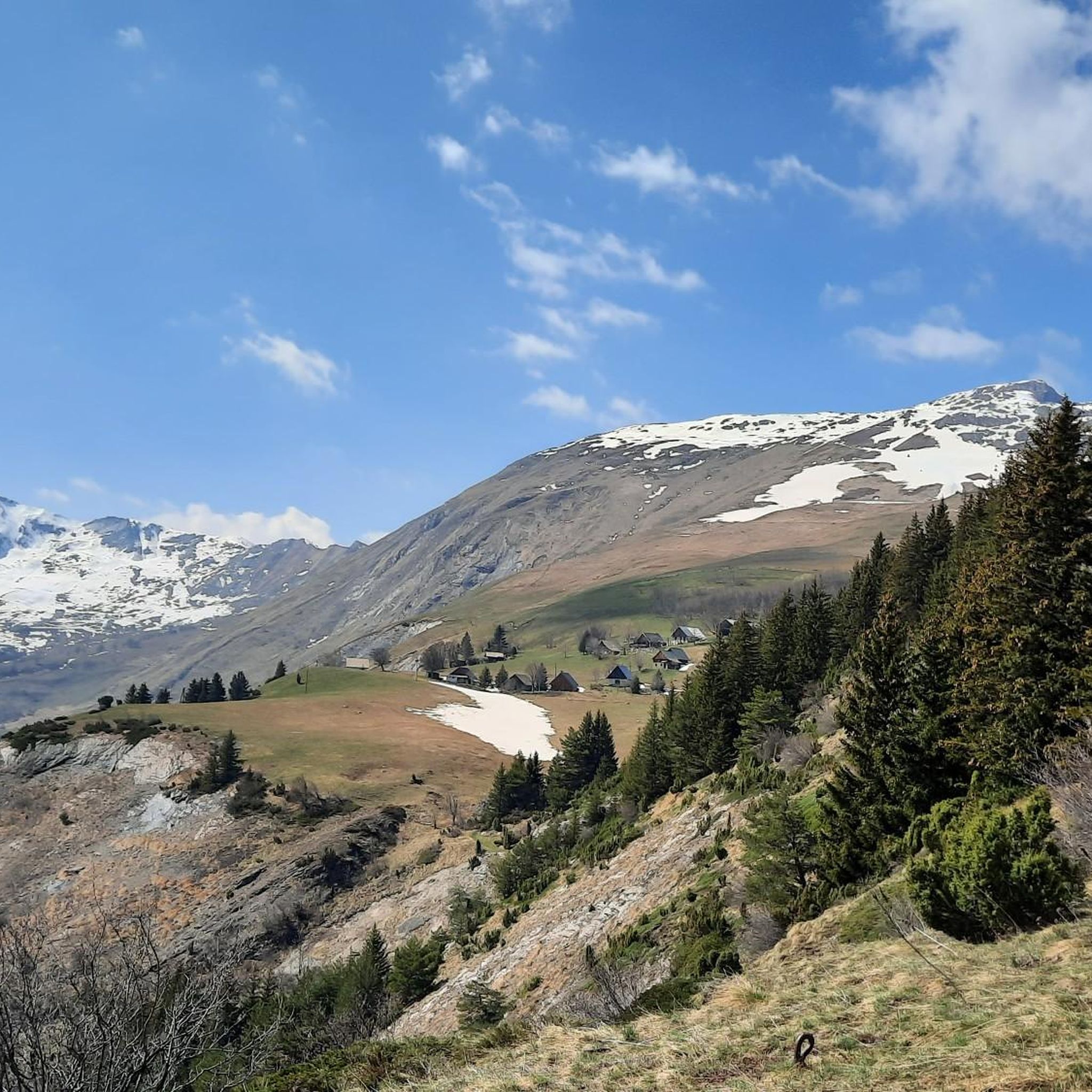
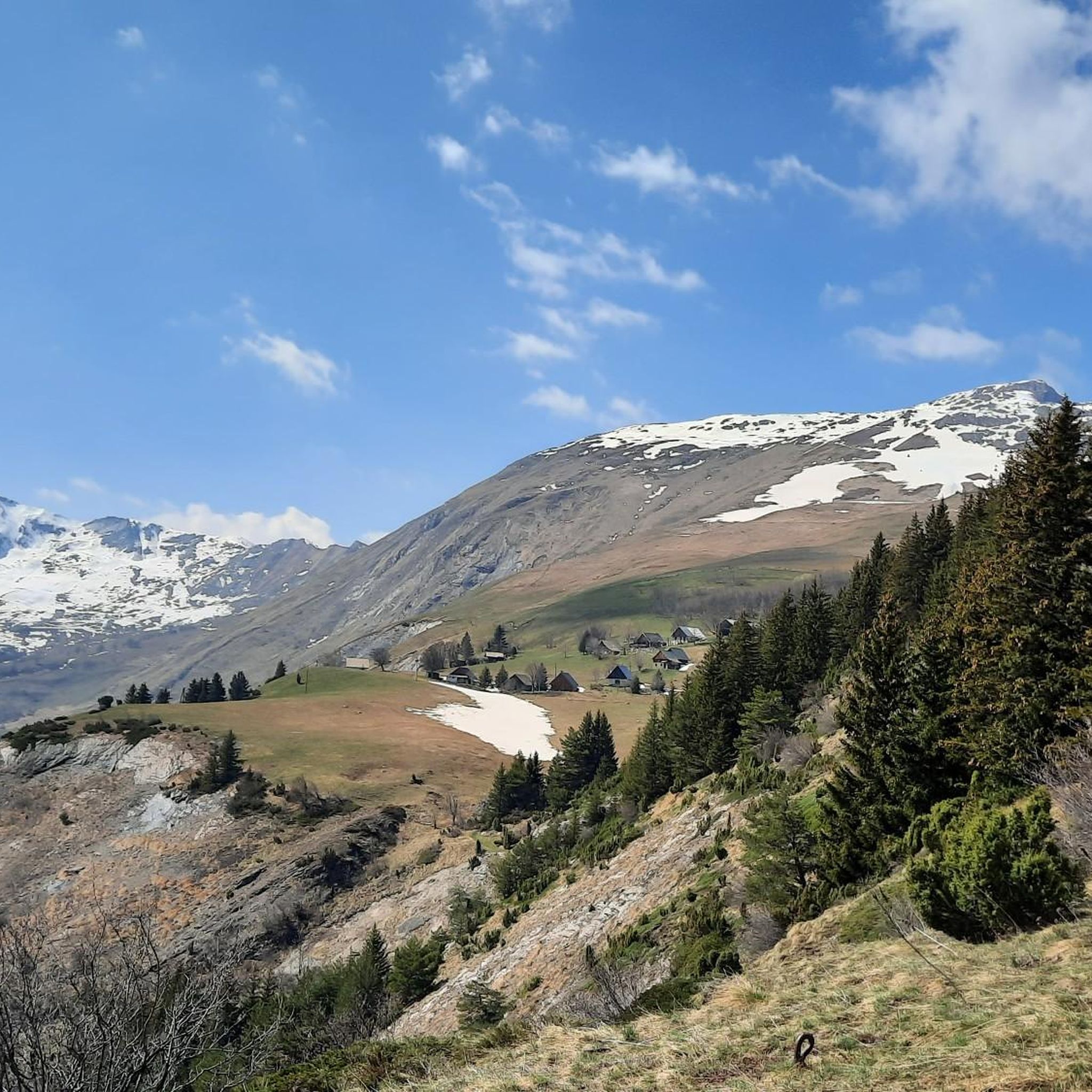
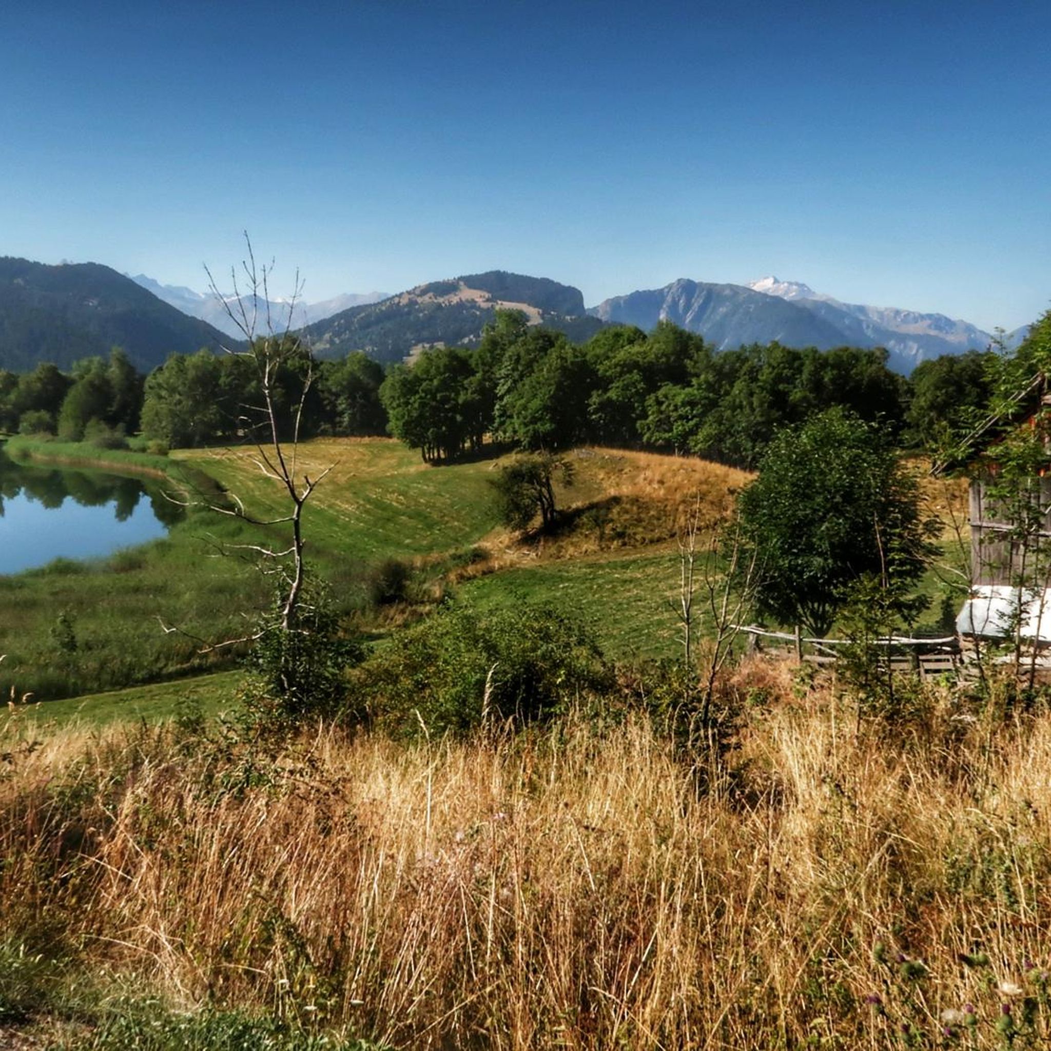
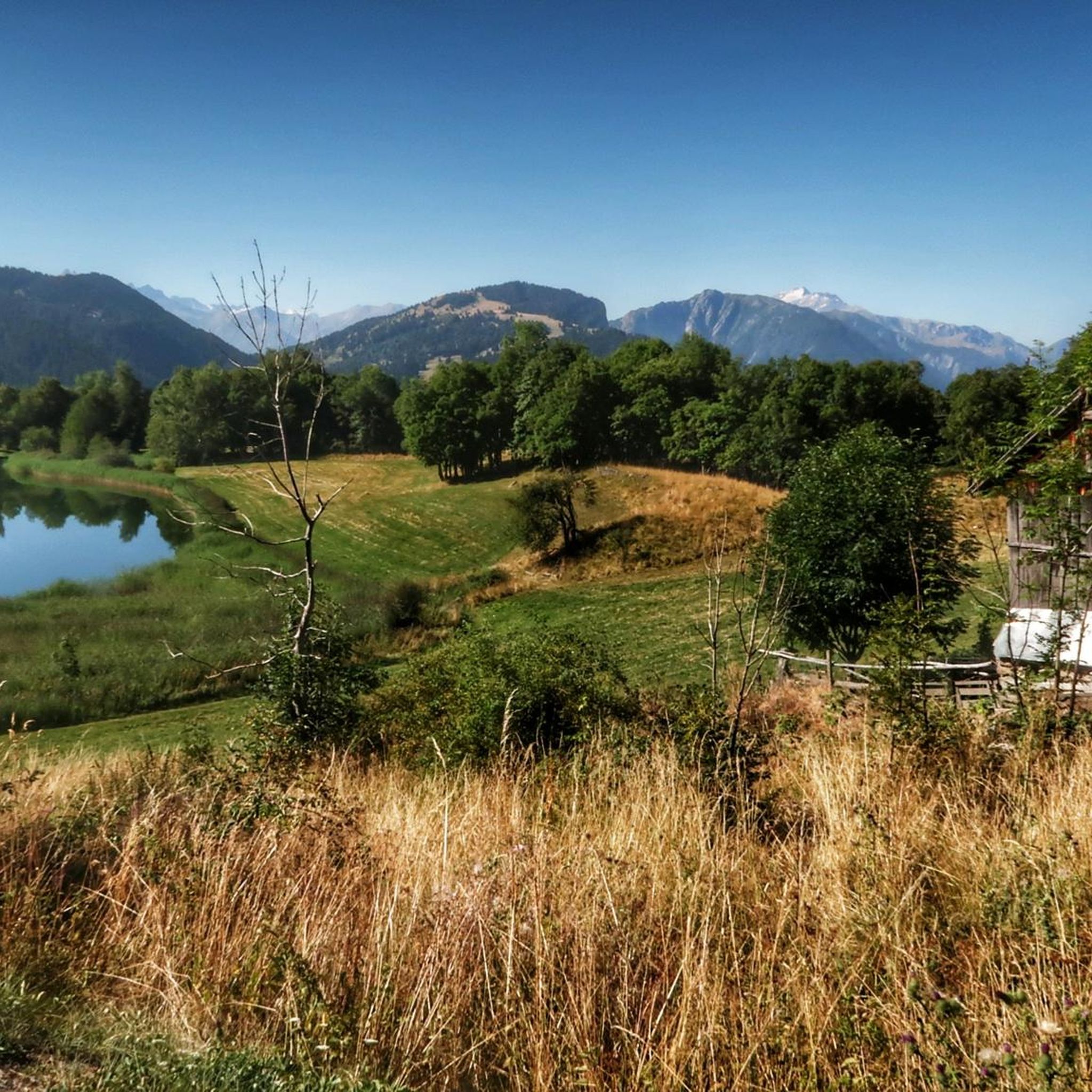


Tips from the Community

Narrow road, great views. Relatively little traffic.
2
0
Grandiose ascent on the D110, great view at the pass.
2
0


The views at the top of this pass are definitely worth the detour 👍
0
0

The Col de la Croix de Fer culminates at an altitude of 2063 meters. It is the big neighbor of the Col du Glandon, another crossing point between the Maurienne and Oisans valleys. The Tour de France has used this pass 21 times. It is one of the most beautiful in France, a must-visit point for any mountain-loving cyclist!
1
0

This is the classic southern slope of the pass, which begins at La Chambre. With a vertical drop of 1,591 m, a length of 19.3 km, and an average gradient of 7.9%, it's a colossus. The initial section has many hairpin bends and is covered with trees and vegetation. The intermediate section is probably the toughest. From the Saint François Longchamp ski resort, where there is a gentler section, there are a beautiful 5 km of completely open terrain where you can see the entire final section. Descending this pass is a delight because you build up speed and it also has all kinds of curves.
0
0

The pass cannot be adequately described in words! Hardly any traffic, small, good street, never really steep, lots of nature (from Albertville), gigantic mountain panorama the higher you go, ..... .
0
0

There are three different ways to climb to the top of the Col de la Croix de Fer. The most famous is the climb from the Verney dam in the Oisans valley, because it is the slope used in the Marmotte (except the last kilometers). It is 27.5 kilometers long with an elevation gain of 1292 meters. The average slope is 4.7% with maximum slopes of 11.1%. The Col de la Croix de Fer from Saint-Jean-de-Maurienne is 28.2 kilometers with an elevation gain of 1475 meters. The average gradient is 5.23% with maximum gradients of 9.6% The final ascent is via the Col du Glandon. After the summit of Glandon it remains approximately 2 kilometers to the summit.
6
1
Frequently Asked Questions
What are some of the most notable mountain passes accessible from Jarrier?
Jarrier serves as an excellent base for exploring several renowned mountain passes. Among the most notable are Col de la Croix de Fer, famous for its challenging cycling routes, Mollard Pass, known for its breathtaking panoramic views, and Col du Chaussy, which features the unique Montvernier serpentine road.
Which mountain passes are particularly challenging for cyclists?
For avid cyclists seeking a challenge, the Col de la Croix de Fer is a legendary pass frequently featured in the Tour de France, with ascents like the 27.5 km climb from the Verney dam. Its neighbor, Col du Glandon, also offers challenging gradients, with an average of 6.9% and maximums reaching 11%.
Where can I find the best panoramic views of the Aiguilles d'Arves?
The Mollard Pass (Col du Mollard) is highly recommended for its magnificent vistas. Upon reaching its summit at 1,638 meters, you'll be greeted with an awesome view of the jagged peaks of the Aiguilles d'Arves, making it an ideal spot for photography.
What is the Montvernier serpentine road, and which pass is it associated with?
The Montvernier serpentine road is a distinctive and visually striking ascent involving numerous hairpin bends. It is part of the route to the Col du Chaussy, specifically when approaching from the south (Pontamafrey). This road helps overcome approximately 1000 meters in elevation and is popular with cyclists.
Can I combine cycling routes over multiple passes in the region?
Yes, the proximity of passes like Col de la Croix de Fer and Col du Glandon allows for combination routes, offering an extended and rewarding alpine cycling experience. The final ascent to Croix de Fer is often via Glandon, with only about 2 kilometers separating the two summits.
What outdoor activities can I do near the mountain passes around Jarrier?
The region around Jarrier offers a variety of outdoor activities. You can find numerous cycling routes, including challenging road bike tours over passes like Glandon and Croix de Fer, as well as MTB trails. For more details on routes, explore the MTB Trails around Jarrier, Cycling around Jarrier, and Road Cycling Routes around Jarrier guides.
What is the best time of year to visit the mountain passes around Jarrier?
Many of the mountain passes in the region, such as the Col du Glandon, are typically passable between May and October. This period offers the most favorable conditions for cycling, hiking, and scenic drives, as roads are generally clear of snow.
Are there any cafes or facilities available at the mountain pass summits?
At the summit of Col de la Croix de Fer, there is a warm and welcoming hostel where you can rehydrate and regain your strength with regional food. Prices are generally reasonable, and the view is magnificent.
What makes the mountain passes around Jarrier appealing to the komoot community?
The mountain passes around Jarrier are highly appreciated by the komoot community for their challenging cycling climbs, scenic viewpoints, and historic significance. Users have contributed over 120 upvotes and 25 photos, highlighting the area's diverse appeal for different skill levels and interests.
Are there any less-trafficked or 'secret' passes worth exploring?
The Col du Mollard is often considered more of a secret, especially when approached from Villargondran. It offers a particularly beautiful climb with countless hairpin bends through the forest on a very quiet street, making it a great option for those seeking less traffic.
What are the typical elevation gains for climbs in this region?
Climbs in the Jarrier region can involve significant elevation gains. For example, the famous ascent of Col de la Croix de Fer from the Verney dam covers 1292 meters over 27.5 kilometers. The Col du Glandon from La Chambre involves a total elevation gain of 1,472 meters.
Most popular routes around Jarrier
Most popular attractions around Jarrier

Get inspired with the komoot mobile app


Explore more
See even more epic mountain passes by checking out these guides around Jarrier:
