The best walks and hikes around Lalouvesc
4.5
(159)
873
hikers
21
hikes
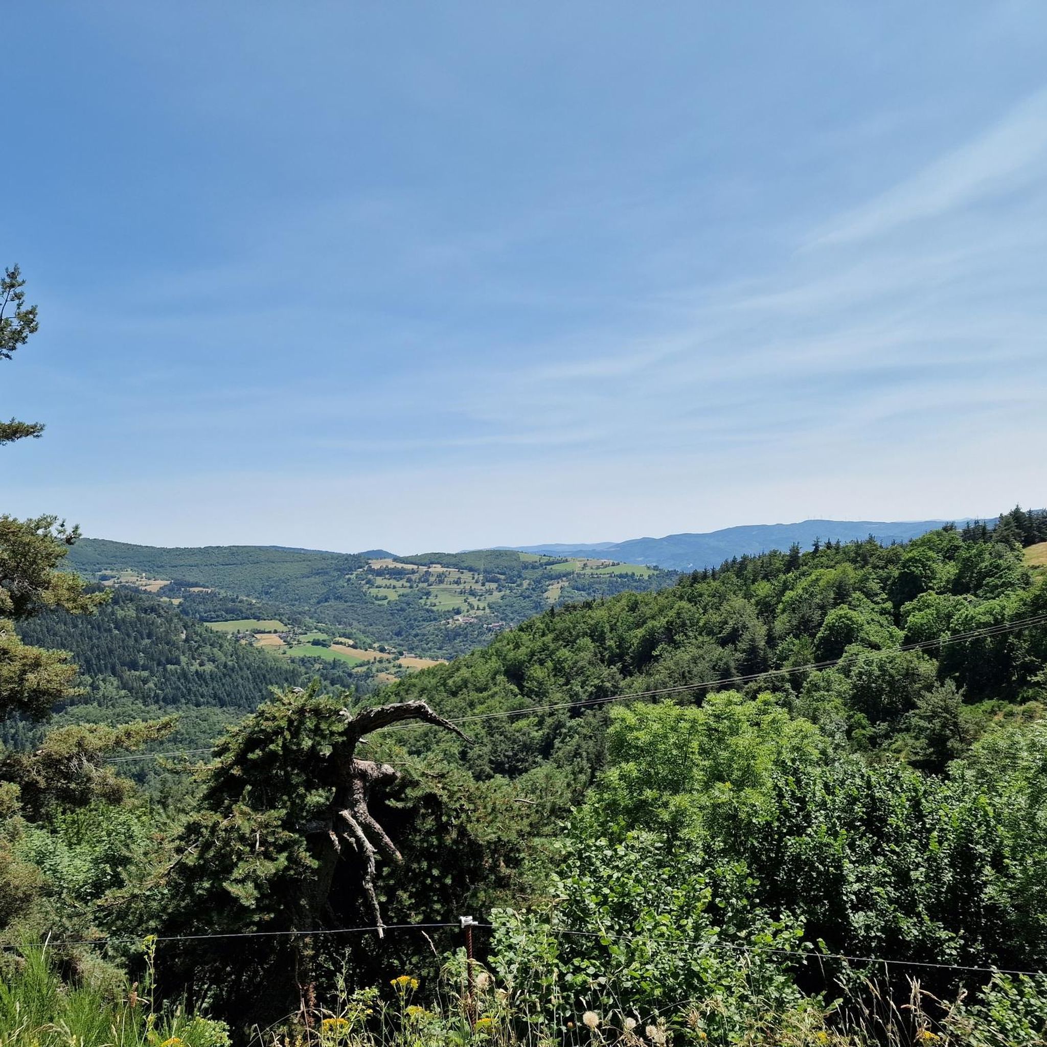
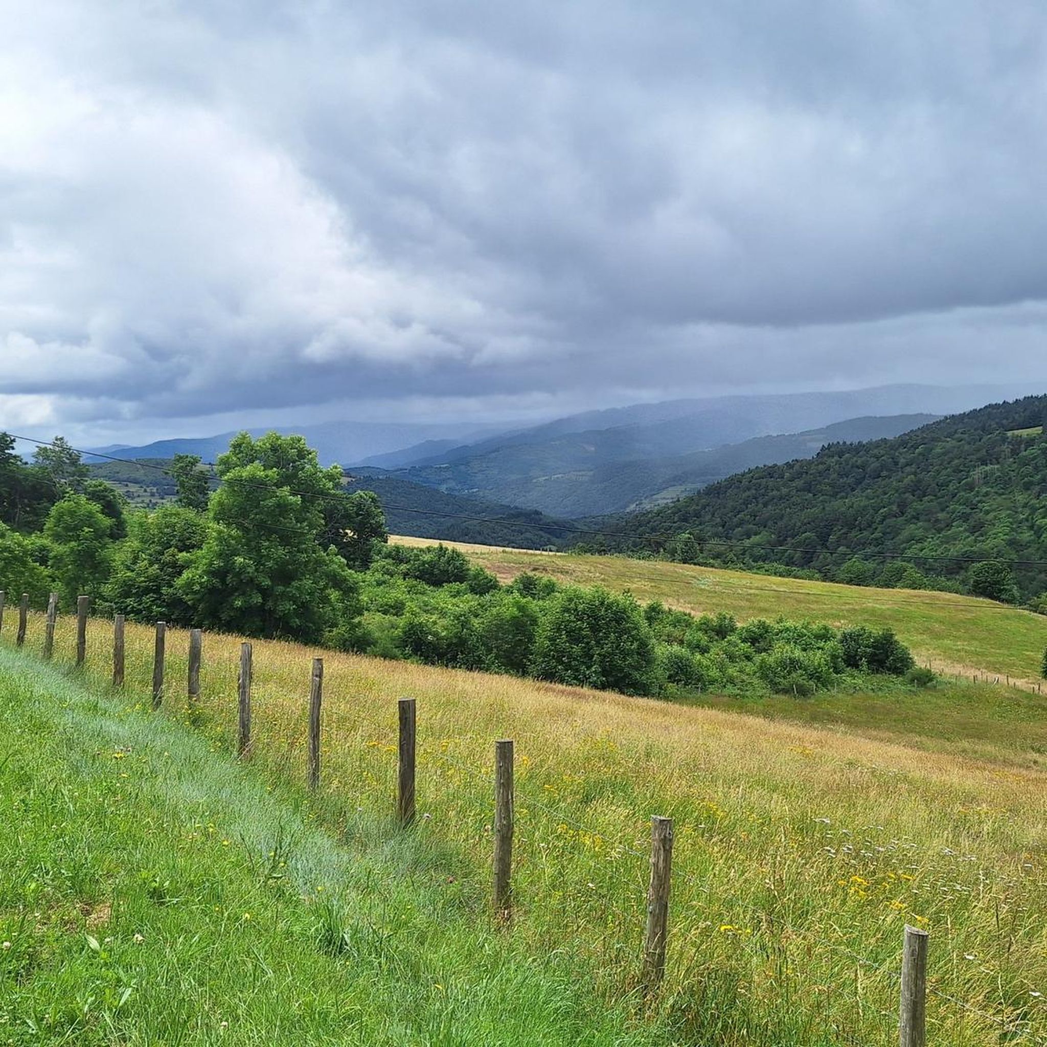
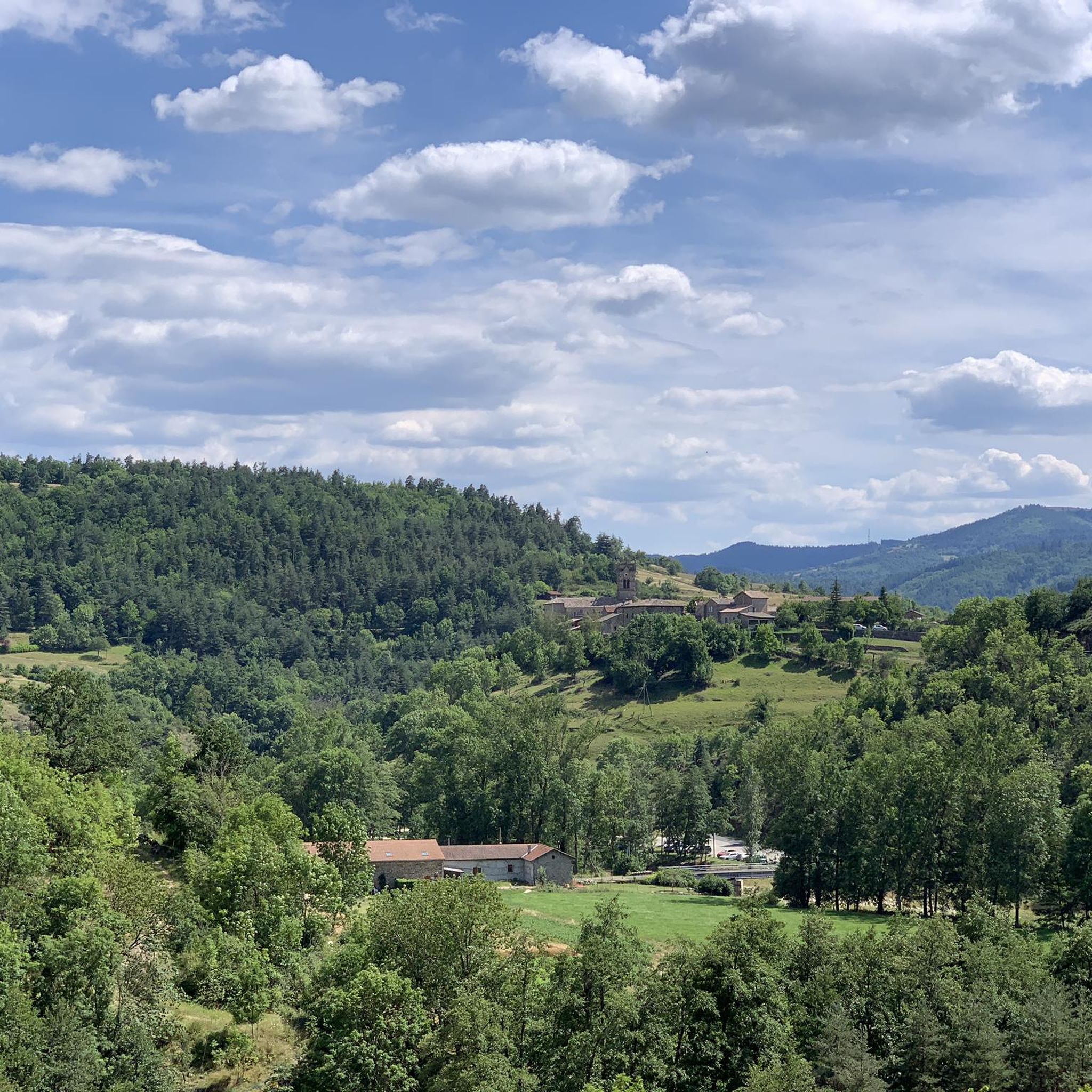
Hiking around Lalouvesc offers exploration of a diverse landscape situated at nearly 1100 meters altitude in the Ardèche department. The region is characterized by extensive pine forests, rolling forested hills, and unique dry grasslands. Panoramic views stretch across the Rhône Valley, encompassing Mont Blanc and the Cévennes mountains. The area includes mountainous terrain such as Mont Chaix and Mont Besset, providing varied elevation for trails.
Best hiking trails around Lalouvesc
- The most popular hiking route is Le Serre de Sardier…
Last updated: November 8, 2026
4.5
(12)
52
hikers
6.32km
01:51
180m
180m
Easy hike. Easily walkable paths.
4.7
(3)
28
hikers
12.8km
03:41
300m
300m
Moderate hike. Good fitness required. Easily walkable paths.

3.8
(4)
18
hikers
12.2km
03:47
470m
460m
Moderate hike. Good fitness required. Easily walkable paths.
5.0
(4)
14
hikers
13.8km
04:07
420m
420m
Moderate hike. Good fitness required. Easily walkable paths.
5.0
(2)
9
hikers
3.95km
01:09
100m
100m
Easy hike. Easily walkable paths.
Get access to more routes and recommendations from other explorers.
Already have an account?
Our route recommendations are based on thousands of hikes, rides, and runs completed by other people on komoot.
Start today with a free account
Your next adventure awaits.
Tips from the Community

Very nice route - with a great descent.
1
0
People would go here on pilgrimage if their wish to have children was not fulfilled.
1
0

The mountain of Suc de Mirabel is at an altitude of 1161 meters.
0
0
At the Col du Faux, you are at an altitude of more than 1000 meters and Mont Mézenc shows itself in all its grandeur while Mont Gerbier de Jonc makes its appearance.
0
0

The Col du Faux from Saint-Félicien is 10.4 km long with a total drop of 481 m. The average gradient is 4.6% with maximum gradients of 8.8%.
2
0

Nice view, correct access from the village, Be careful, the descent on the forest side promises to be sporty with a lot of stones! Personally, I did not hesitate to lengthen my route a little...
1
0

Beautiful pass to discover
0
0

My pilgrimage as soon as I am in the region
1
0
Frequently Asked Questions
How many hiking trails are available around Lalouvesc?
There are over 60 hiking trails around Lalouvesc, offering a wide range of options for different skill levels. You'll find everything from easy strolls to more challenging routes through the mountainous terrain.
Are there easy hiking trails suitable for families or beginners in Lalouvesc?
Yes, Lalouvesc offers about 20 easy trails perfect for families or those new to hiking. A great option is the Mont Besset loop from Lalouvesc, which is around 3.9 km and can be completed in about an hour and ten minutes, offering gentle slopes and pleasant scenery.
What kind of landscapes can I expect to see on hikes around Lalouvesc?
Hiking around Lalouvesc offers incredibly diverse landscapes. You'll traverse extensive pine forests, mixed deciduous/coniferous woodlands, and unique dry grasslands. The region is also known for its breathtaking panoramic views stretching across the Rhône Valley, often encompassing Mont Blanc and the Cévennes mountains from higher points like the orientation table opposite the Basilica.
Are there any circular walks around Lalouvesc?
Many of the trails around Lalouvesc are circular, allowing you to start and end in the same location. For example, the Le Serre de Sardier Loop is a moderate 13.1 km circular route that takes you through varied terrain in the local hills.
What are some notable natural features or viewpoints to look out for on the trails?
The region is rich in natural beauty. You can enjoy expansive views from various points, including the orientation table in Lalouvesc itself. Hiking routes often pass through significant mountain passes like Buisson Pass or Col du Fau (1021 m), offering stunning vistas of the surrounding Vivarais mountains and beyond. The forests themselves are a highlight, with opportunities for mushroom and wild blueberry picking in season.
Can I bring my dog on the hiking trails in Lalouvesc?
Yes, many trails in the Lalouvesc area are dog-friendly. The 'Wood of Versailles' loop, mentioned in regional research, is specifically noted as pet-friendly. Always ensure your dog is under control and check for any specific local regulations on individual trails.
What is the best time of year to go hiking in Lalouvesc?
Lalouvesc offers hiking opportunities throughout much of the year. Spring and autumn provide pleasant temperatures and beautiful foliage, while summer is ideal for enjoying the cooler air at altitude. Winter hiking is also an option, especially for those seeking snowy landscapes, but requires appropriate gear and checking local conditions.
Are there any challenging hikes for experienced trekkers in the area?
Absolutely. While there are many easy and moderate routes, Lalouvesc also caters to experienced trekkers with about 5 difficult trails. The region is a meeting point for long-distance trails like GR® 420 and GR® 430, offering more extensive and challenging options. The annual 'Trail des Sapins' also features races up to 45 km, indicating the presence of demanding terrain.
What do other hikers say about the trails in Lalouvesc?
The hiking trails in Lalouvesc are highly rated by the komoot community, with an average score of 4.6 stars from over 100 reviews. Hikers often praise the quiet woodlands, the well-maintained paths, and the spectacular panoramic views that make the effort worthwhile.
Are there any specific attractions or points of interest near the hiking routes?
Beyond the natural beauty, you can explore several mountain passes that serve as excellent viewpoints, such as Rouvey Pass or Col Robert Marchand (911 m). The village of Lalouvesc itself, with its Pilgrim's Park and Basilica, offers a cultural point of interest amidst the hiking opportunities.
How long do hikes in Lalouvesc typically take?
Hikes in Lalouvesc vary greatly in duration. Easy trails like the Suc de Mirabel loop from Lalouvesc can be completed in under two hours, while moderate routes such as the Hiking loop from Lalouvesc might take around 3 hours 40 minutes. Longer and more challenging routes will naturally require more time.
Most popular attractions around Lalouvesc

Get inspired with the komoot mobile app


Explore more
Browse the best Hikes in other regions.
