The best walks and hikes around Eringhem
4.4
(301)
1,891
hikers
159
hikes
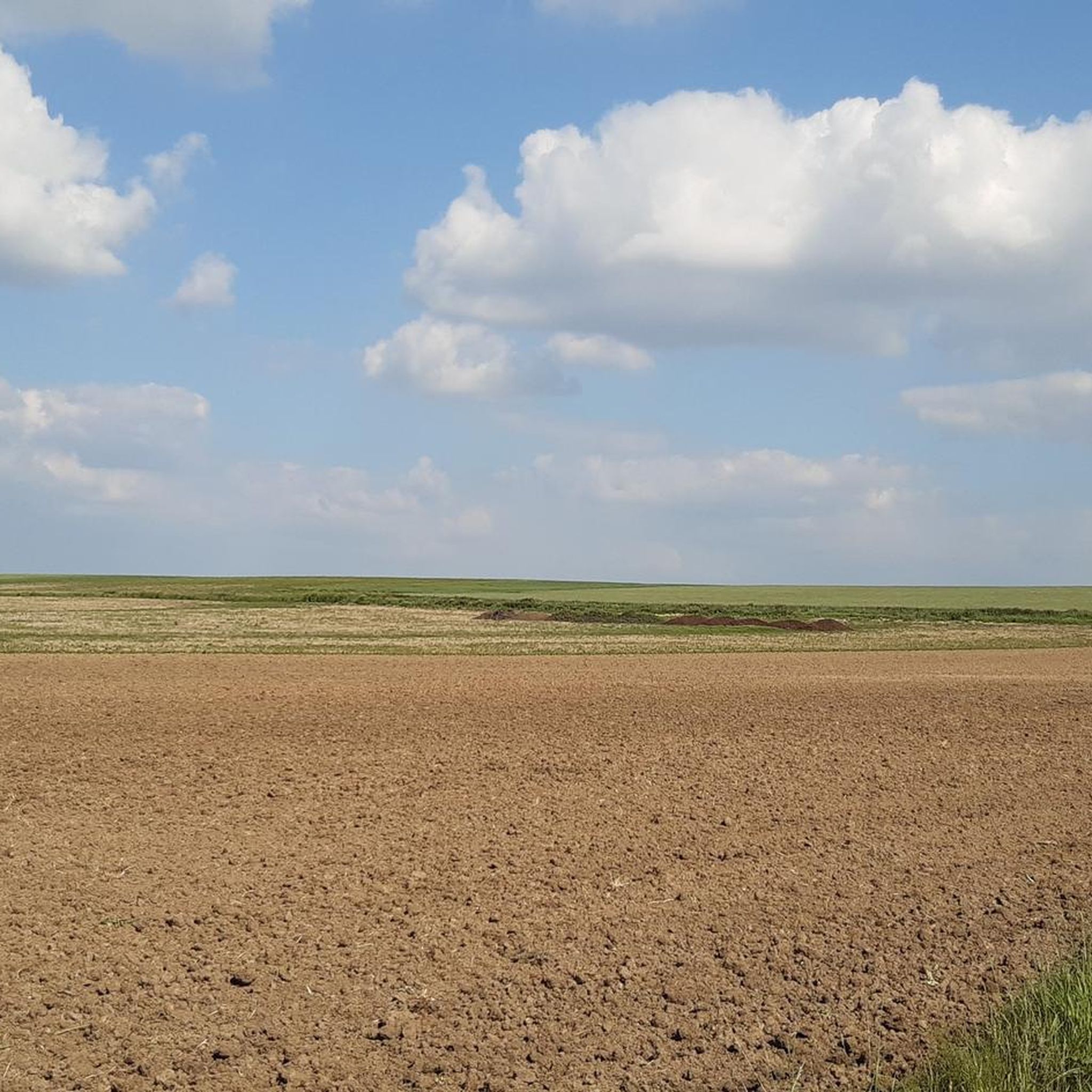
Hiking around Eringhem offers exploration of the flat, rural landscapes of French Flanders, characterized by agricultural lands and traditional countryside. The elevation in the area is generally low, ranging from 0 to 40 meters. The region's hydrographic network, including canals and rivers, provides scenic routes alongside waterways. These features make the area suitable for easy to moderate walks and rambles.
Best hiking trails around Eringhem
- The most popular hiking route is Source of Notre-Dame loop from Bollezeele, a 2.7…
Last updated: May 14, 2026
3.0
(1)
9
hikers
7.15km
01:54
70m
70m
Easy hike. Great for any fitness level. Easily-accessible paths. Suitable for all skill levels.
5.0
(1)
9
hikers
13.1km
03:27
110m
110m
Moderate hike. Good fitness required. Easily-accessible paths. Suitable for all skill levels.

Sign up for free
4.0
(1)
5
hikers
4.37km
01:07
20m
20m
Easy hike. Great for any fitness level. Easily-accessible paths. Suitable for all skill levels.
4
hikers
6.72km
01:43
20m
20m
Easy hike. Great for any fitness level. Easily-accessible paths. Suitable for all skill levels.
4
hikers
13.8km
03:37
100m
100m
Moderate hike. Good fitness required. Easily-accessible paths. Suitable for all skill levels.
Get access to more routes and recommendations from other explorers.
Sign up for free
Already have an account?
Our route recommendations are based on thousands of hikes, rides, and runs completed by other people on komoot.
Start today with a free account
Your next adventure awaits.
Login or Signup




Tips from the Community

With nice parking spaces, so this is a good starting place
1
1

The chapel Sainte-Mildrède is hidden in the valley. Inside hang six dieken (1780) by Pieters from Dunkirk, who sketch the life of the saint.
5
0
The Merckeghem Orientation Table is a viewpoint located in Merckeghem. It allows you to discover a view of the Monts de Flandre and Flandre Maritime and can locate, thanks to the orientation table, the surrounding municipalities.
5
0

Since 2010, the municipality of Volckerinckhove has had a horse-powered mill built by the Yser Houck association, using documents found in the archives and plans produced by ARAM. This type of small horse-powered mill, once common in Flanders, no longer existed in the region, which is why the Yser Houck association decided to rebuild it.
1
0

Viewpoint over the Plaine Maritime, set back from the Route de Bollezeele.
1
0
Frequently Asked Questions
How many hiking trails are available around Eringhem?
There are over 140 hiking routes around Eringhem, offering a wide range of options for exploring the flat, rural landscapes of French Flanders. These include 53 easy trails, 86 moderate routes, and a few more challenging options.
What kind of terrain can I expect on hikes near Eringhem?
The terrain around Eringhem is generally flat and rural, characterized by agricultural lands, traditional countryside, and paths alongside canals and rivers. Elevations are low, typically ranging from 0 to 40 meters, making most routes suitable for easy to moderate walks.
Are there any circular walks available in Eringhem?
Yes, many of the trails around Eringhem are circular, allowing you to start and end at the same point. For example, the Saint Mildred – Le Rosmeule Horse Mill loop from Merckeghem is a moderate 13.1 km circular route, and the Source of Notre-Dame loop from Bollezeele offers an easy 4.4 km circular option.
What are some family-friendly hiking options near Eringhem?
Eringhem's generally flat and accessible terrain makes it ideal for family walks. Easy routes like the Source of Notre-Dame loop from Bollezeele (4.4 km) or the Station van Esquelbeck loop from Zegerscappel (6.7 km) are great choices, featuring minimal elevation change and pleasant rural scenery.
What do other hikers enjoy most about hiking in Eringhem?
The area is highly rated by the komoot community, with an average score of 4.4 stars from over 250 reviews. Hikers often praise the peaceful rural landscapes, the charm of the agricultural fields, and the serene paths alongside canals and rivers, which offer a tranquil escape.
Are there any historical landmarks or attractions to see while hiking?
Yes, the region around Eringhem offers several historical and natural attractions. You can explore sites like the historic Bergues Belfry, or discover the natural beauty Along the Houlle River. The Saint Martin Church is another notable point of interest.
What is the best time of year to hike around Eringhem?
The gentle landscape of Eringhem is pleasant for hiking throughout much of the year. Spring and autumn offer mild temperatures and beautiful scenery, while summer provides longer daylight hours. Even in winter, the low elevation and generally accessible paths can be enjoyed, though checking local weather forecasts is always recommended.
Are there any specific natural areas or waterways to explore?
The region is known for its hydrographic network. You can find scenic walks along the Houlle river, which is noted for its biodiversity, or explore paths along the Canal de Bergues. These waterways provide a unique natural setting for your hikes.
Can I find longer hiking routes for a full day out?
Absolutely. While many routes are shorter, there are longer options for those seeking a full day's adventure. For instance, the Le Rosmeule Horse Mill loop from Bollezeele is a moderate 13.8 km trail, and the Hiking loop from Bollezeele covers 11.5 km, both offering extensive exploration of the rural landscape.
What are the elevation changes like on hikes in Eringhem?
Eringhem is situated in a very flat region, with elevations typically ranging from 0 to 40 meters. Most hikes feature minimal elevation gain, making them accessible and enjoyable for all fitness levels. Even longer routes like the Saint Mildred – Le Rosmeule Horse Mill loop only have about 112 meters of ascent.
Are there any viewpoints or panoramic spots near Eringhem?
While Eringhem itself is flat, the nearby town of Cassel, built on the highest hill in the Flanders region, offers panoramic views of the surrounding countryside. You can also visit Watten Hill for elevated perspectives of the area.
Most popular attractions around Eringhem

Get inspired with the komoot mobile app


Explore more
Browse the best Hikes in other regions.
