The best walks and hikes around Betteldorf
4.5
(13758)
46,632
hikers
12
hikes
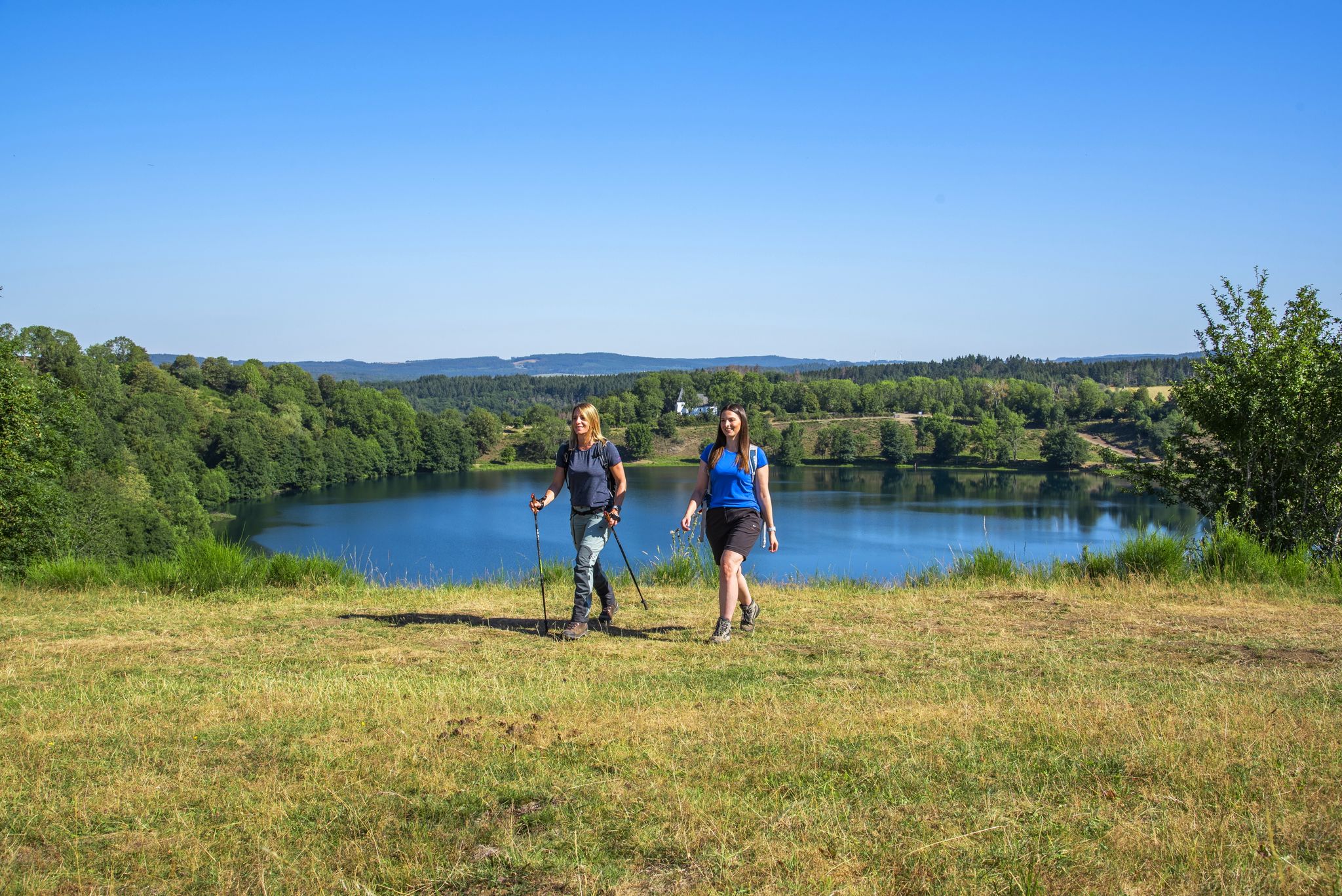
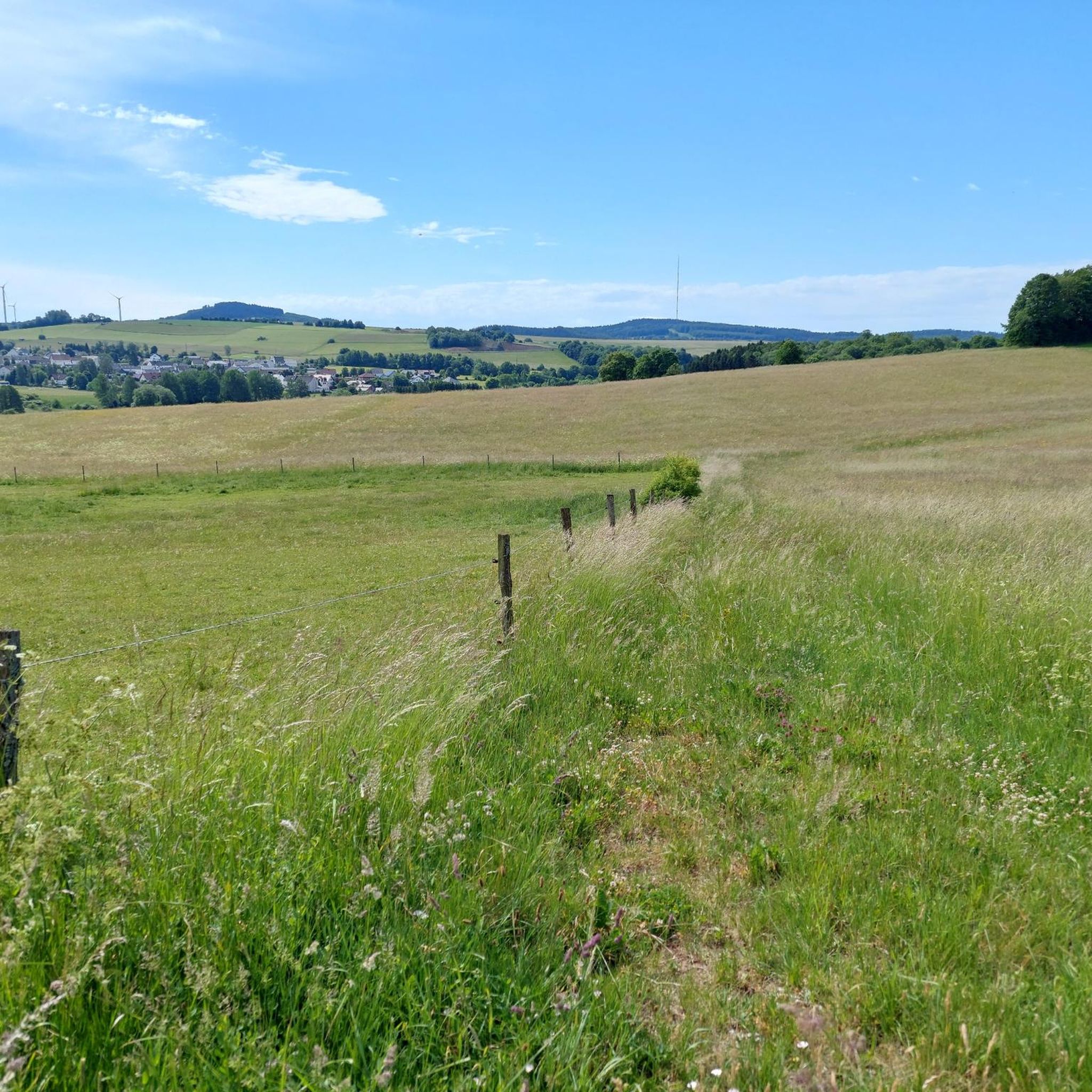
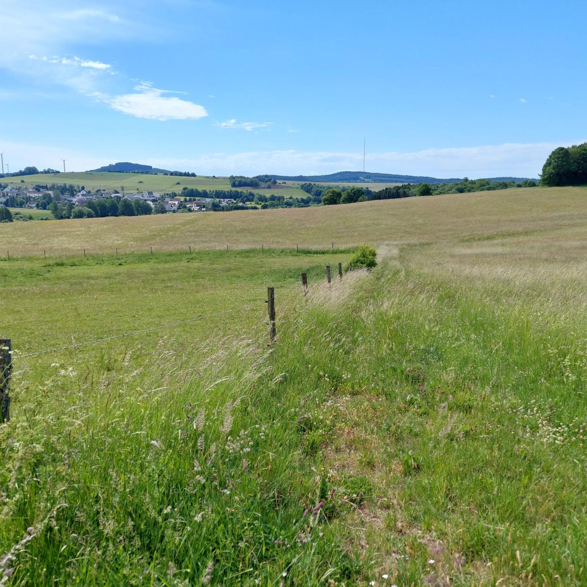
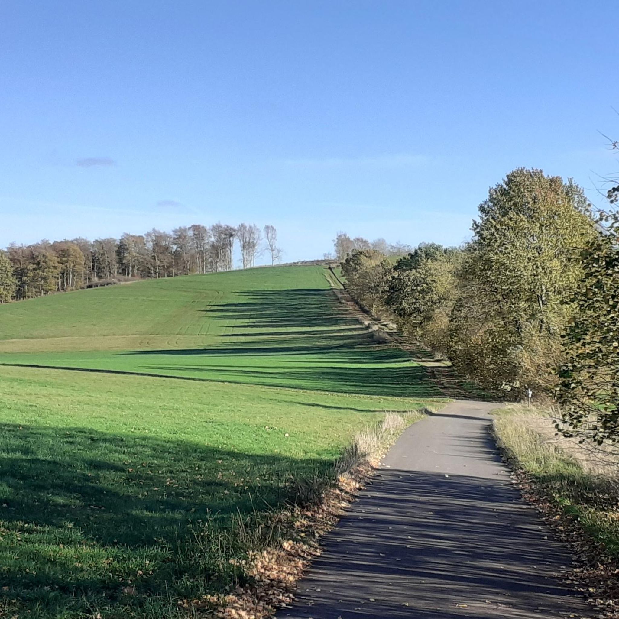
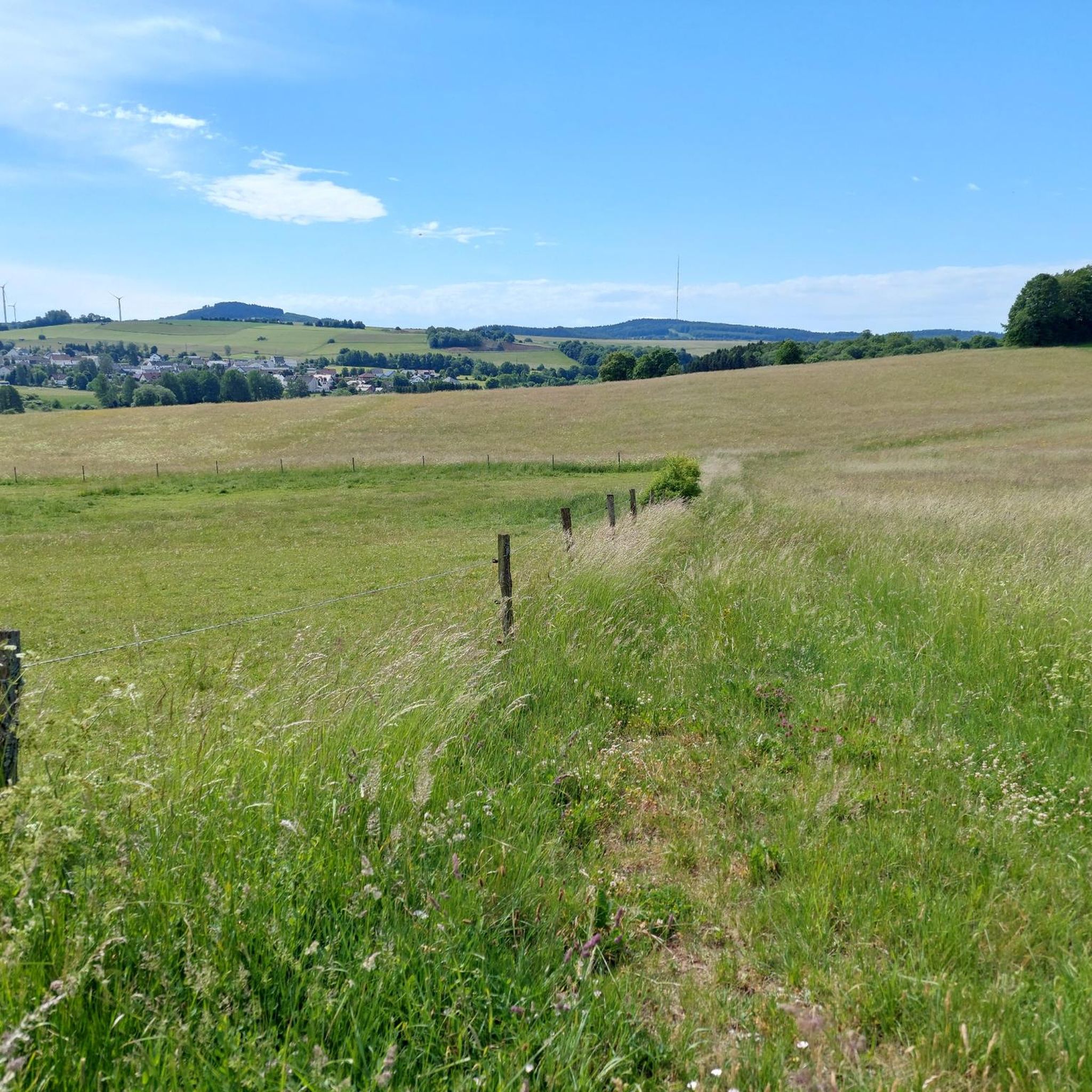
Hiking around Betteldorf offers diverse experiences through a landscape shaped by its volcanic past. The region features rolling hills, dense forests, and clear streams, providing a scenic backdrop for numerous hiking trails. Prominent natural landmarks include the Döhmberg, a distinctive conical basalt mountain, and proximity to the Eifel maars, which are volcanic lakes. This varied terrain ensures a range of routes for outdoor enthusiasts.
Best hiking trails around Betteldorf
- The most popular hiking route is HeimatSpur Döhmbergweg – GesundLand Vulkaneifel…
Last updated: October 28, 2026
4.6
(33)
97
hikers
5.37km
01:28
80m
80m
Easy hike. Easily walkable paths.
8
hikers
17.2km
04:51
360m
360m
Moderate hike. Good fitness required. Easily walkable paths.

4.8
(4)
9
hikers
4.29km
01:10
60m
60m
Easy hike. Easily walkable paths.
5.0
(1)
6
hikers
4.36km
01:11
60m
60m
Easy hike. Easily walkable paths.
5
hikers
3.23km
00:53
50m
50m
Easy hike. Easily walkable paths.
Get access to more routes and recommendations from other explorers.
Already have an account?
Our route recommendations are based on thousands of hikes, rides, and runs completed by other people on komoot.
Start today with a free account
Your next adventure awaits.
Other adventures around Betteldorf

Tips from the Community

The Borussia Cave is one of several historical millstone caves on the 583-meter-high Mühlenberg in Hohenfels-Essingen.
2
0
Historical mining of basalt lava and slag for the production of millstones, which created an artificial cave system.
2
0
The Schwedenfeste has a fortified entrance and served as a refuge during the Thirty Years' War.
2
0

The railway bridge near Betteldorf in the Vulkaneifel district belongs to the historic Eifelquerbahn, which connects Andernach via Mayen, Daun, and Gerolstein. This section of the railway line was opened on May 15, 1895, and opened up the remote towns of the Vulkaneifel for passenger and freight transport. The bridge carries the railway line over the Bundesstraße 410 and is a testament to railway construction in the late 19th century. In 1991, regular passenger traffic was discontinued; later, special tourist trains still operated. Since the end of 2012, scheduled operations on this section of the line have been suspended. In January 2022, the line was used temporarily to transport flood-damaged railway vehicles away from Gerolstein.
1
0
Nice resting place right next to it.
2
0

The caves can be explored with the help of a flashlight.
2
0
The caves are easy to explore with the help of a flashlight.
2
0
Frequently Asked Questions
How many hiking trails are available around Betteldorf?
Based on komoot data, there are over 10 hiking routes in the Betteldorf area, catering to various preferences and fitness levels.
What kind of difficulty levels can I expect on hikes in Betteldorf?
The trails around Betteldorf offer a range of difficulties. You'll find many easy routes, some moderate options, and at least one more challenging path, ensuring there's something for every hiker.
When is the best time of year to go hiking in Betteldorf?
The best times for hiking in Betteldorf are generally spring and autumn. During these seasons, the weather is mild, and the natural scenery is particularly vibrant, with blossoming forests in spring and colorful foliage in autumn.
Are there any family-friendly hiking trails in Betteldorf?
Yes, Betteldorf offers several family-friendly routes. The HeimatSpur Döhmbergweg – GesundLand Vulkaneifel is an easy, circular route that traverses meadows and shaded forests, making it suitable for families. The Eifelsteig section around Betteldorf is also appealing for families, weaving through forests and over gentle hills.
Are there any circular hiking routes in the Betteldorf area?
Yes, Betteldorf features several circular routes. A popular option is the HeimatSpur Döhmbergweg – GesundLand Vulkaneifel, which is an easy loop trail. Another is the Small mountain chapel – View of Oberehe loop from Betteldorf, offering scenic views.
What natural landmarks or viewpoints can I discover while hiking near Betteldorf?
The region is rich in natural landmarks due to its volcanic past. You can visit the Dreimühlen Waterfall, a unique growing waterfall. The Dronke Tower on the Mäuseberg offers extensive views over the volcanic landscape and Eifel maars. You can also find dramatic views of Gerolstein from the Munterley.
Are there any caves or unique geological formations to explore?
Yes, the volcanic landscape around Betteldorf offers interesting geological features. You can explore the Buchenloch Cave. Additionally, the region is known for its Mühlsteinhöhlen (millstone caves) near Hohenfels, historically used for millstone extraction.
What do other hikers enjoy most about hiking in Betteldorf?
The hiking trails in Betteldorf are highly rated by the komoot community, with an average score of 4.5 stars from over 11,000 reviews. Hikers often praise the diverse volcanic landscape, the well-maintained paths through dense forests, and the scenic views of the Eifel maars.
Are there any places to stop for refreshments or a break along the trails?
Yes, you can find spots for breaks. The Old Bakehouse Bolsdorf is a cafe nearby. There are also various huts and shelters, such as the Rest area with shelter at Dockweiler Drees and the Grill Hut Steinkaul (Bodenbach), providing places to rest.
Can I hike to see the Eifel maars from Betteldorf?
Betteldorf is in close proximity to the famous Eifel maars, which are volcanic lakes. While not directly adjacent, trails in the area, such as those leading to the Dronke Tower on the Mäuseberg, offer extensive views over these unique volcanic formations, including the notable Pulvermaar.
Are there any longer, more challenging routes for experienced hikers?
Yes, for those seeking a longer and more challenging experience, the Borussia Cave – Schwedenfeste Cave loop from Betteldorf is a moderate 10.6-mile (17.1 km) path that explores the volcanic landscape and historical sites, typically requiring around 4 hours 50 minutes to complete.
What is the Döhmberg and can I hike there?
The Döhmberg is a distinctive conical basalt mountain near Betteldorf, offering panoramic views of the surrounding countryside. You can certainly hike there; the HeimatSpur Döhmbergweg – GesundLand Vulkaneifel is an easy circular route that traverses meadows and shaded forests to the base of the Döhmberg.
Most popular routes around Betteldorf
Most popular attractions around Betteldorf

Get inspired with the komoot mobile app


Explore more
Browse the best Hikes in other regions.
