The best mountain hikes around Bonneval-Sur-Arc
4.8
(23)
84
hikers
10
hikes
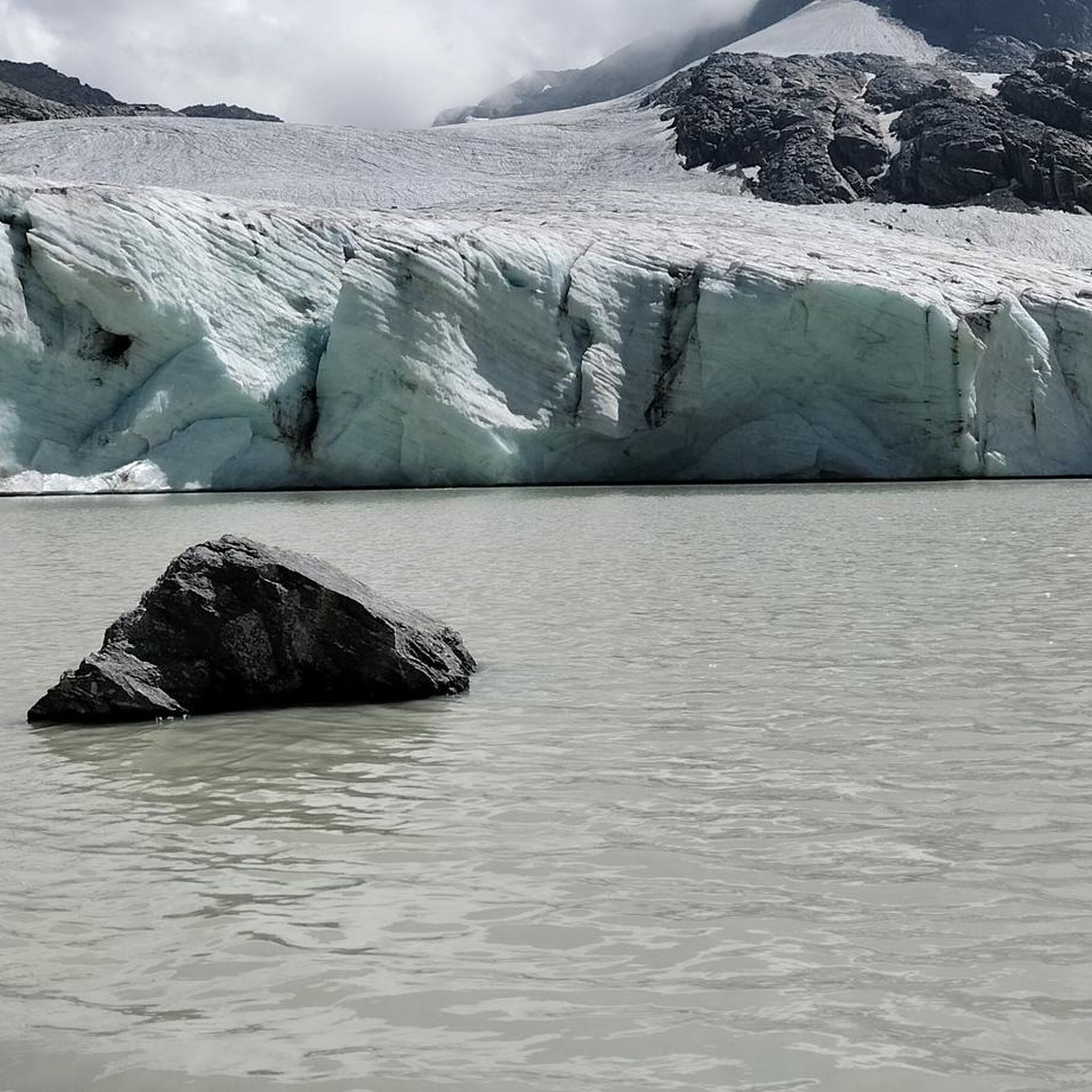
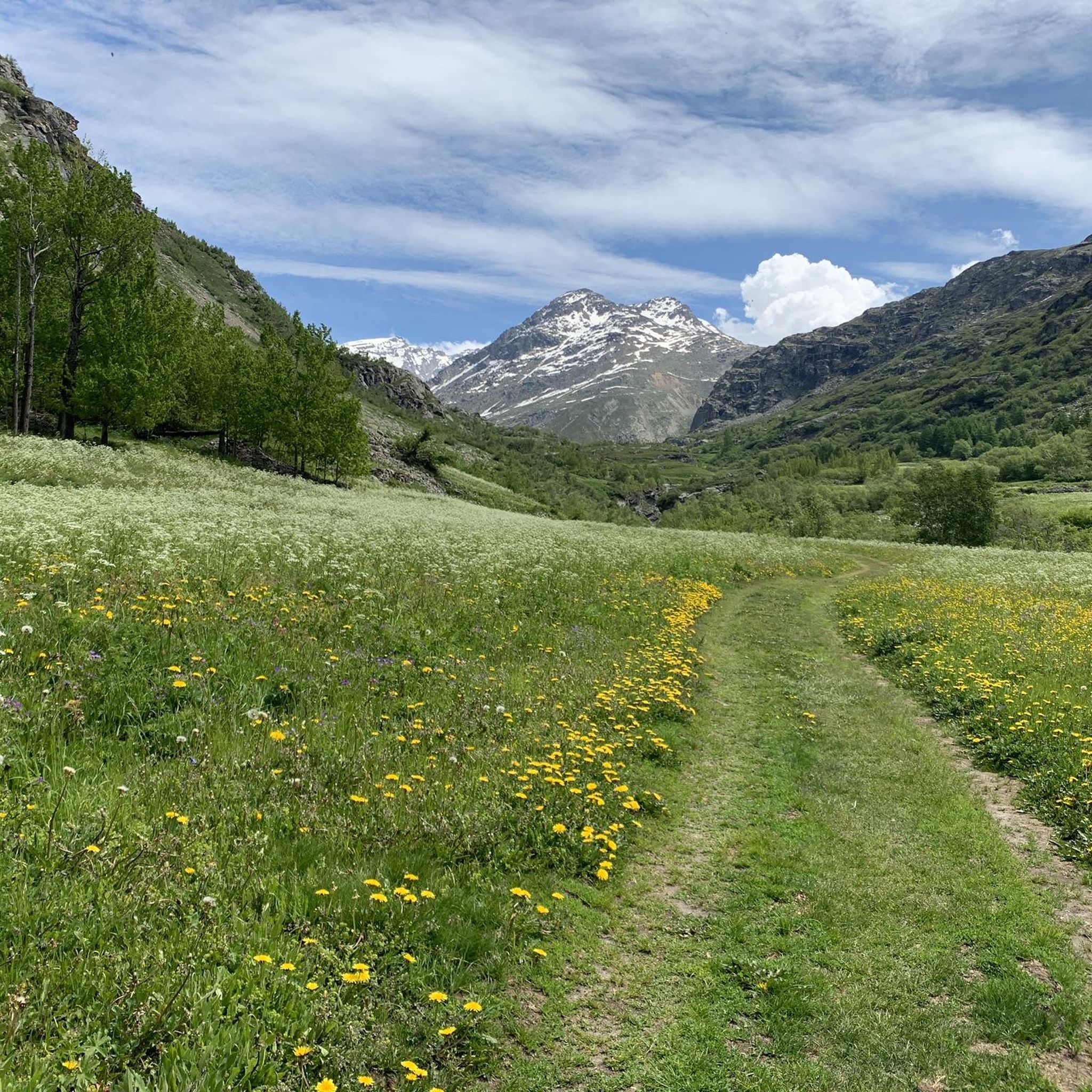
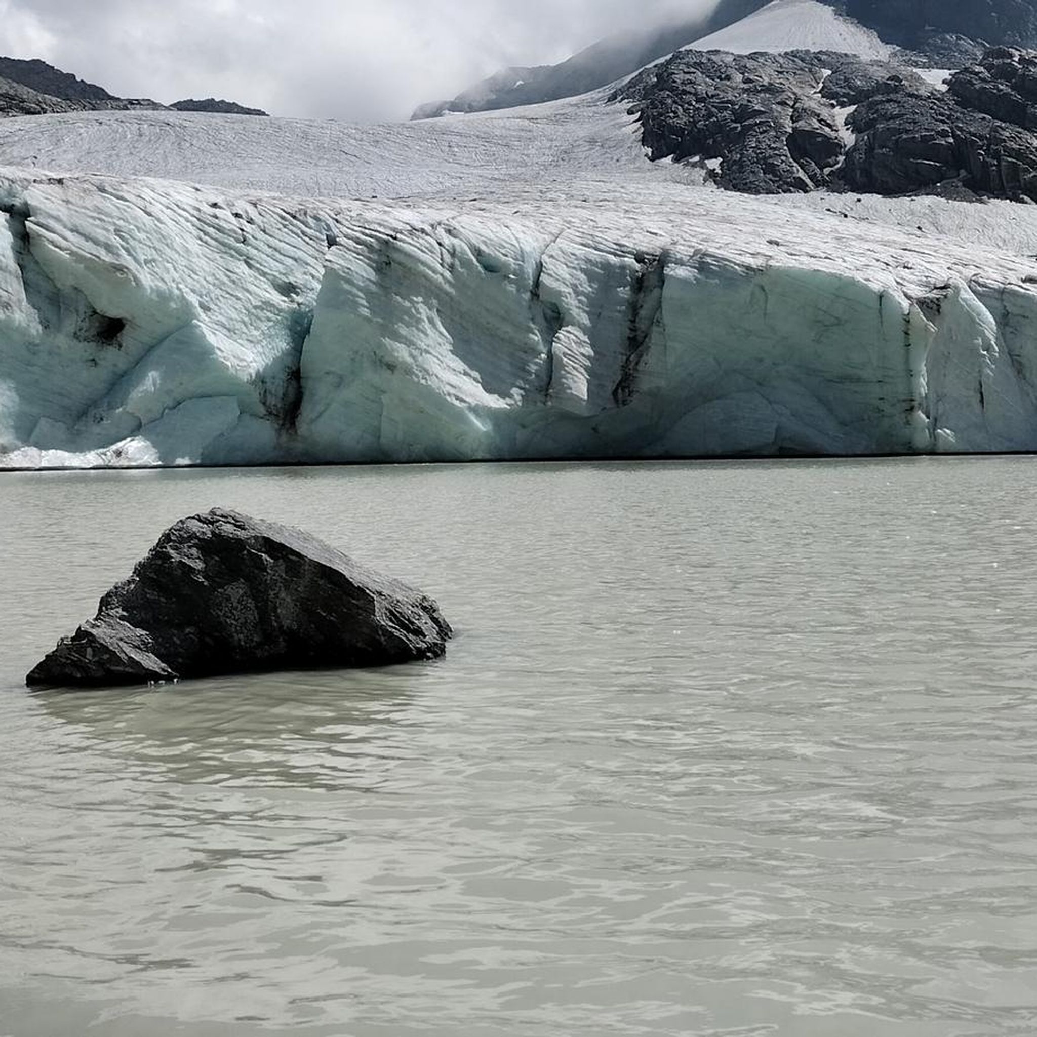
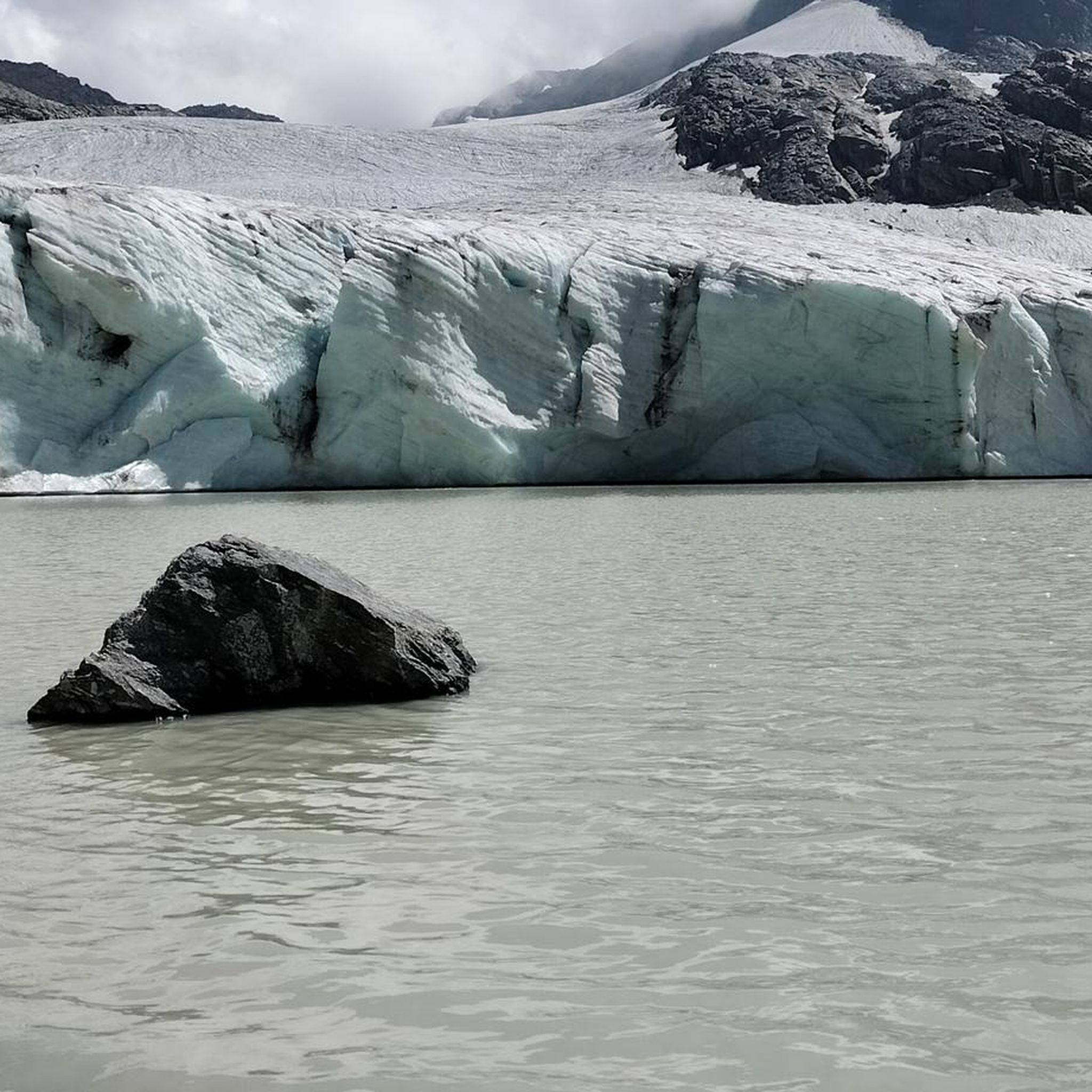
Mountaineering routes around Bonneval-Sur-Arc are situated in the French Alps, within a high-altitude setting recognized by UNESCO as a "Land of Mountaineering." The region is characterized by its proximity to Vanoise National Park, offering vast, preserved natural areas with majestic peaks and glacial landscapes. Prominent features include the Col de l'Iseran and the Grand Méan Glacier, providing diverse terrain for alpine exploration.
Best mountaineering routes around Bonneval-Sur-Arc
- The most popular mountaineering route is Roman Bridge – Lac du Grand Méan…
Last updated: October 4, 2026
5.0
(6)
25
hikers
13.3km
06:26
940m
950m
Hard mountaineering route. Very good fitness required. Sure-footedness, sturdy shoes and alpine experience required.
4.7
(6)
11
hikers
10.5km
06:36
1,130m
1,130m
Hard mountaineering route. Very good fitness required. Sure-footedness, sturdy shoes and alpine experience required.

5.0
(2)
8
hikers
10.4km
05:02
710m
710m
Hard mountaineering route. Very good fitness required. Sure-footedness, sturdy shoes and alpine experience required.
5.0
(2)
5
hikers
6.65km
03:35
580m
580m
Hard mountaineering route. Good fitness required. Sure-footedness, sturdy shoes and alpine experience required.
5.0
(3)
10
hikers
9.74km
03:17
360m
360m
Moderate mountaineering route. Good fitness required. Mostly accessible paths. Sure-footedness required.
Get access to more routes and recommendations from other explorers.
Already have an account?
Our route recommendations are based on thousands of hikes, rides, and runs completed by other people on komoot.
Start today with a free account
Your next adventure awaits.
Popular around Bonneval-Sur-Arc
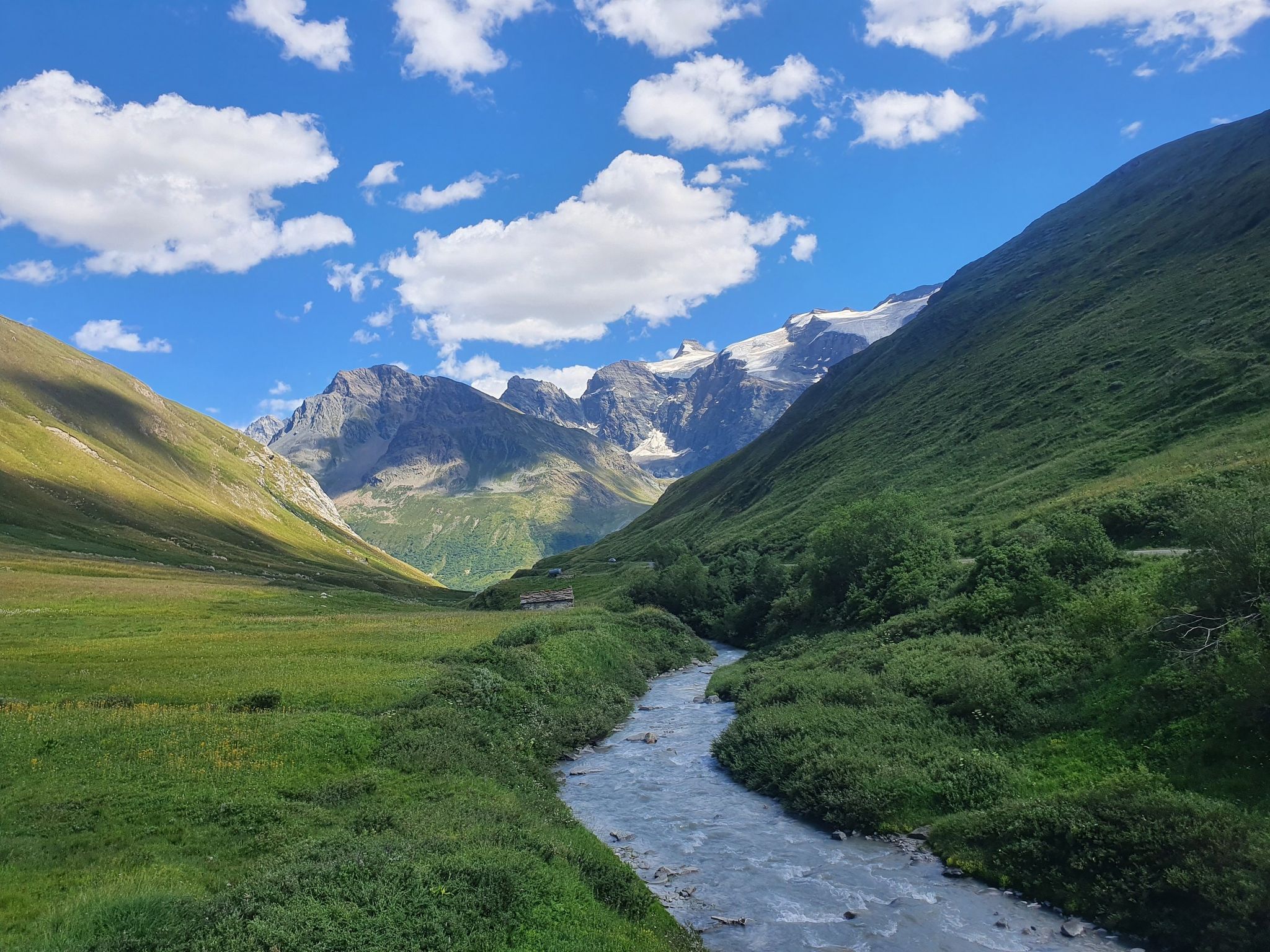
Europe Trail (GR 5) – Hike from Briançon to Landry
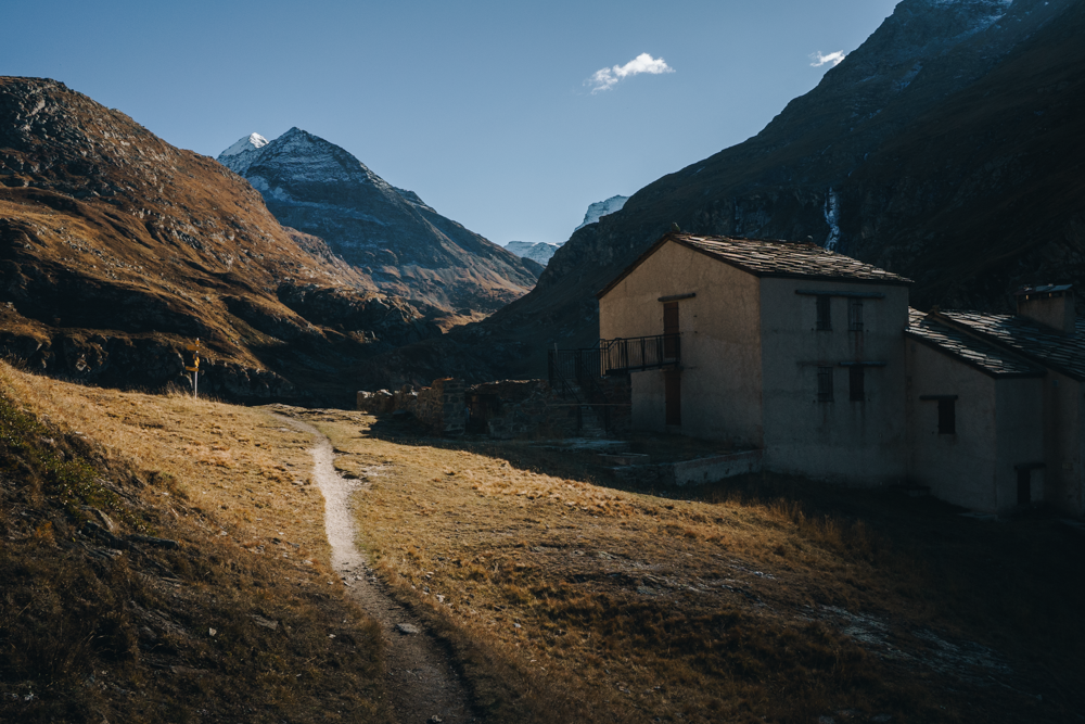
Enjoying the last rays of sunshine — gravel riding in Haute Maurienne
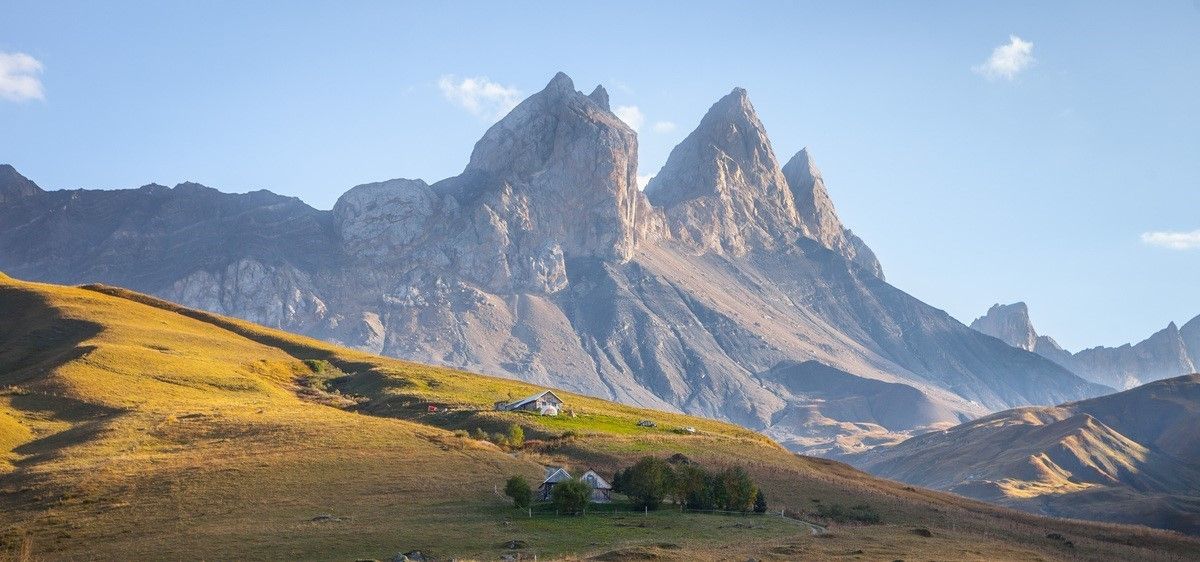
France’s breathtaking Alpine world — road bike routes around Maurienne

Legendary passes of the Tour de France
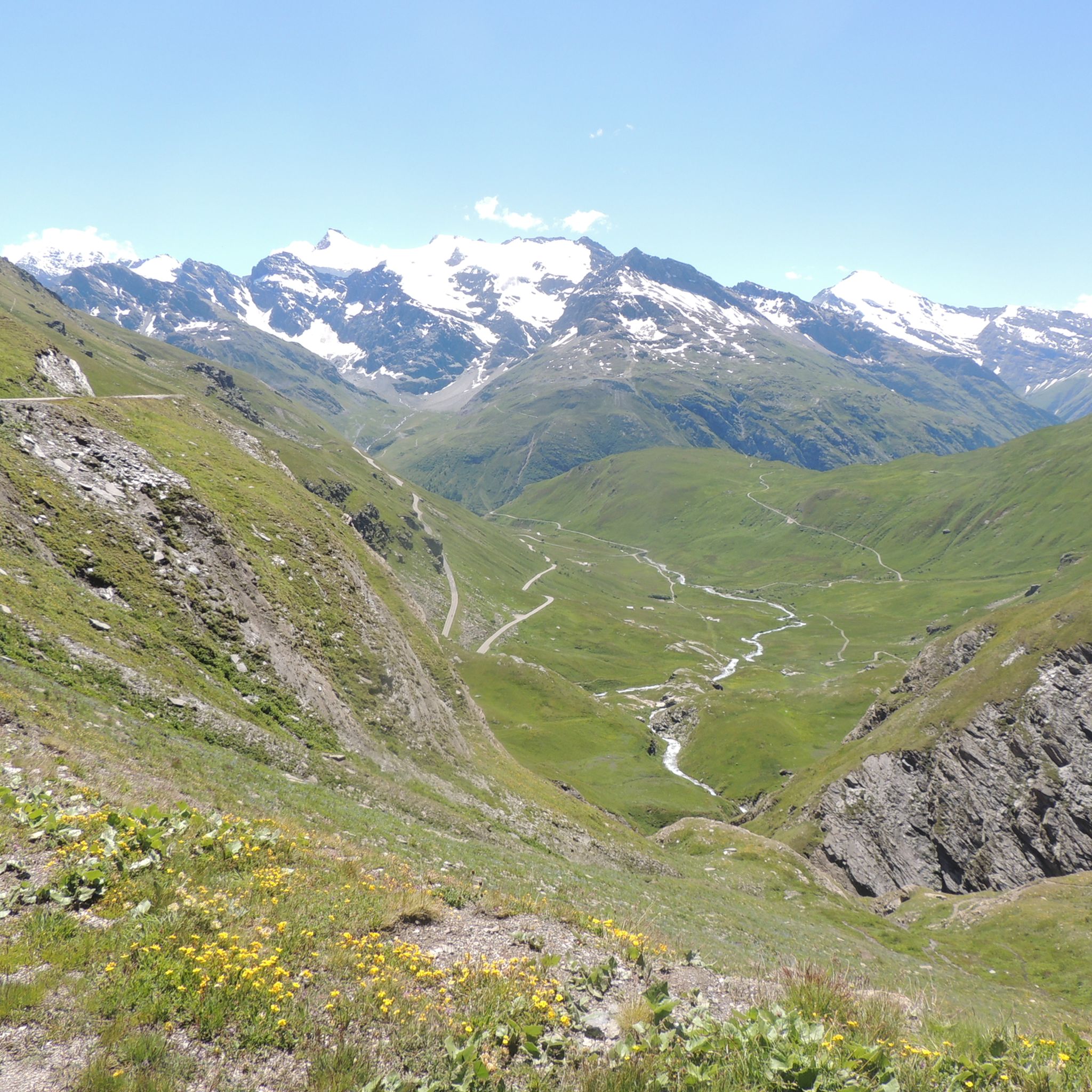
Hiking around Bonneval-Sur-Arc
Road Cycling Routes around Bonneval-Sur-Arc
Running Trails around Bonneval-Sur-Arc
MTB Trails around Bonneval-Sur-Arc
Cycling around Bonneval-Sur-Arc

Gravel biking around Bonneval-Sur-Arc
Other adventures around Bonneval-Sur-Arc


Tips from the Community

Thanks to this bridge you can cross the stream and continue towards Lake Evettes and the glacier
0
0

You can barely see it in the photo, but the wooden footbridge has almost completely collapsed. To cross the river towards Ciamarella, you have to go forward about 10-15 meters. You can cross the river by walking over some rocky outcrops. The best spot is marked with cairns.
0
0

Magnificent glacier lake. Follow the cairns carefully to get there. It takes some strength to climb, but it's worth it.
1
0

The refuge is ideally located at the foot of the Roc des Pareis and on the edge of the lakes that bear the same name. Labeled "Refuge en famille", you will find all the services and equipment adapted to welcoming children. In addition to spending the night there, you can also treat yourself thanks to the gourmet menu. All information and reservations can be found on the site: https://refugedesevettes.ffcam.fr/
0
0

Continuing you arrive at the Refuge d'Averol
0
0

Damaged but passable (August 2024)
0
0

a nugget not to be missed
0
0

This area is dotted with both natural and artificial lakes, which make it a unique spectacle, especially when seen from the surrounding peaks.
3
0
Frequently Asked Questions
How many mountaineering routes are available around Bonneval-Sur-Arc?
There are over 10 mountaineering routes around Bonneval-Sur-Arc, offering diverse terrain for alpine exploration. These routes are highly rated by the komoot community, with an average score of 4.9 stars.
What is the best time of year for mountaineering in Bonneval-Sur-Arc?
The summer months are generally ideal for mountaineering, allowing access to high-altitude passes and glacial landscapes. However, the region also offers unique opportunities like ice climbing in winter, typically until March.
Are there any circular mountaineering routes in the area?
Yes, you can find several circular routes. One notable option is the Roman Bridge – Lac du Grand Méan loop from Barrage de l'Ecot, which is an 8.2-mile (13.3 km) trail leading to a significant glacial lake.
What kind of terrain and elevation can I expect on mountaineering routes here?
Mountaineering around Bonneval-Sur-Arc is characterized by high-altitude passes, majestic peaks, and glacial landscapes within the French Alps. Routes often involve significant elevation gains; for example, the Collapsed Bridge – Uia di Ciamarella loop from Rifugio Bartolomeo Gastaldi features over 1,100 meters of ascent.
Are there any family-friendly mountain walks or easier routes suitable for beginners?
While many routes are challenging, there are options for various ability levels. The preserved hamlet of L'Ecot, perched at 2000 meters, offers scenic walks along the Arc River that are less demanding. For specific routes, it's best to check individual tour details for difficulty ratings.
What are some notable landmarks or natural features to see along the routes?
The region is rich in natural beauty. You can explore the Col de l'Iseran, the highest European asphalt pass, offering magnificent views. The Lake Serrù is another beautiful spot. The Vanoise National Park itself is a vast, preserved natural area with remarkable fauna and flora.
Where can I find parking for mountaineering trails in Bonneval-Sur-Arc?
Parking availability varies by trailhead. For routes starting near L'Ecot, such as the Roman Bridge – Lac du Grand Méan loop, you would typically find parking near Barrage de l'Ecot. For other routes, check the specific starting points for designated parking areas.
What kind of wildlife might I encounter on the trails?
The Vanoise National Park, which Bonneval-sur-Arc borders, is home to remarkable fauna. Keep an eye out for ibex, chamois, marmots, bearded vultures, and golden eagles in their natural habitat.
Are there any mountain refuges or huts for overnight stays or breaks?
Yes, the Rifugio G. Federico Benevolo, located at 2,287 meters in the Gran Paradiso National Park, serves as a convenient starting point for various hikes and offers accommodation.
What are some of the more difficult mountaineering routes for advanced adventurers?
For those seeking a challenge, the Mountaineering loop from Réserve naturelle de la Bailletaz is a difficult 7.7-mile (12.4 km) path through the preserved natural environment of the Vanoise National Park. Another demanding option is the Punta Basei Summit Cross – Col de Basei loop from Colle del Nivolet.
Are permits required for mountaineering in the Bonneval-Sur-Arc area, especially within Vanoise National Park?
While general hiking in Vanoise National Park does not typically require permits, certain activities or access to specific protected zones might have regulations. It's always advisable to check with local authorities or the Vanoise National Park office for the most current information regarding permits for specific mountaineering activities or routes.
Can I find cafes or restaurants near the mountaineering trails?
Bonneval-sur-Arc, being a traditional Savoyard village, offers options for dining and refreshments. While not directly on every trail, you'll find cafes and restaurants within the village itself, which serves as a base for many mountaineering adventures.
Most popular routes around Bonneval-Sur-Arc
Most popular attractions around Bonneval-Sur-Arc

Get inspired with the komoot mobile app


Explore more
Browse the best Mountain Hikes & Routes in other regions.
