
The best walks and hikes around Louvigné-De-Bais
4.3
(204)
1,455
hikers
89
hikes
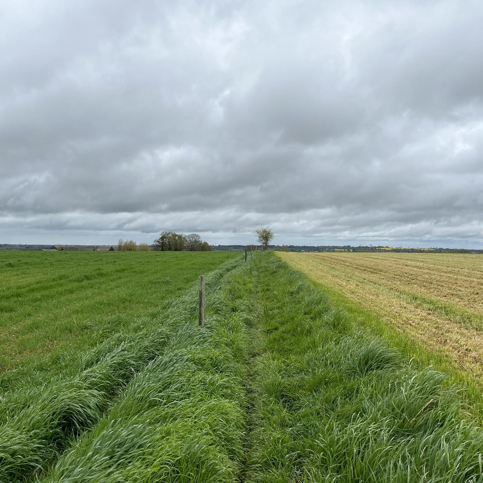
Hiking around Louvigné-De-Bais reveals a landscape characterized by traditional bocage, a mosaic of woodlands, hedgerows, and small fields. The terrain features gentle variations in elevation, ranging from 55 meters in stream valleys to 106 meters south of the town. Water bodies such as the Fouesnel stream and the Étang de Daniel add to the natural features of the area. This region in Brittany offers a network of trails that combine natural exploration with cultural discovery.
Best hiking trails around Louvigné-De-Bais
…Last updated: October 7, 2026
13
hikers
6.01km
01:33
30m
30m
Easy hike. Great for any fitness level. Easily-accessible paths. Suitable for all skill levels.
4.0
(1)
11
hikers
Moderate hike. Good fitness required. Easily-accessible paths. Suitable for all skill levels.

4.5
(2)
8
hikers
18.8km
04:50
90m
90m
Moderate hike. Good fitness required. Easily-accessible paths. Suitable for all skill levels.
3
hikers
6.57km
01:46
80m
80m
Easy hike. Great for any fitness level. Easily-accessible paths. Suitable for all skill levels.
5.0
(1)
5
hikers
7.46km
01:56
50m
50m
Easy hike. Great for any fitness level. Easily-accessible paths. Suitable for all skill levels.
Get access to more routes and recommendations from other explorers.
Already have an account?
Our route recommendations are based on thousands of hikes, rides, and runs completed by other people on komoot.
Start today with a free account
Your next adventure awaits.



Frequently Asked Questions
How many hiking trails are available in Louvigné-De-Bais?
Louvigné-De-Bais and the surrounding Vitré Communauté offer an extensive network of over 80 circuits designed for walking, mountain biking, or horseback riding. These trails provide a blend of natural exploration and cultural discovery.
Are there easy hiking options suitable for beginners or families?
Yes, the region provides a variety of trails for different ability levels. There are 35 easy routes available, perfect for beginners or families. An example is the Étang de Vassé loop from Torcé, which is 6.0 km long and takes about 1 hour 32 minutes to complete.
What kind of landscapes will I encounter on the hiking trails?
You will primarily experience traditional bocage landscapes, characterized by a mosaic of woodlands, hedgerows, and small fields. The terrain features gentle variations in elevation, with streams like the Fouesnel and ponds such as the Étang de Daniel adding to the natural beauty. This pastoral setting offers a tranquil environment to immerse yourself in the Breton countryside.
Are there circular walks available in Louvigné-De-Bais?
Yes, many of the trails in the area are designed as circular routes, allowing you to start and end at the same point. For instance, the Étang de la Touche loop from Chancé is an 18.8 km circular trail that takes you through bocage landscapes.
What historical sites or attractions can I discover on the trails?
The region is rich in historical heritage. Many routes integrate cultural discoveries, including well-preserved manors like Manoir de la Touche and Manoir de Fouesnel. You might also encounter historical quarries, such as the Pigeon quarries, which offer insight into the area's industrial past. Nearby attractions include Châteaugiron Castle and the Château des Pères Sculpture Park.
What do other hikers say about the trails in Louvigné-De-Bais?
The routes in Louvigné-De-Bais are highly rated by the komoot community, with an average score of 4.28 stars from over 160 reviews. More than 1000 hikers have used komoot to explore the varied terrain, often praising the quiet woodlands and well-maintained paths that blend natural beauty with historical elements.
Are there any moderate hiking trails for a longer excursion?
Absolutely. Louvigné-De-Bais offers 43 moderate routes for those looking for a more extended hike. A popular choice is the Étang de la Touche – Château de la Morandière loop from Louvigné-de-Bais, a 10.5 km path that passes by the Étang de la Touche and the historic Château de la Morandière.
Can I bring my dog on the hiking routes in this area?
While specific regulations for dogs can vary by trail and private land, generally, dogs are welcome on many hiking paths in the French countryside, especially if kept on a leash. It's always advisable to check local signage and be respectful of wildlife and other hikers.
What is the best time of year to go hiking in Louvigné-De-Bais?
The region's bocage landscapes are beautiful year-round. Spring and autumn offer pleasant temperatures and vibrant colors, making them ideal for hiking. Summer can also be enjoyable, especially in the shaded woodland areas. Winter hiking is possible, but trails might be muddy, and some facilities could have reduced hours.
Are there any viewpoints or scenic spots along the trails?
Yes, the varied terrain and natural features provide several scenic spots. The Étang de Daniel and the Fouesnel stream offer picturesque views. You can also find a Beautiful viewpoint over the Étang de la Corbière, which is a notable highlight in the area.
Are there any trails that pass by castles or manors?
Many trails in the region are designed to showcase the rich built heritage. For example, the Château de la Morandière loop from La Claie will take you past the historic Château de la Morandière. Other circuits, like the Circuit des Vallons du Ruisseau de la Bichetière, allow glimpses of historical manors such as the Château de la Bichetière and the Manoir de la Recoulais.
What is the typical elevation gain on hikes around Louvigné-De-Bais?
The terrain in Louvigné-De-Bais features gentle variations in elevation, ranging from a low of 55 meters in stream valleys to a high of 106 meters south of the town. Most hikes have moderate elevation gains, making them accessible. For instance, the Château du Val loop from Saint-Didier has an elevation gain of about 75 meters.
Most popular routes around Louvigné-De-Bais
Most popular attractions around Louvigné-De-Bais

Get inspired with the komoot mobile app


Explore more
Browse the best Hikes in other regions.
