The best walks and hikes around Marolles
4.4
(152)
505
hikers
62
hikes
Hiking around Marolles offers access to diverse natural landscapes, primarily characterized by extensive forests and varied terrain. The region features a network of trails suitable for different fitness levels, with some routes exploring areas near significant bodies of water like Lac d'Orient. Elevation gains on trails can range from gentle slopes to ascents of up to 150 meters, providing varied experiences for hikers. These natural features contribute to a rich biodiversity and scenic views throughout the area.
Best hiking trails…
Last updated: November 2, 2026
4.3
(9)
18
hikers
Easy hike. Easily walkable paths.
5.0
(2)
11
hikers
9.29km
02:25
60m
60m
Moderate hike. Good fitness required. Easily walkable paths.

5.0
(1)
6
hikers
Moderate hike. Good fitness required. Easily walkable paths.
5.0
(4)
5
hikers
8.70km
02:20
100m
100m
Moderate hike. Good fitness required. Easily walkable paths.
5.0
(1)
4
hikers
11.5km
03:05
150m
150m
Moderate hike. Good fitness required. Easily walkable paths.
Get access to more routes and recommendations from other explorers.
Already have an account?
Our route recommendations are based on thousands of hikes, rides, and runs completed by other people on komoot.
Start today with a free account
Your next adventure awaits.


Tips from the Community

The Église Saint-Denis in Saint-Denis-de-Mailloc is a small, essentially Romanesque rural church in the Pays d’Auge region, southeast of Lisieux. It was modified over several centuries, particularly in the 15th, 16th, and 18th centuries. Striking features include the slender bell tower, the west facade renewed in the 18th century, and the traditional wooden construction of the nave. Inside, the high altar with its 18th-century altarpiece is particularly noteworthy. There are also side altars dedicated to the Virgin Mary or the Holy Family, and to Saint Hubert. A Confrérie de Charité (Brotherhood of Charity) has existed here since 1685, and parts of its banner and processional items are preserved. The church also houses coats of arms of the chapter of Lisieux, the French royal house, and the de Mailloc family. Some stained glass windows date from the 19th century, including depictions of Saint Denis and Saint Hubert. The current place name refers to the lordship of the de Mailloc family, who played an important role in the church's history. Overall, the church is a good example of the sacred architecture of rural Normandy that has evolved over centuries.
1
0

Castle built in the 17th century converted into a guest house and site for receptions, weddings, seminars and meetings.
0
0


This beautiful 17th century private chateau now serves as a guest house and site for receptions, weddings, seminars and meetings.
0
0
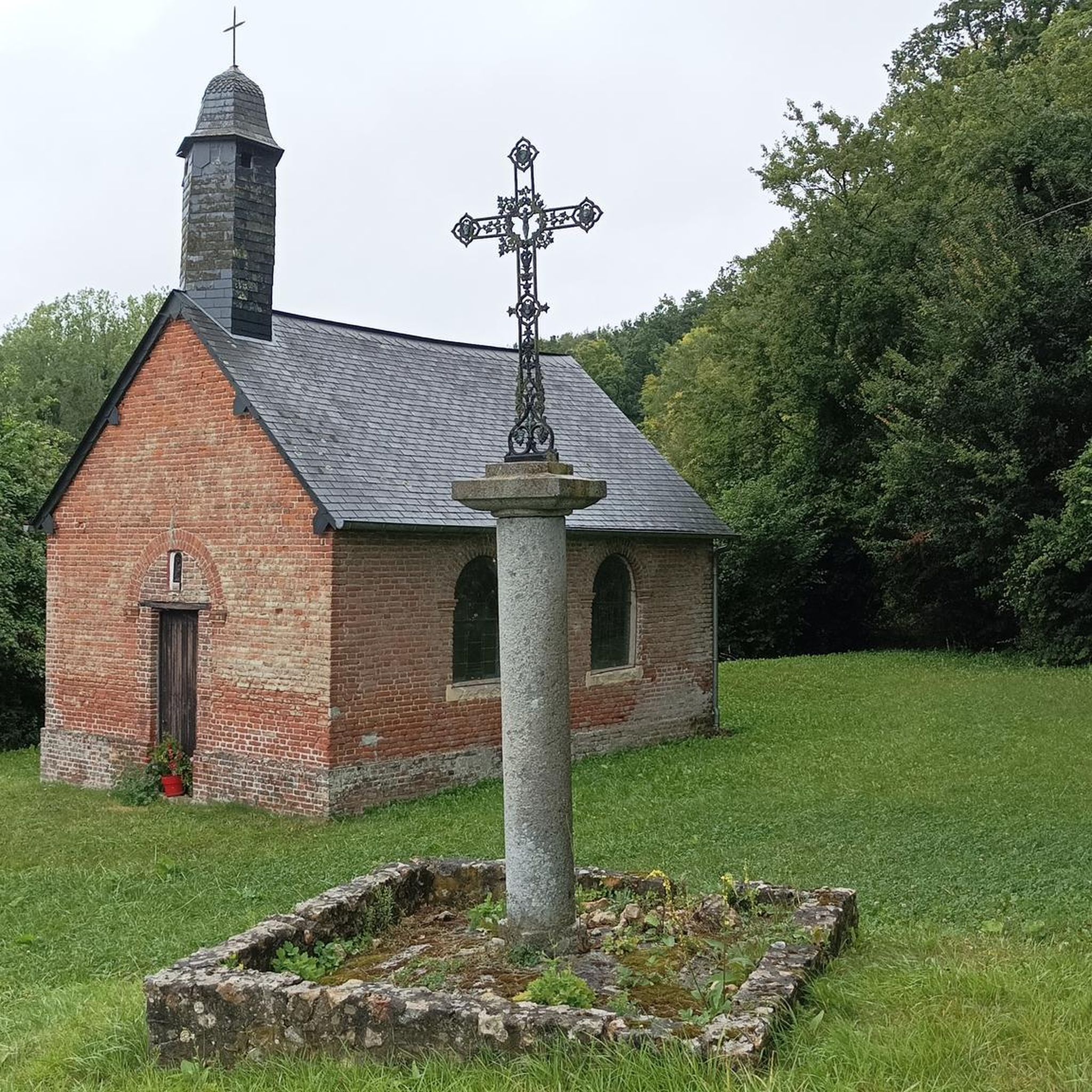
In the small town of Saint-Denis-de-Mailloc, the parish church stands in the middle of the cemetery, in the bucolic setting of the Orbiquet valley.
1
0
Frequently Asked Questions
How many hiking trails are available around Marolles?
There are over 60 hiking routes available around Marolles, offering a variety of experiences for different skill levels. This includes 22 easy routes, 44 moderate routes, and 2 more challenging options.
What kind of terrain can I expect on hikes near Marolles?
Hikes around Marolles feature diverse natural landscapes, primarily characterized by extensive forests and varied terrain. You'll find routes with gentle slopes and ascents up to 150 meters, providing varied experiences. The region is also known for its proximity to significant bodies of water like Lac d'Orient, part of the Forêt d'Orient Regional Natural Park, offering scenic views and rich biodiversity.
What do other hikers say about the trails in Marolles?
The hiking routes in Marolles are highly rated by the komoot community, with an average score of 4.6 stars from over 100 reviews. Hikers often praise the varied terrain, extensive forests, and the network of trails suitable for different ability levels.
Are there easy hiking options in Marolles?
Yes, Marolles offers 22 easy hiking routes. An example is the Hermival Castle – Thatched Half-Timbered Cottage loop from Hermival-les-Vaux, a 3.0-mile (4.8 km) trail that provides a gentle exploration of the local landscape.
Are there circular hiking routes in Marolles?
Many of the trails around Marolles are designed as loops, making them convenient for day trips. For instance, the La Paquine, L'Hôtellerie loop from Piencourt is a moderate 5.8-mile (9.3 km) circular path with varied terrain.
What natural features or landmarks can I see while hiking?
While hiking around Marolles, you can explore extensive forests and varied terrain. The broader region, particularly if you venture towards areas like Lac d'Orient, offers beautiful lakeside environments and wetlands. Additionally, the Hauts-de-France region is home to several Regional Natural Parks known for diverse landscapes including forests and hedgerows. For more information on the region's natural beauty, you can visit Hauts-de-France Tourism.
Are there any castles or historical sites to explore near the trails?
Yes, there are several interesting historical sites and landmarks nearby. You can visit Saint-Germain-de-Livet Castle or Hermival Castle. The Basilica of Saint Thérèse is also a notable historical site in the vicinity.
What is the best time of year to go hiking in Marolles?
The diverse landscapes of Marolles, with its forests and varied terrain, are enjoyable throughout much of the year. Spring and autumn offer pleasant temperatures and beautiful foliage, while summer provides longer daylight hours. Winter hiking is also possible, though conditions may vary, especially on trails with higher elevation changes.
Is there parking available at the trailheads?
While specific parking details for every trailhead are not provided, many popular hiking areas in France, especially those within or near natural parks, typically offer designated parking facilities. It's advisable to check individual route descriptions on komoot for specific parking information before you go.
Are there family-friendly walks suitable for children?
Yes, the region offers several easy routes that are suitable for families. The Hermival Castle – Thatched Half-Timbered Cottage loop from Hermival-les-Vaux is an easy 3.0-mile (4.8 km) trail that is a good option for families looking for a gentle walk.
Can I bring my dog on the trails around Marolles?
Many natural areas and hiking trails in France are dog-friendly, especially if dogs are kept on a leash. However, regulations can vary, particularly within protected areas like regional natural parks. It's always best to check local signage or specific route details to confirm if dogs are permitted on a particular trail.
Are there any challenging hiking trails in Marolles?
While the majority of trails are easy to moderate, there are 2 routes classified as difficult for those seeking a greater challenge. These trails typically feature more significant elevation gains, with some routes having ascents up to 150 meters, and cover longer distances.
Most popular attractions around Marolles

Get inspired with the komoot mobile app


Explore more
Browse the best Hikes in other regions.
