The best walks and hikes around Saint-Hilaire-Sous-Charlieu
4.5
(96)
563
hikers
100
hikes
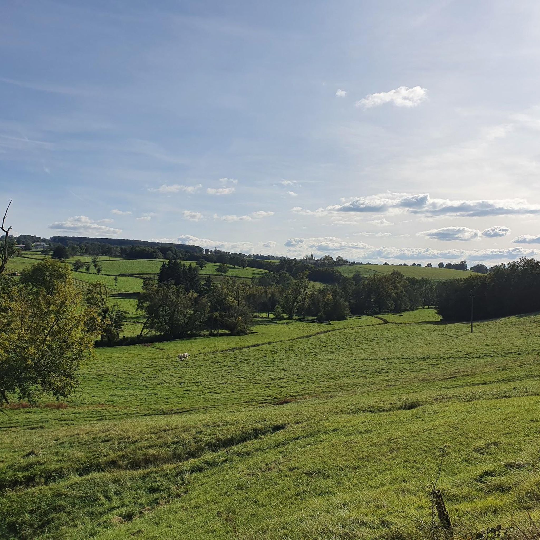
Hiking around Saint-Hilaire-Sous-Charlieu offers exploration through a landscape characterized by rolling hills that provide expansive views of the Roanne plain and the distant Monts de la Madeleine. The Chandonnet river and its tributaries carve out picturesque valleys, contributing to the area's natural charm. The elevation within the commune ranges from 368m to 454m, creating varied inclines and panoramic vistas. This region in the Loire department features a variety of trails suitable for different skill levels.
Best hiking trails in Saint-Hilaire-Sous-Charlieu
…Last updated: May 12, 2026
4.0
(2)
12
hikers
16.4km
04:32
300m
300m
Moderate hike. Good fitness required. Easily-accessible paths. Suitable for all skill levels.
5.0
(1)
5
hikers
4.84km
01:20
80m
80m
Easy hike. Great for any fitness level. Easily-accessible paths. Suitable for all skill levels.

Sign up for free
5.0
(1)
9
hikers
7.29km
01:58
90m
90m
Easy hike. Great for any fitness level. Easily-accessible paths. Suitable for all skill levels.
3.8
(4)
13
hikers
Moderate hike. Good fitness required. Easily-accessible paths. Suitable for all skill levels.
5
hikers
7.35km
02:00
100m
100m
Easy hike. Great for any fitness level. Easily-accessible paths. Suitable for all skill levels.
Get access to more routes and recommendations from other explorers.
Sign up for free
Already have an account?
Our route recommendations are based on thousands of hikes, rides, and runs completed by other people on komoot.
Start today with a free account
Your next adventure awaits.
Login or Signup
Tips from the Community


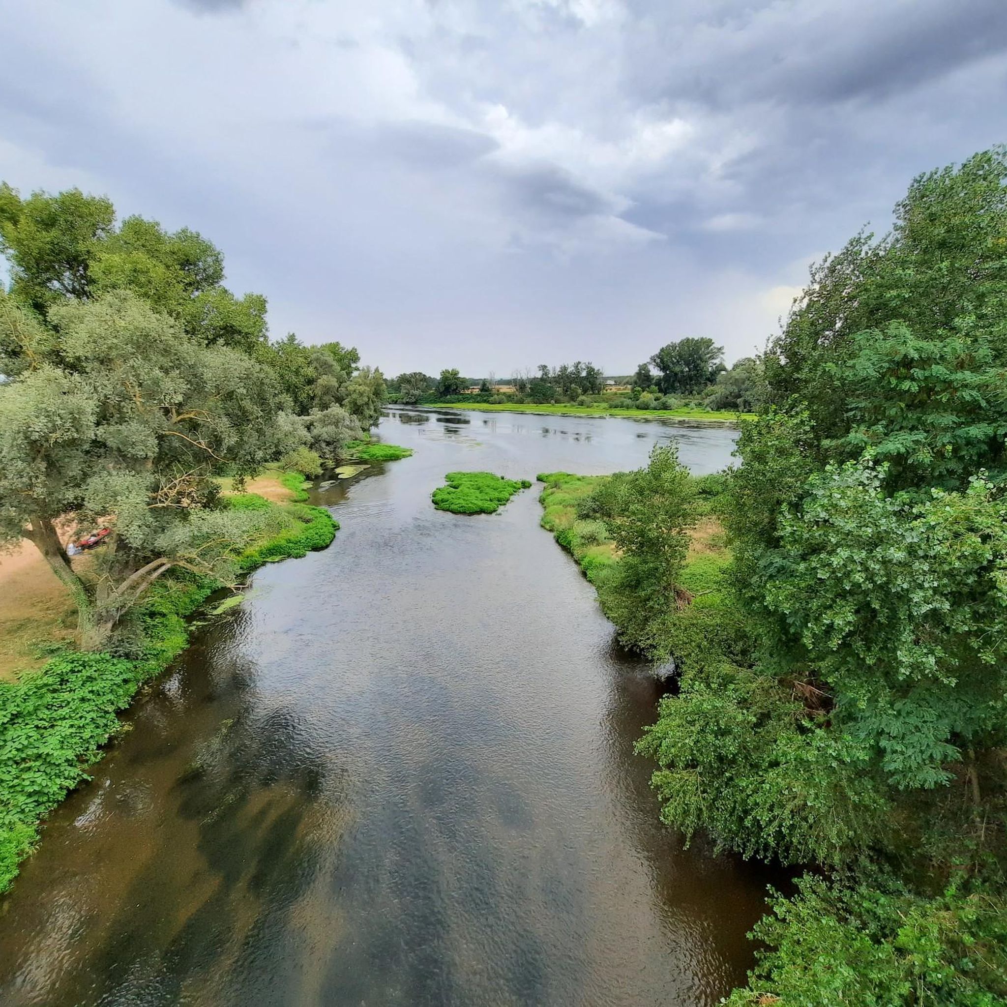
There are several picnic tables and trash cans. The horse also loves the large meadow.
0
0

Wonderful stage stop on my Camino https://huettemann.eu/de/2023/10/von-cluny-an-die-loire-berndscamino/
0
0
Wonderful stage stop on my Camino https://huettemann.eu/de/2023/10/von-cluny-an-die-loire-berndscamino/
0
0
Wonderful stage stop on my Camino https://huettemann.eu/de/2023/10/von-cluny-an-die-loire-berndscamino/
0
0
Wonderful stage stop on my Camino https://huettemann.eu/de/2023/10/von-cluny-an-die-loire-berndscamino/
0
0
Wonderful stage stop on my Camino https://huettemann.eu/de/2023/10/von-cluny-an-die-loire-berndscamino/
0
0

In the wedding room, magnificent 18th century Aubusson tapestries
2
0
Frequently Asked Questions
How many hiking trails are available in Saint-Hilaire-Sous-Charlieu?
There are over 100 hiking routes available around Saint-Hilaire-Sous-Charlieu, catering to various preferences and skill levels. You'll find a good mix of easy, moderate, and some more challenging options.
What kind of landscapes can I expect to see while hiking in this region?
The landscape around Saint-Hilaire-Sous-Charlieu is characterized by rolling hills offering expansive views of the Roanne plain and the distant Monts de la Madeleine. The Chandonnet river and its tributaries carve out picturesque valleys, adding to the natural charm. You'll also find trails passing through local flora and near historical sites.
Are there easy hiking options suitable for families or beginners?
Yes, Saint-Hilaire-Sous-Charlieu offers plenty of easy hiking options, with over 30 routes classified as easy. These are perfect for families or those looking for a relaxed walk. For example, the Stone bridge loop from Charlieu is an easy 4.8 km trail.
Are there any challenging hikes for experienced hikers?
While the majority of trails are easy to moderate, there are about 10 more challenging routes for experienced hikers seeking a greater workout. These typically feature more significant elevation changes and longer distances.
What do other hikers enjoy most about the trails in Saint-Hilaire-Sous-Charlieu?
The trails in Saint-Hilaire-Sous-Charlieu are highly rated by the komoot community, with an average score of 4.5 stars from over 90 reviews. Hikers often praise the diverse landscapes, the panoramic views, and the opportunity to combine nature with historical discoveries.
Are there circular hiking routes available?
Yes, many of the trails around Saint-Hilaire-Sous-Charlieu are circular, allowing you to start and end at the same point. Local circuits like the 'Chemin du Grand Couvert' or the 'Grand tour' are designed as loops, providing convenient exploration.
Can I bring my dog on the hiking trails?
Generally, dogs are welcome on most public hiking trails in France, provided they are kept on a leash and you clean up after them. It's always a good idea to check specific local regulations or signage at trailheads, especially in nature reserves or protected areas, but for general hiking, it should be fine.
Are there any historical sites or cultural attractions to see along the trails?
Absolutely. The region is rich in history. Many trails lead to or pass by significant sites such as the medieval town of Charlieu, known for its Benedictine Abbey. You might also encounter the La Bénisson-Dieu Abbey or the charming Briennon marina on the Canal de Roanne à Digoin.
Where can I find panoramic views of the region?
The elevated position of Saint-Hilaire-Sous-Charlieu naturally offers stunning panoramic views. The area around the Grand Couvert des Perches is particularly noted for its exceptional environment and the views it provides over the Roanne plain and the Monts de la Madeleine. The Saint-Hilaire-sous-Charlieu – Le Grand Couvert des Perches loop is a great option for this.
Are there trails along water bodies or canals?
Yes, the Chandonnet river and its tributaries create picturesque valleys for exploration. Additionally, the nearby Canal de Roanne à Digoin offers tranquil walks along its banks, which are rich in diverse flora and fauna. The Briennon marina is a pleasant spot for walks along the water.
What is the best time of year to go hiking in Saint-Hilaire-Sous-Charlieu?
The spring and autumn months generally offer the most pleasant hiking conditions with mild temperatures and beautiful scenery. Spring brings blooming flora, while autumn showcases vibrant foliage. Summer can also be enjoyable, but it's advisable to start early to avoid the midday heat.
How can I find parking near the trailheads?
Many trailheads in and around Saint-Hilaire-Sous-Charlieu, especially those starting from villages or popular attractions like Charlieu, typically have designated parking areas. It's recommended to check the starting point of your chosen route on komoot for specific parking information.
Where can I find more information about the commune of Saint-Hilaire-Sous-Charlieu?
For additional information about the commune, including local services and attractions, you can visit the official tourism website for the area: charlieubelmont-tourisme.com.
Most popular routes around Saint-Hilaire-Sous-Charlieu
Most popular attractions around Saint-Hilaire-Sous-Charlieu

Get inspired with the komoot mobile app


Explore more
Browse the best Hikes in other regions.
