The best road cycling routes around Fontcouverte
4.3
(81)
2,436
riders
417
rides
Road cycling routes around Fontcouverte traverse a landscape characterized by the Charente River valley and surrounding agricultural lands. The region features gentle rolling hills, providing varied terrain suitable for road cyclists. Historical sites and small villages are often encountered along the routes, adding to the scenic appeal.
Best road cycling routes around Fontcouverte
- The most popular road cycling route is Cathedral of Saintes – View of the Charente River loop from Saintes, a 39.3 miles (63.2 km) trail that…
Last updated: November 1, 2026
3.5
(2)
83
riders
29.8km
01:24
200m
200m
Easy road ride. Mostly well-paved surfaces and easy to ride.
3.0
(1)
39
riders
90.9km
03:54
440m
440m
Moderate road ride. Good fitness required. Some segments of this route may be unpaved and difficult to ride.

5.0
(1)
25
riders
60.5km
02:40
410m
410m
Moderate road ride. Good fitness required. Mostly well-paved surfaces and easy to ride.
4.0
(1)
22
riders
63.2km
02:48
460m
460m
Moderate road ride. Good fitness required. Mostly well-paved surfaces and easy to ride.
5.0
(1)
23
riders
81.3km
03:33
500m
500m
Moderate road ride. Good fitness required. Some segments of this route may be unpaved and difficult to ride.
Get access to more routes and recommendations from other explorers.
Already have an account?
Our route recommendations are based on thousands of hikes, rides, and runs completed by other people on komoot.
Start today with a free account
Your next adventure awaits.

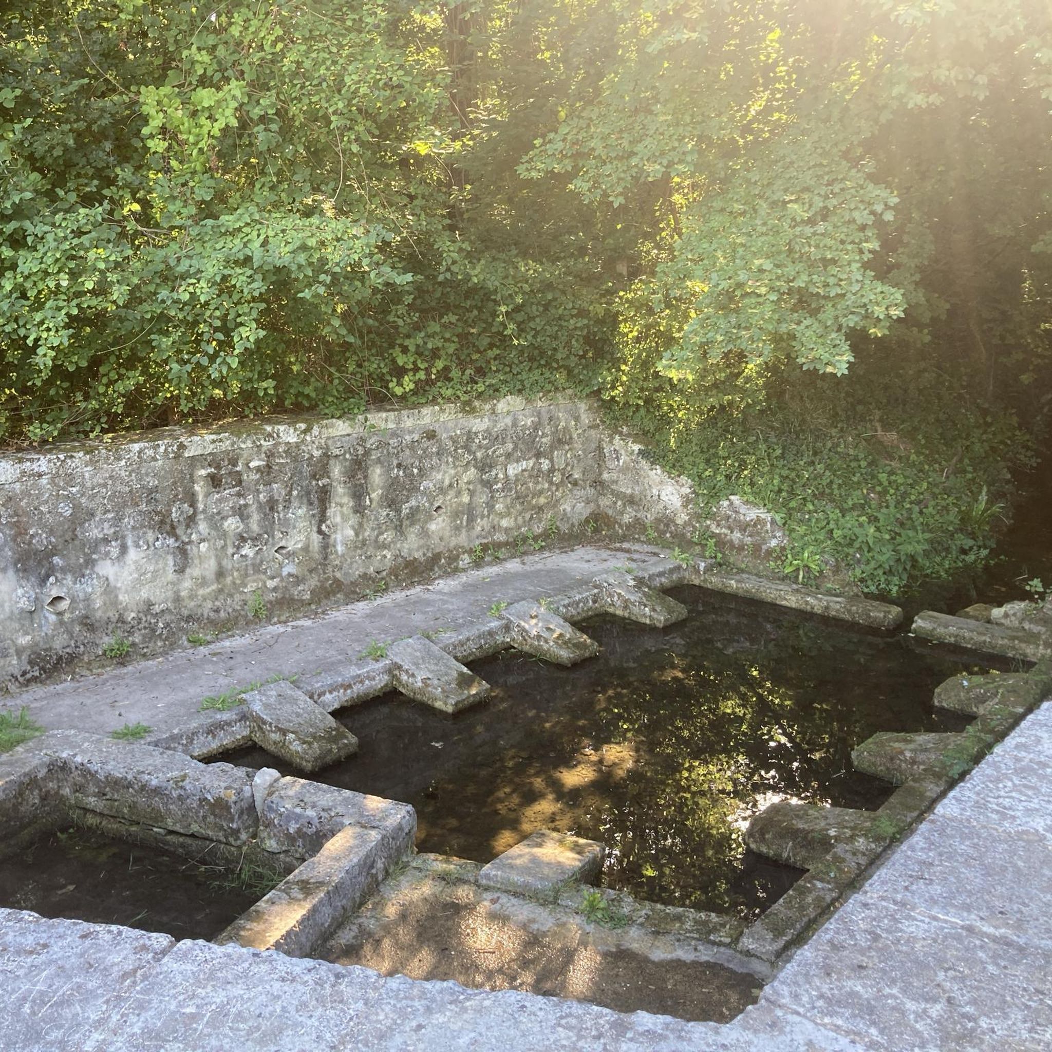

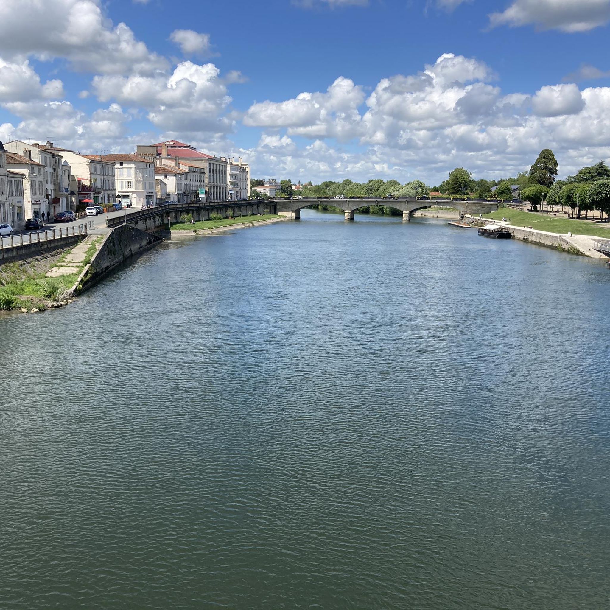
Tips from the Community

🏛️ Construction: 18-19 AD The arch was built around 18-19 AD, during the reign of Emperor Tiberius. It stood at the entrance to the Roman bridge crossing the Charente, at the outlet of the Via Agrippa, which connected Lyon to Saintes. It is therefore not truly a "triumphal arch": it was both a road monument and a monumental gate marking the entrance to Mediolanum Santonum, the capital of Roman Aquitaine. 👤 Who had it built? The arch was financed by Caius Julius Rufus, a Romanized notable from Saintonge. He dedicated it to Tiberius as well as his nephew Germanicus. The inscriptions engraved on the entablature still allow us today to know the figures to whom it was dedicated. The name "Arch of Germanicus" therefore comes from this dedication, and not from the fact that Germanicus personally had the arch built or crossed it. 🏗️ A rather exceptional monument The arch has two bays, likely allowing for the differentiation of traffic flows. It measures approximately 15 m high by 16 m wide. Its Corinthian and composite capitals bear witness to particularly meticulous Roman architecture. It constituted a true demonstration of the power and Romanization of Saintes. ⚠️ The moment the arch almost disappeared This is probably the most interesting episode in its history. For centuries, the arch was always located at the level of the Roman bridge and then the medieval bridge, on the right bank of the Charente. In the 19th century, the old bridge had become dilapidated. When it was decided to demolish it, around 1843, the arch was also threatened with destruction. It was then that Prosper Mérimée, Inspector General of Historical Monuments, intervened. He advocated for its preservation and arranged for its dismantling, relocation, and reassembly on the new bank. Another figure is also associated with this preservation: Victor Hugo, who stayed in Saintes in September 1843 and intervened in favor of the monument's conservation with Mérimée. 📍 Why is the arch no longer exactly in its ancient location? The arch we see today, on Place Bassompierre, is therefore no longer in its original location. It was moved a few dozen meters during the transformation of the quays and the disappearance of the old bridge. It was dismantled stone by stone and then reassembled in order to preserve it. It is now located in the immediate vicinity of the ancient Roman bridge crossing. 🏛️ Protection The Arch of Germanicus was finally classified as a historical monument in July 1905. An interesting detail The Crazannes quarries, located near Saintes, supplied a limestone widely used in the region's ancient constructions. Crazannes stone was notably used for monuments such as the Arch of Germanicus. In summary: 18-19 → construction of the arch at the entrance to the Roman bridge ↓ Antiquity → Middle Ages → the arch remains associated with the crossing of the Charente ↓ 1843 → demolition of the old bridge and threat to the arch ↓ 1843-1844 → Mérimée's intervention and relocation of the arch ↓ 1905 → classified as a Historical Monument
0
0

Exceptional view, the most beautiful village in France.
0
0

It is an absolutely beautiful village.
0
0

Small town with a special charm along the Charente.
0
0

The Abbaye-aux-Dames is built around the church of Sainte-Marie, built in the twelfth century. Famous for its facade and its characteristic "pinecone" bell tower, it is one of the emblematic monuments of Saintonge's Romanesque art. After several wars and fires, the place was restored in the 1970s and 1980s and is now a hotel. When you walk through the long corridors you feel like you have been transported back to the time when the abbey was still alive.
4
0


Testimony of the past. Market place
0
0

A former Benedictine abbey created in 1047, Abbaye-aux-Dames was the first women's monastery in Saintonge. These powerful women were nuns, that is to say, nuns living cloistered and having taken a vow of piety, occupying their lives in contemplation. They carried the crosier, in other words the pastoral staff of a bishop, and minted coins. Richly endowed, the abbey carried its influence well beyond the borders of the county and over time it became one of the most powerful women's monasteries in all of South-West France. With up to a hundred nuns at its peak, it was entrusted with the mission of instructing young girls, often from the French nobility, and counted among its most illustrious residents the future Marquise de Montespan, favorite of Louis XIV. The Abbaye-aux-Dames is structured around the Sainte-Marie church, built in the 12th century, famous for its facade and its characteristic “pine cone” bell tower. The premises were restored during the 1970s and 1980s and now house a Cité de la musique in which the Saintes Festival dedicated to classical music takes place each year. You can also stay in a wing of the building, the cells having been converted into hotel rooms, and leave your bike in a secure room.
0
0
Frequently Asked Questions
How many road cycling routes are available around Fontcouverte?
There are over 400 road cycling routes in the Fontcouverte area, offering a wide range of options for cyclists of all abilities.
Are there easy road cycling routes suitable for beginners in Fontcouverte?
Yes, Fontcouverte offers over 100 easy road cycling routes. A great option for beginners is the Saint Saturnin of Séchaud – Abbaye aux Dames de Saintes loop from Saintes, which is 40.6 km long with manageable elevation changes.
What are some challenging road cycling routes in the Fontcouverte region?
While the region is known for its gentle rolling hills, there are 9 routes classified as difficult for those seeking a greater challenge. These routes typically feature more significant elevation gains and longer distances.
Are there any long-distance road cycling routes around Fontcouverte?
Many routes around Fontcouverte offer substantial distances. For example, the Abbaye aux Dames de Saintes – Estuary front loop from Saintes covers approximately 80.5 km, providing a longer ride through varied landscapes.
What kind of scenery can I expect on road cycling routes near Fontcouverte?
Road cycling routes around Fontcouverte are characterized by the picturesque Charente River valley, expansive agricultural lands, and charming small villages. You'll often encounter historical sites and gentle rolling hills, providing a diverse and scenic backdrop for your ride.
Are there circular road cycling routes available?
Yes, many of the road cycling routes in the Fontcouverte area are designed as loops, allowing you to start and finish at the same point. Examples include the Cathedral of Saintes – View of the Charente River loop from Saintes and the Crazannes Castle – Saint-Savinien-sur-Charente loop from Saintes.
What historical landmarks or attractions can I see along the road cycling routes?
The region is rich in history. You can cycle past significant sites such as the Abbaye aux Dames de Saintes, the Saint-Pierre Cathedral (Saintes), and Crazannes Castle. The Abbaye aux Dames de Saintes – Fenioux loop from Saintes is a great route to experience some of these historical highlights.
What do other road cyclists enjoy most about road cycling in Fontcouverte?
The Fontcouverte area is highly rated by the komoot community, with an average score of 4.4 stars from over 60 reviews. Cyclists often praise the varied terrain, the scenic views of the Charente River, and the opportunity to explore historical landmarks and quiet rural landscapes.
Are there routes that pass through towns or villages where I can find food stops?
Many routes in the Fontcouverte area connect charming villages and towns, such as Saint-Savinien-sur-Charente. These locations often provide opportunities for refreshments, local cuisine, and rest stops during your ride.
When is the best time of year for road biking in Fontcouverte?
The spring and autumn months generally offer the most pleasant conditions for road cycling in Fontcouverte, with mild temperatures and less crowded routes. Summer can also be enjoyable, though it's advisable to start earlier in the day to avoid the midday heat.
Where are common starting points for road cycling routes in the Fontcouverte area?
Many popular road cycling routes in the region, including those mentioned in this guide, frequently start from the larger town of Saintes, which offers good access and amenities. However, you can join routes from various points within the Fontcouverte area depending on your preference.
Most popular routes around Fontcouverte
Most popular attractions around Fontcouverte

Get inspired with the komoot mobile app


Explore more
Browse the best Road cycling routes in other regions.
