The best running trails around Montautour
4.3
(41)
1,765
runners
66
runs
Jogging routes around Montautour offer diverse terrain in the Ille-et-Vilaine department. The region is characterized by its elevated position, providing panoramic views of the surrounding bocage. Joggers can explore dedicated greenways, tranquil pond-side paths, and circuits through local countryside, including "chemins creux" (hollow paths). This variety provides options for different running preferences and fitness levels.
Best jogging routes around Montautour
- The most popular jogging route is Guinguette de Villanfray – Cantache Pond loop from Châtillon-en-Vendelais, an 18.6 miles (29.9…
Last updated: May 24, 2026
39
runners
10.1km
01:03
70m
70m
Moderate run. Good fitness required. Mostly paved surfaces. Suitable for all skill levels.
34
runners
14.3km
01:29
90m
90m
Moderate run. Good fitness required. Mostly paved surfaces. Suitable for all skill levels.

Sign up for free
17
runners
16.1km
01:40
90m
90m
Hard run. Very good fitness required. Mostly paved surfaces. Suitable for all skill levels.
13
runners
10.9km
01:07
40m
40m
Moderate run. Good fitness required. Mostly paved surfaces. Suitable for all skill levels.
10
runners
15.5km
01:40
100m
100m
Hard run. Very good fitness required. Mostly paved surfaces. Suitable for all skill levels.
Get access to more routes and recommendations from other explorers.
Sign up for free
Already have an account?
Our route recommendations are based on thousands of hikes, rides, and runs completed by other people on komoot.
Start today with a free account
Your next adventure awaits.
Login or Signup


Tips from the Community

Bird watching possible!
0
0

This Guinguette de Villanfray is a superb spot for a break in the shade, a drink or a snack, and even a game of pétanque. I recommend this relaxing spot with a view of the Château de Villanfray.
0
0


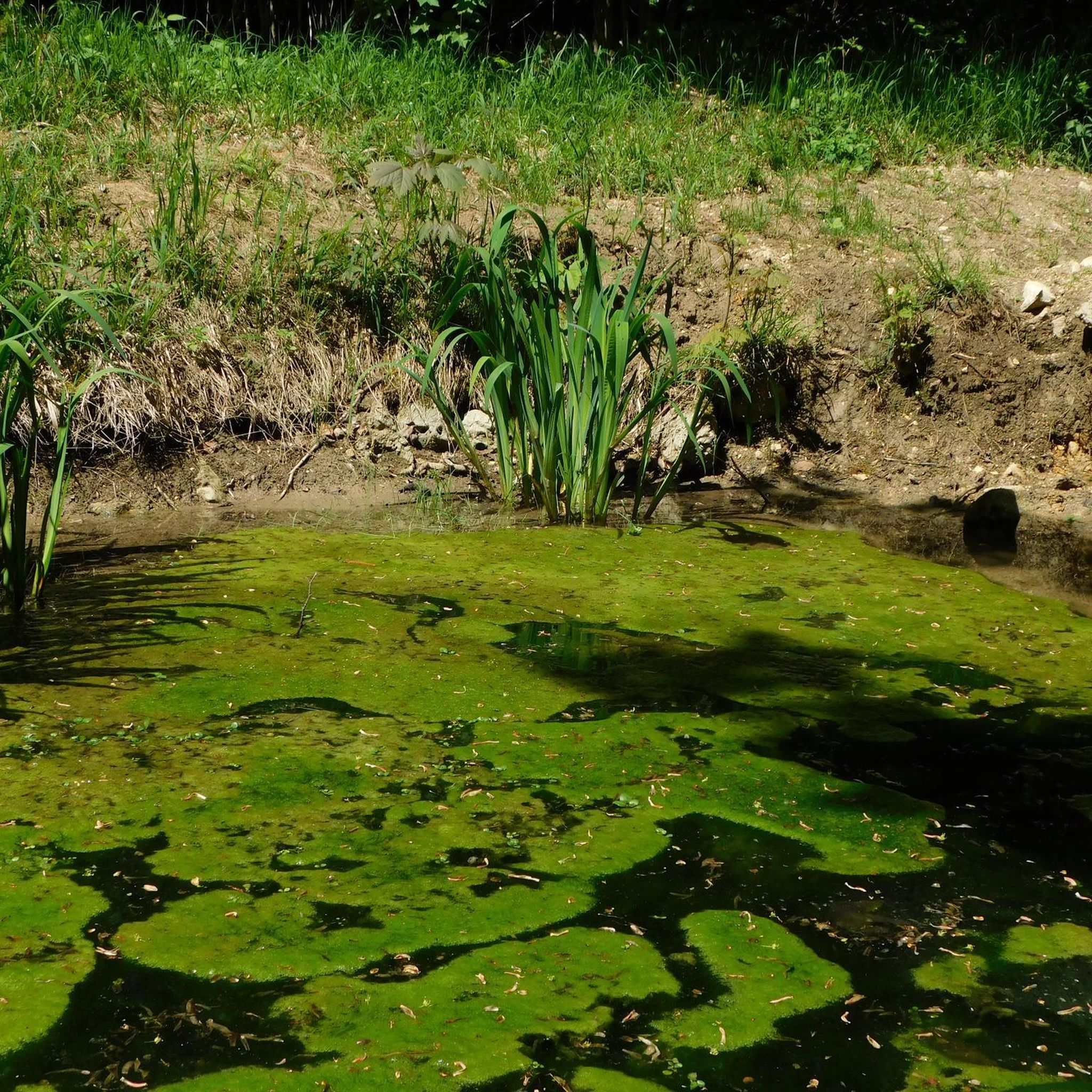
The Cantache pond is a relatively recent creation, created in 1995 by the creation of the Cantache dam built the same year.
3
0

The unmissable Cantache lake, which unfortunately, road cyclists, you'll only see from the road 😅. You'll need to put on your 30mm tires to be able to go around and enjoy the trails that wind around this reservoir. Sincerely 🫶
1
0
Frequently Asked Questions
How many running routes are available around Montautour?
Montautour offers a good selection of running routes, with nearly 60 different trails available for exploration. These routes cater to various fitness levels, ranging from easy strolls to more challenging long-distance runs.
Are there easy or beginner-friendly running routes in Montautour?
Yes, Montautour has several routes suitable for beginners or those looking for an easier run. There are 3 easy routes and 43 moderate routes, providing plenty of options for a less strenuous experience. For example, the local 'Haut-Perché à Montautour' guided walks offer circuits of 3km or 7km along 'chemins creux', which are great for a gentle jog.
Can I find circular running routes in the Montautour area?
Yes, many of the running routes around Montautour are circular, allowing you to start and finish in the same location. A popular option is the Running loop from Le Bas Val, a 9.5 km trail that takes about an hour to complete and leads through the local countryside.
What kind of terrain can I expect on jogging trails near Montautour?
The jogging trails near Montautour offer diverse terrain. You'll find dedicated greenways like the Fougères–Vitré Greenway, which provides a flat, smooth gravel surface ideal for running. Other routes traverse tranquil pond-side paths, 'chemins creux' (hollow paths) through the local countryside, and trails through forests. The area's elevated position also means some routes offer panoramic views of the surrounding bocage.
Are there any scenic spots or landmarks to see while running in Montautour?
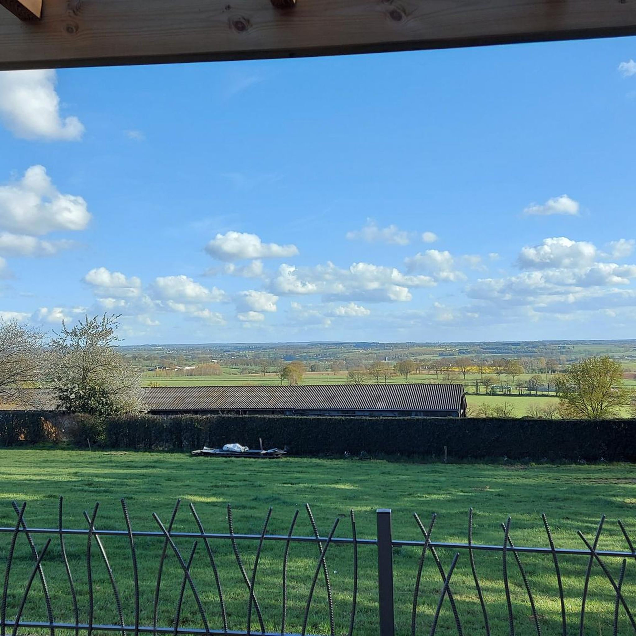
Absolutely! Montautour's elevated position provides exceptional panoramic views. You can enjoy sights of up to 32 church steeples from La Butte de Montautour, a classified natural site. Many routes also pass by beautiful ponds such as Cantache Pond, Étang de Châtillon-en-Vendelais, and Étang de Haute-Vilaine. The Fougères–Vitré Greenway itself is a scenic highlight, and you might even spot historical sites like Vitré Castle or Notre-Dame Church in nearby towns.
Are the running trails around Montautour suitable for families?
Yes, many trails are suitable for families, especially the shorter, easier circuits. The local 'Haut-Perché à Montautour' guided walks, with 3km and 7km options, are a good choice. The Fougères–Vitré Greenway is also excellent for families due to its flat, traffic-free surface and numerous picnic tables.
Can I bring my dog on the running trails in Montautour?
Generally, dogs are welcome on many outdoor trails in the Montautour region, especially in natural areas like forests and around ponds. However, it's always recommended to keep your dog on a leash, especially in protected natural sites or areas with livestock, and to clean up after them. Specific rules may apply to certain parks or reserves, so check local signage.
Is there public transport access to the running routes in Montautour?
While Montautour is a rural area, public transport options might be limited directly to trailheads. It's advisable to check local bus services connecting to Montautour or nearby towns like Châtillon-en-Vendelais or Vitré, from where you might be able to access some routes. For many trails, driving and parking are the most convenient options.
Where can I find parking near the jogging routes in Montautour?
Parking is generally available in Montautour village and near popular starting points for trails. For routes around ponds like Étang de Châtillon-en-Vendelais or Étang de la Cantache, you can often find designated parking areas. The Fougères–Vitré Greenway also has parking access points along its length.
What is the best time of year for jogging in Montautour?
Spring and autumn are often considered the best times for jogging in Montautour, offering pleasant temperatures and beautiful scenery. Spring brings blooming nature, while autumn showcases vibrant foliage. Summer can be warm, so early morning or late evening runs are preferable. Winter jogging is possible, but trails might be muddy or slippery, especially in 'chemins creux'.
Are there cafes or places to eat near the running trails in Montautour?
While Montautour itself is a small village, you can find amenities in nearby towns. For example, the Guinguette de Villanfray is a cafe located near Cantache Pond, which is a starting point for the popular Guinguette de Villanfray – Cantache Pond loop. Larger towns like Vitré or Fougères, accessible via the greenway, offer more dining and accommodation options.
What do other runners say about the trails in Montautour?
The running routes in Montautour are highly regarded by the komoot community, with an average rating of 4.4 stars from over 40 reviews. Runners often praise the diverse terrain, the scenic views of the bocage, and the tranquility of the pond-side and forest trails. Over 2000 runners have used komoot to explore the varied landscape of Montautour.
Are there any long-distance running options around Montautour?
Yes, for those seeking longer runs, Montautour offers several challenging options. The Guinguette de Villanfray – Cantache Pond loop from Châtillon-en-Vendelais is a significant 29.9 km (18.6 miles) trail, taking over 3 hours to complete. Another difficult option is Les roches du Saut Roland loop from Châtillon-en-Vendelais, which spans 15.5 km (9.6 miles).
Most popular routes around Montautour
Most popular attractions around Montautour

Get inspired with the komoot mobile app


Explore more
Browse the best Running Trails & Routes in other regions.
