The best running trails around Izernore
4.4
(34)
1,026
runners
17
runs
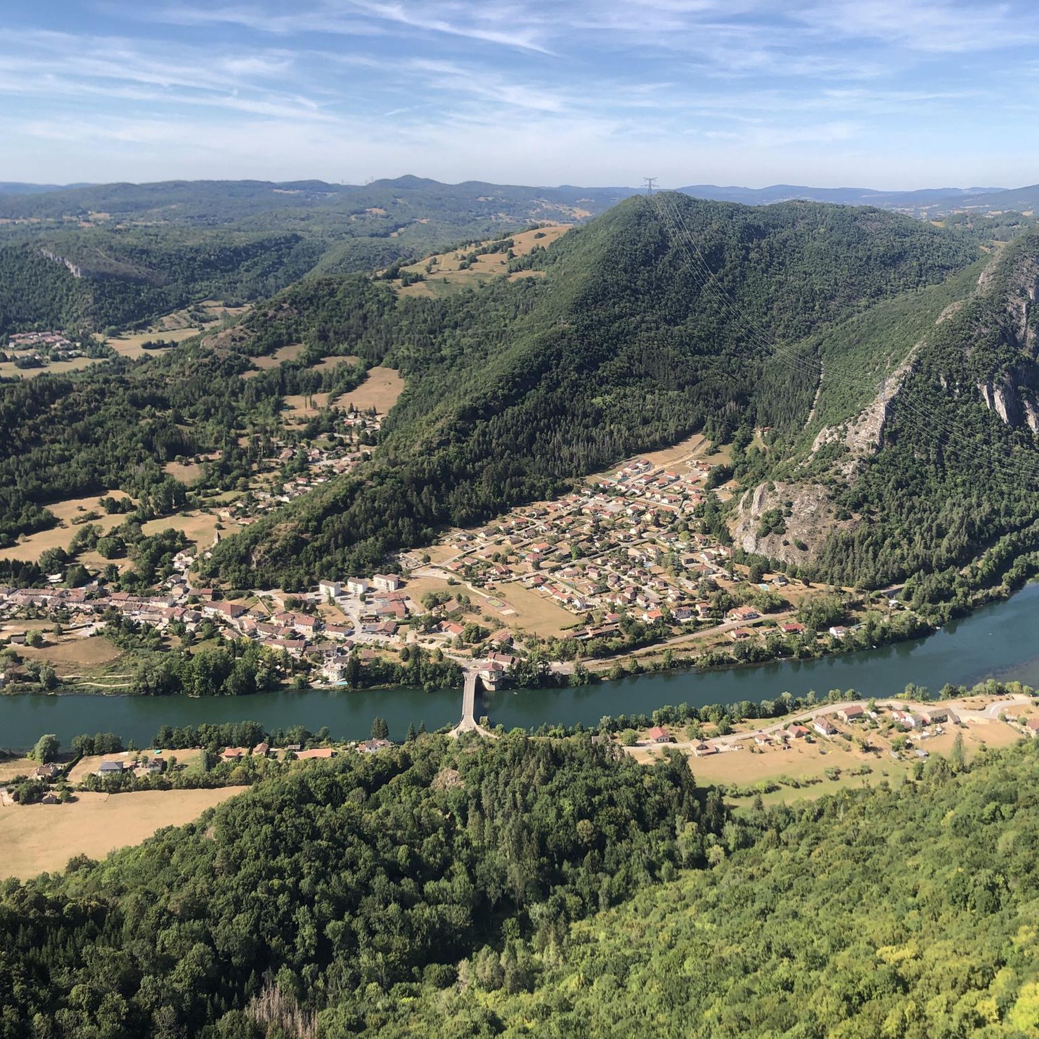
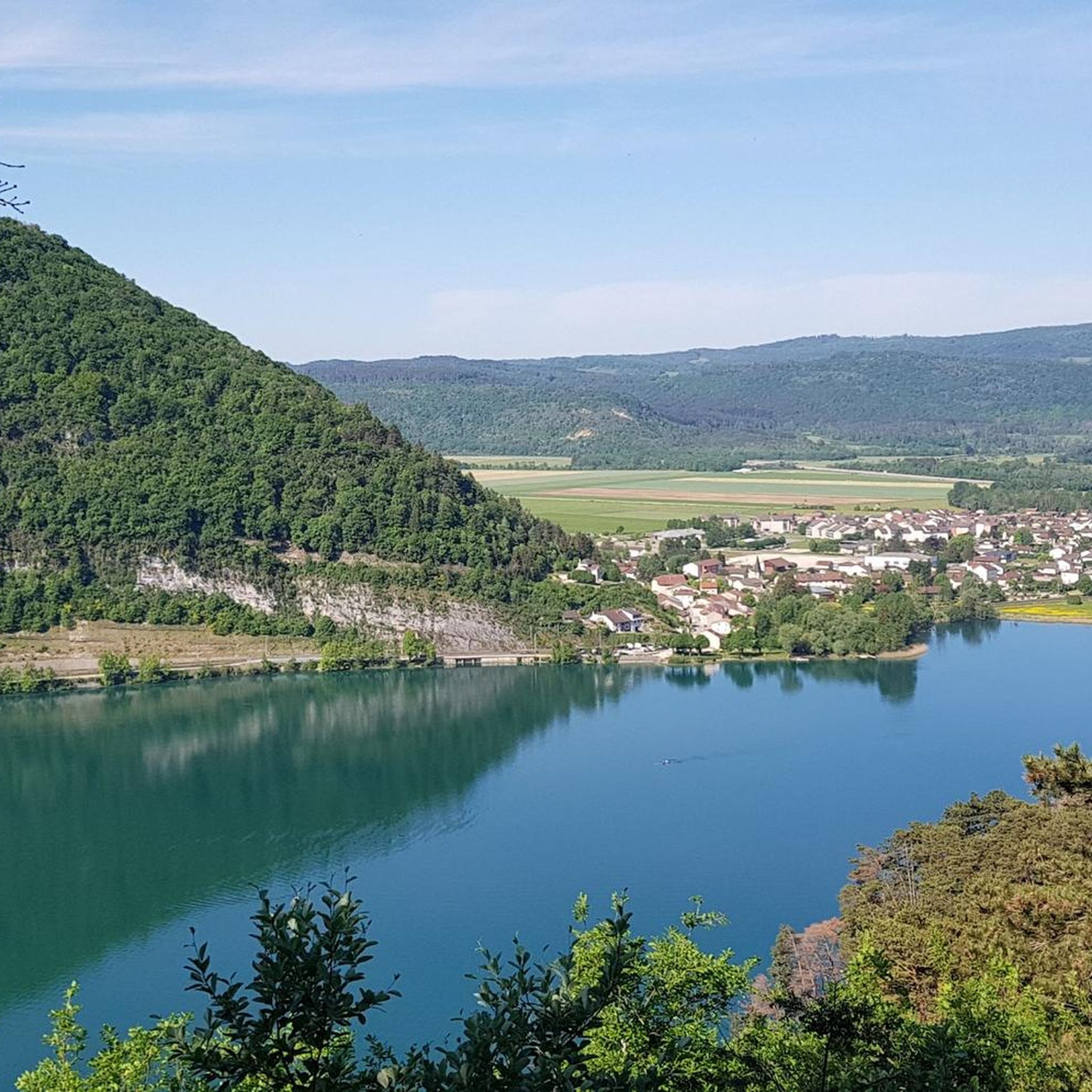
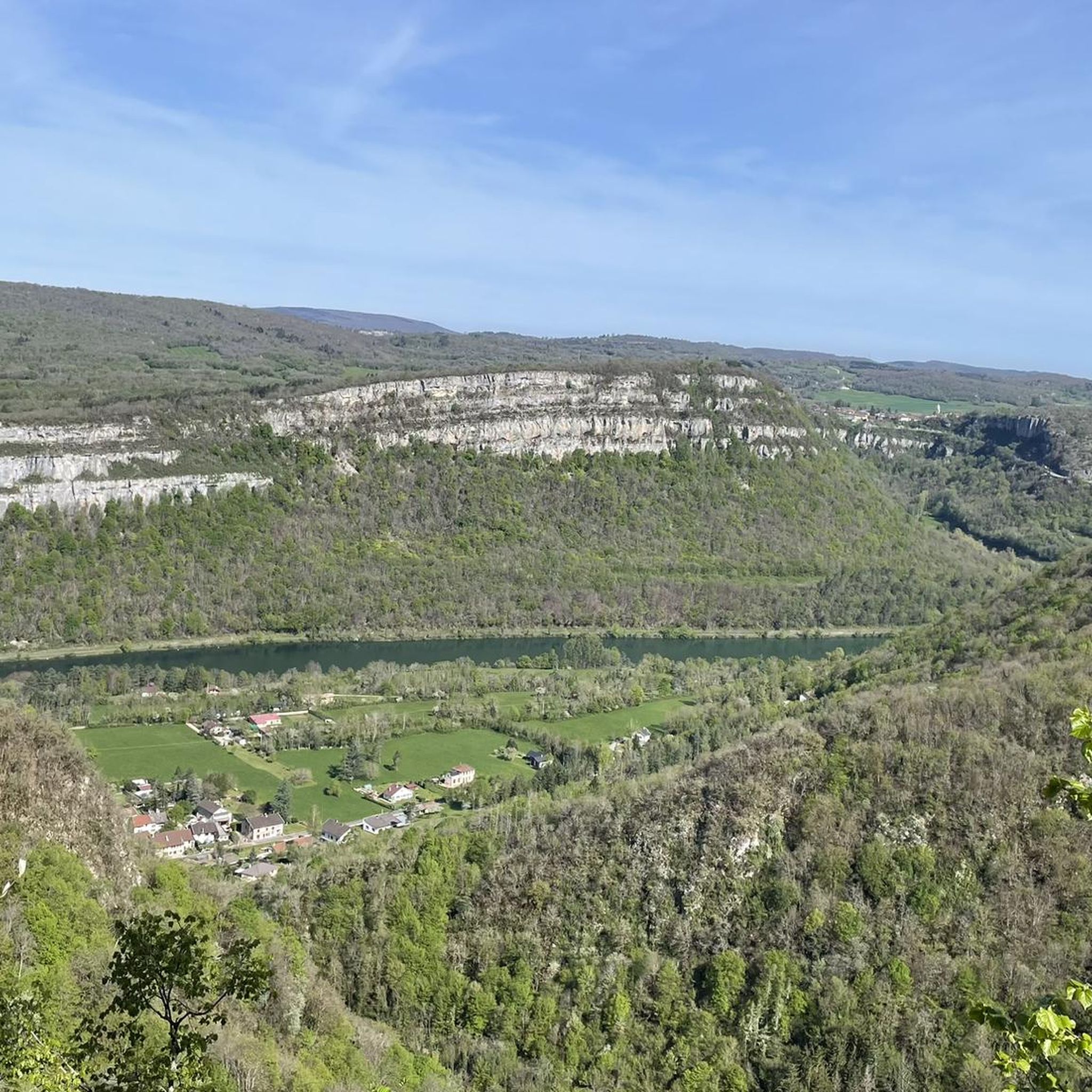
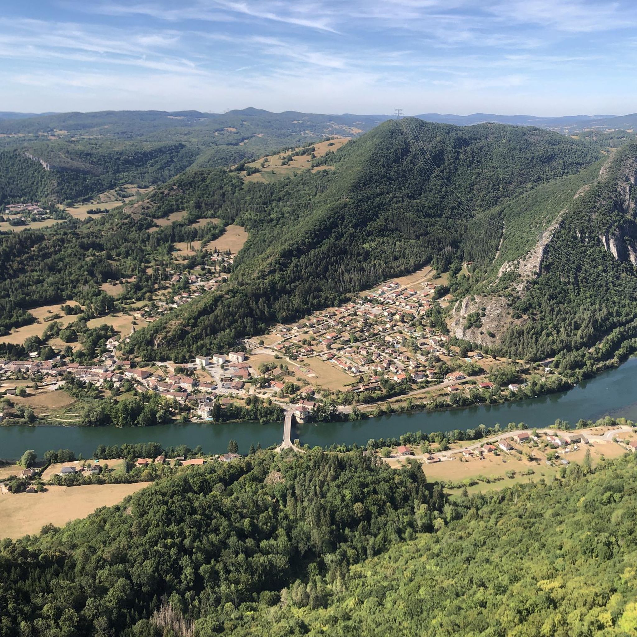
Jogging around Izernore offers diverse natural landscapes within the Ain department of the Auvergne-Rhône-Alpes region. The area features varied terrain, with altitudes ranging from 380 meters to 762 meters at the Molard aux Biches. Situated near the Jura Mountains, the region is characterized by a mix of woods, cliffs, and mountainous terrain, providing a compelling setting for outdoor activities.
Best jogging routes around Izernore
- The most popular jogging route is Retenue de Charmine-Moux loop from Izernore, a 7.1 miles…
Last updated: October 28, 2026
5.0
(2)
49
runners
11.4km
01:23
110m
110m
Moderate run. Good fitness required. Mostly paved surfaces.
16
runners
22.9km
02:51
450m
450m
Hard run. Very good fitness required. Mostly paved surfaces.

1.0
(1)
15
runners
8.10km
00:51
80m
80m
Moderate run. Good fitness required. Mostly paved surfaces.
9
runners
7.78km
00:51
100m
100m
Moderate run. Good fitness required. Mostly paved surfaces.
4
runners
10.2km
01:16
220m
220m
Moderate run. Good fitness required. Mostly paved surfaces.
Get access to more routes and recommendations from other explorers.
Already have an account?
Our route recommendations are based on thousands of hikes, rides, and runs completed by other people on komoot.
Start today with a free account
Your next adventure awaits.
Tips from the Community

Small pass between Ain and Oignin. Beautiful church in the village, the hotel looked rather closed.
3
0

Race stopped following an accident during La Bisou 2023.
0
0

Frequently Asked Questions
How many running routes are available around Izernore?
There are over a dozen dedicated running routes around Izernore, offering a variety of experiences. These include options ranging from moderate paths to more challenging trails with significant elevation gains.
What kind of terrain can I expect on jogging routes in Izernore?
Jogging routes in Izernore feature diverse natural landscapes, from the varied terrain between the Berthiand mountains and the Plastics Valley to the unspoiled Jura Mountains. You'll encounter a mix of woods, cliffs, and mountainous areas, with altitudes ranging from 380 meters to 762 meters at the Molard aux Biches.
Are there any easy or beginner-friendly running trails in Izernore?
While the komoot guide primarily lists moderate to difficult routes, the region offers accessible options. For instance, a 6.9 km loop around Lake Nantua is known for being flat and scenic, suitable for a relaxed run. For a moderate trail listed in the guide, consider the Running loop from Izernore, which is 8.1 km long.
What are some challenging running routes for experienced runners?
For experienced runners seeking a challenge, the Moos Trail loop from Izernore is a difficult 22.9 km path with significant elevation gains. The broader area around Lake Nantua also offers routes up to 28.4 km with considerable climbs, providing diverse views and a demanding experience.
Are there any circular running routes in the Izernore area?
Yes, many of the routes around Izernore are circular. For example, the Retenue de Charmine-Moux loop from Izernore is a moderate 11.4 km circular trail. The Running loop from Izernore is another moderate circular option, covering 6.7 km.
What natural features or landmarks can I see along the running trails?
The routes often pass by stunning natural features and landmarks. You can enjoy views of Lake Nantua, a beautiful glacial lake nestled between limestone cliffs (Lake Nantua Highlight). The area also features the historic Oliferne Castle Ruins, which offer breathtaking views of lakes and tree-covered mountains (Oliferne Castle Ruins Highlight). The impressive Cize-Bolozon Viaduct is another notable landmark in the region (Cize-Bolozon Viaduct Highlight).
Are there any waterfalls along the jogging routes in Izernore?
Yes, the wider region around Izernore features natural attractions including waterfalls. You might encounter the Cascade de la Pisse Vache (Cascade de la Pisse Vache Highlight) on some trails, offering a picturesque sight during your run.
What do other runners think about the jogging trails in Izernore?
The running routes in Izernore are highly regarded by the komoot community, boasting an average rating of 4.5 stars from over 20 reviews. More than 1000 runners have explored the varied terrain, often praising the diverse landscapes and the mix of woodlands and natural features.
Can I find routes with good viewpoints for scenic runs?
Absolutely. The region is known for its scenic beauty. Trails around the Oliferne Castle Ruins, perched at 807 meters, provide expansive vistas of the Ain Valley and surrounding lakes. Many routes also offer diverse views of Lake Nantua and its dramatic limestone cliffs, especially those with elevation.
Are there any other lakes to explore besides Lake Nantua?
Yes, in addition to Lake Nantua, the area also features Lake Genin (Lake Genin Highlight), which is another beautiful lake that can be incorporated into longer running adventures or visited as a nearby attraction.
Is there a good route for a longer run, perhaps starting from a nearby town?
For a longer run that explores the wider area, consider the Running loop from Montréal-la-Cluse. This moderate route is 7.8 km long and offers a different starting point to discover the region's varied landscapes.
Most popular attractions around Izernore

Get inspired with the komoot mobile app


Explore more
Browse the best Running Trails & Routes in other regions.
