The best walks and hikes around Grand-Corent
4.4
(829)
4,182
hikers
243
hikes
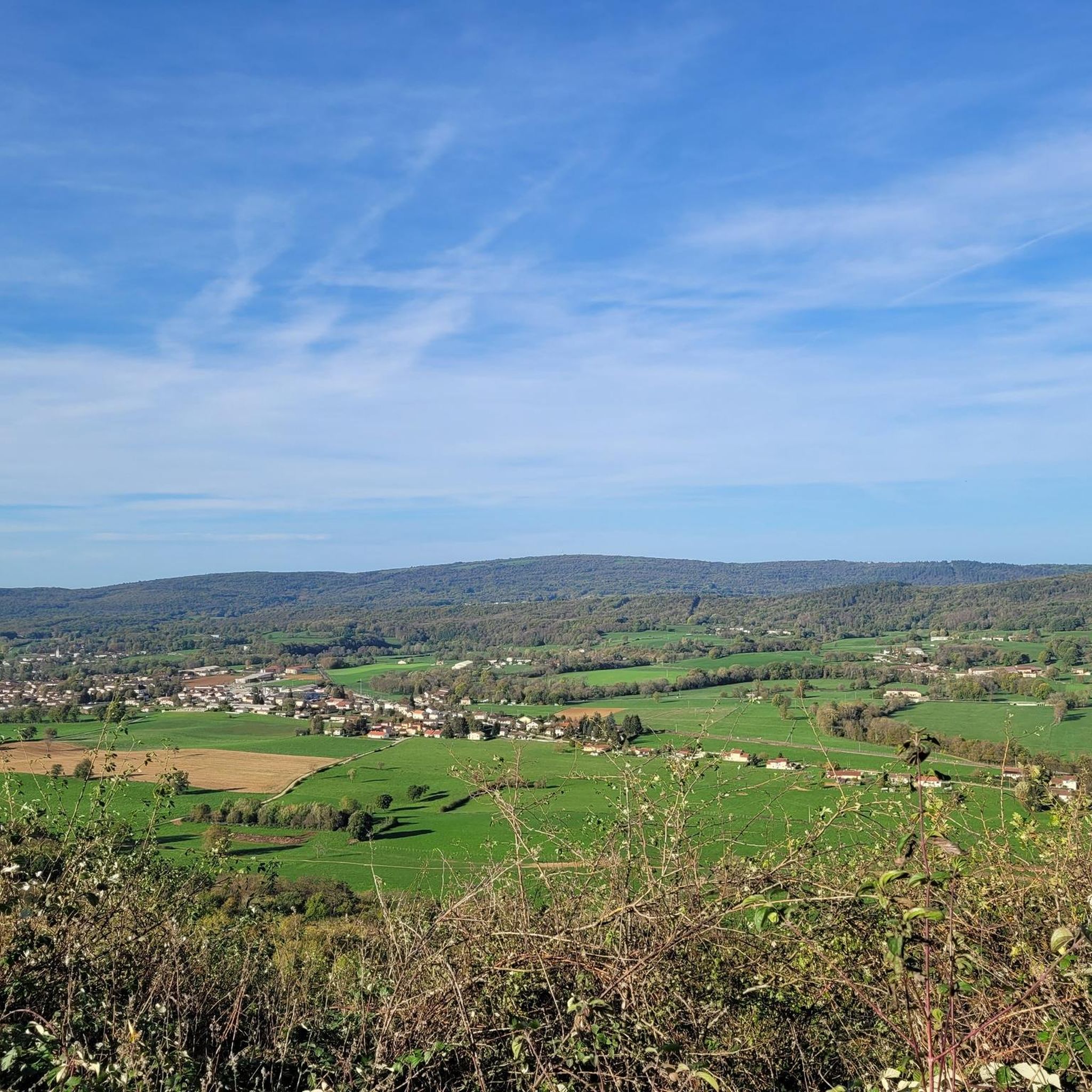
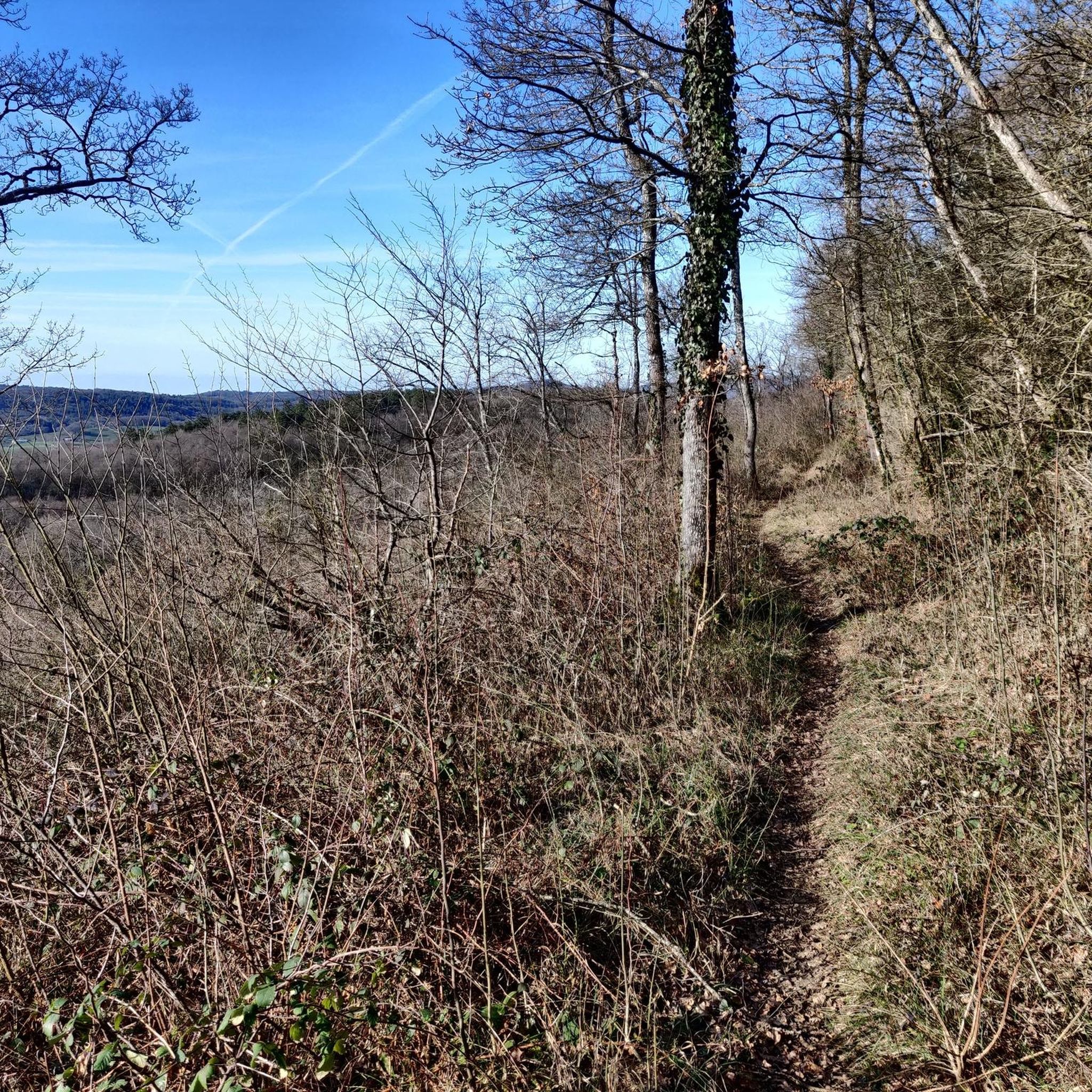
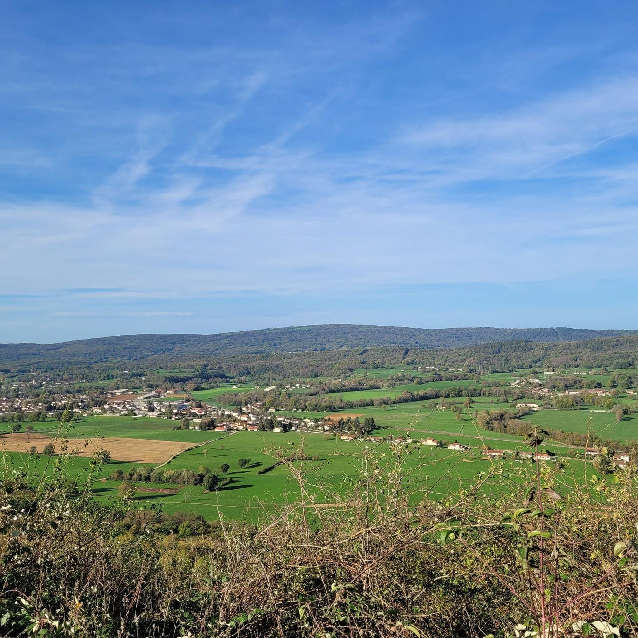
Hiking around Grand-Corent offers diverse natural landscapes within the Ain department of eastern France. The region is characterized by rolling hills, green fields, and dense forests, with the Ain River winding through picturesque valleys and gorges. Notable features include the elevated Jarbonnet Rocks, providing panoramic views, and the varied terrain around Mont Balvay. These physical features create a rich environment for outdoor activities.
Best hiking trails around Grand-Corent
- The most popular hiking route is The rocks of Jarbonnet - loop, a 5.5 miles (8.8 km) trail that takes 2 hours 45 minutes to complete. This moderate route offers rewarding views of the Ain river valley.
- Another top favourite among local hikers is Val de Buenc and the Ain Gorges, a difficult 12.5 miles (20.1 km) path. This trail explores the dramatic Ain Gorges, providing expansive views over the river.
- Local hikers also love the Grand-Corrent Climb – Steep Ascent to Grand Corent loop from Grand-Corent, a 6.2 miles (10.0 km) trail leading through woodlands and offering a significant ascent, often completed in about 3 hours 5 minutes.
- Hiking around Grand-Corent is defined by river valleys, elevated rock formations, and varied woodlands. The network offers options for easy strolls and more challenging ascents, catering to different ability levels.
- The routes in Grand-Corent are highly rated by the komoot community with an average score of 4.4 stars from over 700 reviews. More than 3,700 hikers have used komoot to explore Grand-Corent's varied terrain.
Last updated: October 1, 2026
4.7
(68)
236
hikers
8.79km
02:45
330m
330m
Moderate hike. Good fitness required. Easily-accessible paths. Suitable for all skill levels.
4.5
(12)
34
hikers
20.1km
05:59
620m
620m
Hard hike. Very good fitness required. Easily-accessible paths. Suitable for all skill levels.

4.8
(74)
246
hikers
10.0km
03:05
370m
370m
Moderate hike. Good fitness required. Easily-accessible paths. Suitable for all skill levels.
4.8
(25)
98
hikers
9.81km
02:52
270m
270m
Moderate hike. Good fitness required. Easily-accessible paths. Suitable for all skill levels.
4.7
(7)
36
hikers
13.7km
04:11
470m
470m
Moderate hike. Good fitness required. Easily-accessible paths. Suitable for all skill levels.
Get access to more routes and recommendations from other explorers.
Already have an account?
Our route recommendations are based on thousands of hikes, rides, and runs completed by other people on komoot.
Start today with a free account
Your next adventure awaits.
Tips from the Community


This superb wild natural site overlooks the river d’Ain. Lined with spectacular cliffs, it offers remarkable panoramas from its trails and viewpoints.
0
0


Spectacular view overlooking the Ain Gorges. The Jarbonnet rocks form beautiful cliffs above the valley.
0
0

Here you have a particularly remarkable view of the Ain gorges.
0
0
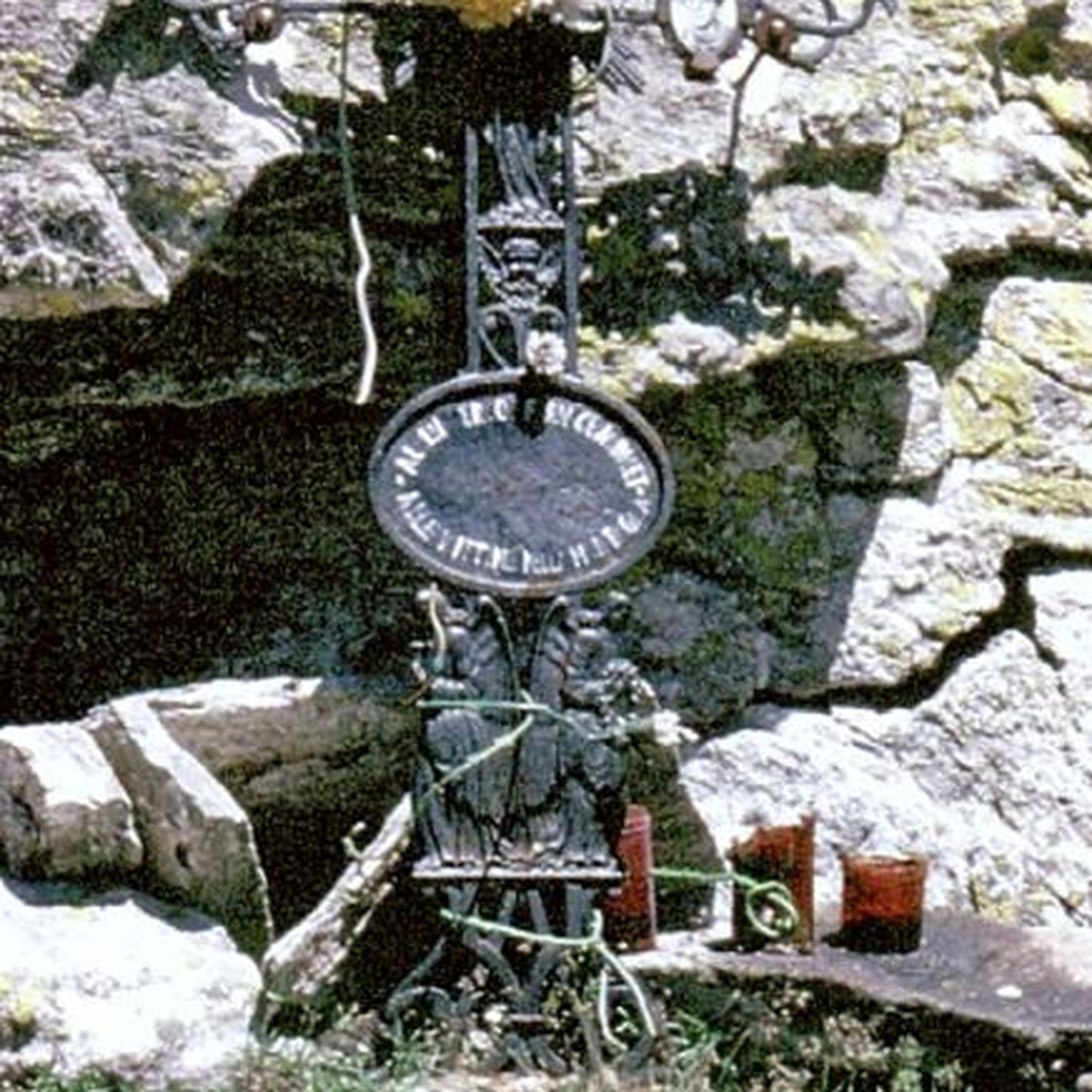
The dozens of footprints found at this site date back 150 million years. They correspond to traces of sauropods that lived in the Jurassic.
1
1
Frequently Asked Questions
How many hiking trails are available around Grand-Corent?
There are over 230 hiking routes in the Grand-Corent area, catering to various skill levels. You'll find approximately 70 easy trails, 140 moderate routes, and 15 more challenging hikes, ensuring options for everyone from casual walkers to experienced trekkers.
What kind of terrain can I expect on hikes near Grand-Corent?
The terrain around Grand-Corent is quite varied, featuring rolling hills, green fields, dense forests, and picturesque river valleys. You can expect paths that wind through woodlands, open spaces, and offer ascents to viewpoints like the Jarbonnet Rocks, providing diverse hiking experiences.
Are there any family-friendly hiking options in Grand-Corent?
Yes, Grand-Corent offers several easy routes suitable for families. Many trails alternate between woodland and open spaces, providing a pleasant experience. For example, a short, easy loop passes through the Hautecourt Cave Nature Reserve, offering an accessible walk with interesting information panels about local biodiversity.
Can I bring my dog on the hiking trails around Grand-Corent?
Most trails in the Grand-Corent area are dog-friendly, but it's always recommended to keep your dog on a leash, especially in nature reserves or areas with livestock. The diverse landscapes, from forests to open fields, provide plenty of opportunities for enjoyable walks with your canine companion.
Are there any circular walks available in Grand-Corent?
Yes, many routes around Grand-Corent are circular, allowing you to start and end at the same point. For instance, The rocks of Jarbonnet - loop is a popular moderate circular trail offering rewarding views. Another option is a circular route around Mont Balvay, which includes pleasant ascents through woodlands.
What are some notable natural features or viewpoints to see while hiking?
Hikers can enjoy several impressive natural features and viewpoints. The Jarbonnet Rocks offer panoramic views of the Ain River valley. The Ain River Valley and Gorges themselves provide picturesque scenery, especially from elevated points. You might also encounter the Cascade de la Pisse Vache, a beautiful waterfall, or the unique Grotte de Corveissiat entrance nestled in moss-covered woods.
Are there any historical or cultural landmarks along the trails?
Yes, the region offers a blend of natural beauty and historical interest. You can explore the Ruins of Jasseron Castle or visit the Chartreuse de Sélignac. Additionally, the Dinosaur Footprints of Villette offer a unique paleontological site to discover.
What do other hikers say about the trails in Grand-Corent?
The hiking trails in Grand-Corent are highly regarded by the komoot community, with an average rating of 4.4 stars from over 740 reviews. Hikers often praise the diverse landscapes, well-maintained paths, and the rewarding views, particularly those overlooking the Ain River valley.
Are there any challenging hikes for experienced trekkers?
Yes, for experienced trekkers seeking a challenge, there are difficult routes available. The Val de Buenc and the Ain Gorges trail is a difficult 20.1 km path that explores the dramatic Ain Gorges, providing expansive views and a significant elevation gain.
What is the best time of year to go hiking in Grand-Corent?
Grand-Corent offers pleasant hiking conditions throughout much of the year. Spring and autumn provide mild temperatures and beautiful scenery with blooming flora or vibrant fall colors. Summer is also popular, though some routes may be warmer. Winter hikes are possible, but conditions can vary, especially on higher ground.
Are there any routes that follow the Ain River?
Yes, the Ain River is a prominent feature of the region, and several routes offer views or follow its course. The "Overhangs of the Ain Gorges" hike, for example, provides stunning views overlooking the gorges. The Val de Buenc and the Ain Gorges trail also explores this dramatic river landscape.
Are there any specific trails known for wide panoramic views?
Absolutely. Hikes like "Mont Rignat and the springs of the Reyssouze" offer wide panoramas of the Bugey, the Bresse plain, the Beaujolais mountains, and even the Lyon region. On clear days, from areas like the Revermont, you might even catch a glimpse of Mont Blanc.
Most popular attractions around Grand-Corent

Get inspired with the komoot mobile app


Explore more
Browse the best Hikes in other regions.
