The best road cycling routes around Saint-Jean-De-Gonville
4.5
(126)
2,937
riders
151
rides
Road cycling routes around Saint-Jean-De-Gonville are set within the Ain department of the Auvergne-Rhône-Alpes region, on the southeastern slopes of the French Jura massif. This area presents a diverse landscape with a significant elevation range, ideal for varied road cycling experiences. The terrain includes challenging ascents and descents, alongside scenic routes through forests and valleys, with views towards Lake Geneva and the Alps.
Best road cycling routes around Saint-Jean-De-Gonville
- The most popular road cycling route is Panorama of the Alps…
Last updated: May 16, 2026
4.1
(7)
99
riders
59.1km
02:38
500m
500m
Moderate road ride. Good fitness required. Mostly well-paved surfaces and easy to ride.
5.0
(1)
90
riders
65.7km
03:17
980m
980m
Hard road ride. Very good fitness required. Mostly well-paved surfaces and easy to ride.

Sign up for free
4.8
(6)
28
riders
26.5km
01:13
300m
310m
Moderate road ride. Good fitness required. Mostly well-paved surfaces and easy to ride.
30
riders
80.2km
04:04
1,220m
1,220m
Hard road ride. Very good fitness required. Mostly well-paved surfaces and easy to ride.
13
riders
32.8km
01:30
320m
310m
Moderate road ride. Good fitness required. Some segments of this route may be unpaved and difficult to ride.
Get access to more routes and recommendations from other explorers.
Sign up for free
Already have an account?
Our route recommendations are based on thousands of hikes, rides, and runs completed by other people on komoot.
Start today with a free account
Your next adventure awaits.
Login or Signup

Tips from the Community

The Avouzon fountain in the commune of Crozet. Unfortunately, it is marked "non-potable water."
0
0

The old railway line from Collonges - Fort-l'Écluse to Divonne-les-Bains was sold in 1964, some of its old sections were transformed into green lines.
0
0
A very gentle descent with many false flats, the landscape is magnificent and varied. We also cross a small forest which can be a little dark.
0
0
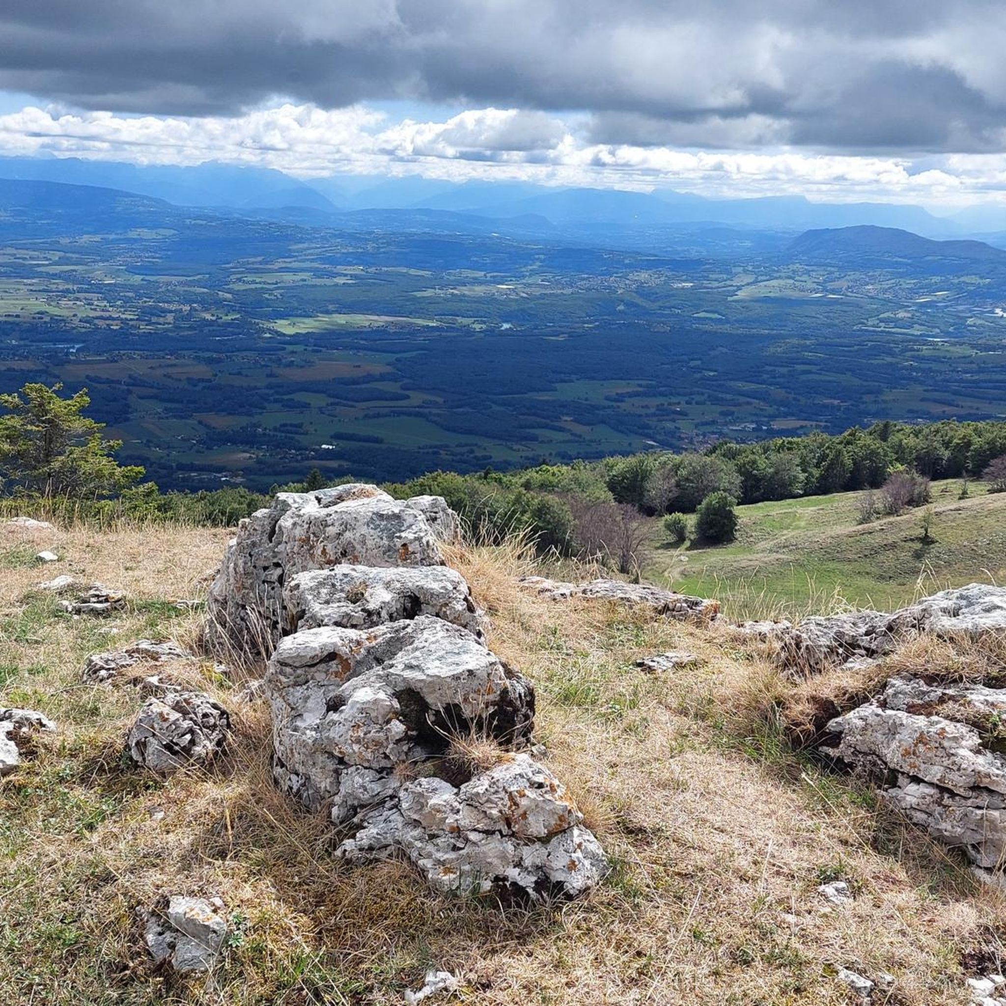
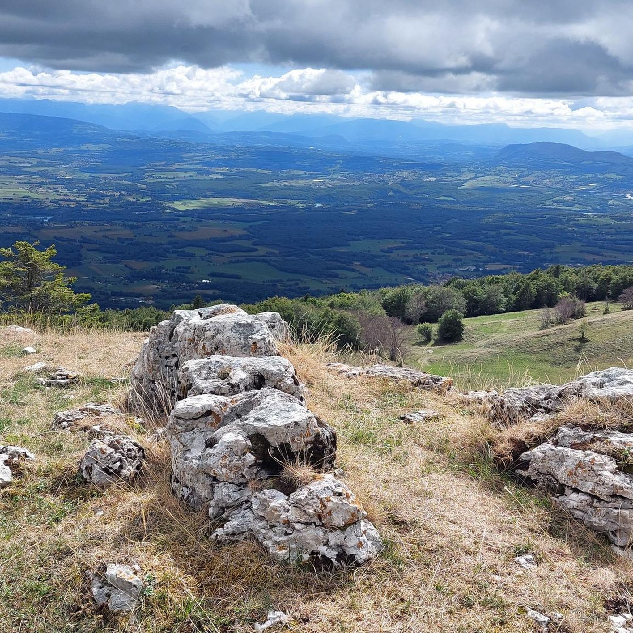
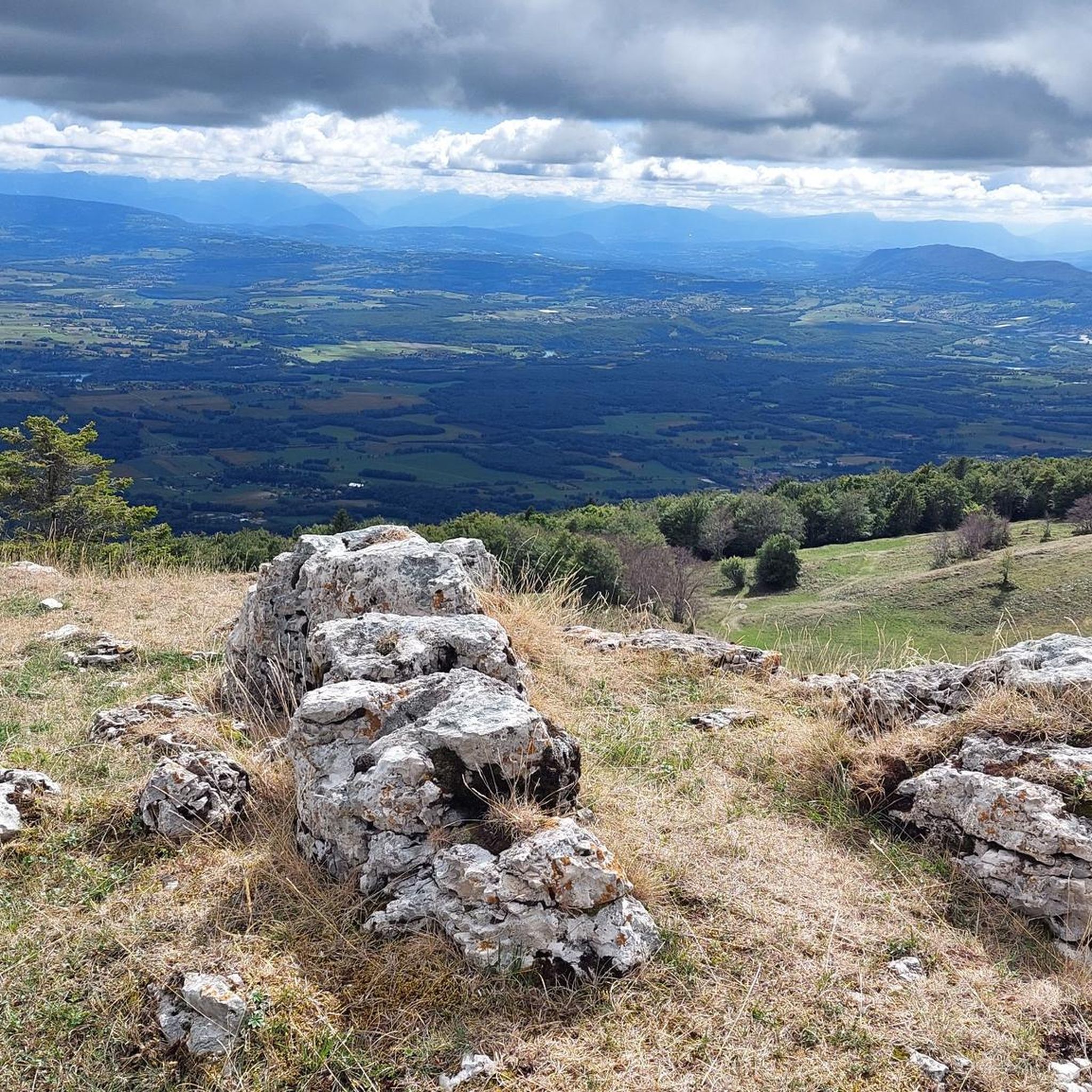
A road with views of the Jura, Geneva, Mont Blanc, and Salève, right in the heart of the Pays de Gex. I even happened to spot deer at the edge of the woods.
0
0


go on the pedestrian sidewalk! you'll wait hours other way...
0
0
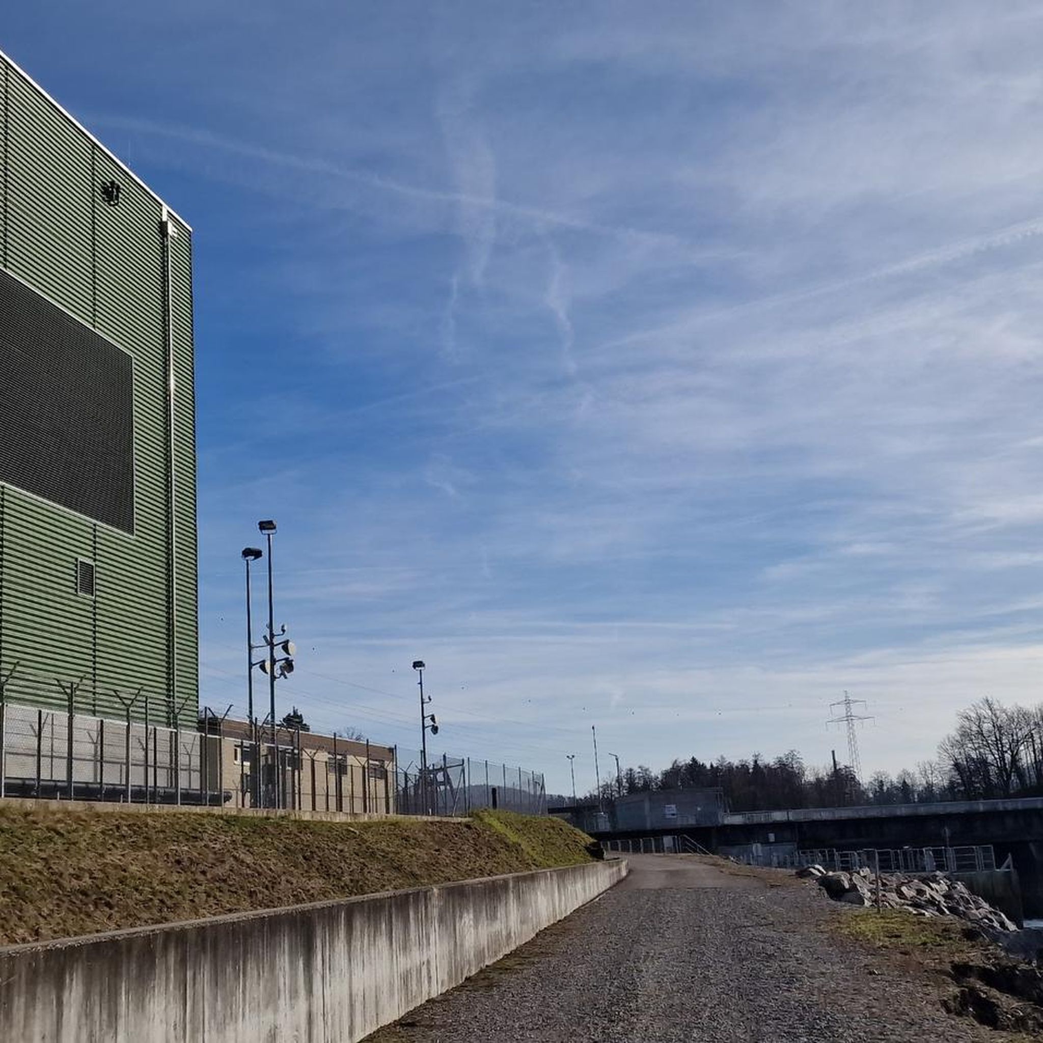
The Chancy Bridge is the seventeenth bridge furthest downstream on the Rhone after its exit from Lake Geneva and the last on Swiss territory. It connects the towns of Chancy on the left bank and Pougny on the right bank. The border runs through the middle of the Rhone. The customs posts, now disused, are located on either side of the bridge.
0
0
Frequently Asked Questions
How many road cycling routes are available around Saint-Jean-De-Gonville?
There are over 150 road cycling routes around Saint-Jean-De-Gonville, offering a wide variety of experiences for different skill levels. The komoot community has explored these routes over 3600 times.
What kind of terrain can I expect when road cycling around Saint-Jean-De-Gonville?
The terrain is diverse, situated on the southeastern slopes of the French Jura massif. You can expect significant elevation changes, with challenging ascents and descents, as well as scenic routes through forests and valleys. The region offers a substantial elevation range from 444 to 1,632 meters.
Are there easy road cycling routes suitable for beginners?
Yes, approximately 30 of the routes are categorized as easy, making them suitable for beginners or those looking for a more relaxed ride. Many routes are moderate, and about 49 are considered difficult, catering to a full spectrum of abilities.
What natural landmarks or attractions can I see while cycling?
While cycling, you can encounter impressive peaks of the Jura Massif such as Le Reculet Summit, Grand Crêt, and Crêt de Chalam. You might also pass through mountain passes like Menthières Pass and Crozet Pass.
Are there scenic viewpoints along the road cycling routes?
Absolutely. Many routes offer breathtaking vistas. You can find viewpoints providing expansive views of the Jura Mountains, such as View of the Jura Mountains, and even distant views of the Alps. The region's proximity to Lake Geneva also means some routes offer scenic lake views.
What do other road cyclists say about the routes in Saint-Jean-De-Gonville?
The routes in Saint-Jean-De-Gonville are highly rated by the komoot community, with an average score of 4.5 stars from over 140 reviews. Cyclists often praise the varied terrain, challenging climbs, and the stunning views of the Jura and the Alps.
Are there challenging road cycling routes for experienced cyclists?
Yes, the region is well-known for its challenging routes. Approximately 49 routes are classified as difficult, featuring significant elevation gains. For example, the "ViaRhôna Vulbens-Seyssel – View of the Musièges mountain loop from Thoiry" is a difficult 65.7 km path with nearly 1000 meters of elevation gain.
What is the typical length of road cycling routes in Saint-Jean-De-Gonville?
Route lengths vary significantly. You can find shorter rides, like the "Route de Sergy Scenic View – Avouzon fountain loop from Saint-Jean-de-Gonville" at 32.1 km, which takes about 1 hour 25 minutes. Longer, more demanding routes can extend to over 70 km, requiring several hours to complete.
Are there many circular road cycling routes available?
Yes, the majority of road cycling routes in the area are designed as loops, allowing you to start and finish at the same point. This makes planning your ride and return journey convenient.
How does the region's proximity to Geneva influence the cycling experience?
Being close to Geneva means you can enjoy routes that descend towards Lake Geneva, potentially offering scenic lake views. It also provides a convenient starting point for cyclists coming from the Geneva area, with varied terrain ranging from the Jura slopes to flatter sections closer to the lake.
Can I find routes that offer views of the Alps?
Yes, many routes in the Saint-Jean-De-Gonville area, particularly those with higher elevations, offer spectacular distant views of the Alps. The "Panorama of the Alps – Climb to Vesancy loop from Saint-Jean-de-Gonville" is a prime example, specifically designed to showcase these panoramic views.
Most popular routes around Saint-Jean-De-Gonville
Most popular attractions around Saint-Jean-De-Gonville

Get inspired with the komoot mobile app


Explore more
Browse the best Road cycling routes in other regions.
