The best road cycling routes around Laval-Le-Prieuré
4.5
(39)
1,168
riders
142
rides
Road cycling routes around Laval-Le-Prieuré are situated within the Doubs department of France, offering varied terrain for cyclists. The region is characterized by its location on the slopes of the Dessoubre valley, with elevations ranging from 460 to 820 meters. Deep valleys carved by the Dessoubre river and its tributaries, like the Pissoux stream, define the landscape, providing undulating routes through the Jura high plateaus. This area is part of the Doubs Horloger Regional Natural Park, featuring a preserved natural…
Last updated: May 11, 2026
4.5
(2)
38
riders
54.9km
02:42
820m
820m
Moderate road ride. Good fitness required. Mostly well-paved surfaces and easy to ride.
4.0
(1)
31
riders
Moderate road ride. Good fitness required. Mostly well-paved surfaces and easy to ride.

Sign up for free
3.0
(1)
16
riders
97.7km
04:59
1,580m
1,580m
Hard road ride. Very good fitness required. Mostly well-paved surfaces and easy to ride.
9
riders
Hard road ride. Very good fitness required. Mostly well-paved surfaces and easy to ride.
8
riders
41.1km
02:03
580m
580m
Moderate road ride. Good fitness required. Mostly well-paved surfaces and easy to ride.
Get access to more routes and recommendations from other explorers.
Sign up for free
Already have an account?
Our route recommendations are based on thousands of hikes, rides, and runs completed by other people on komoot.
Start today with a free account
Your next adventure awaits.
Login or Signup
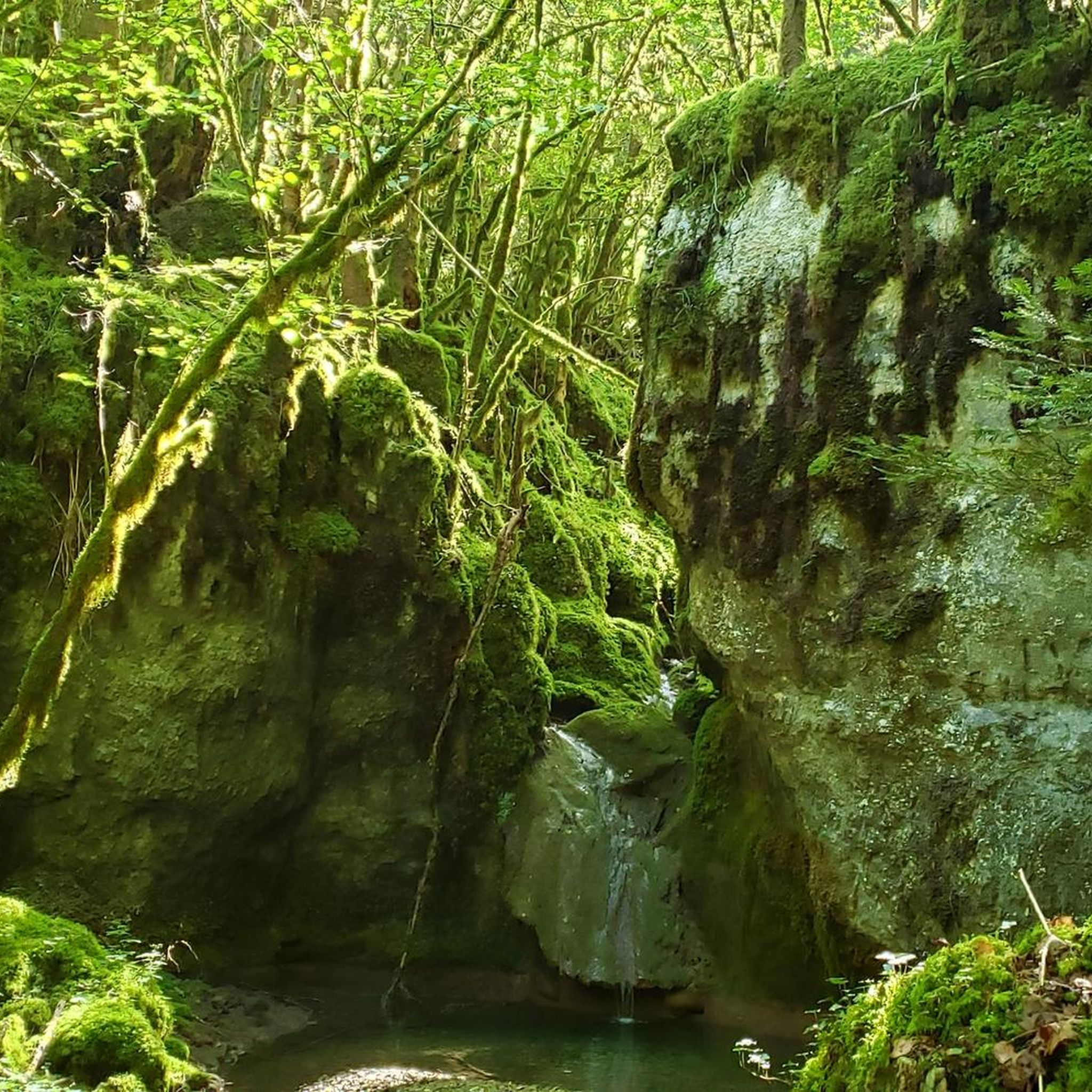
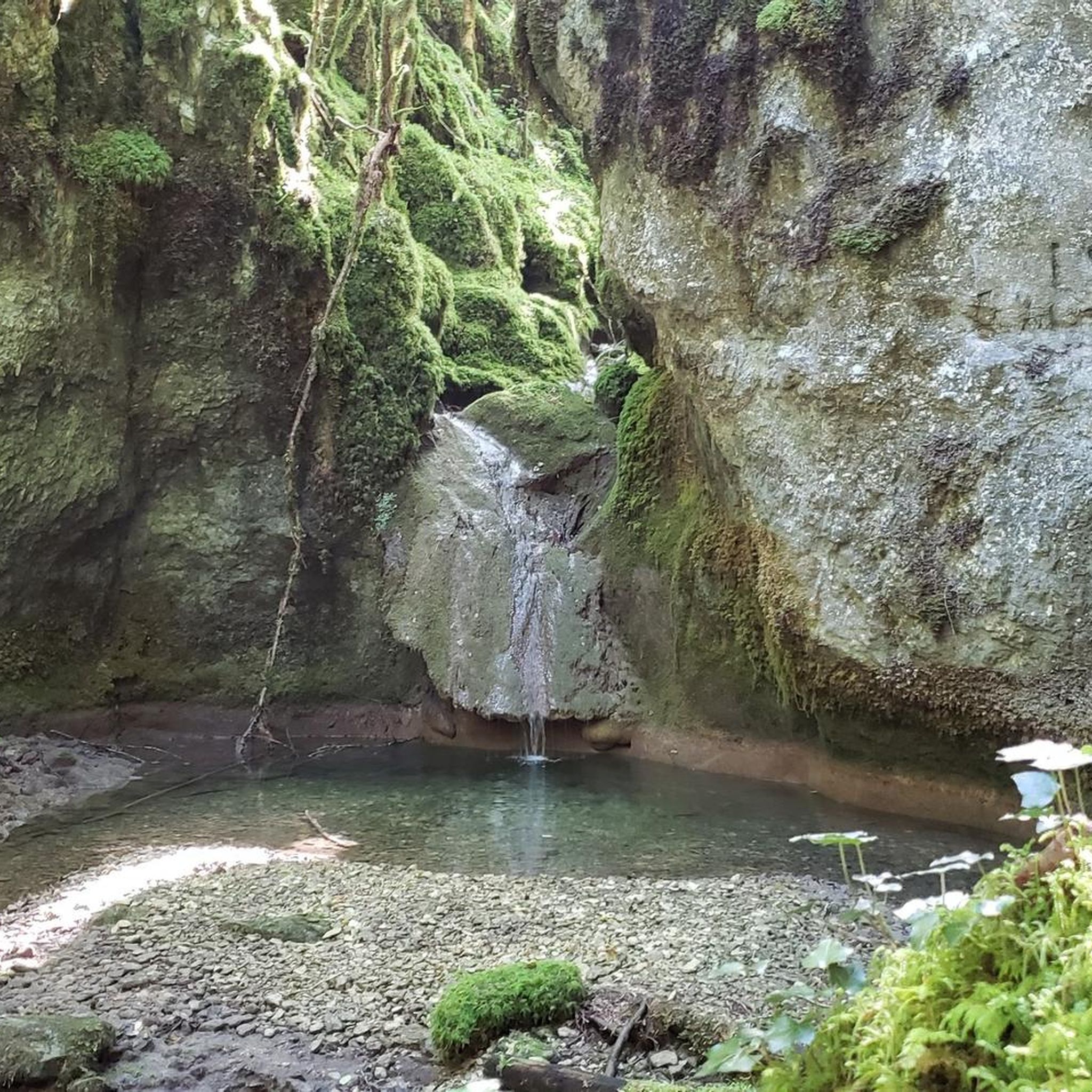
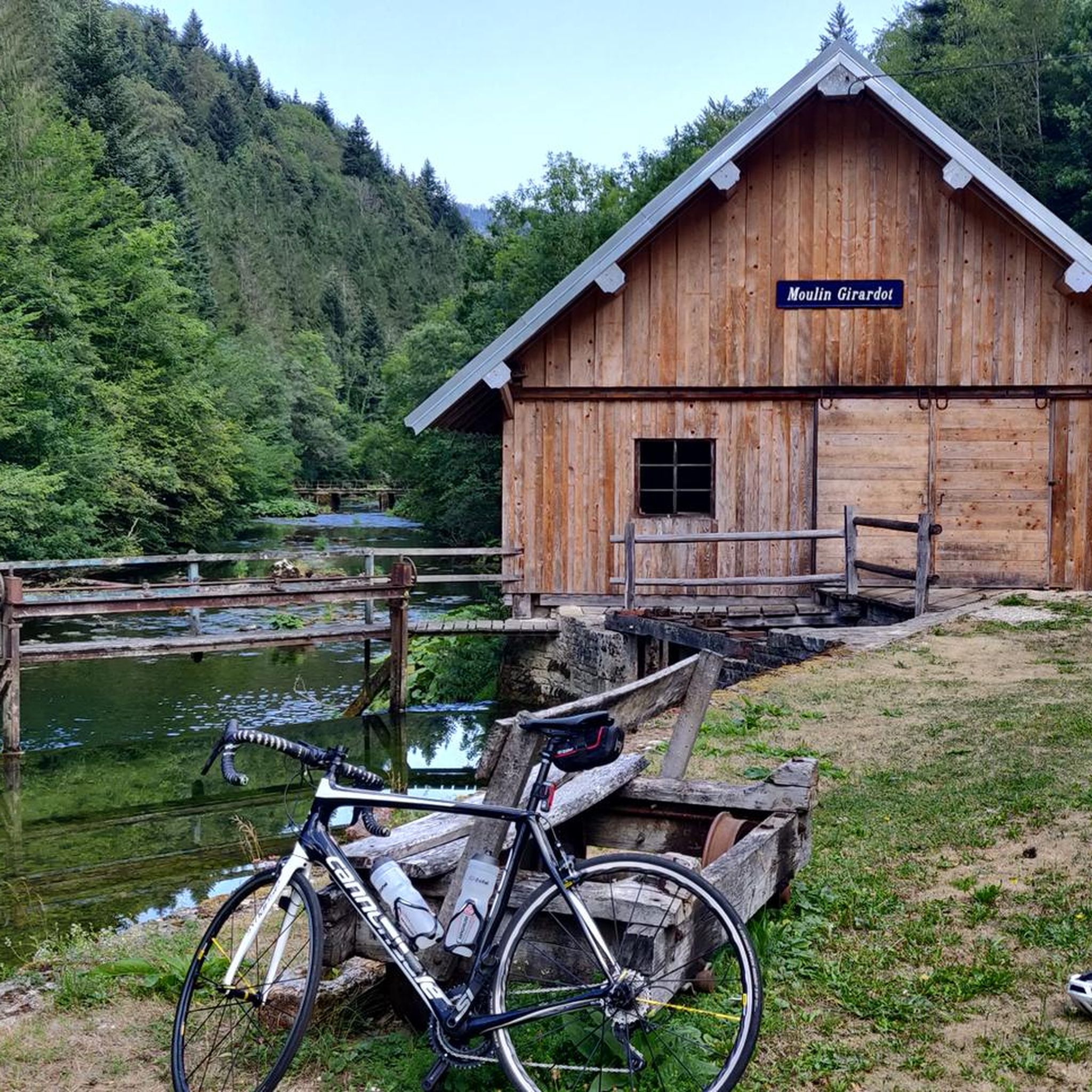
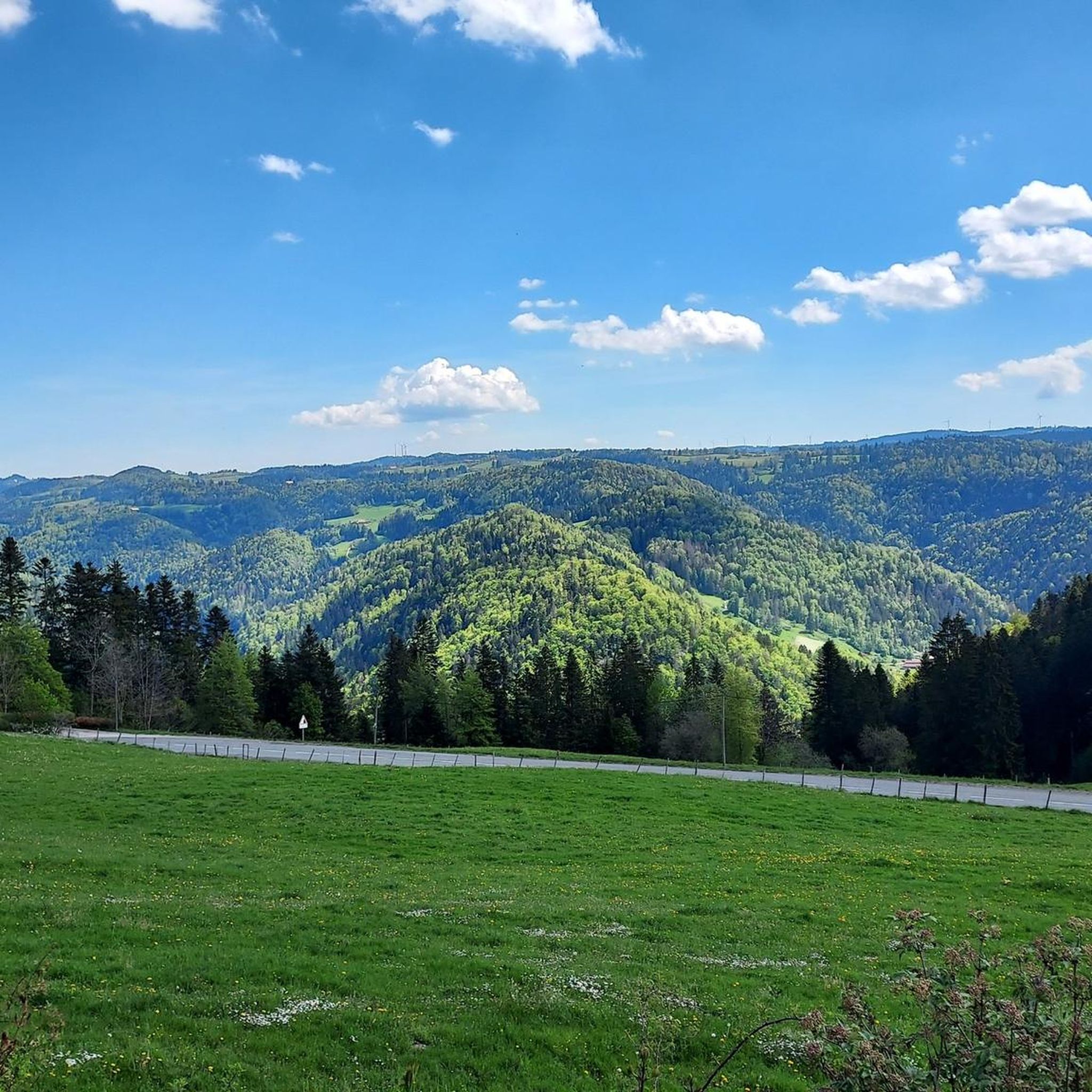

Tips from the Community

Typo? Needs to be corrected... right?
0
0

The winding "Route de Biaufond" runs between Fournet-Blancheroche and the Swiss border across the Doubs River. It offers magnificent views of the Doubs Valley and the Swiss side.
0
0
This small bridge takes you through the 'green' border over the Doubs.
0
0
A border crossing could not have been designed more beautifully 😉.
0
0
In good weather you can enjoy a wide view of the Jura.
0
0
This border crossing is more for hikers or mountain bikers.
0
0
On the French side of the border there is a parking lot with a great view of the dammed border river Doubs.
0
0
Memorial to the fallen of the two world wars 🕊️
0
0
Frequently Asked Questions
What is the general terrain like for road cycling around Laval-Le-Prieuré?
The region offers varied and undulating terrain, characterized by its location on the slopes of the Dessoubre valley. Elevations range from 460 to 820 meters, with deep valleys carved by the Dessoubre river and its tributaries. This provides a challenging yet scenic backdrop for road cycling through the Jura high plateaus.
How many road cycling routes are available in Laval-Le-Prieuré?
There are over 140 road cycling routes available around Laval-Le-Prieuré, catering to various skill levels. This includes 12 easy routes, 87 moderate routes, and 48 difficult routes, ensuring options for every cyclist.
Are there any challenging road cycling routes with significant climbs?
Yes, the region is known for its challenging terrain. For instance, the difficult route Lac de Biaufond – La Rasse Bridge over the Doubs River loop from Consolation-Maisonnettes covers 60.4 miles with over 1500 meters of elevation gain. Another difficult option is the View of the Dessoubre River – Denkmal für die Gefallenen 🕊️ loop from Consolation-Maisonnettes, which is 45.3 miles long with nearly 950 meters of ascent.
What kind of scenic views can I expect on road cycling routes in this area?
Road cycling routes in Laval-Le-Prieuré offer stunning natural scenery, including deep river valleys, the Jura high plateaus, and panoramic viewpoints. You can expect views of the Dessoubre river, and some routes pass near notable natural features like the Consolation Cirque and the Roche Barchey viewpoint.
Are there any moderate road cycling routes suitable for a good workout?
Absolutely. A popular moderate route is the Col du Tounet (965 m) loop from Guyans-Vennes. This 21.5-mile trail features a significant climb to Col du Tounet and can typically be completed in under two hours. Another moderate option is the Roadbike loop from Montbéliardot, which is 41.3 km long with over 570 meters of elevation gain.
What do other cyclists say about road cycling in Laval-Le-Prieuré?
The road cycling routes in Laval-Le-Prieuré are highly rated by the komoot community, with an average score of 4.6 stars from over 30 reviews. Cyclists often praise the varied terrain, scenic views, and the well-maintained network of roads that wind through the Doubs Horloger Regional Natural Park.
Are there any specific natural attractions or landmarks to look out for while cycling?
Yes, the region is rich in natural beauty. You might encounter the dramatic Consolation Cirque, a typical Jura rock basin, or the picturesque Lançot Waterfall. For panoramic views, the Roche Barchey viewpoint is a notable spot. Historically, the Saint-Sulpice church, dating back to the 11th century, is also in the area.
Can I find circular road cycling routes in Laval-Le-Prieuré?
Many of the road cycling routes in the area are designed as loops, allowing you to start and finish at the same point. Examples include the Col du Tounet (965 m) loop from Guyans-Vennes and the Lac de Biaufond – La Rasse Bridge over the Doubs River loop from Consolation-Maisonnettes, offering convenient circular journeys through the landscape.
What is the best time of year for road cycling in Laval-Le-Prieuré?
While specific seasonal data isn't provided, the undulating terrain and natural features suggest that spring, summer, and early autumn would offer the most pleasant conditions for road cycling. These seasons typically provide milder weather and lush landscapes, ideal for enjoying the region's scenic routes.
Are there any routes that pass by historical or cultural points of interest?
Yes, some routes may pass by local historical sites. For example, the View of the Dessoubre River – Denkmal für die Gefallenen 🕊️ loop from Consolation-Maisonnettes includes a memorial. The region also features the historic Saint-Sulpice church and traditional 'stone wall' trails, which cyclists might encounter on their rides.
Are there any routes that offer a mix of natural beauty and cultural sights?
Routes in the area often combine natural beauty with glimpses of local heritage. For instance, the War memorials – Val de Consolation loop from Montbéliardot, a moderate 48.6-mile route, takes you through the scenic Val de Consolation while passing by war memorials, offering both natural and historical points of interest.
Most popular routes around Laval-Le-Prieuré
Most popular attractions around Laval-Le-Prieuré

Get inspired with the komoot mobile app


Explore more
Browse the best Road cycling routes in other regions.
