The best walks and hikes around Montlebon
4.5
(1450)
9,664
hikers
18
hikes
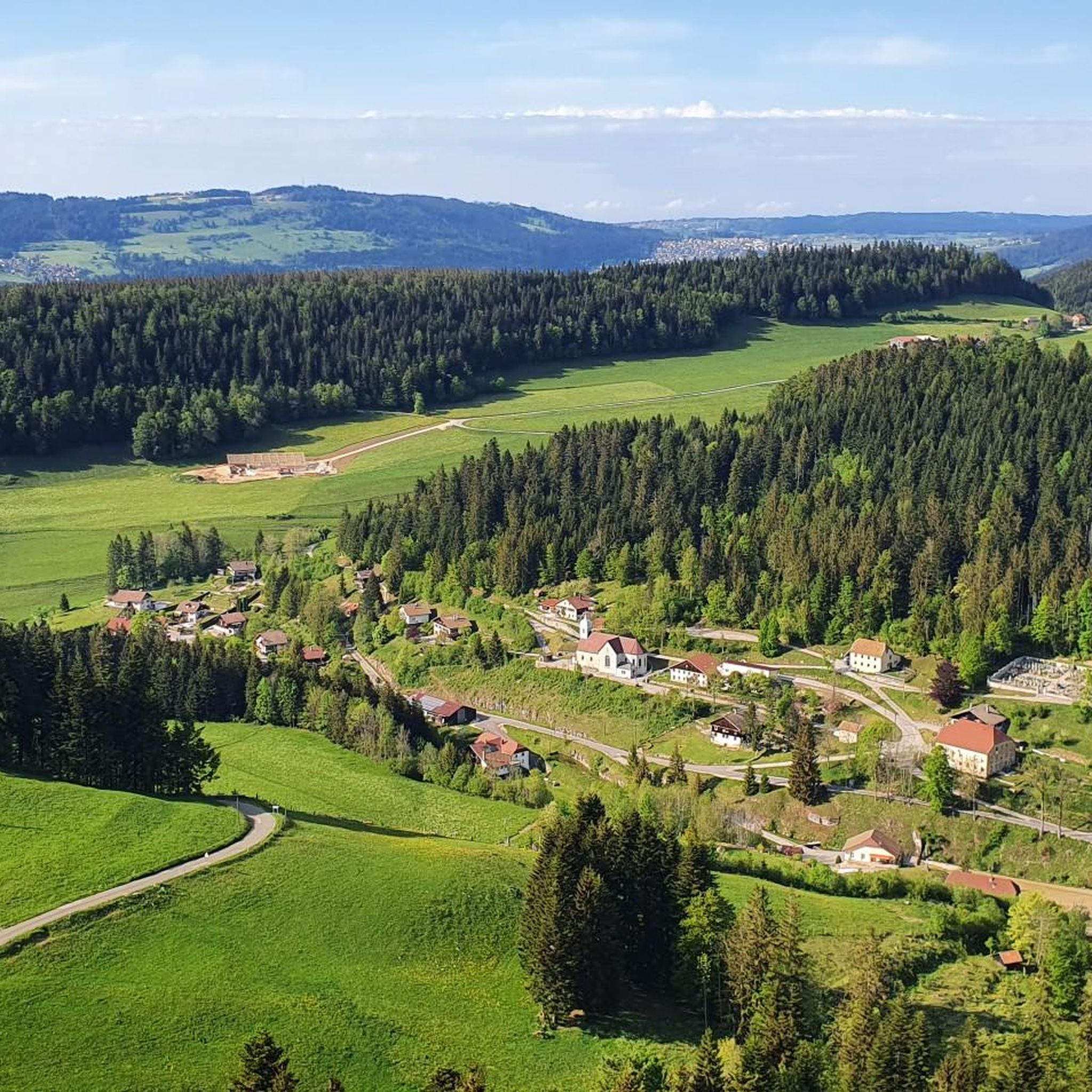
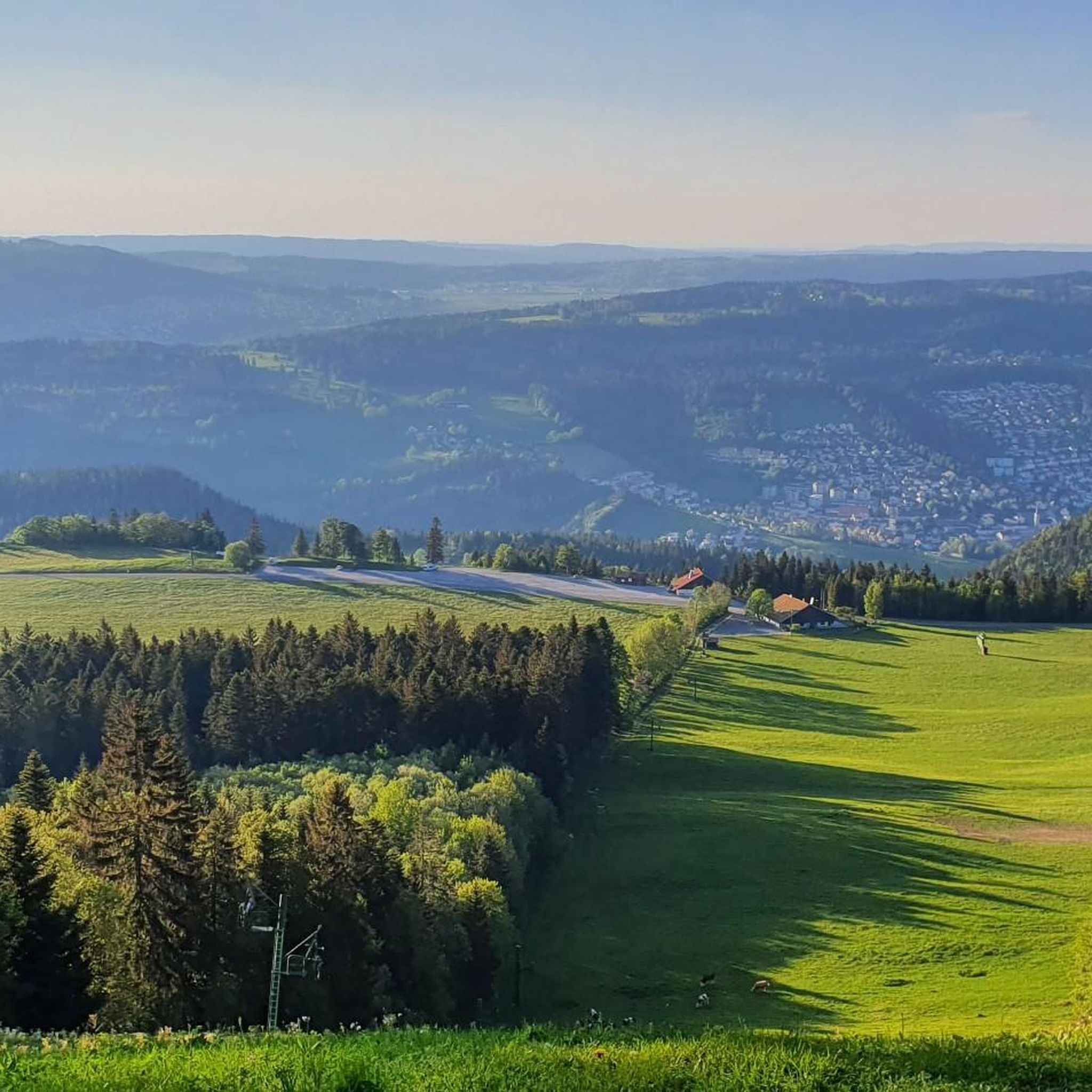
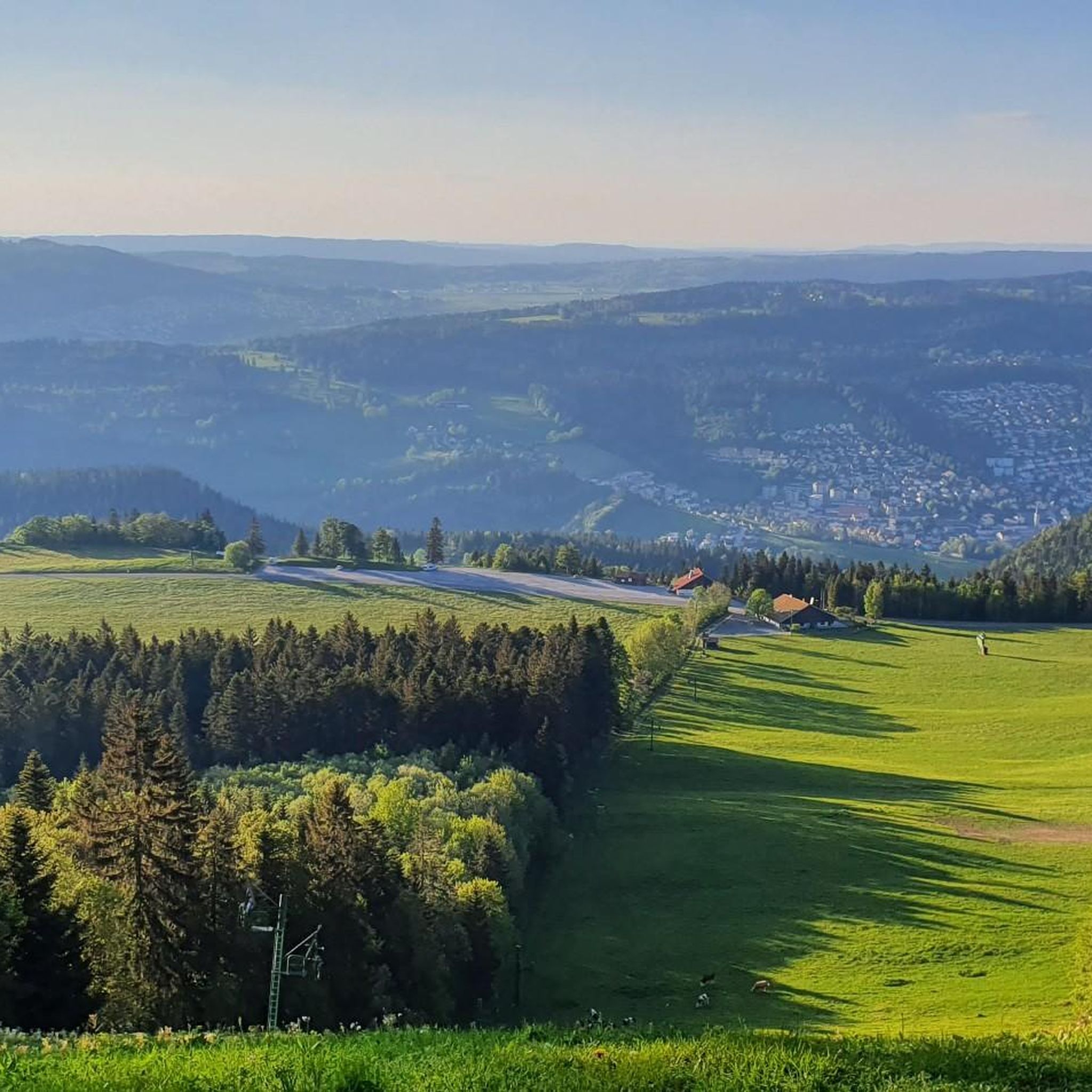
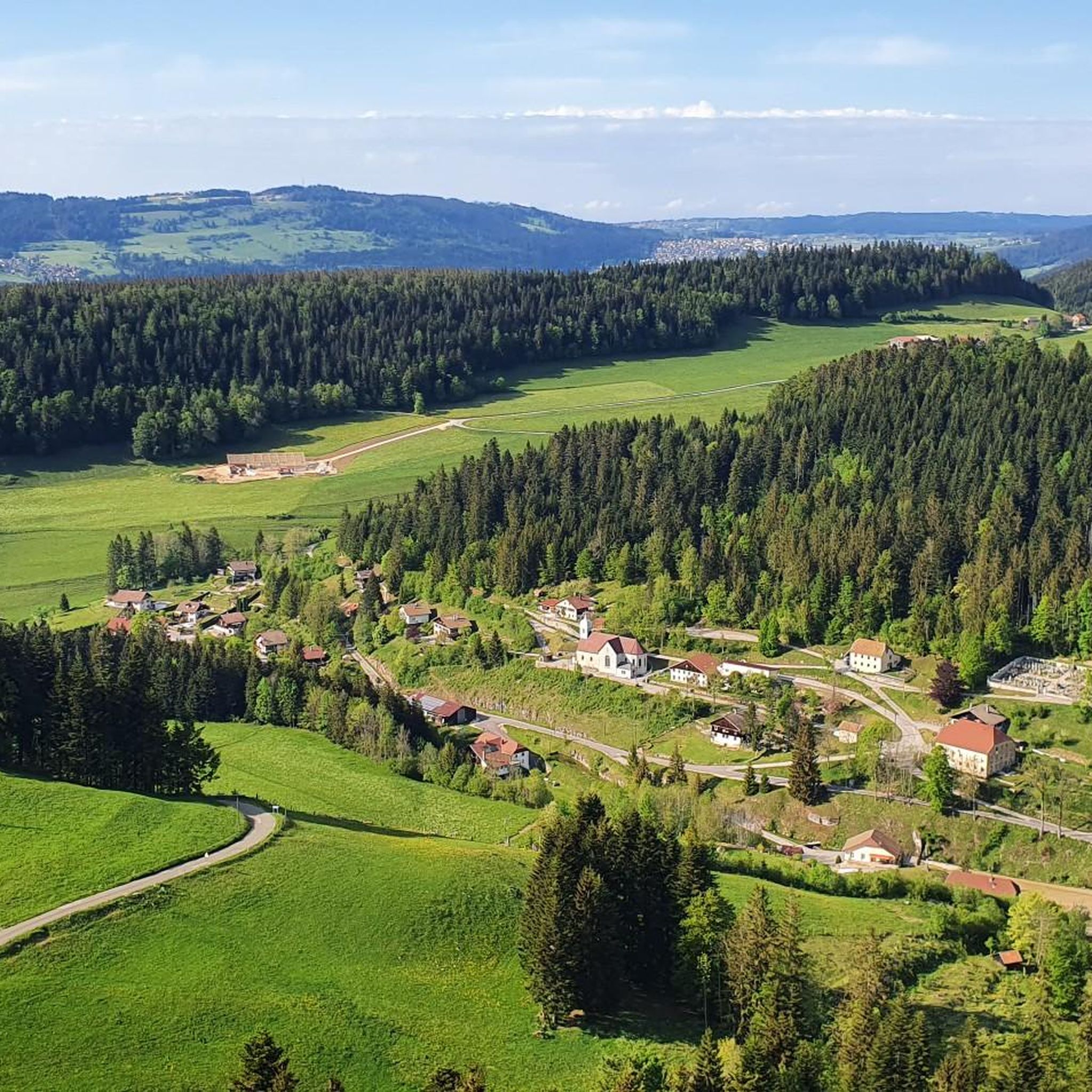
Hiking around Montlebon offers diverse landscapes within the Jura mountains, characterized by mid-mountain terrain, extensive forests, and pastures of the Haut-Doubs. The region features long ridges and steep cliffs, with the Doubs River winding through gorges and Lac de Moron adding significant water features. Hikers can explore varied elevations and wooded areas, providing both shaded paths and panoramic viewpoints.
Best hiking trails around Montlebon
- The most popular hiking route is Le Pont Rouge loop from Montlebon, a 3.7 miles…
Last updated: September 28, 2026
3.3
(3)
60
hikers
6.16km
01:39
70m
70m
Easy hike. Great for any fitness level. Easily-accessible paths. Suitable for all skill levels.
3.0
(2)
31
hikers
Moderate hike. Good fitness required. Mostly accessible paths. Sure-footedness required.

4.8
(4)
20
hikers
Moderate hike. Good fitness required. Easily-accessible paths. Suitable for all skill levels.
5
hikers
11.5km
03:13
220m
220m
Moderate hike. Good fitness required. Easily-accessible paths. Suitable for all skill levels.
3
hikers
11.4km
03:12
220m
220m
Moderate hike. Good fitness required. Easily-accessible paths. Suitable for all skill levels.
Get access to more routes and recommendations from other explorers.
Already have an account?
Our route recommendations are based on thousands of hikes, rides, and runs completed by other people on komoot.
Start today with a free account
Your next adventure awaits.
Tips from the Community

The Bournes Trail is the current border between Switzerland and France and historic markers mark the border all along this trail. The views of France and Switzerland will delight you at every turn.
2
0

Breathtaking view even in foggy weather..
0
0

From the road, the bell tower of the Saint-Anne chapel stands out behind a few fir trees and next to a typical Comtoise farm. A chapel located at an altitude of 1088m, in an incredible natural setting, and where an association rings the bell (in the name of Anne Marie Joséphine Adelaïde) every year on July 24 for a traditional open-air mass.
0
0

This small bridge offers a nice view of the Doubs.
1
0

Belvedere above the village Derrière-le-Mont, 5 minutes from the GR5 and the GTJ.
0
0

The cave of the Grande Cave is a special cavity for the piece of history to which it bears witness. On several occasions, during the warlike episode of the Ten Years' War (1634-1644), the inhabitants in exile took refuge in the woods and the caves lost in the mountains, including the Grande Cave. Today, the cellar is accessible to the public. Note, however, that a cable attached to the wall allows you to travel the last 100 meters.
1
0
Frequently Asked Questions
How many hiking trails are available around Montlebon?
Montlebon offers a diverse network of 17 hiking trails, catering to various skill levels. You'll find 5 easy routes, 11 moderate excursions, and 1 more challenging option, allowing you to explore the Jura mountains' unique landscapes.
Are there any family-friendly hiking options in Montlebon?
Yes, Montlebon has 5 easy routes that are suitable for families. These trails often feature gentle terrain through forests and pastures, providing a pleasant experience for all ages. The region's mid-mountain landscapes and wooded areas offer shaded paths, ideal for a family outing.
Can I find circular hiking routes in Montlebon?
Many of Montlebon's trails are circular, allowing you to start and end at the same point. For example, the Le Pont Rouge loop from Montlebon is an easy 3.7-mile (6.0 km) route, and the Grotte de la Grande Cave – Great Cliff Cross loop offers a moderate 8.1-mile (13.0 km) adventure.
What kind of natural attractions can I expect to see on a hike in Montlebon?
Montlebon is rich in natural features. You can discover impressive waterfalls like the Saut du Doubs Waterfall, explore natural curiosities such as the Grotte du Poucey (Poncey Cave) and the Grande Cave, or enjoy the serene beauty of Lac de Moron. The region also features dramatic gorges and the winding Doubs River.
Are there any good viewpoints along the hiking trails in Montlebon?
Absolutely. The mountainous terrain of Montlebon provides numerous opportunities for panoramic views. From various summits and viewpoints, you can enjoy splendid vistas of the surrounding region. Mont Châteleu, for instance, offers breathtaking views of the Alps on clear days, and the Jurgensen Tower provides a 360° perspective of the Doubs basins.
What do other hikers say about the trails in Montlebon?
The hiking routes in Montlebon are highly rated by the komoot community, with an average score of 4.5 stars from over 1,100 reviews. Hikers often praise the diverse landscapes, from dense forests to open pastures, and the well-maintained paths that lead to stunning natural features like waterfalls and caves.
Are there any trails that pass by interesting landmarks or cultural sites?
Yes, some routes in Montlebon allow you to discover charming French villages and historic farms of the watchmaking region. You might also encounter points of interest like Remonot and its cave chapel. For a significant natural landmark, consider a route near the Creux du Van canyon.
What is the best season for hiking in Montlebon?
The mid-mountain climate of Montlebon makes it enjoyable for hiking through much of the year. Spring and autumn offer pleasant temperatures and vibrant scenery, while summer provides warm, sunny days with shaded forest paths. Winter hiking is also possible, but conditions can vary, especially at higher elevations, so checking local weather is advisable.
Are dogs allowed on the hiking trails in Montlebon?
Generally, dogs are welcome on trails in the Montlebon region, especially in the extensive forests and open pastures. However, it's always recommended to keep them on a leash, particularly in nature reserves or near livestock, and to check specific trail regulations if posted.
Are there any less crowded hiking options for a more peaceful experience?
While popular routes like the Le Pont Rouge loop can see more visitors, Montlebon's extensive network of 17 trails means you can often find quieter paths. Exploring some of the moderate routes, such as the Woodland path – Le Pont Rouge loop, which is longer, might offer a more secluded experience through the region's dense forests.
What are some of the longer, more challenging hikes available?
For those seeking a more demanding trek, Montlebon offers routes that explore varied terrain, including long ridges and steep cliffs. The Grotte de la Grande Cave – Great Cliff Cross loop is a moderate 8.1-mile (13.0 km) path with significant elevation changes, providing a good challenge and exploring natural curiosities.
Most popular routes around Montlebon
Most popular attractions around Montlebon

Get inspired with the komoot mobile app


Explore more
Browse the best Hikes in other regions.
