The best road cycling routes around Ceignes
4.4
(113)
2,841
riders
134
rides
Road cycling around Ceignes offers a diverse landscape characterized by rolling hills, serene lakes, and river valleys. The region features a mix of open roads and routes that traverse through forested areas, providing varied terrain for cyclists. Elevation changes are common, with several passes and viewpoints offering panoramic vistas. The area is suitable for exploring both challenging climbs and more gentle routes along water bodies.
Best road cycling routes around Ceignes
- The most popular road cycling route is Matafelon-Granges –…
Last updated: November 3, 2026
4.5
(6)
83
riders
54.4km
02:33
640m
640m
Moderate road ride. Good fitness required. Mostly well-paved surfaces and easy to ride.
5.0
(1)
44
riders
35.5km
01:38
390m
390m
Moderate road ride. Good fitness required. Mostly well-paved surfaces and easy to ride.

4.0
(2)
19
riders
51.8km
02:40
870m
870m
Moderate road ride. Good fitness required. Mostly well-paved surfaces and easy to ride.
5.0
(1)
17
riders
37.8km
02:00
670m
670m
Moderate road ride. Good fitness required. Mostly well-paved surfaces and easy to ride.
23
riders
21.2km
01:09
440m
440m
Moderate road ride. Good fitness required. Mostly well-paved surfaces and easy to ride.
Get access to more routes and recommendations from other explorers.
Already have an account?
Our route recommendations are based on thousands of hikes, rides, and runs completed by other people on komoot.
Start today with a free account
Your next adventure awaits.

Tips from the Community

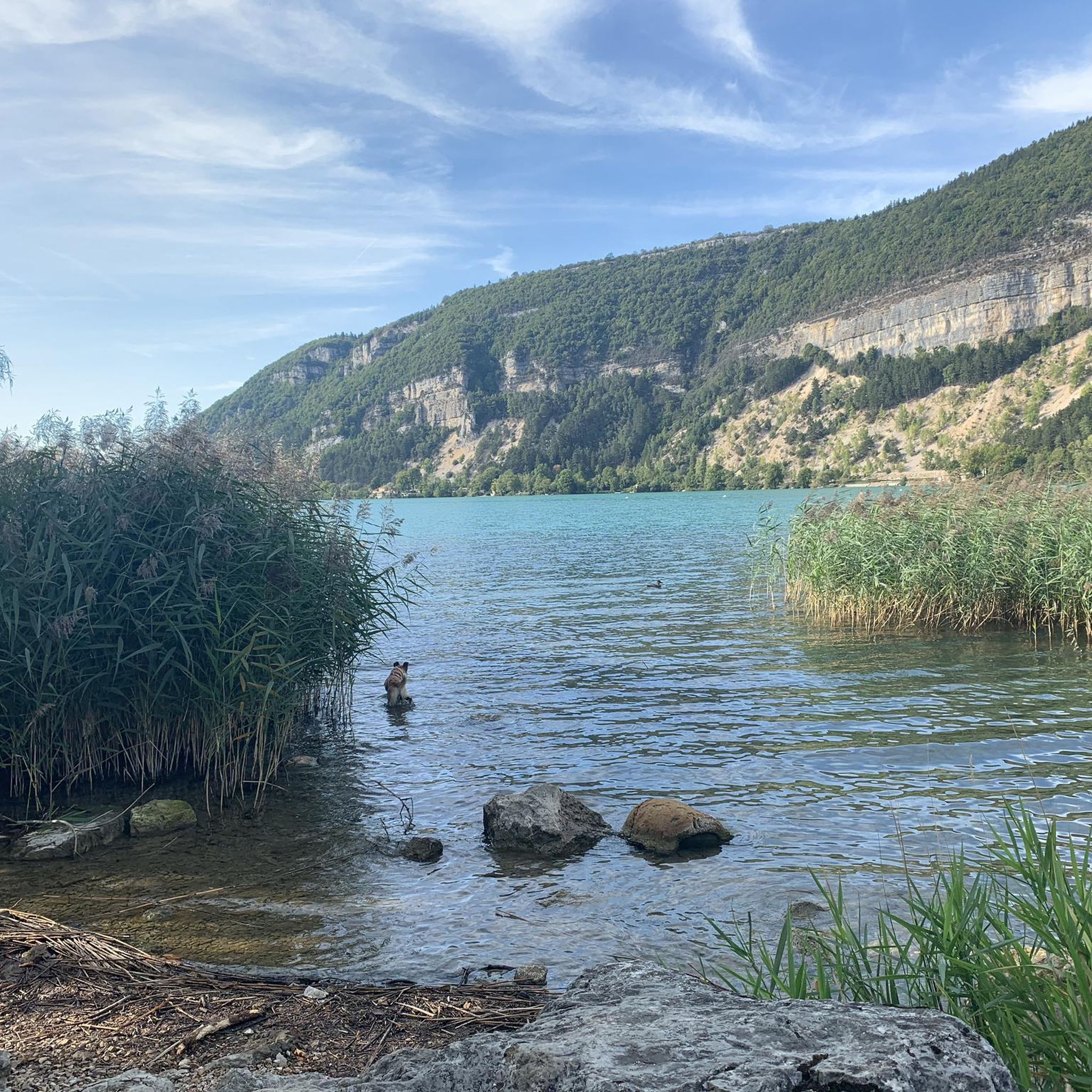
The Lac de Nantua is a superb body of water of 141 hectares. In the heart of the Jura, it offers an ideal setting for practicing a multitude of sports. It is even possible to swim in its waters.
2
0
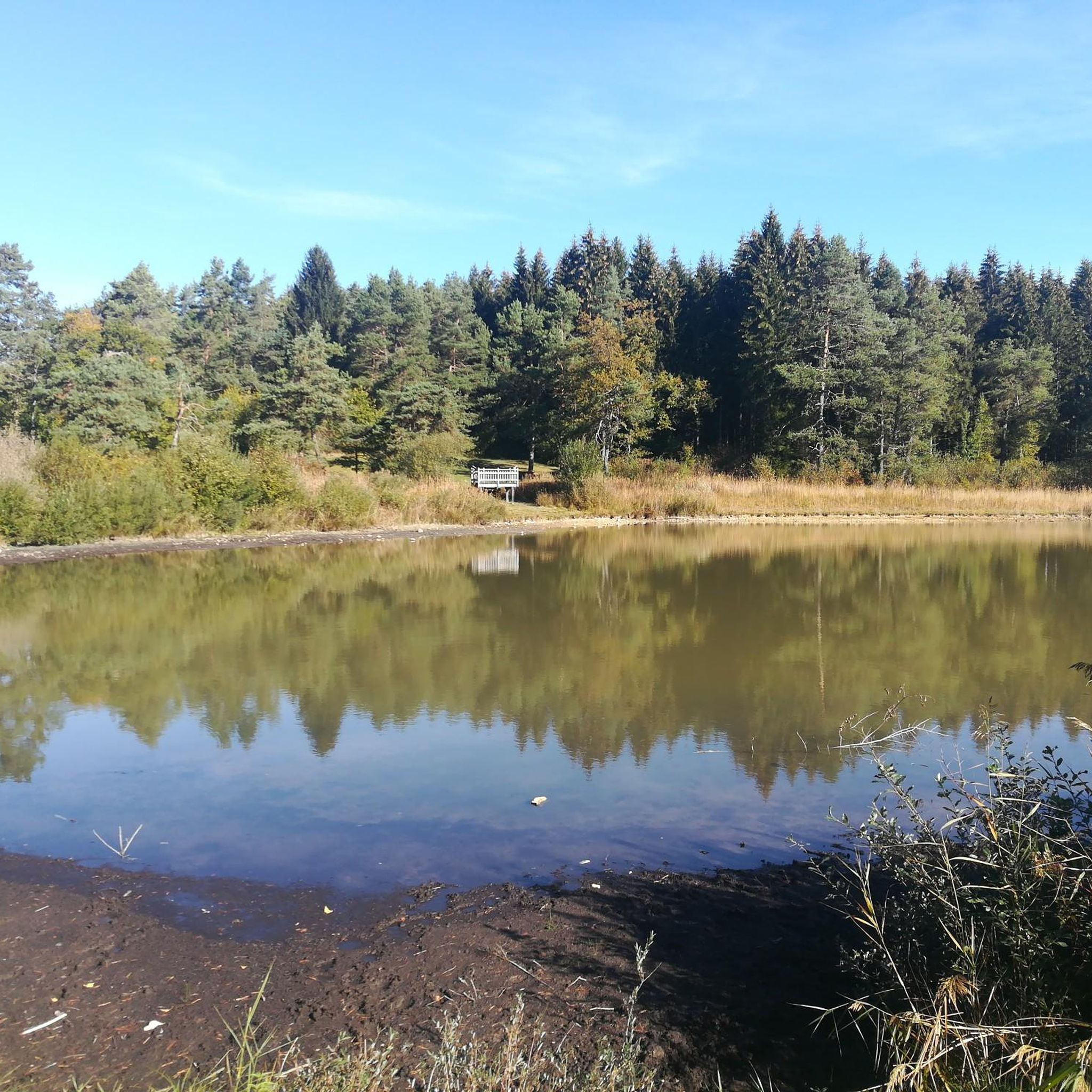
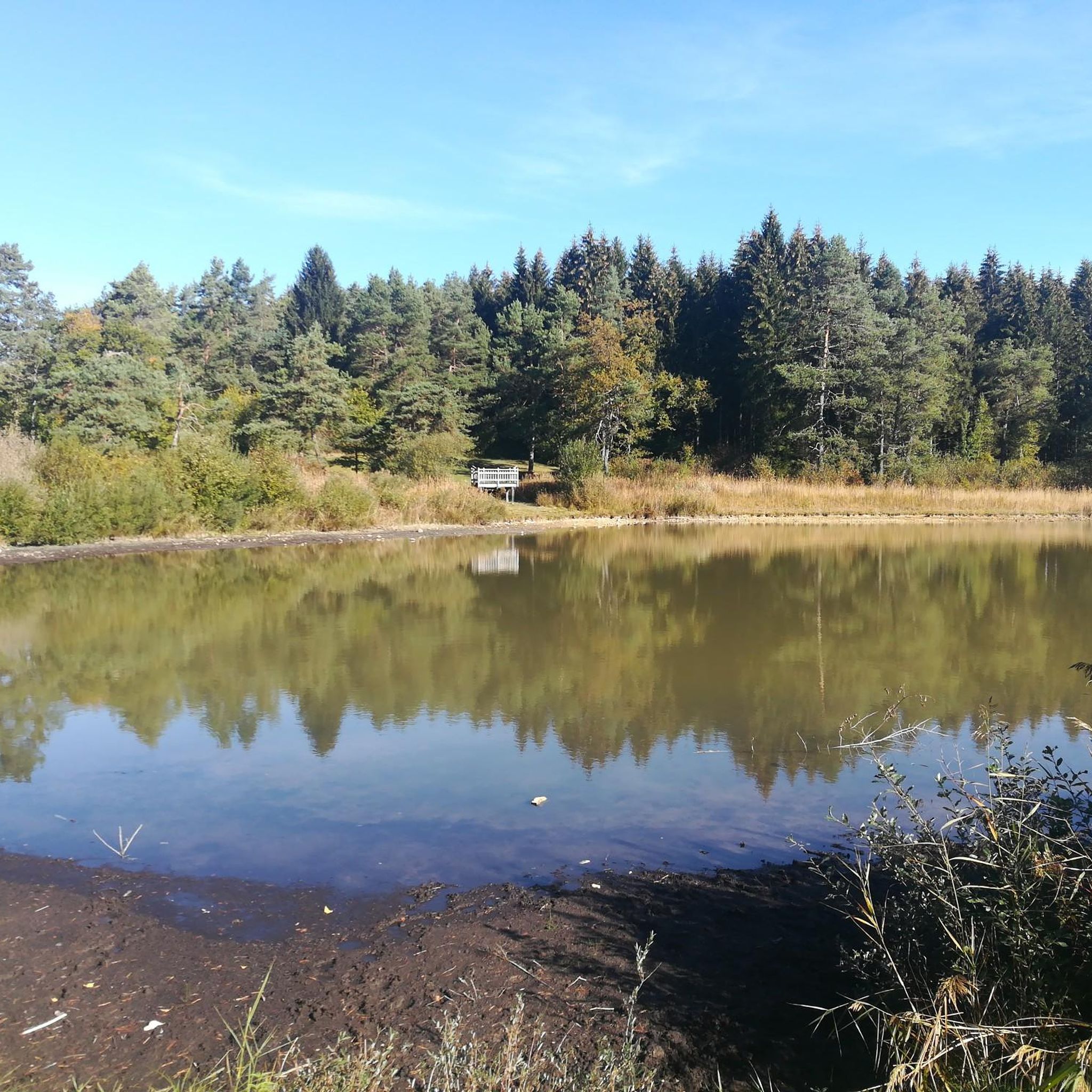
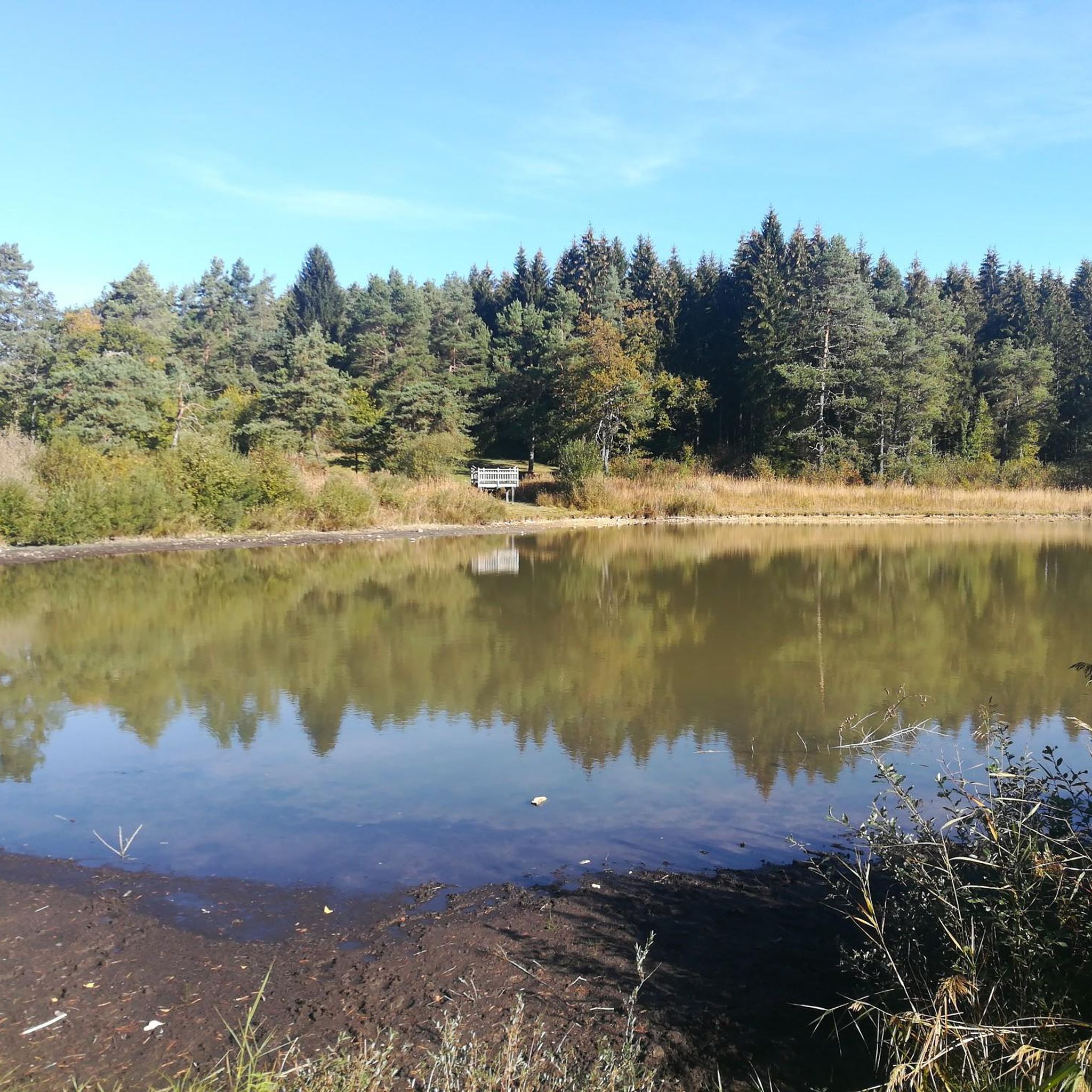
The Marron ponds are named after a family from Brénod, it is not a reference to the color of the water. Only one of them remains filled with water all year round. This one served as a water reserve and fishing spot for the monks of the Meyriat abbey. In spring, a multitude of water lilies cover the surface.
0
0

Beautiful, simple, easy walk; lots of traffic noise on the "road" section, a bit of a shame, but the color of the water is magical
2
0


Small pass between Ain and Oignin. Beautiful church in the village, the hotel looked rather closed.
3
0
A small church in Nantua worth seeing. Unfortunately, the town suffers greatly from the traffic on the D1084. The nearby motorway costs money.
3
0
Small pass, but no way to drive into the valley on the D39. Road closed. I didn't even try.
3
0

Impressive rock above Mantua
0
0
Frequently Asked Questions
What types of road cycling routes can I find around Ceignes?
Ceignes offers a diverse range of road cycling routes, characterized by rolling hills, serene lakes, and river valleys. You'll find a mix of open roads and routes traversing forested areas, with options for both challenging climbs and more gentle rides along water bodies. There are over 130 routes, catering to various skill levels.
Are there easy road cycling routes suitable for beginners in Ceignes?
Yes, Ceignes has several easy road cycling routes perfect for beginners or those seeking a more relaxed ride. There are 8 routes specifically categorized as easy. While specific routes aren't detailed here, these typically feature less elevation gain and shorter distances, allowing you to enjoy the scenery without excessive challenge.
What are some challenging road cycling routes for experienced riders?
For experienced road cyclists, Ceignes offers 66 difficult routes with significant elevation changes and longer distances. An example is the Col de la Cheminée – Rochette Pass loop from Maillat, which covers 63.6 miles (102.3 km) with over 1,100 meters of elevation gain, providing a demanding and rewarding experience.
What can I see along the road cycling routes around Ceignes?
Many routes offer scenic views and pass by notable attractions. You might cycle past the beautiful Lake Nantua, or the impressive Cize-Bolozon Viaduct. Other points of interest include the Jarbonnet Rocks and the historic Cerdon Caves.
Are there any road cycling routes that feature waterfalls?
Yes, the region around Ceignes includes natural highlights such as waterfalls. You can find routes that pass near the Cascade de la Pisse Vache, offering a refreshing stop and picturesque views during your ride.
What is the best season for road cycling in Ceignes?
The diverse landscape of Ceignes makes it enjoyable for road cycling across multiple seasons. Spring and autumn offer pleasant temperatures and vibrant scenery, while summer provides longer daylight hours. The region's mix of forested areas and open roads means you can find suitable conditions for riding throughout much of the year, though checking local weather is always recommended.
Are there many loop road cycling routes in the Ceignes area?
Yes, many of the road cycling routes around Ceignes are designed as loops, allowing you to start and finish at the same point. Examples include the Lac de Coiselet – Thoirette on the Ain River loop from Maillat and the Corlier – View over Cerdon loop from Saint-Martin-du-Frêne, which offer varied terrain and scenic vistas.
What do other road cyclists say about the routes in Ceignes?
The road cycling routes in Ceignes are highly regarded by the komoot community, holding an average rating of 4.6 stars from over 100 reviews. Cyclists often praise the varied terrain, scenic views of lakes and valleys, and the blend of challenging ascents and flatter sections that cater to different preferences.
Are there any routes that offer panoramic views?
Absolutely. The region is known for its elevation changes and passes, providing numerous viewpoints. Routes like the Corlier – View over Cerdon loop from Saint-Martin-du-Frêne lead through elevated terrain with expansive views over Cerdon, offering stunning panoramic vistas of the surrounding landscape.
Can I find road cycling routes that pass by Lake Nantua?
Yes, Lake Nantua is a prominent feature in the region, and several road cycling routes offer views of or pass directly by it. The Lac de Nantua – Lake Nantua loop from Saint-Martin-du-Frêne is a great option for experiencing the beauty of the lake, offering a moderate ride with picturesque lakeside stretches.
Are there any historical or cultural landmarks along the routes?
Beyond natural beauty, the area also features historical points of interest. For example, you might encounter the Memorial to the Maquis of Ain and Haut-Jura, a significant site commemorating local history, on some of the routes.
What is the typical distance and duration for road cycling routes in Ceignes?
Route distances and durations vary widely. Moderate routes often range from 30 to 45 miles (50-70 km) and can take 2.5 to 4 hours to complete, such as the Matafelon-Granges – View of Lake Nantua loop from Ceignes. More difficult routes can be longer and take more time due to significant elevation gains.
Most popular attractions around Ceignes

Get inspired with the komoot mobile app


Explore more
Browse the best Road cycling routes in other regions.
