The best MTB trails around Brénod
4.4
(208)
1,129
riders
106
rides
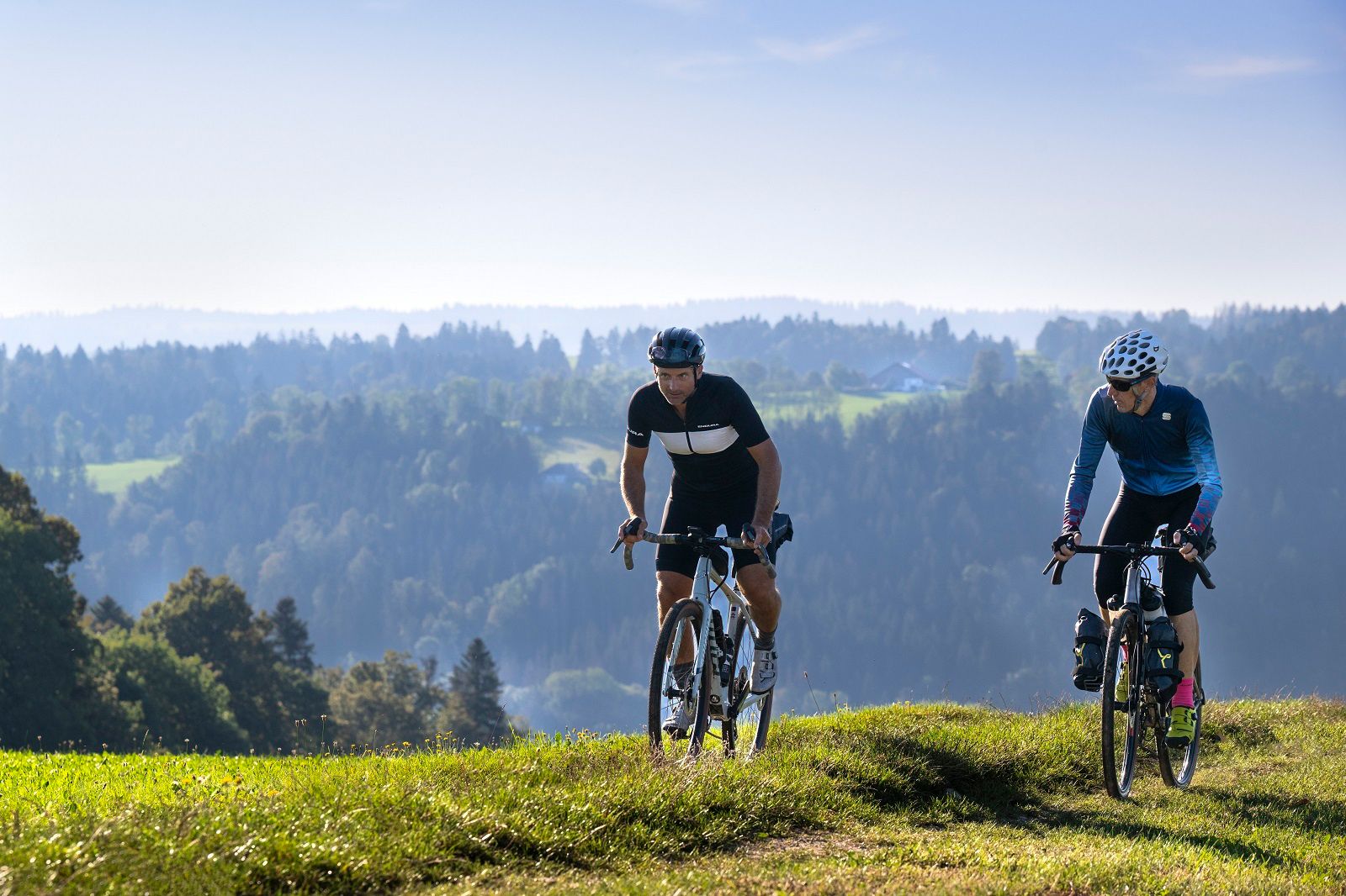
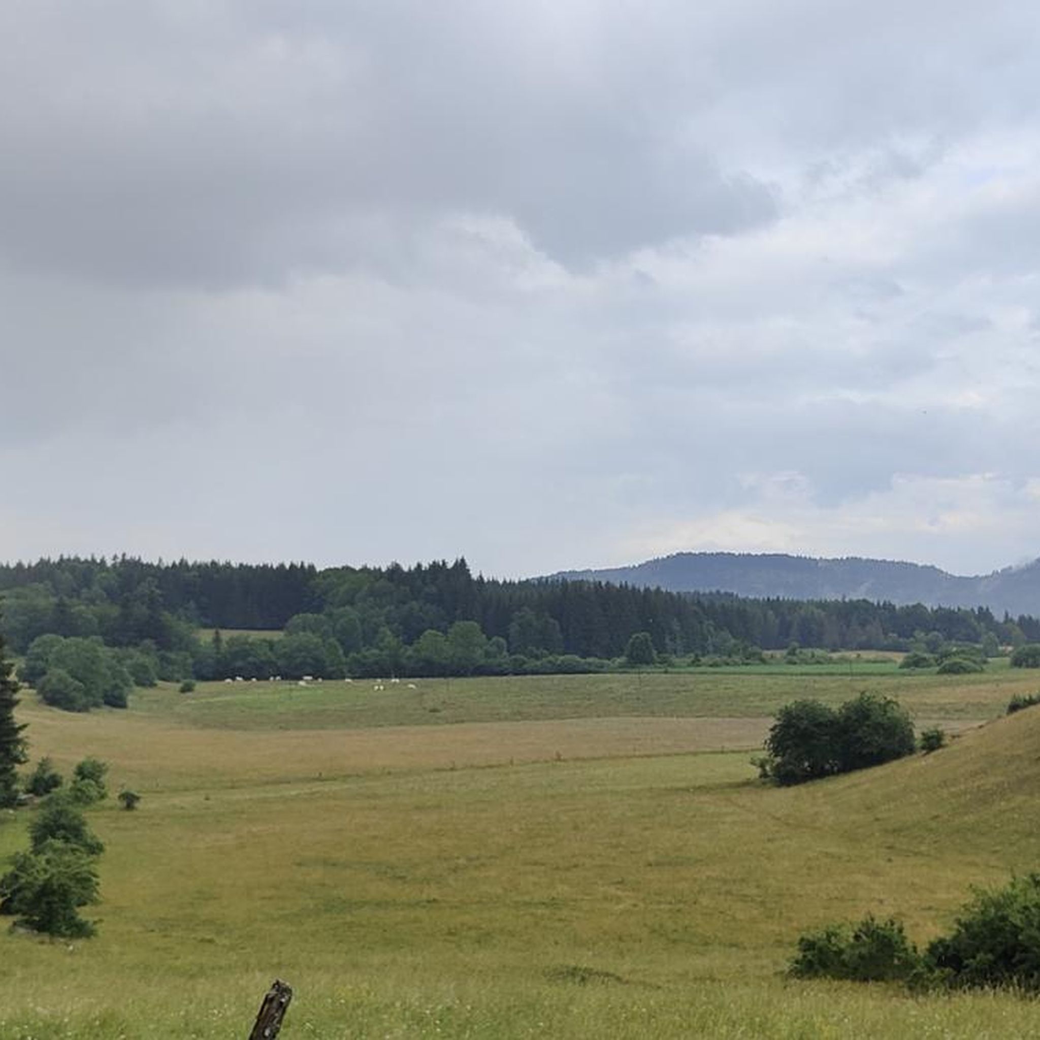
Mountain biking around Brénod offers diverse landscapes and a well-developed network of routes in the Ain department of the Auvergne Rhône-Alpes region. The terrain features a mix of forest tracks, mountain trails, and open alpine fields, providing varied experiences for cyclists. Brénod is situated within the Ain mountains, an area known for its opportunities across different mountain biking disciplines. The region is characterized by its natural beauty, including the expansive Plateau de Retord and views of Mont Blanc from higher…
Last updated: October 1, 2026
5.0
(1)
8
riders
36.7km
03:21
750m
750m
Moderate mountain bike ride. Good fitness required. Suitable for all skill levels.
5.0
(1)
6
riders
52.9km
04:37
1,050m
1,050m
Hard mountain bike ride. Very good fitness required. Suitable for all skill levels.

4.0
(1)
7
riders
48.7km
03:39
650m
650m
Moderate mountain bike ride. Good fitness required. Advanced riding skills necessary.
4.0
(1)
3
riders
32.8km
02:28
570m
570m
Moderate mountain bike ride. Good fitness required. Suitable for all skill levels.
15.9km
02:05
700m
700m
Hard mountain bike ride. Good fitness required. Advanced riding skills necessary. Some portions of the route may require you to push your bike.
Get access to more routes and recommendations from other explorers.
Already have an account?
Our route recommendations are based on thousands of hikes, rides, and runs completed by other people on komoot.
Start today with a free account
Your next adventure awaits.

Other adventures around Brénod

Tips from the Community

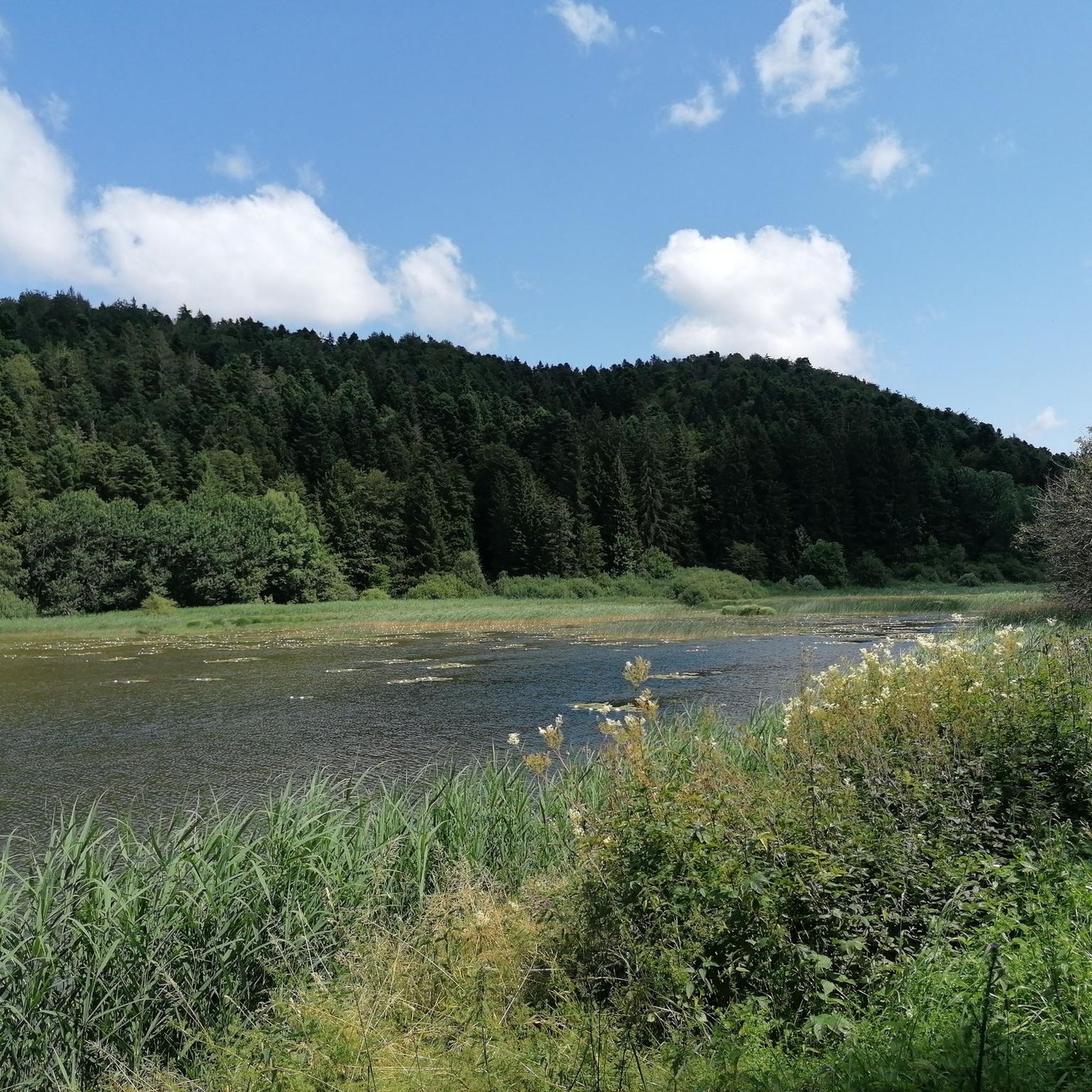
Magnificent brown ponds, calm and relaxing, a must-see stop!
0
0

The Lac de Nantua is a superb body of water of 141 hectares. In the heart of the Jura, it offers an ideal setting for practicing a multitude of sports. It is even possible to swim in its waters.
2
0
Beautiful, simple, easy walk; lots of traffic noise on the "road" section, a bit of a shame, but the color of the water is magical
2
0

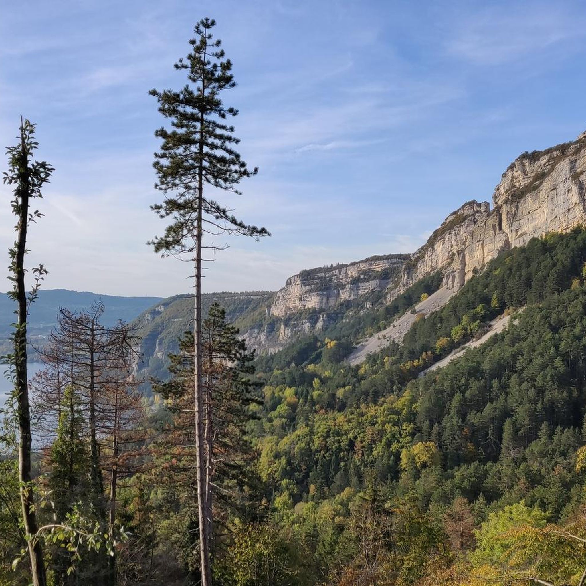
A 10 km climb from the small roundabout in Châtillon, it's more like 14 km from the Nantua road or the center of Bellegarde. The gradient is fairly steady, ranging from 5.5% to 7.2%, with about ten small steep sections at +8.5%. Very quiet, with very few cars. The road is generally in good condition, but nothing more. There are some beautiful views along the way.
1
1

Extraordinary panorama, ideal place for a break on the GTJ route, a picnic or even a stopover in a gîte (booking: https://refugelaconay.clubalpinbourgenbresse.fr/reservation/)
0
0

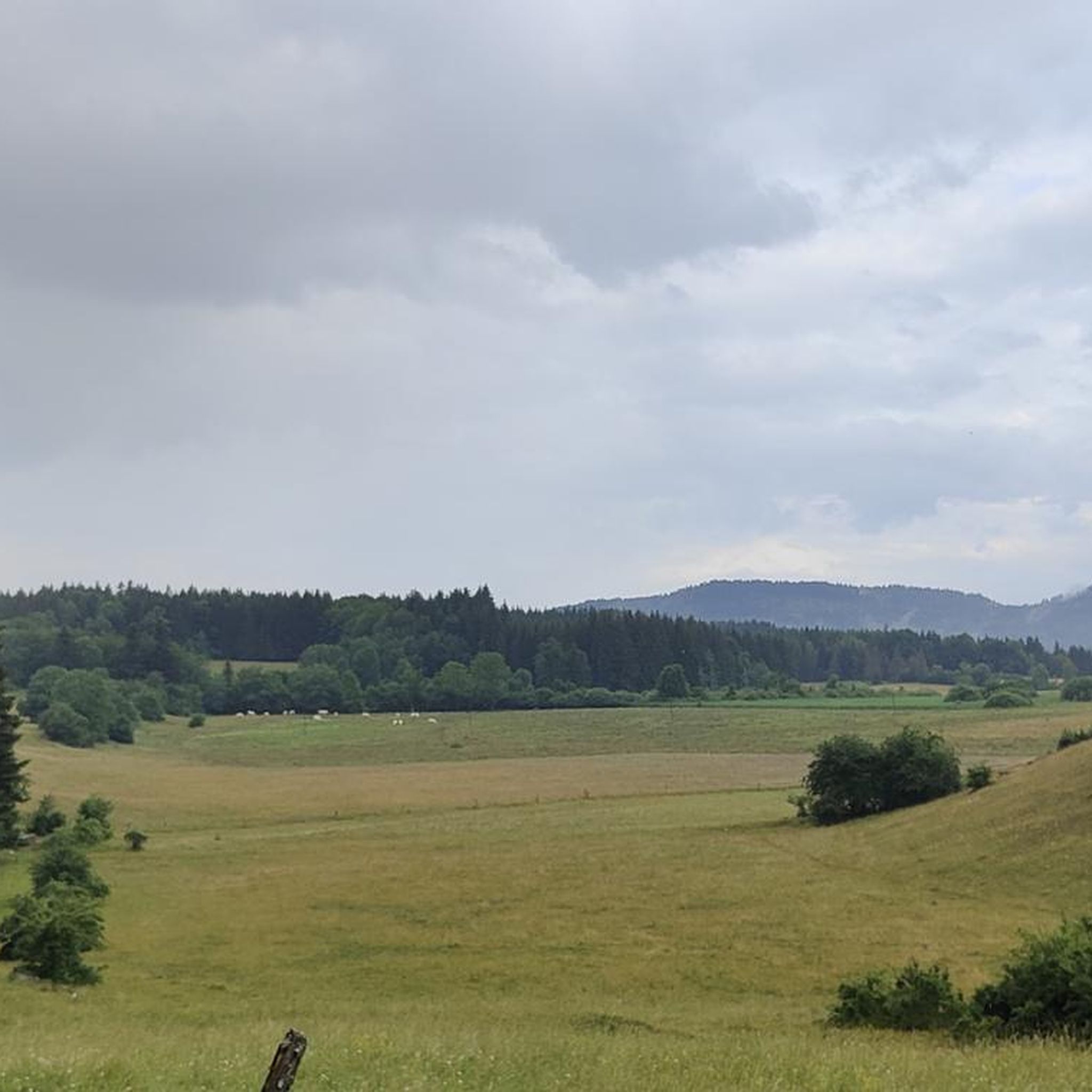
The Col de Cuvillat connects Brénod to Champdor in the heart of Haut-Bugey. Easily accessible, it winds through forests and high-altitude meadows and reaches an altitude of 1,073 meters.
0
1

This human-sized resort offers many activities available all year round. It is the starting point for VTT, Gravel and hiking circuits. It also has a biathlon stadium usable in summer and winter, unique in the Ain. Ideal for exploring the Jura massif.
0
0
Stele paying tribute to the Resistance fighters who took to the Maquis on the Plateau de Retord during the Second World War. Several information panels on the history of the Resistance fighters near the various farms occupied at the time.
0
0
Frequently Asked Questions
How many mountain bike trails are there around Brénod?
There are over 90 mountain bike trails available around Brénod, offering a wide range of options for different skill levels and preferences. These include 18 easy routes, 49 moderate routes, and 24 difficult routes.
What kind of terrain can I expect on the mountain bike trails in Brénod?
The mountain bike trails around Brénod feature diverse terrain, including forest tracks, mountain trails, and open alpine fields. You'll encounter varied landscapes, from the expansive Plateau de Retord to the dense Forest of the Moussières, providing a dynamic riding experience.
When is the best time of year for mountain biking in Brénod?
The best time for mountain biking in Brénod is generally from spring through autumn, when the weather is mild and the trails are clear of snow. The region's higher elevations, like the Plateau de Retord, can offer spectacular views, but may be subject to snow earlier or later in the season.
Are there any family-friendly mountain bike trails in Brénod?
Yes, Brénod offers several easy mountain bike trails suitable for families. For example, the Belleroche Pass loop from Le Petit-Abergement is an easy route that covers 22.4 km with moderate elevation gain, making it a good option for a family outing.
Can I bring my dog on the mountain bike trails in Brénod?
Many trails in the Brénod area are dog-friendly, but it's always recommended to check local regulations and signage for specific routes. Ensure your dog is well-behaved, on a leash where required, and that you carry waste bags to maintain the natural environment.
What scenic views or natural attractions can I find along the mountain bike trails?
Mountain biking around Brénod offers stunning natural attractions. On clear days, higher points on the Plateau de Retord can provide breathtaking views of Mont Blanc. You can also discover beautiful water features like Lake Nantua, known for its sapphire and emerald hues, and the refreshing Melogne Waterfalls near the 'Trou de la Marmite'.
Are there circular mountain bike routes available in Brénod?
Yes, many mountain bike routes in Brénod are designed as loops, allowing you to start and finish at the same point. An example is the Plans d'Hotonnes Station – Brown Ponds loop from Brénod, a moderate 34 km route, or the shorter Brown Ponds – Brénod loop from Brénod, which is 11.8 km.
Is there public transport access to the mountain bike trailheads in Brénod?
Public transport options directly to all mountain bike trailheads in Brénod may be limited. It's advisable to check local bus schedules or consider driving to access the starting points of the trails. For general information about the region's events, you might find resources on Ain Tourisme.
Where can I find parking for mountain biking in Brénod?
Parking is generally available in and around Brénod, particularly near popular trailheads and villages. Specific parking areas are often indicated on local maps or at the start of marked routes. It's recommended to check the starting points of individual routes for precise parking information.
What do other mountain bikers say about the trails in Brénod?
The mountain bike trails in Brénod are highly rated by the komoot community, with an average score of 4.4 stars from over 115 reviews. Mountain bikers often praise the diverse terrain, the well-developed network of routes, and the stunning natural beauty of the Ain department.
Are there challenging mountain bike trails for experienced riders?
Yes, Brénod offers several difficult mountain bike trails for experienced riders seeking a challenge. An example is the Mont Blanc view – View of the Monts d'Ain loop from Nantua, a 15.9 km route with significant elevation gain, offering challenging climbs and potential Mont Blanc views on clear days.
Are there any lakes or ponds I can visit while mountain biking?
Absolutely. The region features several beautiful water bodies. You can cycle past the Lake Nantua, a stunning glacial lake, or explore routes that pass by the Brown Ponds. The Forest of the Moussières also has nearby Maron ponds, ideal for a scenic break.
Most popular attractions around Brénod

Get inspired with the komoot mobile app


Explore more
Browse the best MTB trails in other regions.
