The best road cycling routes around Haute-Rivoire
4.3
(62)
1,481
riders
152
rides
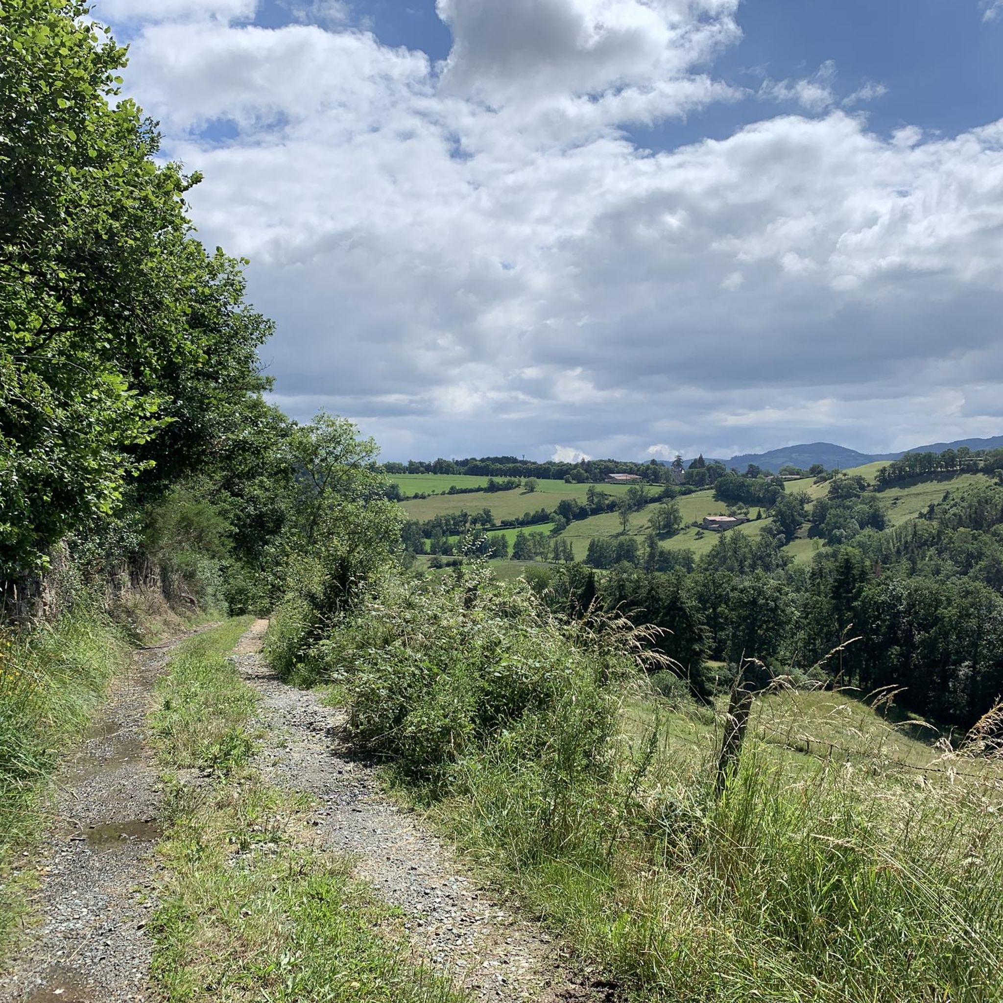
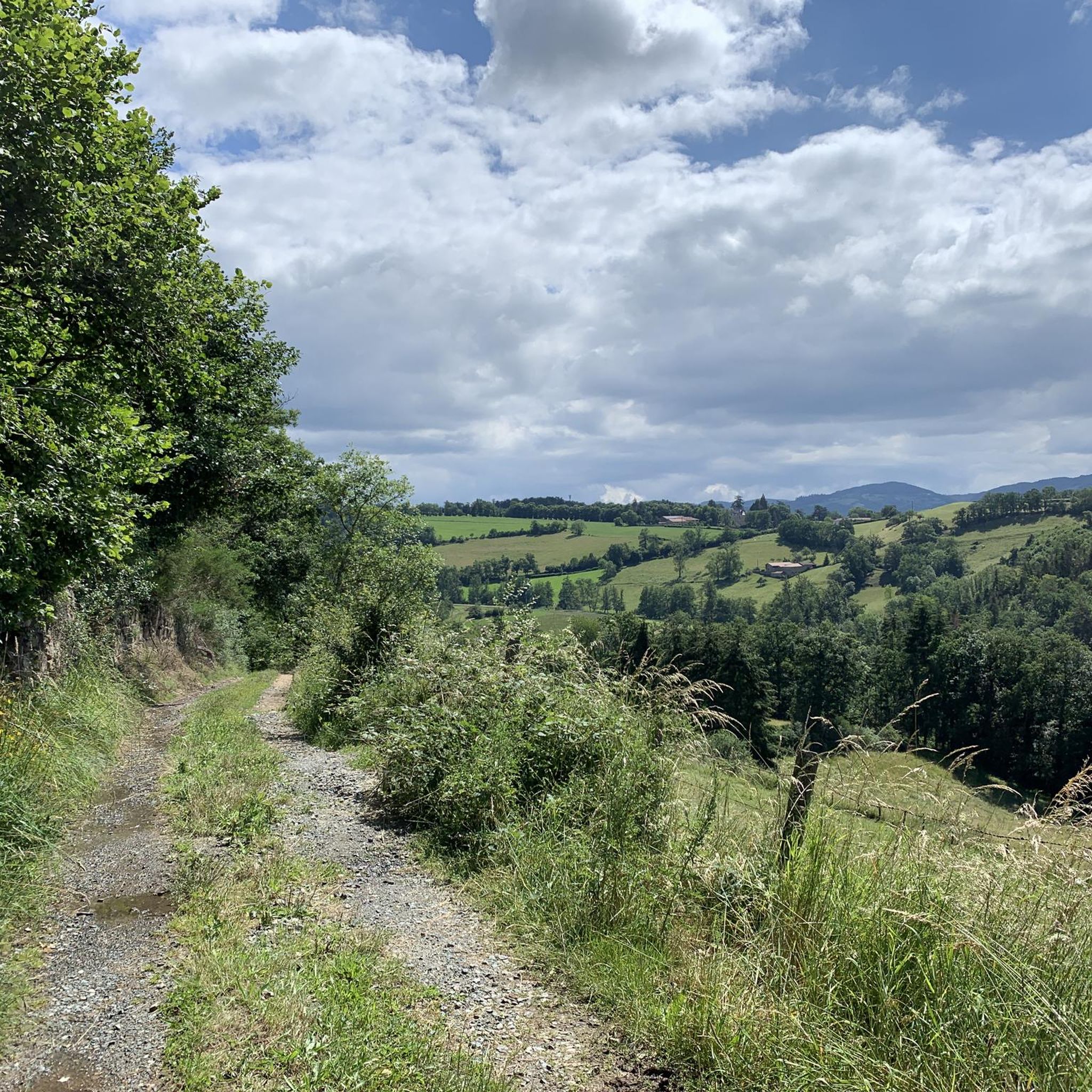
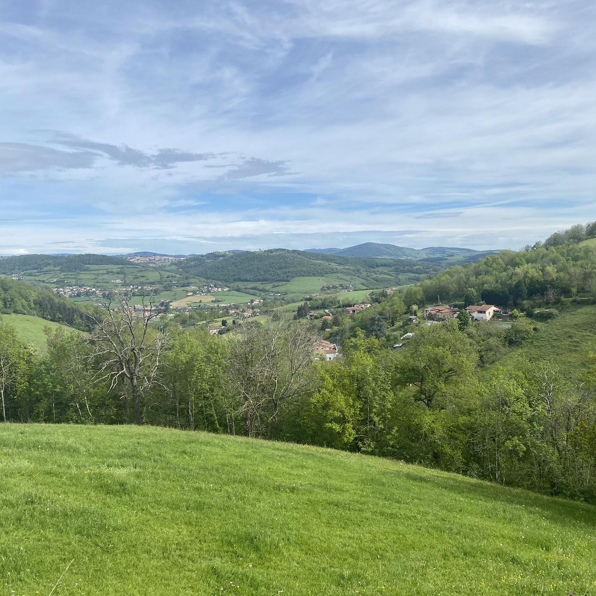
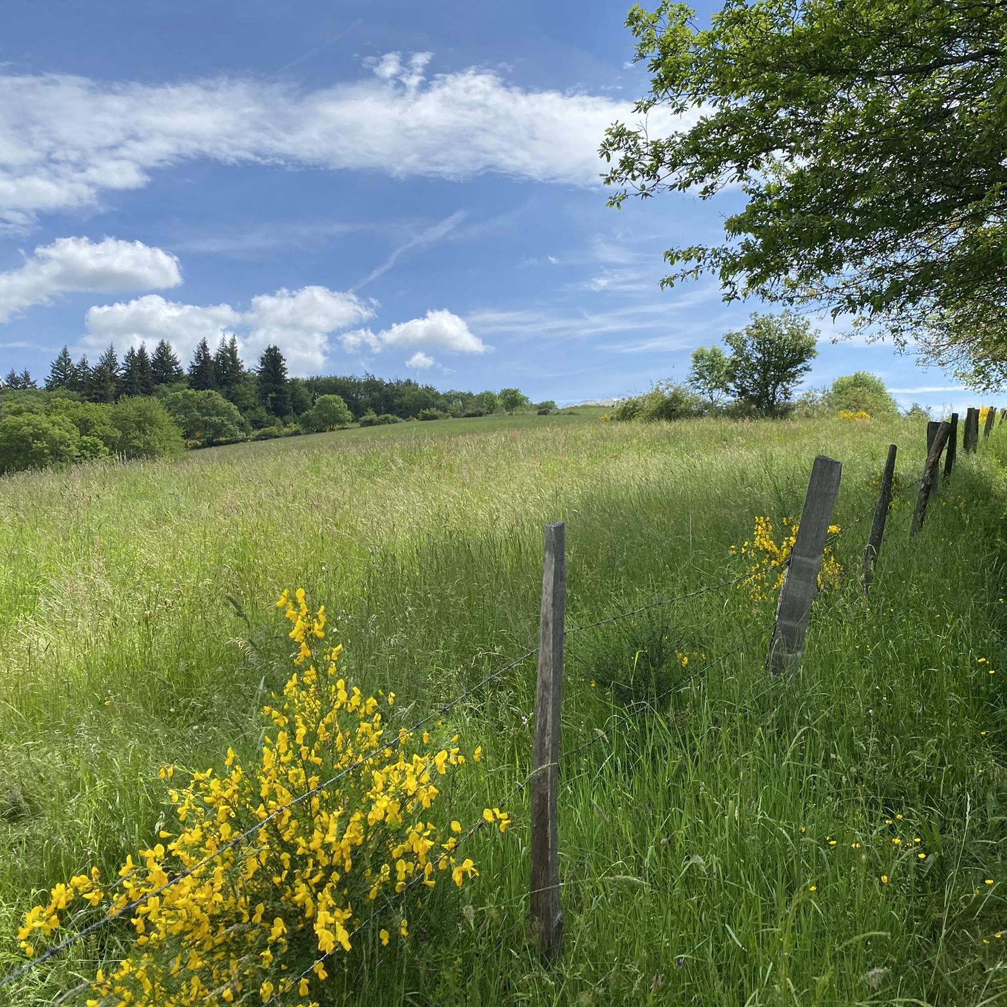
Road cycling around Haute-Rivoire features a landscape characterized by rolling hills and valleys, typical of the Monts du Lyonnais region. The terrain includes a mix of ascents and descents, with routes often traversing agricultural lands and wooded areas. This area provides varied gradients suitable for different road cycling experiences.
Best road cycling routes around Haute-Rivoire
- The most popular road cycling route is Tour of the Hauts du Lyonnais Loop, a 24.8 miles (39.9 km) trail that takes 2 hours…
Last updated: July 31, 2026
31
riders
39.9km
02:01
660m
660m
Moderate road ride. Good fitness required. Mostly well-paved surfaces and easy to ride.
43
riders
73.1km
03:49
1,340m
1,340m
Hard road ride. Very good fitness required. Mostly well-paved surfaces and easy to ride.

Sign up for free
3.0
(1)
44
riders
30.2km
01:20
260m
260m
Easy road ride. Great for any fitness level. Mostly well-paved surfaces and easy to ride.
5.0
(2)
23
riders
54.8km
02:51
960m
960m
Hard road ride. Very good fitness required. Mostly well-paved surfaces and easy to ride.
5.0
(1)
19
riders
40.1km
02:06
710m
710m
Moderate road ride. Good fitness required. Mostly well-paved surfaces and easy to ride.
Get access to more routes and recommendations from other explorers.
Sign up for free
Already have an account?
Our route recommendations are based on thousands of hikes, rides, and runs completed by other people on komoot.
Start today with a free account
Your next adventure awaits.
Login or Signup
Tips from the Community


The one of me prefers cabbage
0
0

No matter which way you climb, every climb has its charm.
0
0

The descent is really cool on the Chevinay side
1
0
Gentle climb on all sides for a great view from everywhere
0
0

In the year of grace 2025 (end of March): Toilets barricaded.
0
0

Frequently Asked Questions
How many road cycling routes are available around Haute-Rivoire?
There are over 140 road cycling routes available around Haute-Rivoire on komoot, offering a wide range of options for different skill levels and preferences.
Are there easy road cycling routes around Haute-Rivoire?
Yes, Haute-Rivoire offers several easy road cycling routes. For instance, The ponds of Feurs loop from Virigneux is an easy 18.7-mile (30.2 km) path featuring flatter sections, suitable for a more relaxed ride.
Where can I find more challenging road cycling routes in Haute-Rivoire?
For a more challenging experience, consider routes that tackle the region's rolling hills and passes. The The Route des Crêtes – Col de la Luère loop from Saint-Laurent-de-Chamousset is a difficult 45.4-mile (73.1 km) trail with significant elevation gain, leading through crests and mountain passes. Another demanding option is the Col des Brosses – Valley viewpoint loop from Saint-Laurent-de-Chamousset.
What are the typical distances and durations for road cycling routes in Haute-Rivoire?
Routes vary significantly. Easy routes like The ponds of Feurs loop from Virigneux are around 18.7 miles (30.2 km) and take about 1 hour 20 minutes. Moderate routes, such as the Tour of the Hauts du Lyonnais Loop, are typically around 24.8 miles (39.9 km) and can take 2 hours. Longer, more difficult routes can extend to over 45 miles (73 km) and require nearly 4 hours to complete.
What is the best season for road cycling in Haute-Rivoire?
The Monts du Lyonnais region, where Haute-Rivoire is located, is generally best for road cycling from spring through autumn. Spring offers lush green landscapes, while autumn provides beautiful foliage. Summer is also pleasant, though some climbs might be more strenuous in warmer temperatures. Always check local weather forecasts before heading out.
Are there scenic viewpoints along the road cycling routes in Haute-Rivoire?
Yes, the rolling hills of the Monts du Lyonnais offer several scenic viewpoints. You might encounter spots like the Croix-de-Part Pass, which provides expansive views of the surrounding valleys and agricultural lands. Many routes also traverse mountain passes such as Col de la Croix de Mazieux and Col des Brosses, offering picturesque vistas.
Are most road cycling routes around Haute-Rivoire circular?
Many of the road cycling routes around Haute-Rivoire are designed as loops, allowing you to start and finish at the same point. Examples include the Tour of the Hauts du Lyonnais Loop and The ponds of Feurs loop from Virigneux, which are popular circular options.
Are there cafes or places to stop for refreshments along the road cycling routes?
While specific cafes are not always marked on every route, many routes pass through or near small villages and towns in the Monts du Lyonnais, such as Saint-Symphorien-sur-Coise. These settlements often have local bakeries, cafes, or small shops where you can refuel and take a break. Planning your route with komoot allows you to identify potential stops.
What do other road cyclists enjoy the most about road cycling in Haute-Rivoire?
The area is highly rated by the komoot community, with an average score of 4.3 stars from over 60 reviews. Road cyclists often praise the varied terrain, which includes a good mix of ascents and descents through agricultural lands and wooded areas, providing diverse and engaging rides. The scenic beauty and the sense of exploration in the elevated Lyonnais region are also frequently highlighted.
Can I access road cycling routes in Haute-Rivoire using public transport?
Access to specific route starting points by public transport can be limited in rural areas like Haute-Rivoire. While some larger towns in the Monts du Lyonnais may have bus connections, it's advisable to check local public transport schedules and routes in advance if you plan to rely on it. Many cyclists prefer to drive to a convenient starting point with parking.
Are there family-friendly road cycling routes in Haute-Rivoire?
For families or those seeking less strenuous rides, focus on the 'easy' graded routes. The The ponds of Feurs loop from Virigneux is a good example, offering flatter sections around the ponds that are generally suitable for a more relaxed family outing. Always consider the distance and elevation profile to match the family's capabilities.
Most popular routes around Haute-Rivoire
Most popular attractions around Haute-Rivoire

Get inspired with the komoot mobile app


Explore more
Browse the best Road cycling routes in other regions.
