The best running trails around Condamine
4.6
(60)
3,664
runners
134
runs
Jogging routes around Condamine offer a diverse landscape for runners, characterized by winding country roads, lush valleys, and waterways. The region features varied terrain, including paths along the Condamine River and routes leading to several waterfalls. These running paths provide scenic views of the Great Dividing Range and surrounding mountains, making for engaging outdoor exercise.
Best jogging routes around Condamine
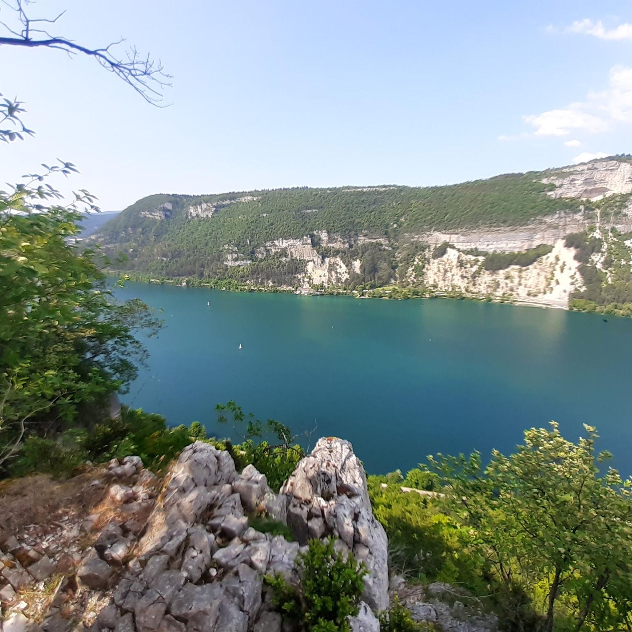
- The most popular jogging route is Panoramic view of the lake – View over Lake Nantua loop from Saint-Martin-du-Frêne,…
Last updated: October 1, 2026
5.0
(1)
62
runners
21.5km
03:31
1,050m
1,050m
Hard run. Very good fitness required. Sure-footedness, sturdy shoes and alpine experience required.
29
runners
Hard run. Very good fitness required. Sure-footedness, sturdy shoes and alpine experience required.

16
runners
11.9km
01:50
610m
610m
Hard run. Very good fitness required. Sure-footedness, sturdy shoes and alpine experience required.
17
runners
10.5km
01:06
60m
50m
Moderate run. Good fitness required. Mostly paved surfaces. Suitable for all skill levels.
4.0
(1)
9
runners
6.80km
00:46
100m
100m
Moderate run. Good fitness required. Mostly paved surfaces. Suitable for all skill levels.
Get access to more routes and recommendations from other explorers.
Already have an account?
Our route recommendations are based on thousands of hikes, rides, and runs completed by other people on komoot.
Start today with a free account
Your next adventure awaits.

Tips from the Community

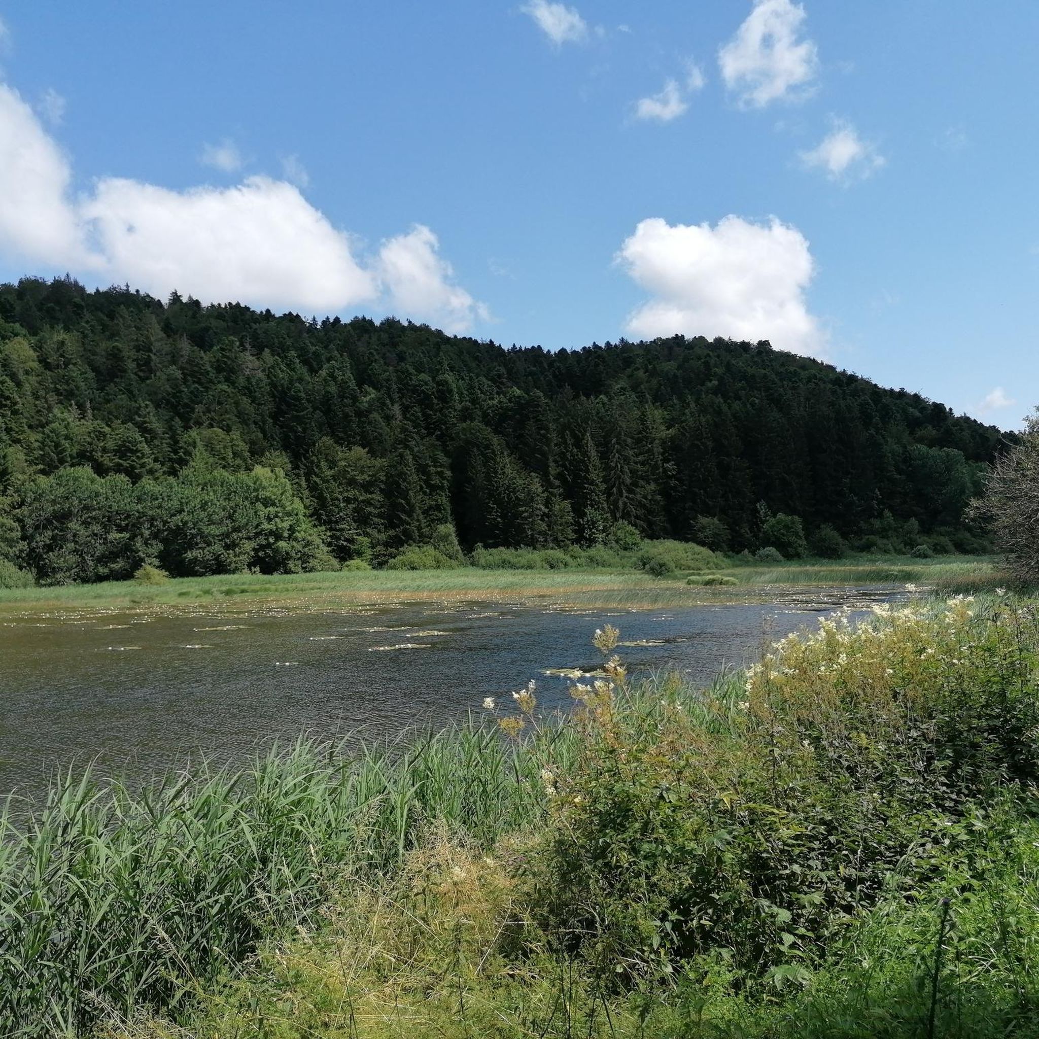
Unfortunately I was unlucky with the weather, but even as I drove past the place looked very nice, lots of grass and a place to swim.
1
0

Still tracks but very nice route with a nice climb
1
0
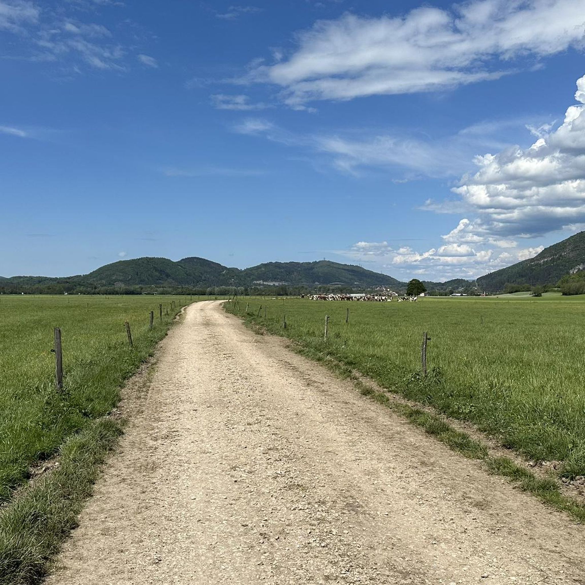
Beautiful path, probably busier when the weather is nice. If I read it correctly, the small road should be closed on weekends.
3
0

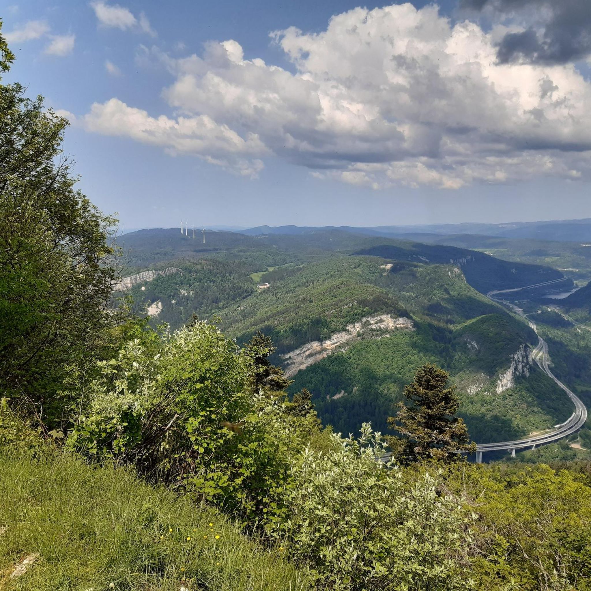
The Chemin des Fècles offers a superb route. As you follow this path which passes from deep woods to steep cliffs, be extremely careful not to go too far to the edge of the void. Above all, respect the safety instructions.
1
0

Great view of the Lac from Belvedere.
2
0

Perfect for an overnight stop for bike packing trips. The location is excellent, right by the lake. There are beautiful landscapes and it is close to the shops and restaurants of the village.
5
0

At 300 meters, overlooking Lake Nantua, you can appreciate the colors of the water and the extent of its 41 hectares.
3
0

reserve where you come across jays, deer and butterflies.
2
0
Frequently Asked Questions
How many running routes are available in the Condamine region?
There are over 120 jogging routes around Condamine listed on komoot, offering a wide variety of options for runners of all levels.
What kind of terrain can I expect on jogging trails around Condamine?
The Condamine region offers diverse terrain, characterized by winding country roads, lush valleys, and scenic routes near waterways like the Condamine River. You'll encounter varying surfaces, from dirt tracks to areas with natural features, providing an engaging experience for runners. The routes also feature breathtaking views of the Great Dividing Range and surrounding mountains.
Are there running routes suitable for beginners in Condamine?
Yes, Condamine offers routes suitable for various ability levels. There are 11 easy running routes available, perfect for beginners or those looking for a more relaxed jog. Additionally, 57 moderate routes provide a good balance for intermediate runners.
Are there any circular running routes in Condamine?
Many of the running paths in Condamine are designed as loops, allowing you to start and finish at the same point. For example, the Panoramic view of the lake – View over Lake Nantua loop from Saint-Martin-du-Frêne is a popular circular route offering extensive views. Another option is the Running loop from Saint-Martin-du-Frêne, a moderate 6.8 km trail.
Can I find jogging routes that feature waterfalls in Condamine?
Absolutely! The Condamine region is home to several stunning waterfalls that can be incorporated into your running adventures. While the Condamine Gorge itself features river crossings, nearby attractions include the impressive Queen Mary Falls, Browns Falls, and Daggs Falls. You can find the Cascade de la Fouge listed as a natural monument in the area.
What are some scenic viewpoints or landmarks I can see while running in Condamine?
Jogging routes in Condamine often provide stunning scenery of the Great Dividing Range. You can also find routes that pass by notable landmarks such as Lake Nantua, offering beautiful lake views. Other points of interest include the Col de Bérentin and the Cerdon Caves.
Are there any challenging running trails for experienced runners in Condamine?
Yes, for experienced runners seeking a challenge, Condamine offers 52 difficult routes. An example is the Descente single – Lake Nantua loop from Maillat, a 22.1 km path known for its challenging descent and significant elevation gain. Another demanding option is the Monts d'Ain loop from Saint-Martin-du-Frêne, which takes you through the hills with over 400 meters of ascent.
What do other runners say about the trails in Condamine?
The running routes in Condamine are highly rated by the komoot community, with an average score of 4.4 stars from over 45 reviews. More than 2,700 runners have used komoot to explore the varied terrain, often praising the scenic views and the diverse landscape of winding country roads and lush valleys.
Are there any shorter running routes for a quick jog?
Yes, if you're looking for a shorter run, there are several options. The Running loop from Maillat is a moderate 6.1 km trail that can be completed in about 40 minutes, perfect for a quick and refreshing jog.
What is the best time of year to go running in Condamine?
While specific seasonal recommendations depend on personal preference, the region's diverse landscapes, including river environments and scenic country roads, offer beautiful backdrops year-round. The 'big skies' and natural beauty make it inspiring for outdoor exercise in various conditions. Always check local weather conditions before heading out.
Are there any routes that offer views of Lake Nantua?
Yes, several routes provide stunning views of Lake Nantua. The Panoramic view of the lake – View over Lake Nantua loop from Saint-Martin-du-Frêne is specifically highlighted for its extensive views over the lake. The Descente single – Lake Nantua loop from Maillat also offers scenic lake vistas.
Most popular attractions around Condamine

Get inspired with the komoot mobile app


Explore more
Browse the best Running Trails & Routes in other regions.
