The best MTB trails around Montgey
4.5
(176)
998
riders
46
rides
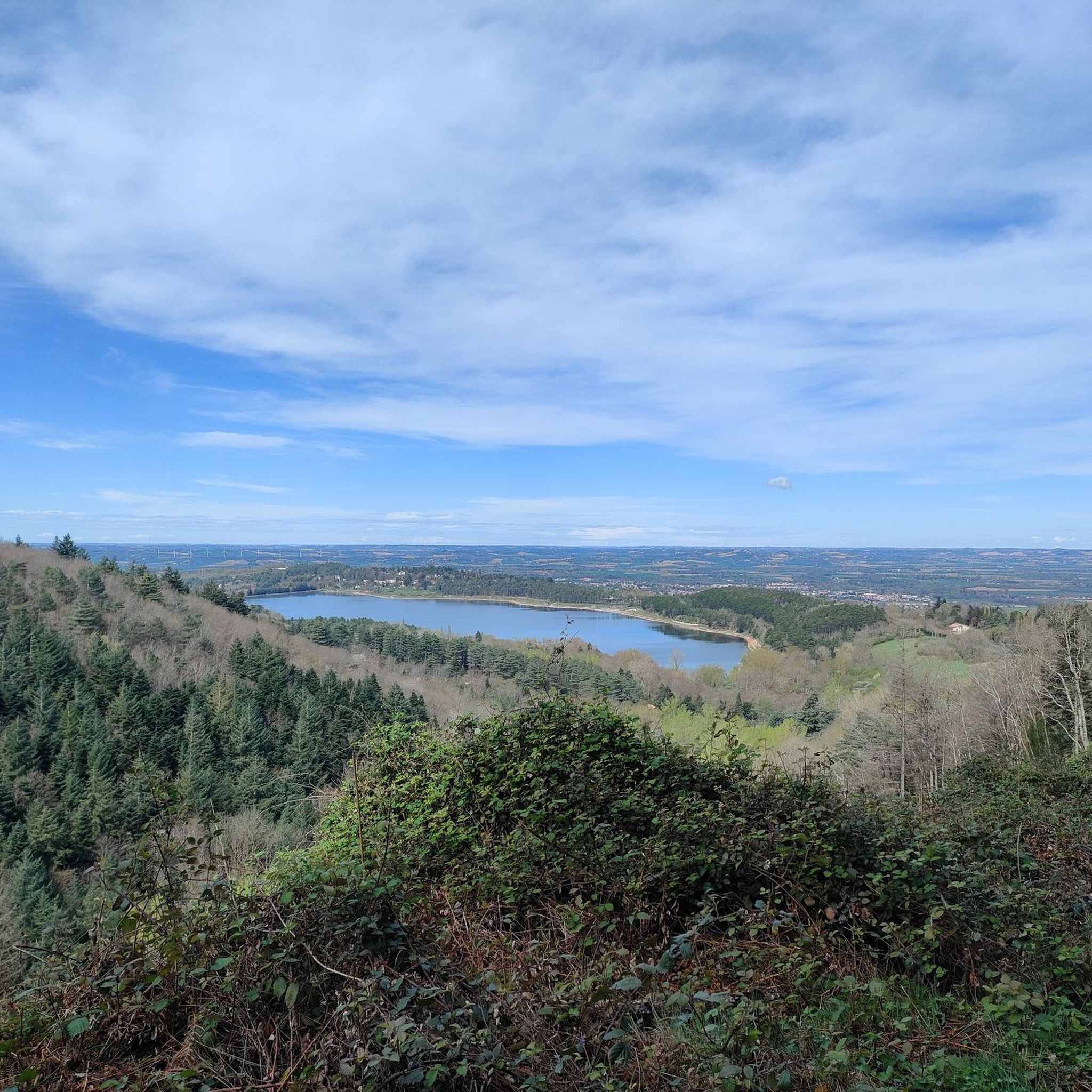
Mountain biking around Montgey is set within a landscape characterized by a limestone escarpment, offering expansive views of the Revel plain and the Black Mountain. The region features rolling hills of Lauragais, cultivated with various crops, and includes modest elevation changes. The area also incorporates features like the Lac de Saint-Ferréol and paths alongside La Rigole de la Plaine. This varied terrain provides options for different mountain biking experiences.
Best mountain bike trails around Montgey
- The most popular mountain bike trail is Laudot Falls – Ruins of Labécède-Lauragais loop from Revel, a 29.3 miles (47.1 km) trail that takes 4 hours 25 minutes to complete. This difficult route features significant elevation gain and diverse landscapes.
- Another top favourite among local mountain bikers is Laudot Lock – Along the gully loop from Roumens, an easy 17.8 miles (28.6 km) path. This route follows a gully, providing a more sheltered experience with minimal elevation changes.
- Local mountain bikers also love the La rigole de la Plaine – Écluse de l'Océan loop from Roumens, a 35.3 miles (56.8 km) trail leading through the area around La Rigole de la Plaine, often completed in about 4 hours.
- Mountain biking around Montgey is defined by limestone escarpments, rolling cultivated hills, and paths alongside canals. The network provides options for easy, moderate, and difficult routes, catering to various ability levels.
- The routes in Montgey are highly rated by the komoot community with an average score of 4.7 stars from over 150 reviews. More than 950 mountain bikers have used komoot to explore Montgey's varied terrain.
Last updated: September 24, 2026
4.8
(14)
47
riders
28.4km
01:36
100m
100m
Easy mountain bike ride. Great for any fitness level. Suitable for all skill levels.
4.0
(5)
23
riders
25.1km
02:19
590m
590m
Hard mountain bike ride. Good fitness required. Advanced riding skills necessary. Some portions of the route may require you to push your bike.

5.0
(3)
32
riders
54.8km
04:59
1,160m
1,160m
Hard mountain bike ride. Very good fitness required. Advanced riding skills necessary. Some portions of the route may require you to push your bike.
22
riders
24.4km
02:04
510m
510m
Hard mountain bike ride. Good fitness required. Advanced riding skills necessary. Some portions of the route may require you to push your bike.
3.8
(4)
11
riders
Moderate mountain bike ride. Good fitness required. Suitable for all skill levels.
Get access to more routes and recommendations from other explorers.
Already have an account?
Our route recommendations are based on thousands of hikes, rides, and runs completed by other people on komoot.
Start today with a free account
Your next adventure awaits.


Tips from the Community

It is sometimes called the Naurouze lock because it is the closest lock to the Naurouze threshold. The Ocean lock marks the beginning of the ascending section of the canal when going from west to east.
0
0
Le Seuil de Naurouze is a strategic location in the operation and water supply of the Canal du Midi. The highest point on the canal's route, it is the birthplace as a watershed. Framed by the Ocean lock and the Mediterranean lock, it is from this site that the waters carried by the Rigole de la Plaine are distributed from one slope to the other.
0
0
Le Seuil de Naurouze is a strategic location in the operation and water supply of the Canal du Midi. The highest point on the canal's route, it is the birthplace as a watershed. Framed by the Ocean lock and the Mediterranean lock, it is from this site that the waters carried by the Rigole de la Plaine are distributed from one slope to the other.
0
0
The Seuil de Naurouze is a strategic location in the operation and water supply of the Canal du Midi. The highest point on the canal's route, it is the birthplace as a watershed. Flanked by the Ocean lock and the Mediterranean lock, it is from this site that the waters carried by the Rigole de la Plaine are distributed from one slope to the other.
0
0
The Mediterranean lock is a historic structure on the Canal du Midi built around 1670. Located in Mas-Saintes-Puelles (Aude), it marks the beginning of the downward slope towards the Mediterranean Sea. It was formerly called the Doctor's lock or Medici lock.
0
0

Located in the hamlet of Thoumazés in Saint-Félix-Lauragais, the Laudot lock is a strategic structure in the hydraulic supply network of the Canal du Midi.
1
0


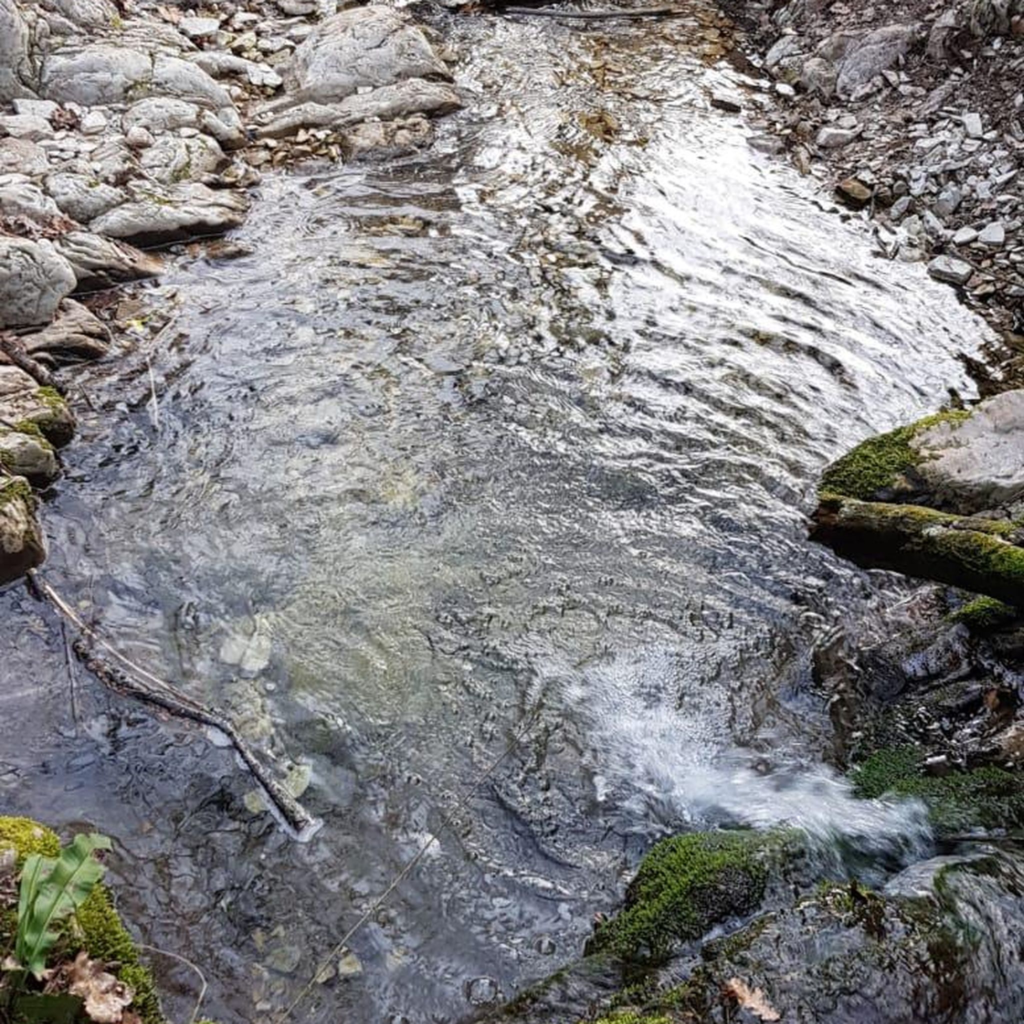
This village was formerly known for its copperware. A small stream flows through the middle of two of its streets. Upstream are the remains of old mills.
0
0
Frequently Asked Questions
How many mountain bike trails are available around Montgey?
There are over 40 mountain bike trails around Montgey, offering a diverse range of experiences. These routes are highly rated by the komoot community, with an average score of 4.7 stars.
What kind of terrain can I expect on mountain bike trails around Montgey?
The terrain around Montgey is characterized by rolling hills of the Lauragais region, cultivated fields, and paths alongside canals. You'll encounter limestone escarpments, offering panoramic views, and some routes feature sections along gullies or near water bodies like the Lac de Saint-Ferréol. The area provides a mix of easy, moderate, and difficult routes.
Are there mountain bike trails suitable for beginners in Montgey?
Yes, there are several easy mountain bike trails. For instance, the Laudot Lock – Along the gully loop from Roumens is an easy 17.8-mile (28.6 km) path that follows a gully, providing a more sheltered and gentle experience.
Are there challenging mountain bike trails for experienced riders?
Absolutely. For experienced riders seeking a challenge, the Laudot Falls – Ruins of Labécède-Lauragais loop from Revel is a difficult 47.1 km route with significant elevation gain. Starting from Revel, you can also find trails in the nearby Black Mountains that feature technical descents with switchbacks and roots.
What scenic views or landmarks can I expect on mountain bike trails near Montgey?
Many trails offer stunning panoramic views from the limestone escarpment, overlooking the Revel plain and the imposing Montagne Noire. On clear days, you might even see the distant Pyrenees. Notable landmarks and natural features include the Lac de Saint-Ferréol, the La Rigole de la Plaine, and the Cathar Memorial. The village of Montgey itself, with its church and castle, adds historical charm to the landscape.
Are there family-friendly mountain bike trails in the Montgey area?
While specific 'family-friendly' designations can vary, the easier routes, such as the Laudot Lock – Along the gully loop from Roumens, are generally suitable for families with some cycling experience due to their lower elevation gain and sheltered paths. The broader Lauragais region also offers well-established cycling routes, including shaded sections, which can be pleasant for family outings.
Can I bring my dog on mountain bike trails around Montgey?
Many trails in the Montgey area are suitable for dogs, especially those that follow less technical paths or forest roads. However, it's always recommended to keep your dog under control, especially when passing through agricultural areas or near livestock. Be mindful of local regulations and ensure your dog is well-behaved around other trail users.
What is the best time of year to go mountain biking in Montgey?
Spring and autumn generally offer the most pleasant conditions for mountain biking in Montgey, with milder temperatures and beautiful landscapes. Summer can be warm, so early mornings or late afternoons are preferable. Winters are typically mild but can bring occasional rain, making some trails muddy.
Where can I find parking for mountain bike trails in Montgey?
Parking is generally available in and around the starting points of many routes, particularly in nearby towns like Revel or Roumens, which serve as common trailheads. Specific parking information can often be found in the details of individual komoot tours.
Is Montgey accessible by public transport for mountain bikers?
While Montgey itself is a small village, the nearby town of Revel, approximately 8 kilometers away, is better connected. It's advisable to check local bus schedules or regional transport options to Revel, and then consider cycling or a short taxi ride to Montgey or specific trailheads.
Are there cafes or places to stop for refreshments near the mountain bike trails?
The larger towns and villages in the vicinity, such as Revel or Sorèze, offer a good selection of cafes, restaurants, and shops where you can refuel. Some routes might pass through smaller hamlets with limited options, so it's always a good idea to carry sufficient water and snacks, especially on longer rides.
What do other mountain bikers say about the trails around Montgey?
The mountain bike trails around Montgey are highly regarded by the komoot community, boasting an average rating of 4.7 stars from over 150 reviews. Riders frequently praise the diverse terrain, the stunning panoramic views, and the variety of routes catering to different skill levels, from easy gully paths to more challenging climbs with rewarding vistas.
Most popular attractions around Montgey

Get inspired with the komoot mobile app


Explore more
Browse the best MTB trails in other regions.
