
The best running trails around Charmois-Devant-Bruyères
4.1
(57)
2,294
runners
161
runs
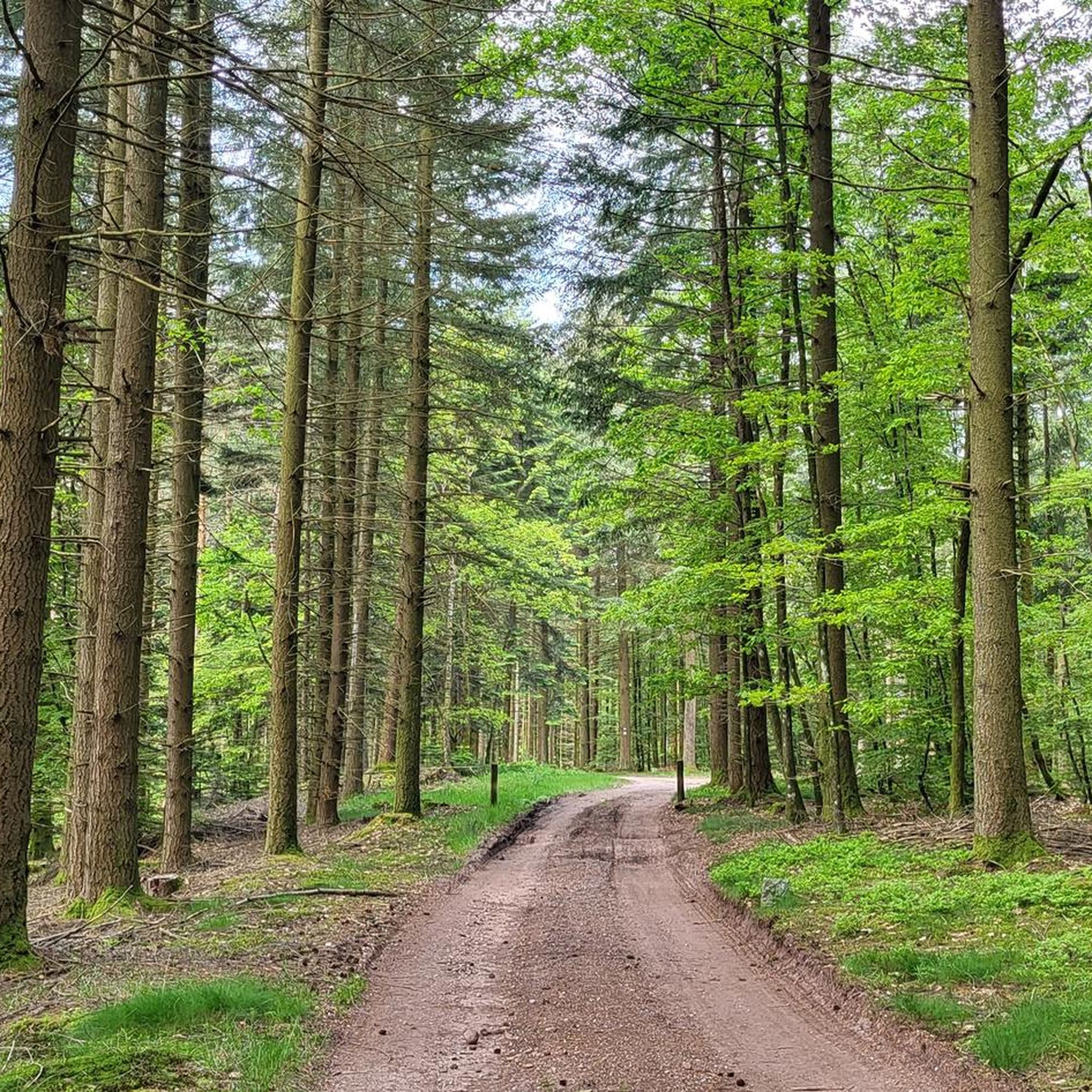
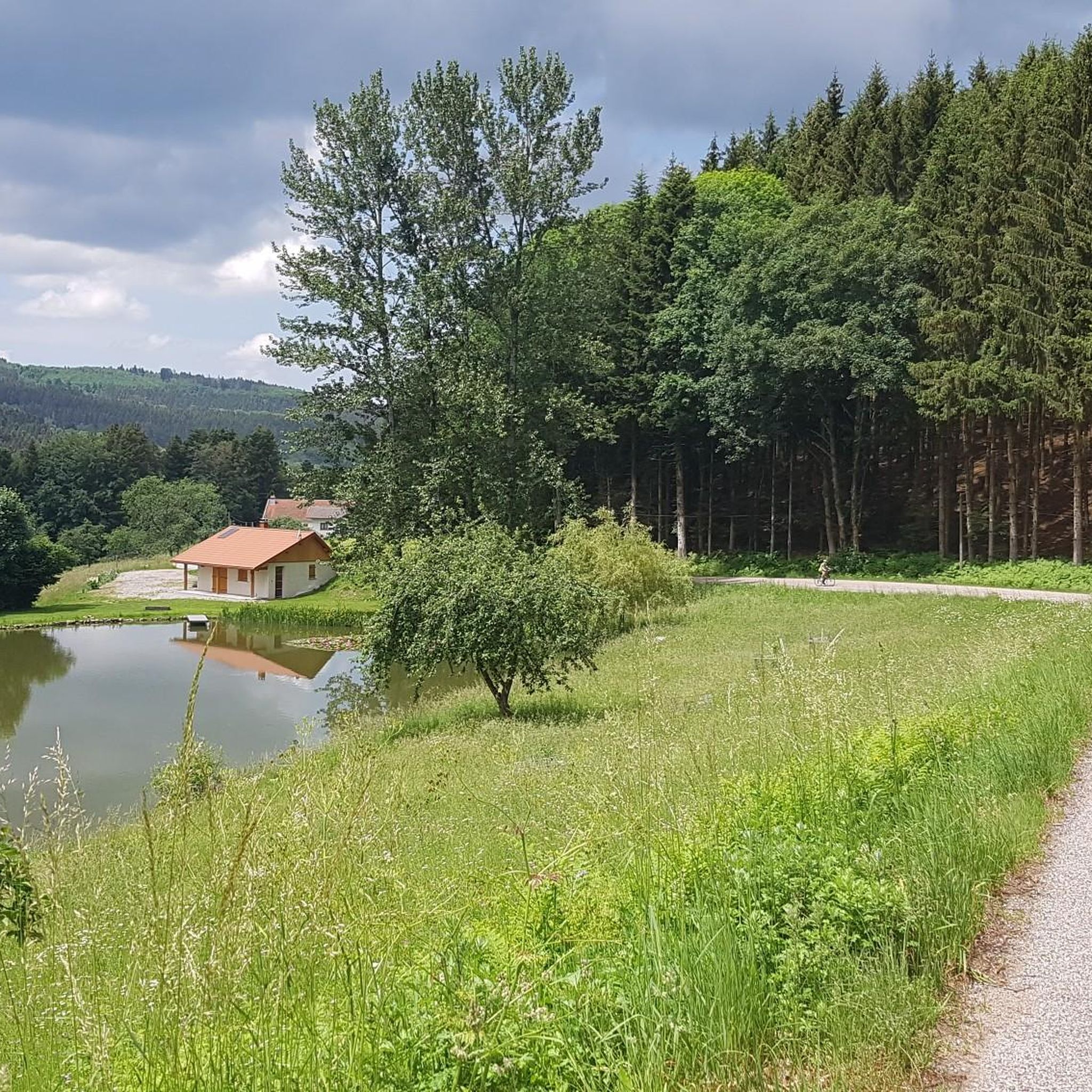
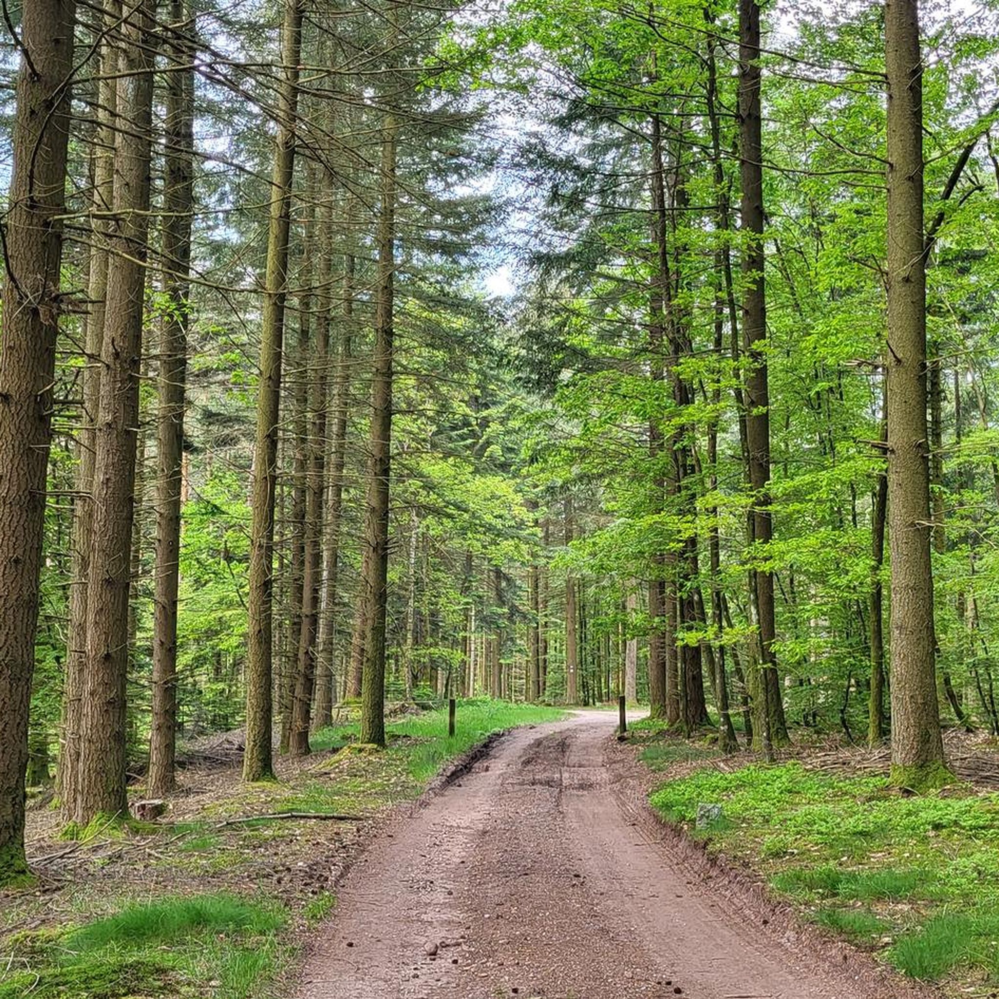
Jogging around Charmois-Devant-Bruyères offers access to a diverse natural landscape within the Vosges department. The region is characterized by its extensive forests, providing a green setting for outdoor activities. Terrain varies with altitudes ranging from 385m to 503m, contributing to a mix of gradients suitable for running. The Vologne Valley and features like the Grande Cascade de Tendon add to the area's natural appeal.
Best jogging routes around Charmois-Devant-Bruyères
- The most popular jogging route is Roches Charlot loop from Aydoilles…
Last updated: August 1, 2026
4
runners
6.46km
00:43
70m
70m
Moderate run. Good fitness required. Mostly paved surfaces. Suitable for all skill levels.
9
runners
6.22km
00:40
60m
60m
Moderate run. Good fitness required. Mostly paved surfaces. Suitable for all skill levels.

Sign up for free
4
runners
7.23km
00:47
80m
80m
Moderate run. Good fitness required. Mostly paved surfaces. Suitable for all skill levels.
3
runners
6.10km
00:44
150m
150m
Moderate run. Good fitness required. Mostly paved surfaces. Suitable for all skill levels.
3
runners
6.98km
00:51
70m
70m
Moderate run. Good fitness required. Mostly paved surfaces. Suitable for all skill levels.
Get access to more routes and recommendations from other explorers.
Sign up for free
Already have an account?
Our route recommendations are based on thousands of hikes, rides, and runs completed by other people on komoot.
Start today with a free account
Your next adventure awaits.
Login or Signup


Frequently Asked Questions
How many running routes are available around Charmois-Devant-Bruyères?
There are over 130 running routes available around Charmois-Devant-Bruyères, offering a wide variety of options for different skill levels and preferences. The komoot community has explored more than 2000 of these routes.
What kind of terrain can I expect on the running trails in Charmois-Devant-Bruyères?
The terrain around Charmois-Devant-Bruyères is quite varied, ranging in altitude from 385m to 503m. You'll find extensive forests, varied forest paths, and routes that follow the Vologne Valley, offering a mix of riverside and village scenery. This provides a good mix of gradients and surfaces for runners.
Are there any easy running routes suitable for beginners in the area?
Yes, Charmois-Devant-Bruyères offers 10 easy running routes perfect for beginners or those looking for a more relaxed run. Many of these trails are within the local forests, providing a pleasant and green setting.
Can I find long-distance running trails around Charmois-Devant-Bruyères?
Absolutely. For those seeking a challenge, there are 28 difficult routes, many of which are long-distance. An example is the Roches Charlot loop from Aydoilles, which is 22.1 km (13.7 miles) and features varied forest paths and significant elevation changes.
What natural features or landmarks can I see while running in Charmois-Devant-Bruyères?
The region is rich in natural beauty. You can encounter features like the Great Tendon Waterfall and the Little Waterfall of Tendon. Some routes also pass by interesting geological formations such as the Sandstone boulders at Les Archettes. The Vologne Valley itself offers picturesque village scenery.
Are there any circular running routes available?
Yes, many of the running routes around Charmois-Devant-Bruyères are circular, making them convenient for starting and ending at the same point. For instance, the La Vologne loop from Cheniménil is a moderate 7.9 km (4.9 miles) circular path that follows the Vologne Valley.
What do other runners think about the trails in Charmois-Devant-Bruyères?
The running routes in Charmois-Devant-Bruyères are highly rated by the komoot community, with an average score of 4.4 stars from around 50 reviews. Runners often praise the diverse natural landscape, the extensive forests, and the varied terrain suitable for different ability levels.
Are the running trails in Charmois-Devant-Bruyères suitable for families?
While specific family-friendly running routes are not detailed, the presence of numerous marked trails, many of which pass through forests and are suitable for hiking, suggests that many of the easier and moderate routes could be enjoyed by families. The natural setting provides a great environment for outdoor activity.
Is there parking available at the trailheads?
While specific parking locations for each trailhead are not listed, Charmois-Devant-Bruyères is a small village with direct access to expansive forests. It is generally well-equipped for outdoor enthusiasts, and detailed maps available in the village center often indicate access points and facilities, which typically include parking.
Can I bring my dog on the running trails?
The Vosges region, where Charmois-Devant-Bruyères is located, is generally dog-friendly, with many trails welcoming dogs. However, it's always recommended to keep your dog on a leash, especially in forested areas to protect wildlife and ensure the safety of other trail users.
What is a good route for experiencing both forest and water features?
The Beautiful flower meadow – Little Waterfall of Tendon loop from Cheniménil is an excellent choice. This 29.1 km (18.1 miles) trail leads through varied forest and open areas, and as its name suggests, it includes the scenic Little Waterfall of Tendon.
Are there any routes that offer good viewpoints?
While specific viewpoints on running routes are not detailed, the region's varied altitude (385m to 503m) and the presence of highlights like the View from La Brostille (862 m) in the broader area suggest that many trails will offer scenic vistas, especially those with higher elevation gains.
Most popular routes around Charmois-Devant-Bruyères
Most popular attractions around Charmois-Devant-Bruyères

Get inspired with the komoot mobile app


Explore more
Browse the best Running Trails & Routes in other regions.
