The best running trails around Saint-Didier
4.4
(85)
3,224
runners
23
runs
Jogging routes around Saint-Didier traverse a landscape characterized by rolling hills and varied countryside. The region offers a mix of open fields, woodlands, and quiet roads, providing diverse terrain for runners. Elevation changes are generally moderate, making it suitable for different fitness levels. These running routes showcase the natural beauty of the area.
Best jogging routes around Saint-Didier
- The most popular jogging route is Manoir de la Roche loop from Saint-Didier, a 12.5 miles (20.1 km) trail that takes…
Last updated: October 8, 2026
27
runners
18.7km
02:00
150m
150m
Hard run. Very good fitness required. Mostly paved surfaces. Suitable for all skill levels.
17
runners
9.16km
00:58
90m
90m
Moderate run. Good fitness required. Mostly paved surfaces. Suitable for all skill levels.

4.0
(1)
19
runners
9.11km
00:59
80m
80m
Moderate run. Good fitness required. Mostly paved surfaces. Suitable for all skill levels.
12
runners
20.8km
02:20
210m
210m
Hard run. Very good fitness required. Mostly paved surfaces. Suitable for all skill levels.
5.0
(1)
10
runners
20.1km
02:08
170m
170m
Hard run. Very good fitness required. Mostly paved surfaces. Suitable for all skill levels.
Get access to more routes and recommendations from other explorers.
Already have an account?
Our route recommendations are based on thousands of hikes, rides, and runs completed by other people on komoot.
Start today with a free account
Your next adventure awaits.

Tips from the Community

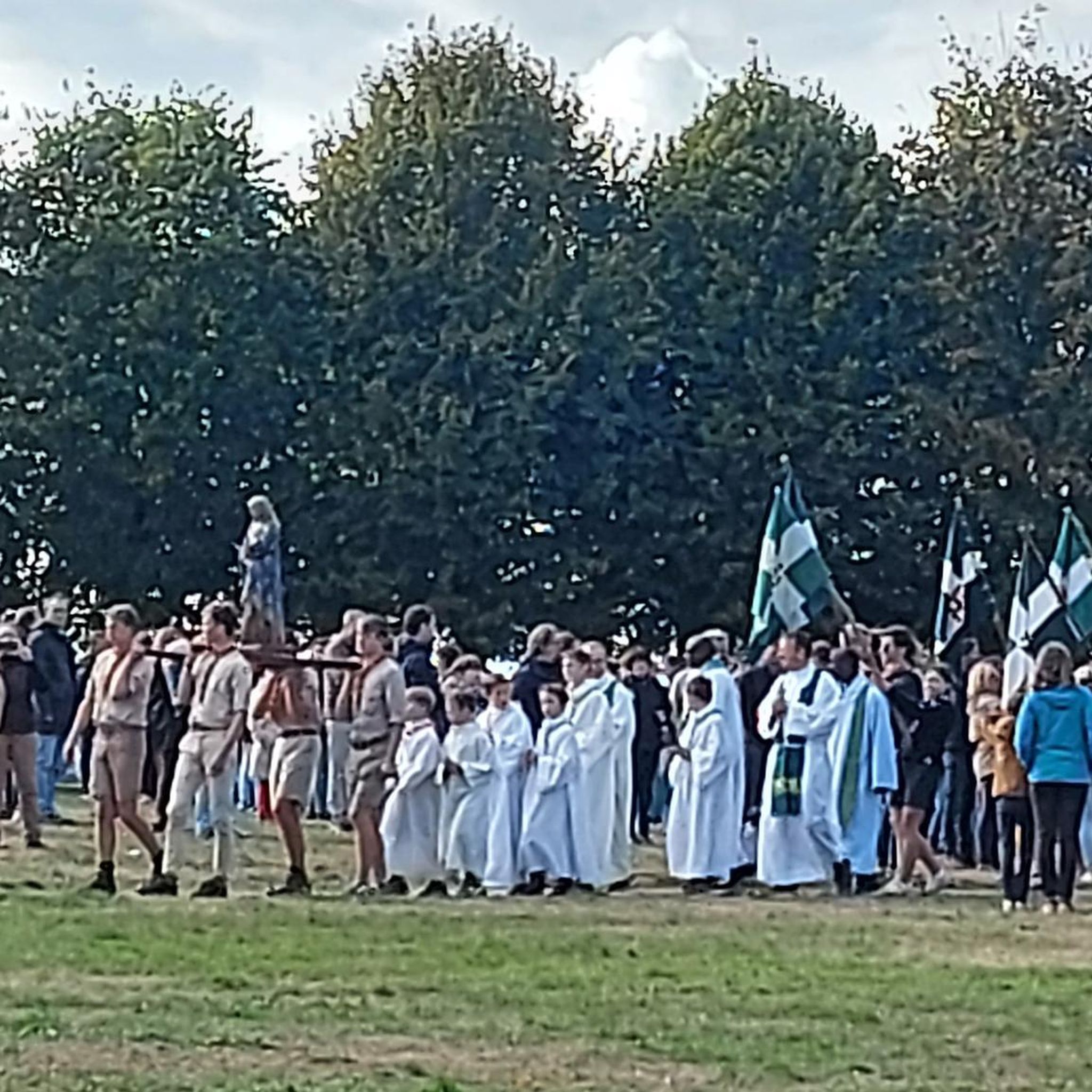
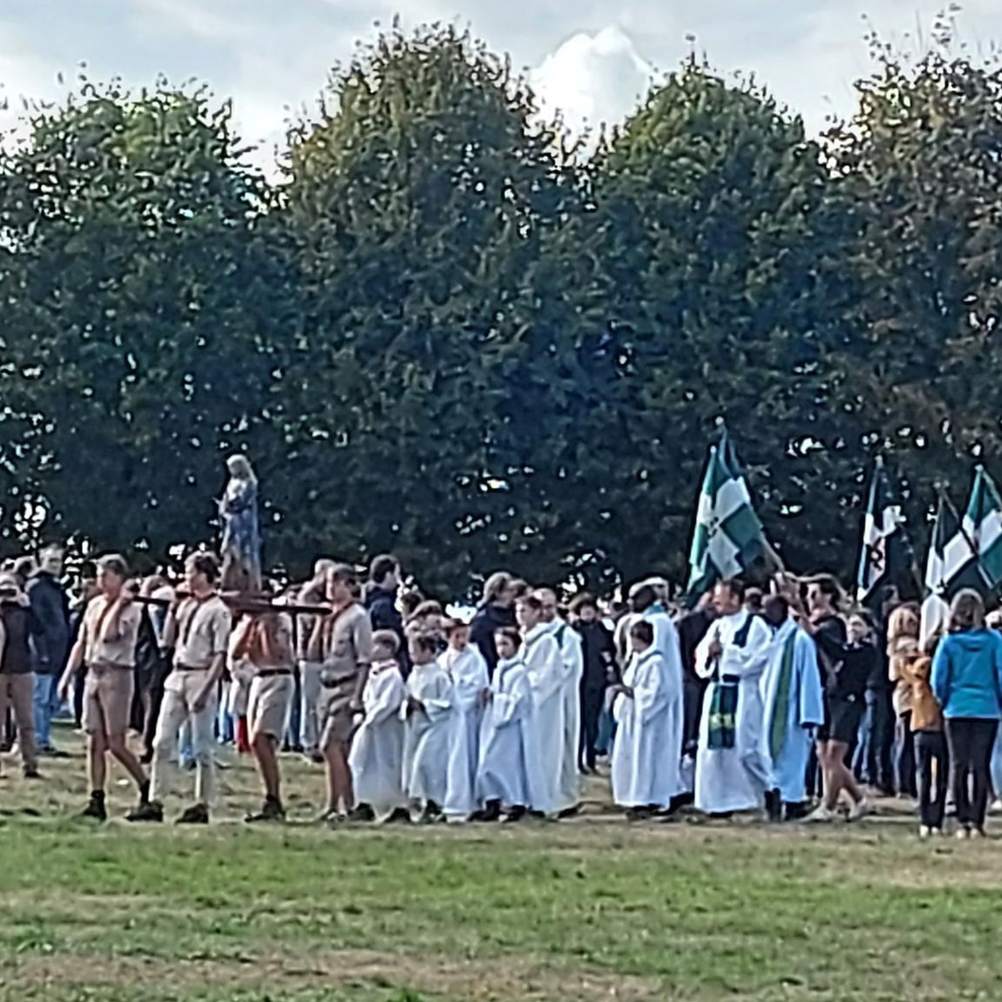
The bell tower is visible from afar and has long dominated the town and its surroundings. The Saint-Pierre church has retained its impact on the local landscape for over a century. It was indeed in 1888 that the Fabrique Council decided to entrust Arthur Régnault, the diocese's architect, with the project for a new construction. His plan was accepted and work began in October 1889, before the blessing of the first stone on March 13, 1890. As an anecdote, the stones are extracted from the quarry of La Bouëxière. Quickly, the inhabitants discovered its citadel-like appearance, Arthur Régnault having wanted to honor the city of Châteaubourg which had not had a castle for a long time! The structural work was completed on March 28, 1893, but due to lack of funds, the bells would wait until 1894. The work on the woodwork and the construction of the high altar took place in 1911, the church being due to host the important Eucharistic congress of 1913. Maintenance work continued over the years, the church having become the property of the municipality since 1905. During the bombings of the summer of 1944, the church was spared. The inhabitants would not forget it: on May 9, 1945, the day after the armistice, the men carried Notre Dame de Boulogne in procession and paraded barefoot through the streets. The centenary was celebrated in 1992 with the decision to install the current organ. The church of Châteaubourg has thus traversed local history from the 15th century – the date of construction of the previous, much smaller church – to that designed by Arthur Régnault.
0
0

Very beautiful place, I recommend the pontoons to relax there
0
0

The Corbière pond, nestled in the heart of the eponymous forest, offers a peaceful and enchanting setting. Surrounded by century-old trees and shaded paths, this pond is an ideal place for a walk in the heart of nature. On its banks stands an old mill.
0
0

Nice little difficult walk but the area is very nice. First ride there and we met a deer or a doe who almost knocked us over while crossing the path!
1
1
Frequently Asked Questions
How many running routes are available around Saint-Didier?
There are over 20 running routes available for jogging around Saint-Didier, catering to various fitness levels. You'll find a good mix of easy, moderate, and challenging paths to explore.
What kind of terrain can I expect on the jogging trails in Saint-Didier?
The jogging trails around Saint-Didier offer diverse terrain. Depending on the specific location, you might encounter rolling hills, open fields, woodlands, and quiet roads. Some routes, particularly in the Provence-Alpes-Côte d'Azur region, feature mostly paved surfaces, while others, like those near Mont Ventoux or Mont Thou, can include significant elevation changes.
Are there any easy or beginner-friendly jogging routes in Saint-Didier?
Yes, Saint-Didier offers several easier jogging options. For instance, the Château du Val – Château de la Fontenelle loop from Saint-Didier is a moderate 9.3 km path with gentle elevation changes, suitable for those looking for a less strenuous run. In Pré-Saint-Didier, the trail to the Orrido Gorge is also considered easy and family-friendly.
What are some challenging running routes for experienced joggers in Saint-Didier?
For experienced runners seeking a challenge, the Saint-Didier region has several demanding routes. The Corbière Pond – Arrival on the water loop from Saint-Didier is a difficult 28.2 km trail with notable elevation. In Provence, the 'Saint-Didier – Vue sur le château du Beaucet loop' is a difficult 22.8 km route with substantial elevation gain, requiring excellent physical condition. Near Lyon, routes around Mont Thou also offer challenging ascents.
Are there any scenic running routes that offer views or natural landmarks?
Absolutely. Many running routes in Saint-Didier provide beautiful scenery. In Provence, trails often pass through picturesque rolling hills, vineyards, and lavender fields. In Pré-Saint-Didier, the Orrido Gorge trail offers a panoramic walkway with unique views of Mont Blanc and the Orrido Waterfall. Near Lyon, routes around Mont Thou provide expansive views over the Saône and Lyon.
Can I find circular jogging routes in the Saint-Didier area?
Yes, many of the running routes around Saint-Didier are designed as loops, offering convenient circular paths. Examples include the Manoir de la Roche loop from Saint-Didier and the Miniatures Henri Chesnais loop from Saint-Didier, both providing varied rural landscapes.
What kind of attractions or points of interest can I see along the jogging routes?
Depending on your chosen route, you can discover various attractions. Some paths offer views of local châteaux, such as those near the Vitré Castle or Châteaugiron Castle. You might also pass by natural features like the Étang de la Corbière or the Cantache Pond. In Pré-Saint-Didier, the Orrido Gorge and its hot springs are notable sights.
Are there any family-friendly jogging options in Saint-Didier?
Yes, the region offers options suitable for families. The trail leading to the Orrido Gorge in Pré-Saint-Didier is specifically mentioned as easy and family-friendly. Generally, routes with moderate distances and gentle elevation, often on paved surfaces, are good choices for families.
What do other runners say about jogging in Saint-Didier?
The running routes in Saint-Didier are highly rated by the komoot community, with an average score of 4.5 stars from over 110 reviews. Runners often praise the diverse terrain, the mix of open fields and woodlands, and the scenic beauty of the area, making it an enjoyable experience for various fitness levels.
Are there any routes that pass by water features like rivers or lakes?
Yes, you can find routes that incorporate water features. The Corbière Pond – Arrival on the water loop from Saint-Didier specifically highlights a pond. In Pré-Saint-Didier, the Dora Baltea River and Lake de la Youla are prominent, and the Orrido Gorge features a waterfall. In Provence, the source of the Sorgue River is a significant natural feature.
What is the best season for running in the Saint-Didier region?
The best season for running in Saint-Didier largely depends on the specific location. In Provence-Alpes-Côte d'Azur, spring and autumn offer pleasant temperatures for enjoying the vineyards and lavender fields. In Pré-Saint-Didier, the Alpine environment is stunning in summer and early autumn, while winter transforms it into a snowy paradise, suitable for snowshoeing or cross-country skiing, but requiring different gear for running.
Are there any specific considerations for parking or public transport access for these running routes?
While specific parking details for each route are best checked on individual komoot tour pages, many routes in rural areas typically have parking available near the starting points. For public transport, options vary significantly between the different Saint-Didier locations. In more populated areas like Saint-Didier-au-Mont-d'Or near Lyon, public transport might be more accessible than in remote Provençal or Alpine settings. It's always recommended to check local transport schedules for your chosen starting point.
Most popular routes around Saint-Didier
Most popular attractions around Saint-Didier

Get inspired with the komoot mobile app


Explore more
Browse the best Running Trails & Routes in other regions.
