The best walks and hikes around Surjoux
4.5
(509)
3,791
hikers
114
hikes
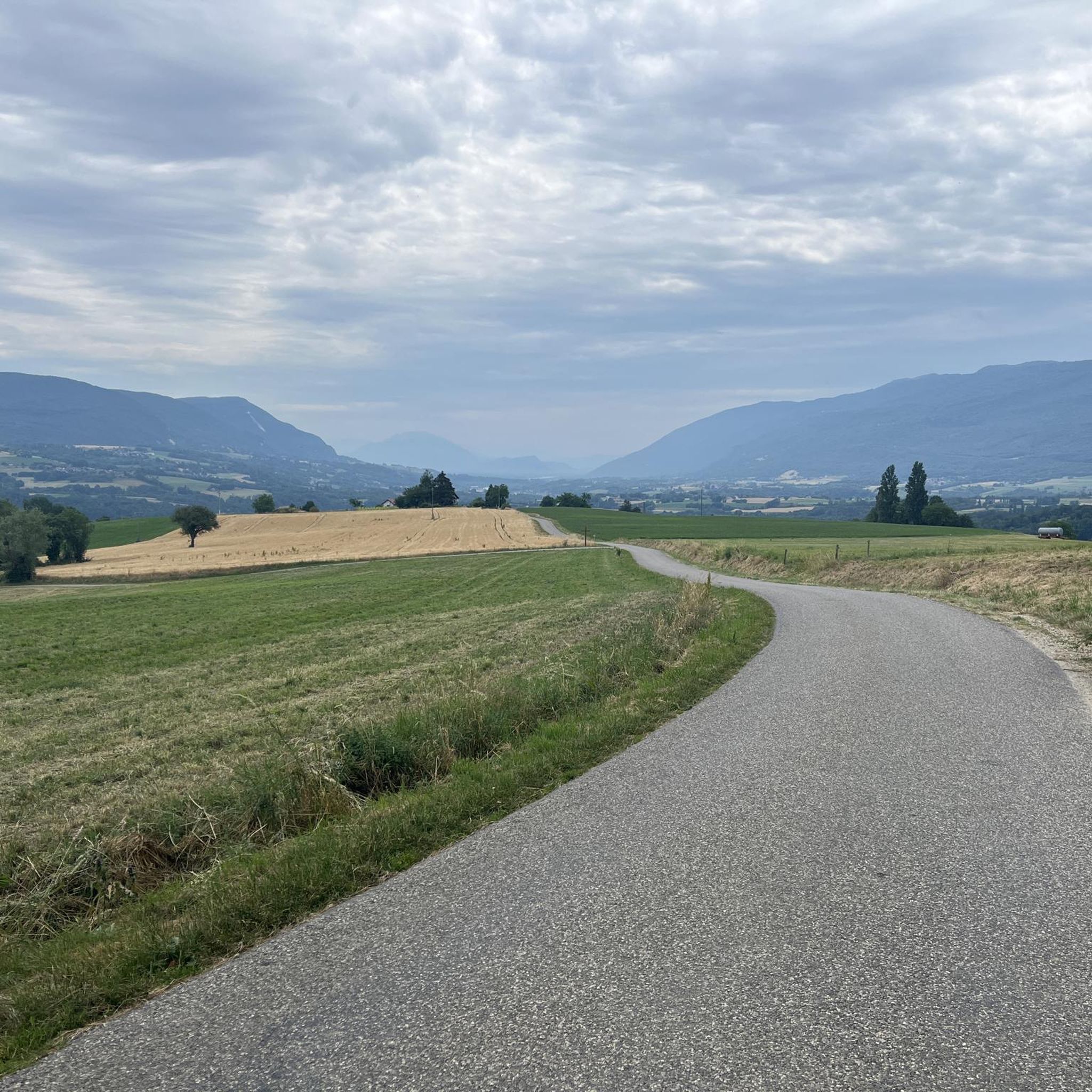
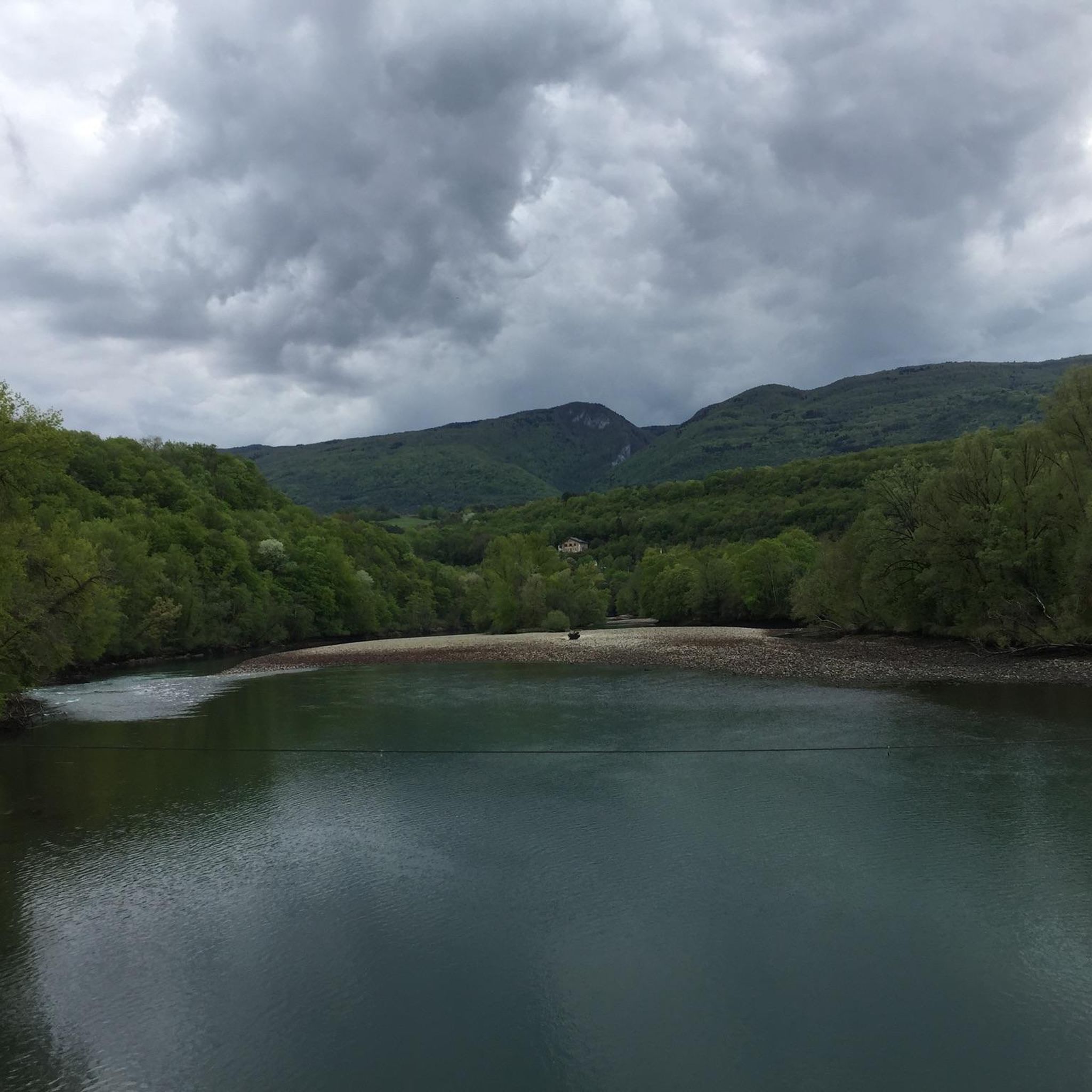
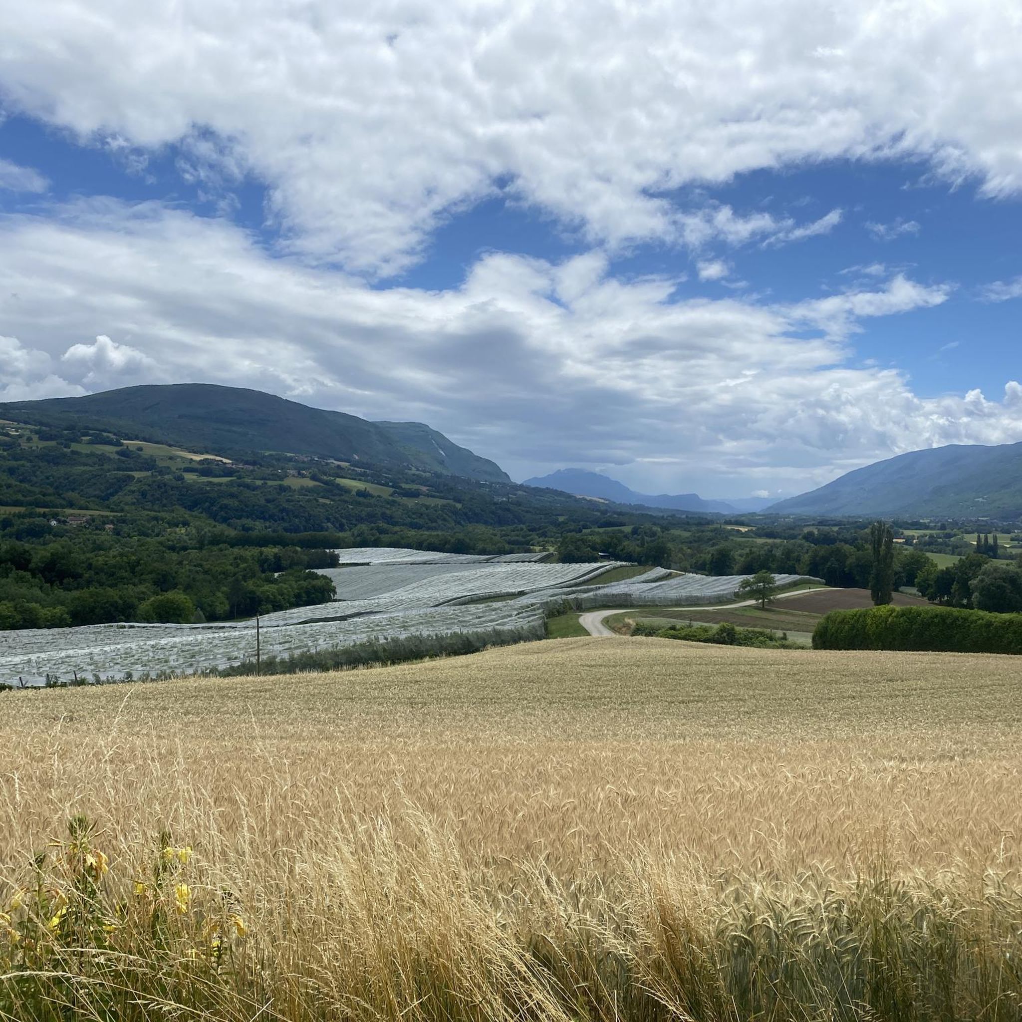
Hiking around Surjoux offers diverse landscapes, from the wild sections of the Rhône River to the foothills of the Jura Massif. The region features unique natural formations like the Pain de Sucre waterfall, a 30-meter cascade forming a large limestone stalagmite. Trails traverse varied terrain, including dense forests, agricultural areas, and paths leading to panoramic viewpoints. This area provides a blend of riverside walks, moderate ascents, and historical routes.
Best hiking trails around Surjoux
- The most popular hiking route is…
Last updated: November 8, 2026
4.8
(5)
42
hikers
8.99km
02:40
260m
260m
Moderate hike. Good fitness required. Easily walkable paths.
4.0
(2)
17
hikers
11.5km
03:53
540m
540m
Moderate hike. Good fitness required. Mostly walkable paths. Sure-footedness required.

4.3
(3)
11
hikers
Moderate hike. Good fitness required. Mostly walkable paths. Sure-footedness required.
5.0
(1)
16
hikers
11.3km
03:00
120m
120m
Moderate hike. Good fitness required. Easily walkable paths.
4.5
(2)
10
hikers
7.23km
02:12
250m
250m
Moderate hike. Good fitness required. Easily walkable paths.
Get access to more routes and recommendations from other explorers.
Already have an account?
Our route recommendations are based on thousands of hikes, rides, and runs completed by other people on komoot.
Start today with a free account
Your next adventure awaits.

Tips from the Community

amazing, be careful it's slippery, get off the mountain bike for this visit
0
0


Carved piece of road in the rocks. Spectacular and easily accessible.
0
0

Regular climb, on one side or the other. Be careful, however, if you arrive at the top in "limit": there are two "passes" which follow one another in two km, this can give a little blow to morale when the legs respond less well 😉
2
0

Hidden, this waterfall has a romantic charm. You can stop there for a moment and relax to the sound of the falling water.
3
0

Magnificent pass at 1000m altitude, regular climb between 5 and 6⁹%
3
0
Frequently Asked Questions
How many hiking trails are available around Surjoux, and what are their difficulty levels?
There are over 120 hiking trails around Surjoux. The network caters to various skill levels, with 42 easy routes, 69 moderate trails, and 10 more challenging options for experienced hikers.
Are there any notable waterfalls to discover on hikes near Surjoux?
Yes, the region is home to the unique Pain de Sucre waterfall, a 30-meter cascade that has formed a giant limestone stalagmite. You can experience this natural wonder on the Pain de Sucre Waterfall loop from Challonges. Another beautiful waterfall, La Cascade d'Eilloux, can be found on the Ruïne – La Cascade d'Eilloux loop from Sylan.
Which hikes offer the best panoramic views of the region?
For breathtaking panoramic views, consider trails that ascend into the Jura Massif, particularly those around the Grand Colombier. These routes often provide magnificent vistas of the Alps, Mont Blanc, Lac du Bourget, and the Rhône Valley. While not a specific route in the guide, the area around the Grand Colombier is renowned for its expansive views.
Are there family-friendly hiking options suitable for children around Surjoux?
Yes, Surjoux offers several easy hiking options perfect for families. These trails often traverse agricultural landscapes or follow gentle riverside paths along the Rhône. The Pain de Sucre Waterfall loop from Challonges is a moderate trail that is often enjoyed by families due to its unique natural feature and accessible path.
Can I find circular hiking routes in the Surjoux area?
Many of the hiking routes around Surjoux are designed as circular loops, allowing you to start and end at the same point. Examples include the L'arche de l'Écorche-Boeuf – Richemont Pass loop from Chanay and the Étang Roz loop from Franclens, providing convenient exploration of the diverse landscapes.
What do other hikers enjoy most about hiking in Surjoux?
The hiking trails in Surjoux are highly rated by the komoot community, with an average score of 4.4 stars from over 390 reviews. Hikers frequently praise the diverse landscapes, from the wild Rhône riverbanks to the unique geological formations like the Pain de Sucre, and the well-maintained paths through forests and agricultural areas.
Are there any historical trails or points of interest to explore while hiking?
Yes, the region offers trails with historical significance. The 'Sentier des charbonniers' (Charcoal Burners' Path) near Chanay, for instance, winds through the Michaille forests and provides insights into the area's past charcoal production. Another route, 'De Clermont à la ferme du Comte,' follows part of the Camino de Santiago, offering historical context alongside scenic views.
What is the best time of year to go hiking in Surjoux?
Surjoux is suitable for hiking in most seasons. The unique Pain de Sucre waterfall is refreshing year-round. While the Plateau de Retord is known for winter activities like snowshoeing, its open expanses are also appealing for hiking in warmer months. Spring and autumn generally offer pleasant temperatures and vibrant scenery, making them ideal for exploring the diverse trails.
Is parking available at the trailheads for hikes in Surjoux?
Yes, most popular trailheads and starting points for hikes around Surjoux, such as those near Challonges or Chanay, typically offer designated parking areas for hikers. It's always a good idea to check specific route details for precise parking information.
Are dogs allowed on hiking trails around Surjoux?
Generally, dogs are welcome on many hiking trails in the Surjoux area, especially on a leash. However, specific regulations may apply in certain protected natural areas or nature reserves, such as parts of the Jura Massif. Always ensure your dog is under control and respect local signage regarding pet access.
What other attractions can I visit near the hiking trails in Surjoux?
Beyond the trails, you can explore several interesting attractions. The Old bridge of Seyssel and the town of Seyssel itself are worth a visit. Nature lovers might enjoy the Pertes de la Valserine waterfall or the scenic Plateau de Retord. For a different kind of natural beauty, the Fier Sports and Nature Area also offers recreational opportunities.
Are there any challenging hikes for experienced hikers in the Surjoux region?
Yes, for experienced hikers seeking a challenge, there are 10 difficult routes available. These trails often involve more significant elevation gains and cover longer distances, particularly in the foothills of the Jura Massif. An example of a moderate yet demanding route is the Col de Richemond (1060 m) – L'arche de l'Écorche-Boeuf loop from Col de Richemond, which offers a good workout and rewarding views.
Most popular attractions around Surjoux

Get inspired with the komoot mobile app


Explore more
Browse the best Hikes in other regions.
