The best running trails around Lhôpital
4.2
(18)
1,330
runners
97
runs
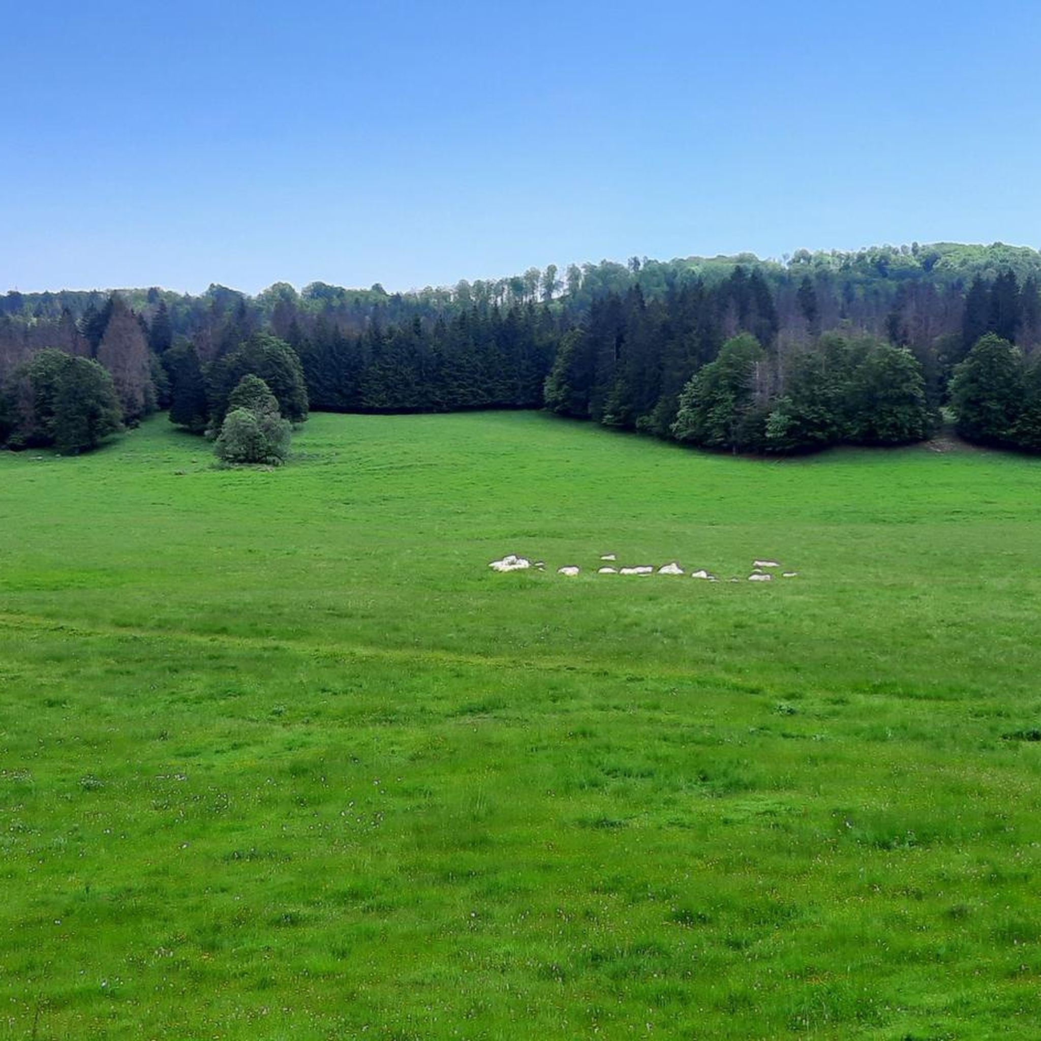
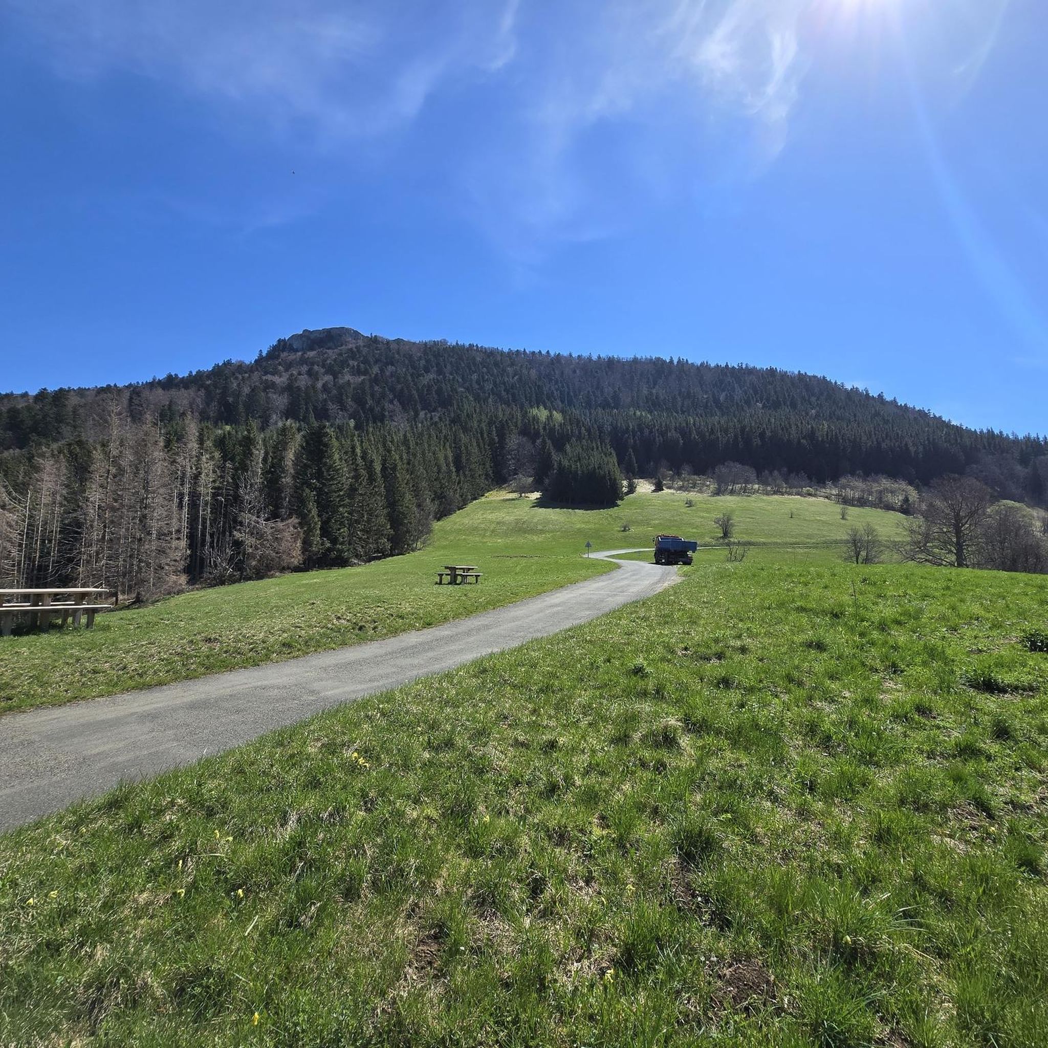
Jogging around Lhôpital offers a variety of routes through diverse terrain, characterized by rolling hills and elevated crests. The region features a mix of open landscapes and areas around local stations, providing varied scenery for runners. Elevation changes are common, with routes traversing both gentle slopes and more challenging ascents.
Best jogging routes around Lhôpital
- The most popular jogging route is Beauregard Crest – Plans d'Hotonnes Station loop from Hotonnes, a 11.7 miles (18.8 km) trail that takes about…
Last updated: November 3, 2026
5.0
(1)
41
runners
18.4km
02:14
400m
400m
Hard run. Very good fitness required. Mostly paved surfaces.
10
runners
7.50km
00:55
210m
210m
Moderate run. Good fitness required. Mostly paved surfaces.

8
runners
4.40km
00:31
90m
90m
Easy run. Mostly paved surfaces.
5
runners
11.5km
01:26
310m
310m
Hard run. Very good fitness required. Mostly paved surfaces.
5
runners
7.02km
00:51
170m
170m
Moderate run. Good fitness required. Mostly paved surfaces.
Get access to more routes and recommendations from other explorers.
Already have an account?
Our route recommendations are based on thousands of hikes, rides, and runs completed by other people on komoot.
Start today with a free account
Your next adventure awaits.



Tips from the Community

Very beautiful view even when Mont Blanc is shrouded in clouds, very peaceful
0
0

The Retord farm, located on the plateau of the same name, allows you to discover local products and offers a pleasant stop in a relaxing natural setting.
1
0


This human-sized resort offers many activities available all year round. It is the starting point for VTT, Gravel and hiking circuits. It also has a biathlon stadium usable in summer and winter, unique in the Ain. Ideal for exploring the Jura massif.
0
0
Open panorama of the Alps facing Mont Blanc. View of the Grand Colombier, legendary pass of the Ain, the Belledonne massif and the Chartreuse to the south. This panorama is easier to access and more open than the one located in the extension of the summit.
1
0

Board and lodging all year round in this traditional farm, in the middle of nowhere, a must-stop for a good mountain meal!
1
0
Frequently Asked Questions
How many running routes are available in Lhôpital?
Lhôpital offers a wide selection of running routes, with over 100 different options to explore. These routes cater to various skill levels, from easy paths to more challenging trails with significant climbs.
Are there easy running routes in Lhôpital suitable for beginners?
Yes, Lhôpital has several easy running routes perfect for beginners or those looking for a less strenuous run. There are 8 easy routes available, such as the Plans d'Hotonnes Station loop from Hotonnes, which is 4.4 km long and features gentle elevation changes.
Where can I find challenging running routes in Lhôpital?
For experienced runners seeking a challenge, Lhôpital offers 28 difficult routes. A popular choice is the Beauregard Crest – Plans d'Hotonnes Station loop from Hotonnes, a demanding 18.8 km trail with over 400 meters of elevation gain, providing expansive views from the crest.
Are there running routes around 10k in Lhôpital?
Absolutely. Many runners enjoy routes around the 10 km mark. The Les Terments loop from Hotonnes is a great option, measuring 9.8 km and typically completed in about 1 hour 11 minutes, offering a moderate challenge through varied terrain.
What kind of scenery can I expect on the running trails in Lhôpital?
Running in Lhôpital means experiencing diverse scenery. The region is characterized by rolling hills, elevated crests, and a mix of open landscapes. You'll find routes traversing both gentle slopes and more challenging ascents, often passing through areas around local stations.
What do other runners enjoy most about the trails in Lhôpital?
The running trails in Lhôpital are highly rated by the komoot community, with an average score of 4.1 stars from over 12 reviews. Runners often praise the varied terrain, the challenging climbs, and the rewarding views from the crests, making for a diverse and engaging running experience.
Are there any interesting landmarks or attractions near the running routes in Lhôpital?
Yes, the Lhôpital area offers several points of interest. You might encounter historical sites like the Old bridge of Seyssel or explore the nearby settlement of Seyssel. The region is also known for its mountain passes, such as Rochette Pass and Col de la Biche, which offer stunning views.
Are there circular running routes available in Lhôpital?
Many of the running routes in Lhôpital are designed as loops, providing convenient circular options. Examples include the Les Terments loop from Le Grand-Abergement, a difficult 24.3 km path, and the moderate Beauregard Crest loop from Hotonnes, which is 7.5 km long.
What is the best time of year for running in Lhôpital?
Given the region's characteristics of rolling hills and elevated crests, spring and autumn generally offer the most pleasant running conditions with mild temperatures and vibrant scenery. Summer can be good, but be prepared for warmer weather, especially on exposed crests. Winter running is possible, but some higher elevation trails might be affected by snow or ice.
Are the running trails in Lhôpital suitable for families?
While many routes feature elevation changes, there are easier paths that families can enjoy. Look for the 'easy' rated routes, such as the Plans d'Hotonnes Station loop from Hotonnes, which are shorter and have less demanding ascents, making them more accessible for family outings.
Are dogs allowed on the running trails in Lhôpital?
Generally, dogs are welcome on many outdoor trails in the Lhôpital region. However, it's always recommended to keep them on a leash, especially in areas with wildlife or near agricultural land. Check local signage for any specific restrictions in certain areas or nature reserves.
Most popular attractions around Lhôpital

Get inspired with the komoot mobile app


Explore more
Browse the best Running Trails & Routes in other regions.
