The best road cycling routes around Hauteville-Lompnes
4.5
(152)
2,359
riders
64
rides
Road cycling routes around Hauteville-Lompnes traverse the elevated Plateau d'Hauteville, situated between 800 and 1200 meters, offering diverse terrain. The region is characterized by challenging mountain passes, such as Col de la Biche, and varied landscapes including beech and spruce forests. Cyclists can expect routes with significant elevation gains and views over the Bugey region. The area's natural features, including waterfalls and gorges, contribute to the varied cycling environment.
Best road cycling routes around Hauteville-Lompnes
- The most popular road cycling…
Last updated: July 17, 2026
5.0
(4)
92
riders
85.0km
05:02
2,160m
2,160m
Hard road ride. Very good fitness required. Mostly well-paved surfaces and easy to ride.
4.2
(5)
81
riders
63.9km
03:01
760m
760m
Moderate road ride. Good fitness required. Mostly well-paved surfaces and easy to ride.

Sign up for free
5.0
(3)
41
riders
50.5km
02:33
810m
810m
Moderate road ride. Good fitness required. Mostly well-paved surfaces and easy to ride.
5.0
(4)
43
riders
36.4km
02:02
820m
820m
Moderate road ride. Good fitness required. Mostly well-paved surfaces and easy to ride.
5.0
(1)
38
riders
71.1km
03:26
920m
920m
Hard road ride. Very good fitness required. Mostly well-paved surfaces and easy to ride.
Get access to more routes and recommendations from other explorers.
Sign up for free
Already have an account?
Our route recommendations are based on thousands of hikes, rides, and runs completed by other people on komoot.
Start today with a free account
Your next adventure awaits.
Login or Signup
Popular around Hauteville-Lompnes
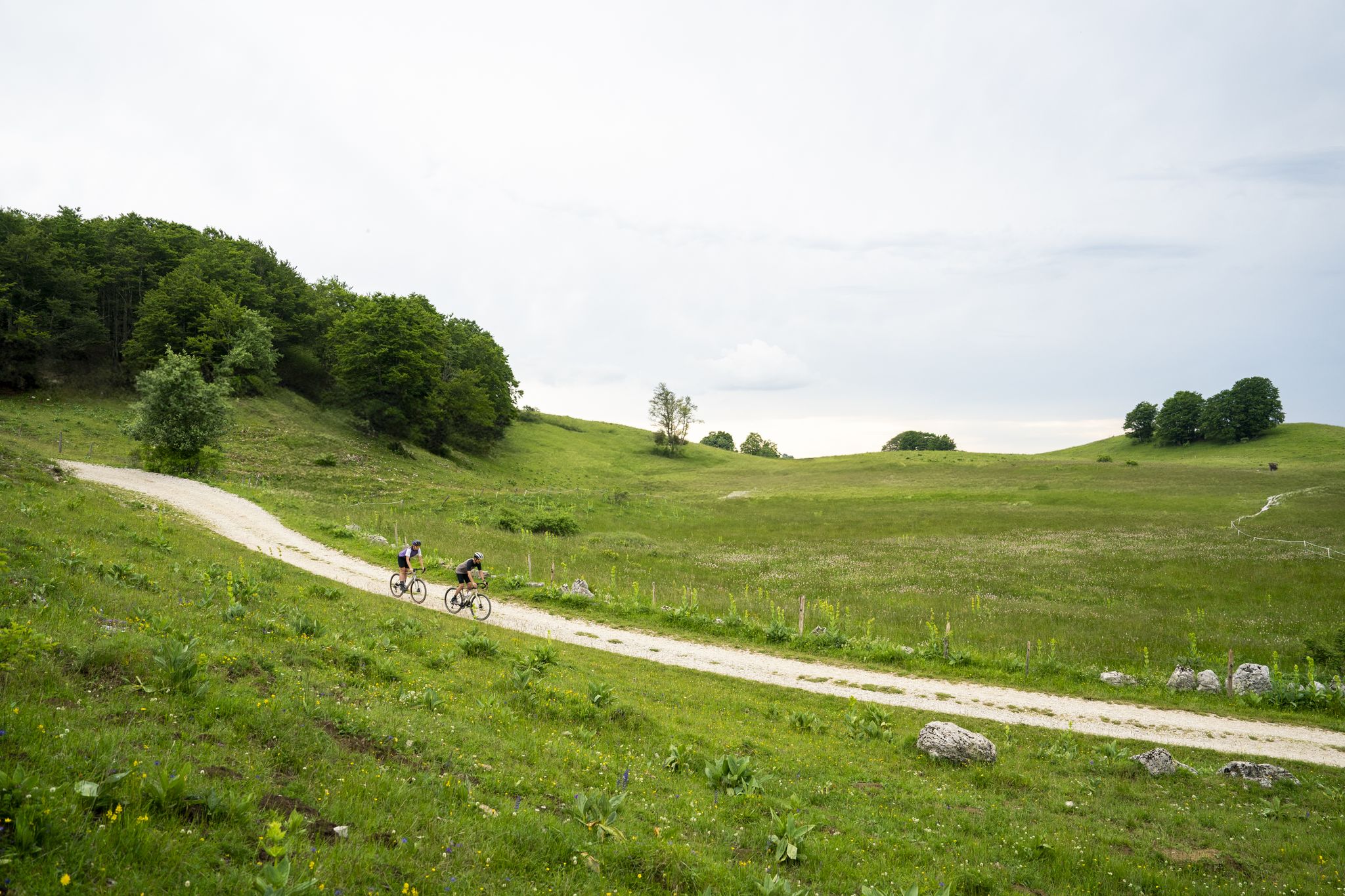
Gravel in Ain — sporty loops between water and mountain
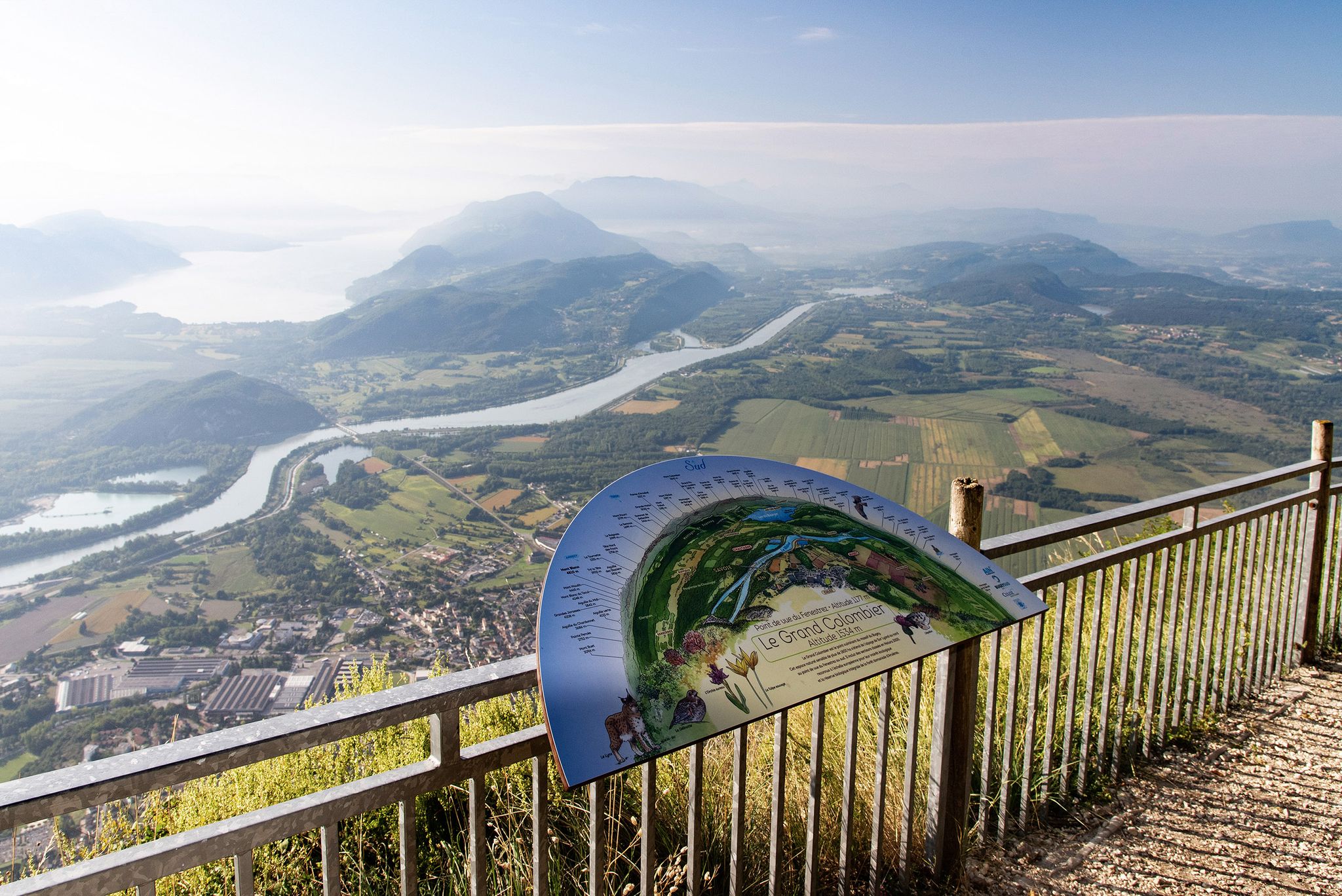
Tour de Pays MTB Bugey - Grand Colombier - Espace FFC Ain Forestière
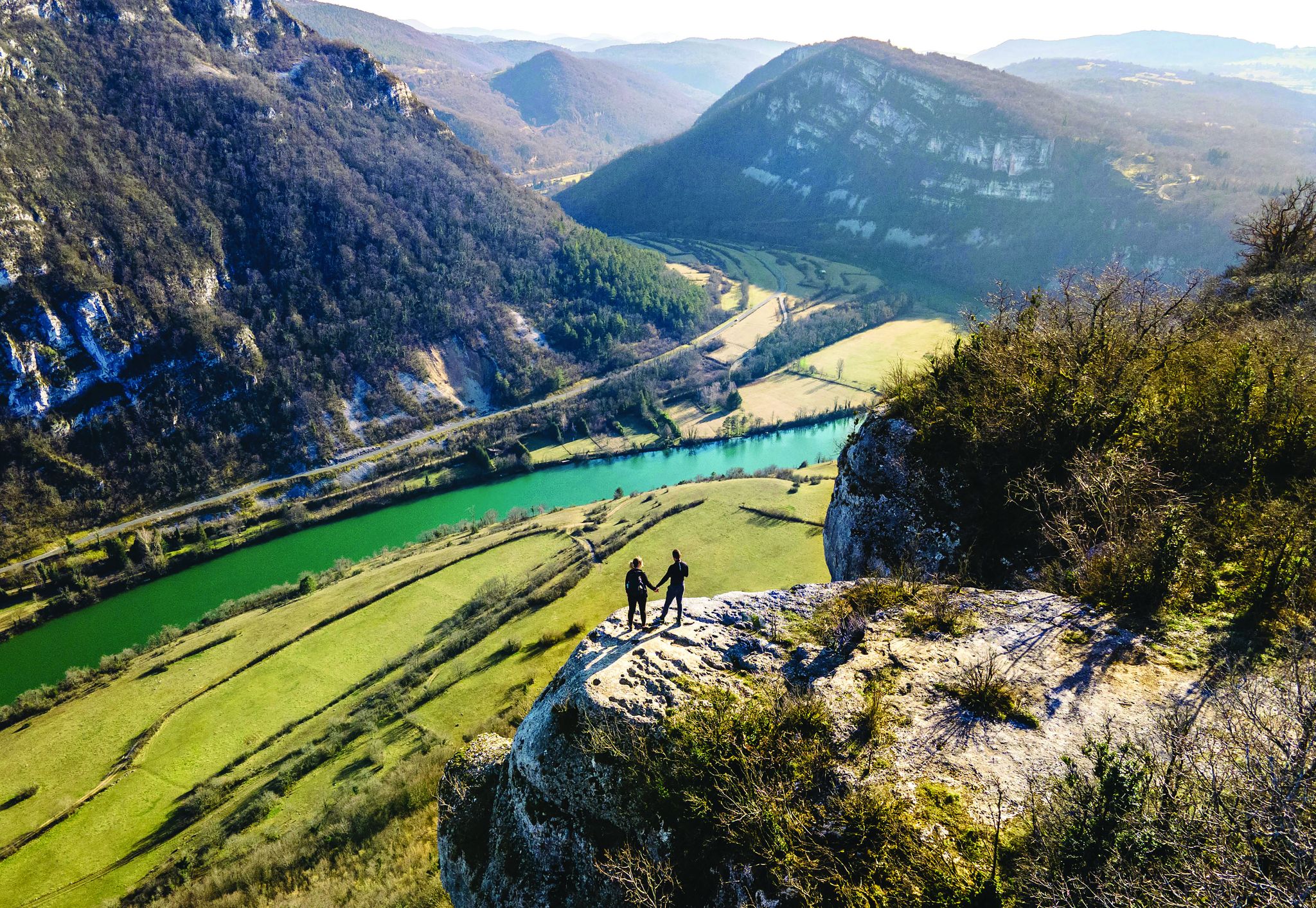
Secrets of the Ain – 10 wonderful watery hikes
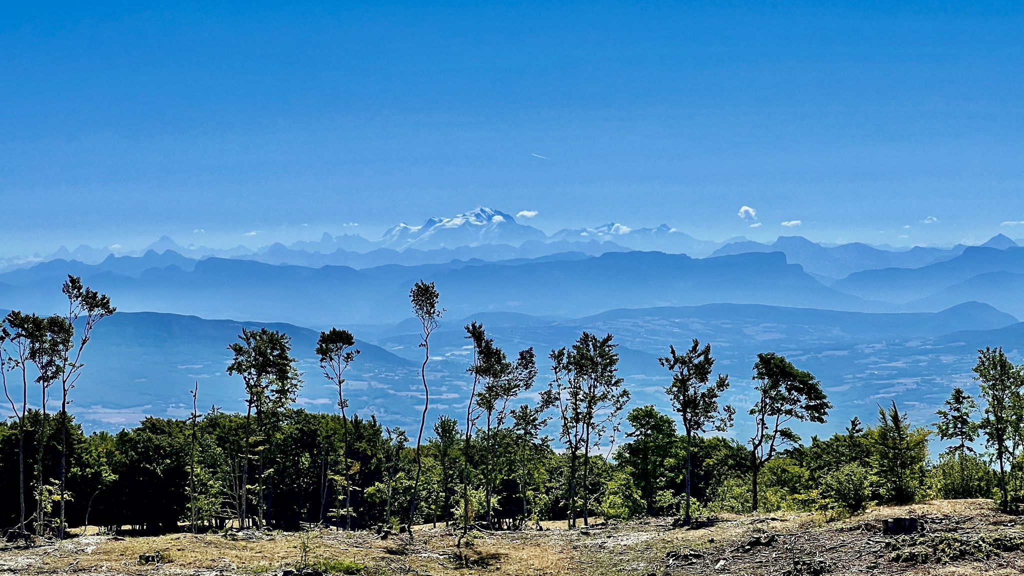
Circuits VTT entre Plateau de Retord et Grand Colombier
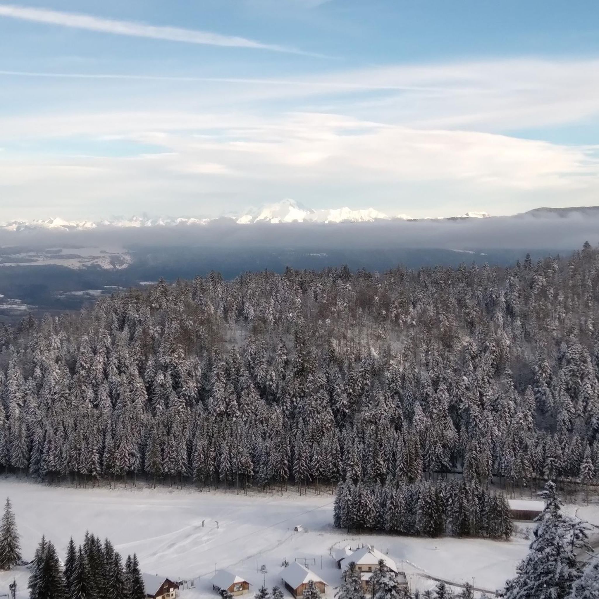
Hiking around Hauteville-Lompnes
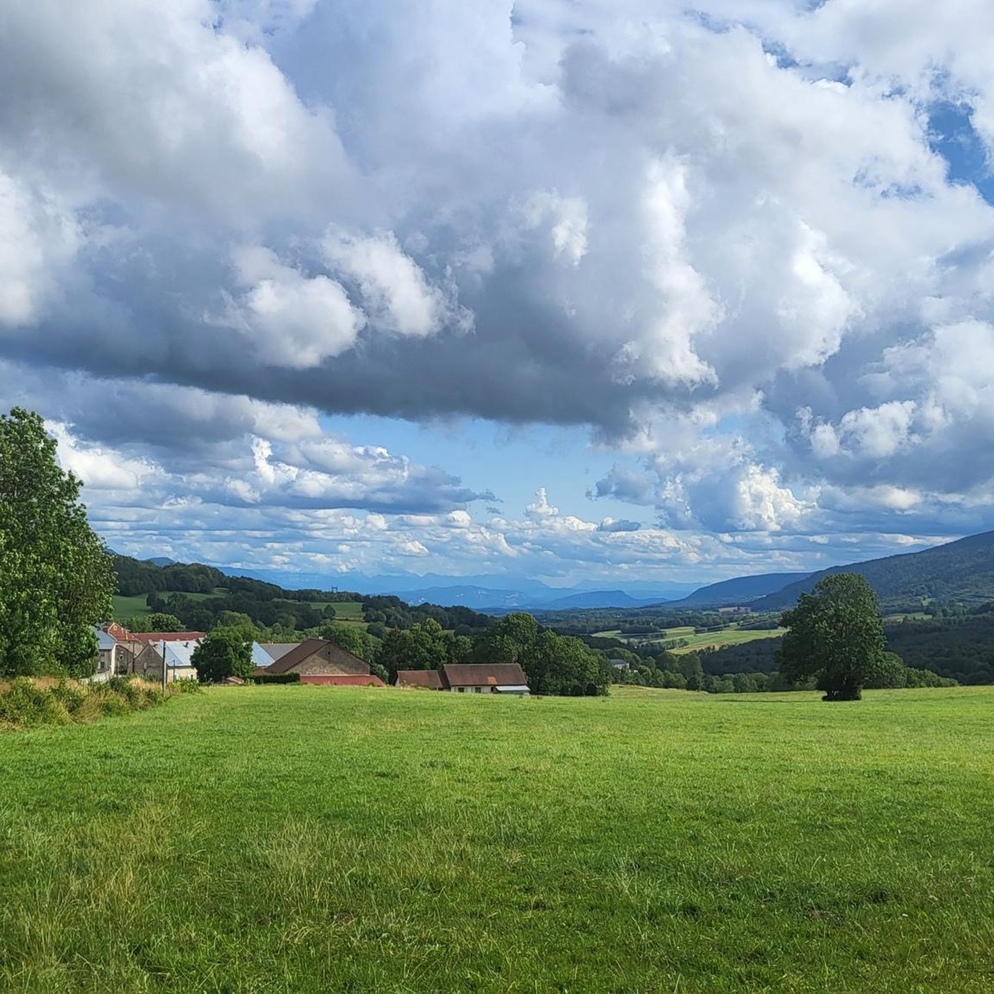
Cycling around Hauteville-Lompnes

Gravel biking around Hauteville-Lompnes
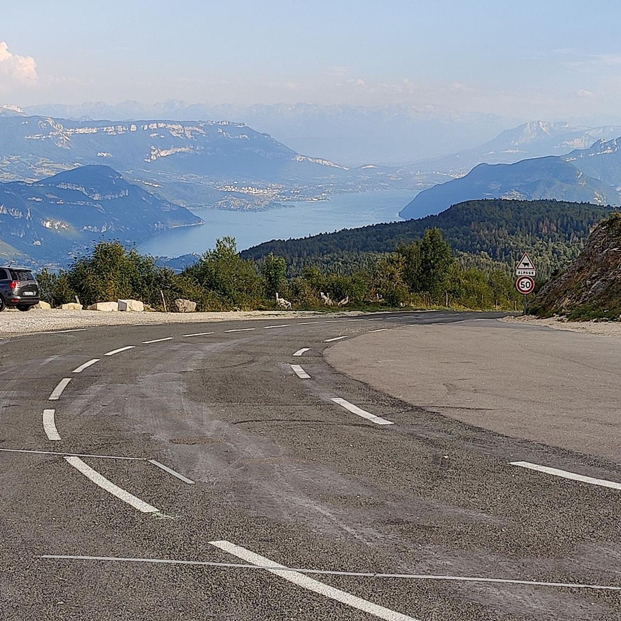
Running Trails around Hauteville-Lompnes
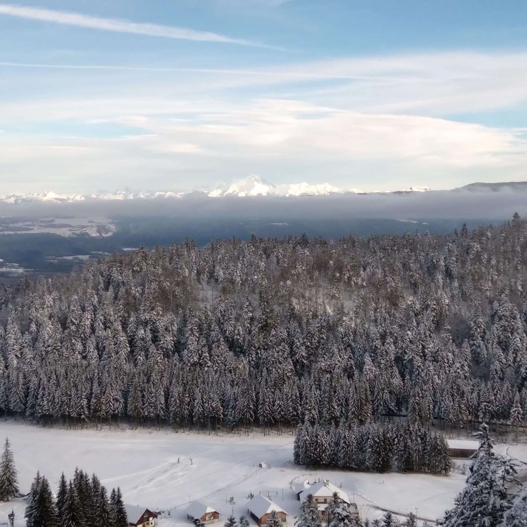
MTB Trails around Hauteville-Lompnes
Other adventures around Hauteville-Lompnes


Tips from the Community

The Marron ponds are named after a family from Brénod, it is not a reference to the color of the water. Only one of them remains filled with water all year round. This one served as a water reserve and fishing spot for the monks of the Meyriat abbey. In spring, a multitude of water lilies cover the surface.
0
0
These two lovely ponds were built by humans in 1234. They were attached to the old abbey of Saint-Sulpice, the ruins of which can be found a little further north. They offer a pleasant setting for riding in peace and quiet.
0
0

The Abbey of Ambronay was founded in 800 by Barnard de Romans, a soldier, an officer of Charlemagne, and a future saint canonized in 944. The abbey church, built on the ruins of the Carolingian church, features gargoyles, sculptures, and paintings that will amuse children with their fascinating details. The cloister is a space of serenity that invites meditation: your imagination may perhaps chase some ghostly figures of monks. The visit will end in the gardens where you will discover medicinal plants on the botanical trail. https://www.ain-tourisme.com/visiter-patrimoine/monuments-religieux-a-visiter-dans-l-ain/abbaye-benedictine-dambronay/
0
0

Here is the route for the ascent of the Col de la Rochette starting from Ruffieu
1
0
Here is the route for the ascent of the Col de Cuvillat starting from Champdor
1
0
Here is the route for the ascent of the Col du Cruchon starting from Corcelles
1
0

With this memorial, the community commemorates several victims of the Second World War. The 'camp des marais de Chautagne', where Jewish citizens were interned, was located in the Saumont district. The memorial site here—designed with the so-called 'Lorraine Cross' (a cross with two crossbars at the top) as its central element—is dedicated to courageous resistance fighters against the Nazi regime.
0
0
Frequently Asked Questions
How many road cycling routes are available in Hauteville-Lompnes?
There are over 50 road cycling routes around Hauteville-Lompnes documented on komoot. These routes cater to various skill levels, offering diverse terrain across the elevated Plateau d'Hauteville.
What are the difficulty levels of road cycling routes in Hauteville-Lompnes?
The routes in Hauteville-Lompnes offer a good mix of challenges. You'll find 5 easy routes, 19 moderate routes, and 30 difficult routes, ensuring options for every cyclist from beginners to advanced riders seeking significant elevation gains.
What kind of terrain can I expect when road cycling around Hauteville-Lompnes?
Road cycling around Hauteville-Lompnes features varied terrain, from the elevated Plateau d'Hauteville (800-1200 meters) to challenging mountain passes and scenic beech and spruce forests. Expect routes with considerable elevation changes and panoramic views over the Bugey region.
Are there challenging climbs for experienced road cyclists in Hauteville-Lompnes?
Yes, Hauteville-Lompnes is known for its demanding ascents. The Col de la Biche is a significant climb, often compared to the iconic Col du Grand Colombier due to its high percentages. Many routes feature substantial elevation gains, providing a true test for experienced riders.
Can I find easier road cycling routes suitable for beginners in Hauteville-Lompnes?
Absolutely. While the region is known for its climbs, there are 5 easy road cycling routes available. These routes offer a gentler introduction to the area's beautiful landscapes, perfect for those new to road cycling or looking for a more relaxed ride.
Are there any loop routes for road cycling in the Hauteville-Lompnes area?
Many of the road cycling routes around Hauteville-Lompnes are designed as loops, allowing you to start and finish in the same location. Examples include the moderate Col du Cruchon (903 m) – Corlier loop from Hauteville-Lompnes and the Col de Ballon (929 m) – Lèbe Pass loop from Hauteville-Lompnes.
What natural features or landmarks can I see while road cycling in Hauteville-Lompnes?
The region is rich in natural beauty. You can encounter impressive waterfalls like the Cerveyrieu Waterfall and the Claire Fontaine Waterfall. The fascinating Thurignin Gorges, carved by the Séran River, are also a notable sight. Additionally, you might pass historic sites such as Allymes Castle.
Are there scenic viewpoints along the road cycling routes in Hauteville-Lompnes?
Yes, the elevated Plateau d'Hauteville and its surrounding cols offer numerous scenic viewpoints. You'll be rewarded with stunning panoramic views over the Bugey region and its lush beech and spruce forests, especially after conquering some of the higher passes.
What do other cyclists say about road cycling in Hauteville-Lompnes?
The road cycling routes in Hauteville-Lompnes are highly rated by the komoot community, with an average score of 4.6 stars from over 50 reviews. Cyclists often praise the varied terrain, challenging climbs, and the stunning natural beauty, including the clean mountain air and picturesque forests.
Is Hauteville-Lompnes a good destination for road cycling with significant elevation gain?
Absolutely. Hauteville-Lompnes is an excellent destination for road cyclists seeking elevation gain. Many routes traverse mountain passes like Cuvillat Pass and Rochette Pass, with some routes featuring over 3,000 meters of climbing, providing a substantial workout and rewarding views.
What is the best time of year for road biking in Hauteville-Lompnes?
Hauteville-Lompnes benefits from a dry, sunny mountain climate, making it enjoyable for road cycling for much of the year. Spring and autumn offer pleasant temperatures and beautiful scenery, while summer provides warm, long days. Always check local weather conditions, especially for higher passes, as they can be affected by snow in early spring or late autumn.
Are there any routes that combine road cycling with cultural or historical exploration?
Yes, some routes offer opportunities to combine your ride with cultural exploration. For instance, the difficult Albarine Greenway – Ambronay Abbey loop from Hauteville-Lompnes can lead you past historical sites or through charming villages, allowing you to experience the region's heritage alongside its natural beauty.
Most popular routes around Hauteville-Lompnes
Most popular attractions around Hauteville-Lompnes

Get inspired with the komoot mobile app


Explore more
Browse the best Road cycling routes in other regions.
