The best cycling routes around Marcorignan
4.4
(904)
6,786
riders
247
rides
Touring cycling routes around Marcorignan offer access to diverse landscapes within the Occitanie region of Southern France. The area is characterized by relatively flat canal paths, such as those along the Canal de la Robine and Canal du Midi, alongside rolling plains and the foothills of the Pyrenees. Cyclists can experience varied terrain, from untamed natural areas to vineyards and wooded sections. This topography provides options for different fitness levels, from relaxed rides to more challenging routes with significant elevation…
Last updated: October 8, 2026
4.4
(122)
852
riders
96.4km
07:13
230m
230m
Hard bike ride. Very good fitness required. Mostly paved surfaces. Suitable for all skill levels.
4.2
(27)
200
riders
Moderate bike ride. Good fitness required. Mostly paved surfaces. Suitable for all skill levels.

4.4
(13)
70
riders
56.8km
03:31
210m
210m
Moderate bike ride. Good fitness required. Mostly paved surfaces. Suitable for all skill levels.
19
riders
46.3km
04:20
870m
870m
Hard bike ride. Very good fitness required. You may need to push your bike for some segments of this route.
5.0
(3)
7
riders
18.4km
01:04
80m
80m
Easy bike ride. Great for any fitness level. Mostly paved surfaces. Suitable for all skill levels.
Get access to more routes and recommendations from other explorers.
Already have an account?
Our route recommendations are based on thousands of hikes, rides, and runs completed by other people on komoot.
Start today with a free account
Your next adventure awaits.
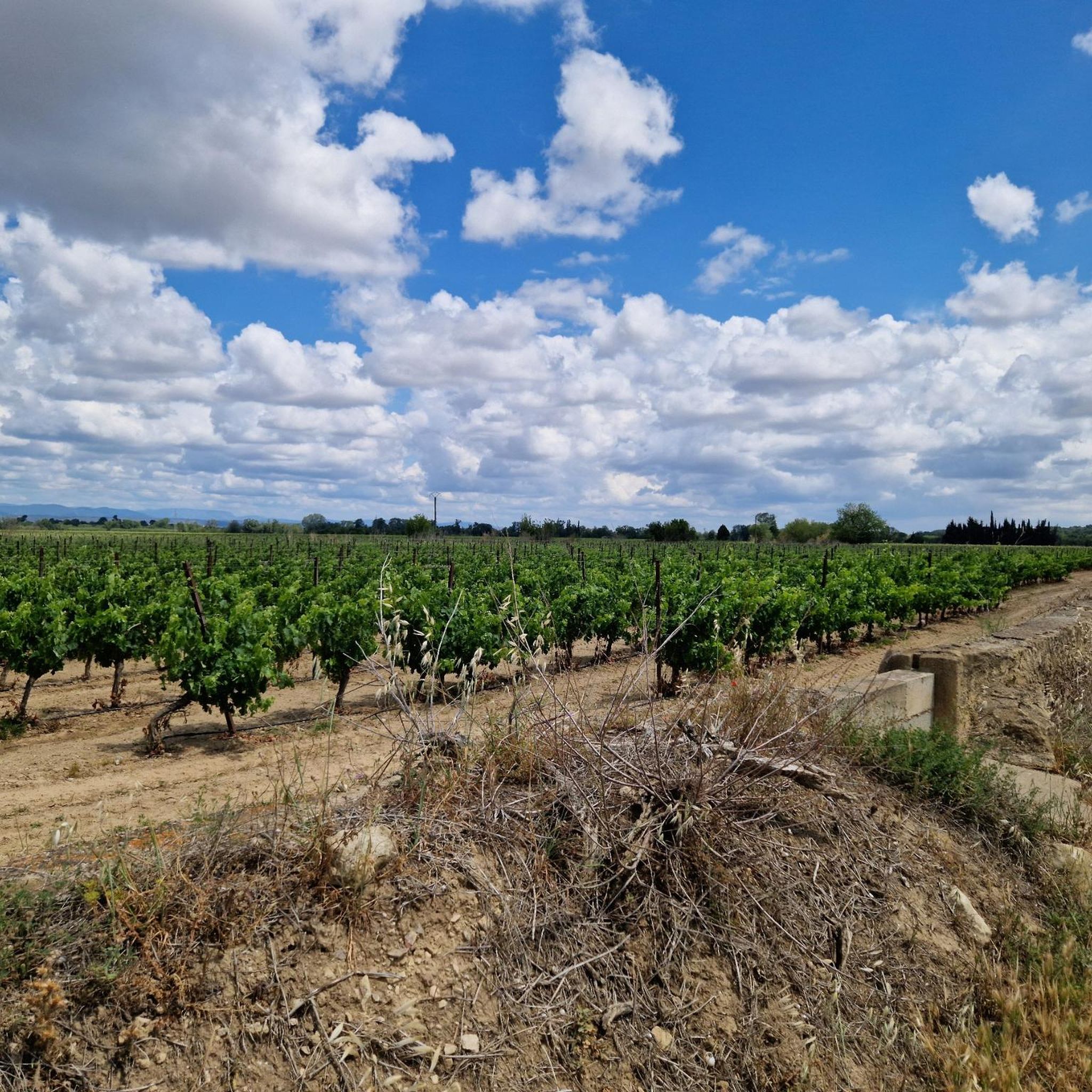
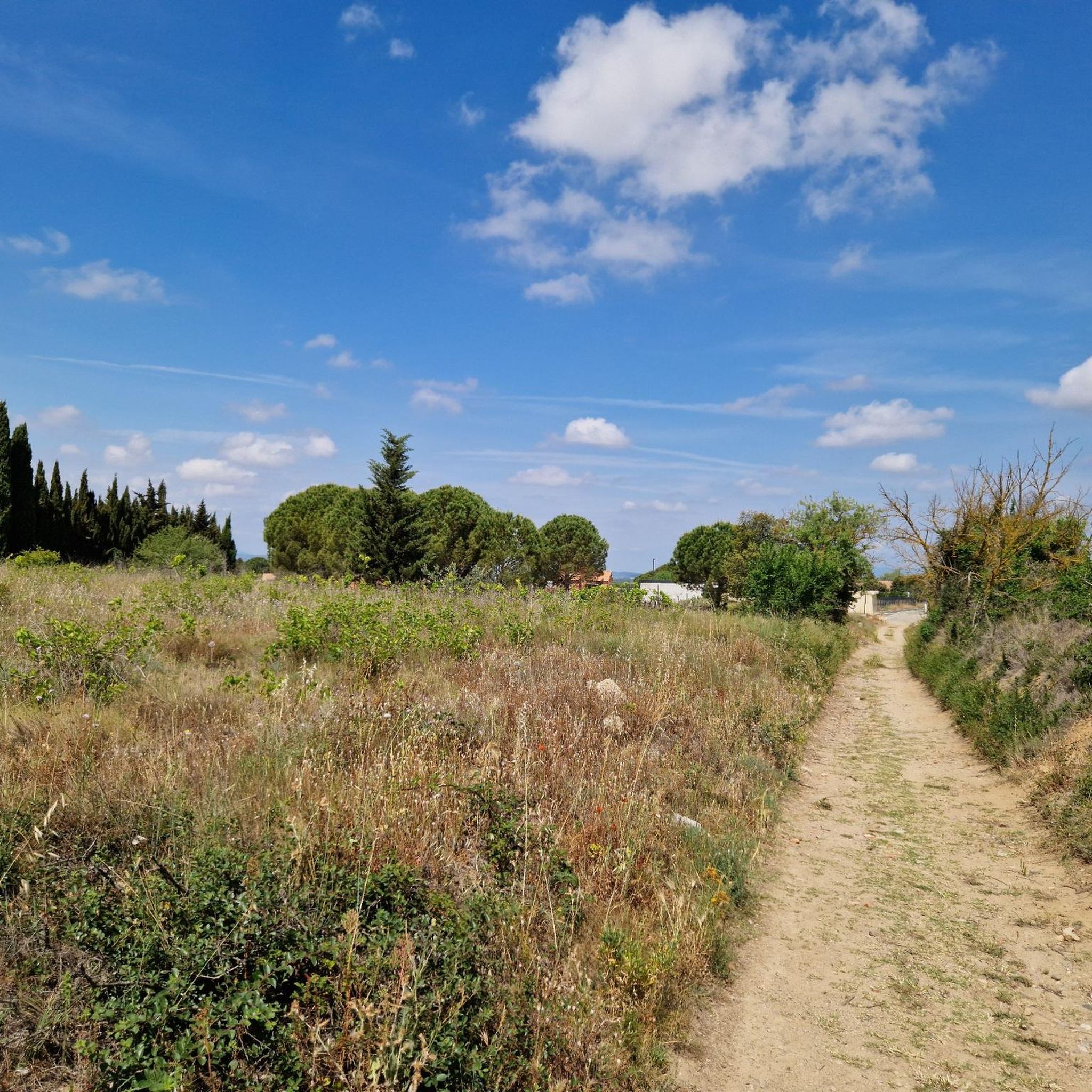

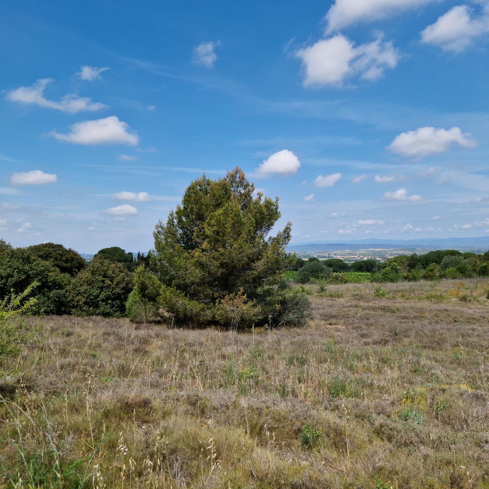
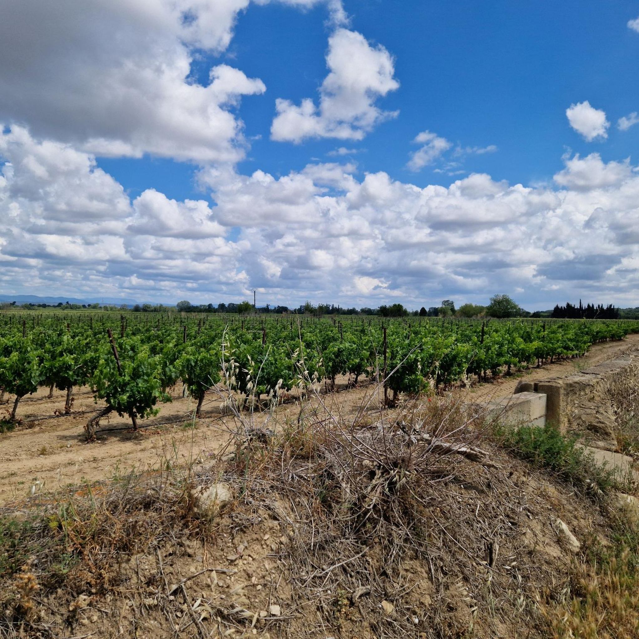
Tips from the Community

For over 2,000 years, people have traveled this road! Deep grooves can be seen in the stones. The original surface was probably much better, as is known from Roman road construction. So why not connect with this road on our bikes?
0
0

This route is fine if you’re just on a bike though some may find earlier sections narrow and difficult to navigate due to mooring ropes across the path. We did it with our dog trailer and found some sections precarious and too narrow for the trailer tbh.
0
0

From this narrow strip of land, the lagoon landscape of Gruissan reads almost like a succession of parallel bands: the wetlands and secondary ponds to the south, the path, the Sainte-Marie canal, then the Gruissan pond to the north. The Sainte-Marie canal bears witness to the former hydraulic development of the coastal plain. Integrated into a network of canals intended to manage its waters, it notably participated in the draining of the former salt pond. Today, it contributes to the freshwater supply of the Gruissan pond and thus participates in the salinity variations of the lagoon. Beyond the pond, the reliefs of Gruissan and the Barberousse Tower stand out on the horizon.
2
0
From the pond of Gruissan, there is a wide panorama of the village and the Tour Barberousse. The current tower, built between 1245 and 1247 by the archbishop of Narbonne, Guillaume de Broa, is the main remnant of a medieval castle that guarded the maritime access to the Narbonne area.
2
0

The Trèbes locks are a flight of locks composed of three basins. Built around 1674, it is located downstream from the port of Trèbes at the exit of the town in the direction of the village of Marseillette. Taking advantage of the strong difference in level of the flight, an intense milling activity was established on the left bank of the lock. A first upper mill was built at the end of the 17th century. It is crossed by a diversion of the Canal du Midi which ensures its operation; it is described as having four millstones with a stable and a shed. A transformation of this first mill was carried out in 1867 to make it a flour mill comprising 6 millstones. This new building, later enlarged in the 1930s, consists of a base and 4 floors at its highest point. Today it has been converted into a restaurant.
0
0
The Canal du Midi, formerly the Royal Canal, is a 17th-century technical feat designed by Pierre-Paul Riquet to connect the Atlantic to the Mediterranean. Today, it is above all a place for relaxation and discovery, where heritage, nature, and conviviality blend together.
0
0
The l'Aiguille lock is a double lock on the Canal du Midi located in the commune of Puichéric.
0
0
L'Epanchoir de l'Argent Double, classified as a historic monument: started in 1677 and completed in 1694 according to Vauban's plans, it allows the canal to discharge its excess water.
0
0
Frequently Asked Questions
How many touring cycling routes are available around Marcorignan?
There are over 250 touring cycling routes around Marcorignan, offering a wide range of options for different skill levels. You'll find 93 easy routes, 104 moderate routes, and 55 difficult routes to explore.
What kind of terrain can I expect on touring cycling routes near Marcorignan?
The terrain around Marcorignan is quite diverse. You can expect relatively flat and scenic canal paths along the Canal de la Robine and Canal du Midi, as well as rolling plains, vineyards, and wooded sections. Some routes venture into the foothills, offering more significant elevation changes.
Are there any family-friendly touring cycling routes in the Marcorignan area?
Yes, the flat and well-maintained paths along the Canal de la Robine and Canal du Midi are particularly suitable for family cycling. These routes offer relaxed rides through varied and untamed landscapes, perfect for all ages.
What are some notable landmarks or attractions I can see along the cycling routes?
Many routes pass by significant historical and natural attractions. You might encounter the picturesque Port of Somail, the Junction of the Canal du Midi and the Canal de la Robine, or sections of the ancient Via Domitia. The Saint-Just and Saint-Pasteur Cathedral of Narbonne is also a worthwhile attraction in the vicinity.
Are there any circular touring cycling routes available?
Yes, many routes around Marcorignan are designed as loops. For example, the Gruissan Lagoon – Panorama of Gruissan loop from Névian offers coastal landscapes and lagoon views, while the Moulin de Moussan – Wind turbines of the Hill loop from Marcorignan takes you through scenic areas with wind turbines.
What do other touring cyclists say about the routes in Marcorignan?
The touring cycling routes in Marcorignan are highly rated by the komoot community, with an average score of 4.4 stars from over 700 reviews. Cyclists often praise the diverse scenery, from tranquil canal paths to challenging hill climbs, and the historical points of interest along the way.
Can I find routes that offer significant elevation challenges?
Absolutely. While many routes are relatively flat, the broader Occitanie region and some specific tours near Marcorignan offer significant elevation gains. For instance, the Moulin de Moussan – Wind turbines of the Hill loop from Marcorignan is a difficult route with over 800 meters of elevation gain, suitable for those seeking a more strenuous ride.
Are there any easy, shorter routes for a relaxed ride?
Yes, for a relaxed and shorter ride, consider the Sallèles-d'Aude – Canal at Sallèles loop from Moussan. This easy route covers about 18.8 km and takes just over an hour, offering pleasant canal-side cycling.
What is the best time of year for touring cycling in Marcorignan?
While not explicitly stated, the Occitanie region generally enjoys a Mediterranean climate. Spring and autumn typically offer pleasant temperatures and less crowded conditions, making them ideal for touring cycling. Summers can be hot, especially in the middle of the day, while winters are mild but can be damp.
Are there any routes that combine historical waterways with other features?
Many routes integrate the historical waterways with other regional characteristics. The Gailhousty Lock and Spillway – Via Domitia loop from Saint-Marcel-sur-Aude is a moderate route that features canal-side riding alongside historical elements like the Gailhousty Lock and Spillway and sections of the ancient Via Domitia.
Are there options for longer, more challenging touring cycling adventures?
For those seeking a longer and more challenging ride, the Argent-Double Spillway – Trèbes Triple Locks loop from Névian is a difficult 96.4 km route that explores historical waterways and offers varied scenery over approximately 7 hours.
Most popular routes around Marcorignan
Most popular attractions around Marcorignan

Get inspired with the komoot mobile app


Explore more
Browse the best Cycling routes in other regions.
