The best road cycling routes around Saint-Marcan
4.2
(71)
2,473
riders
94
rides
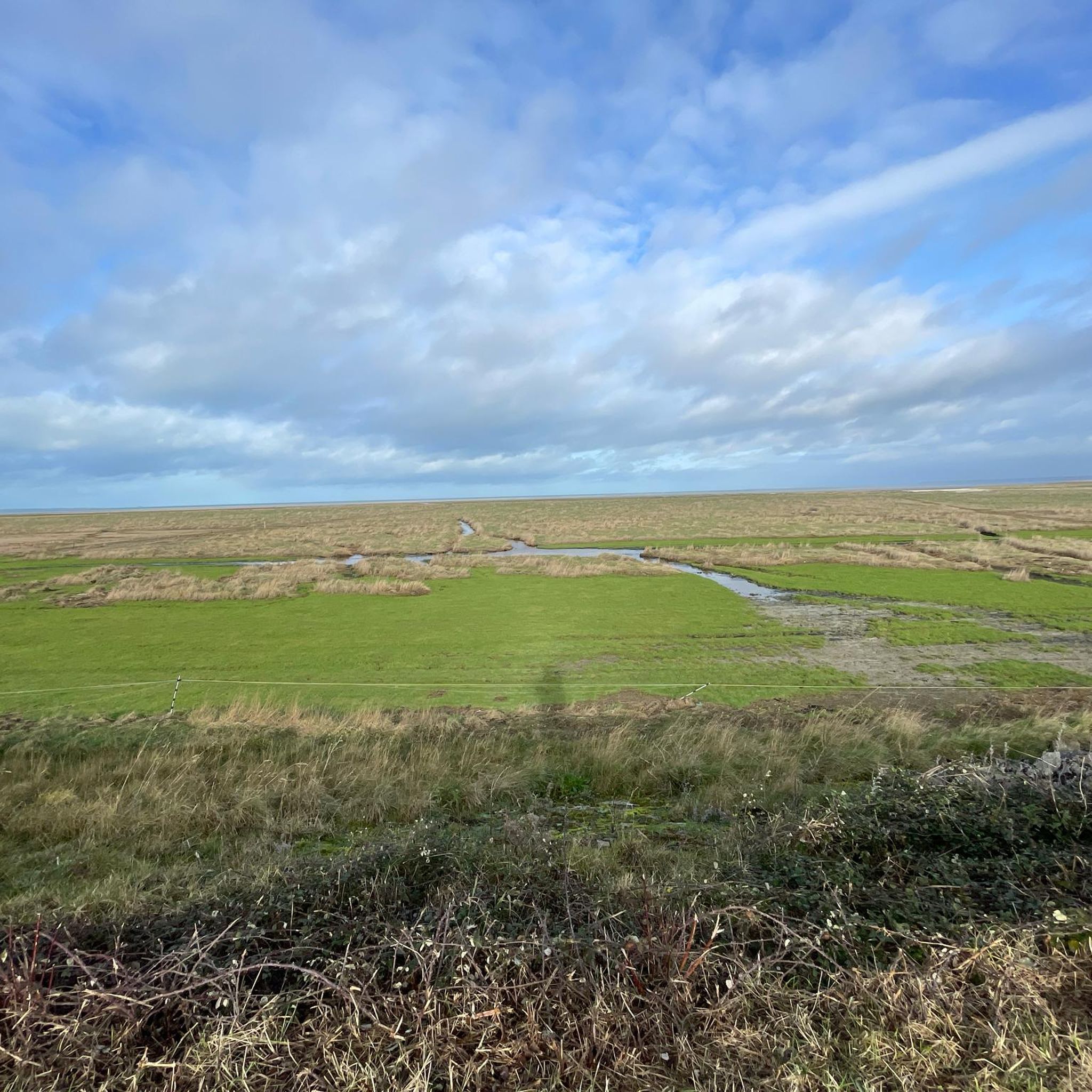
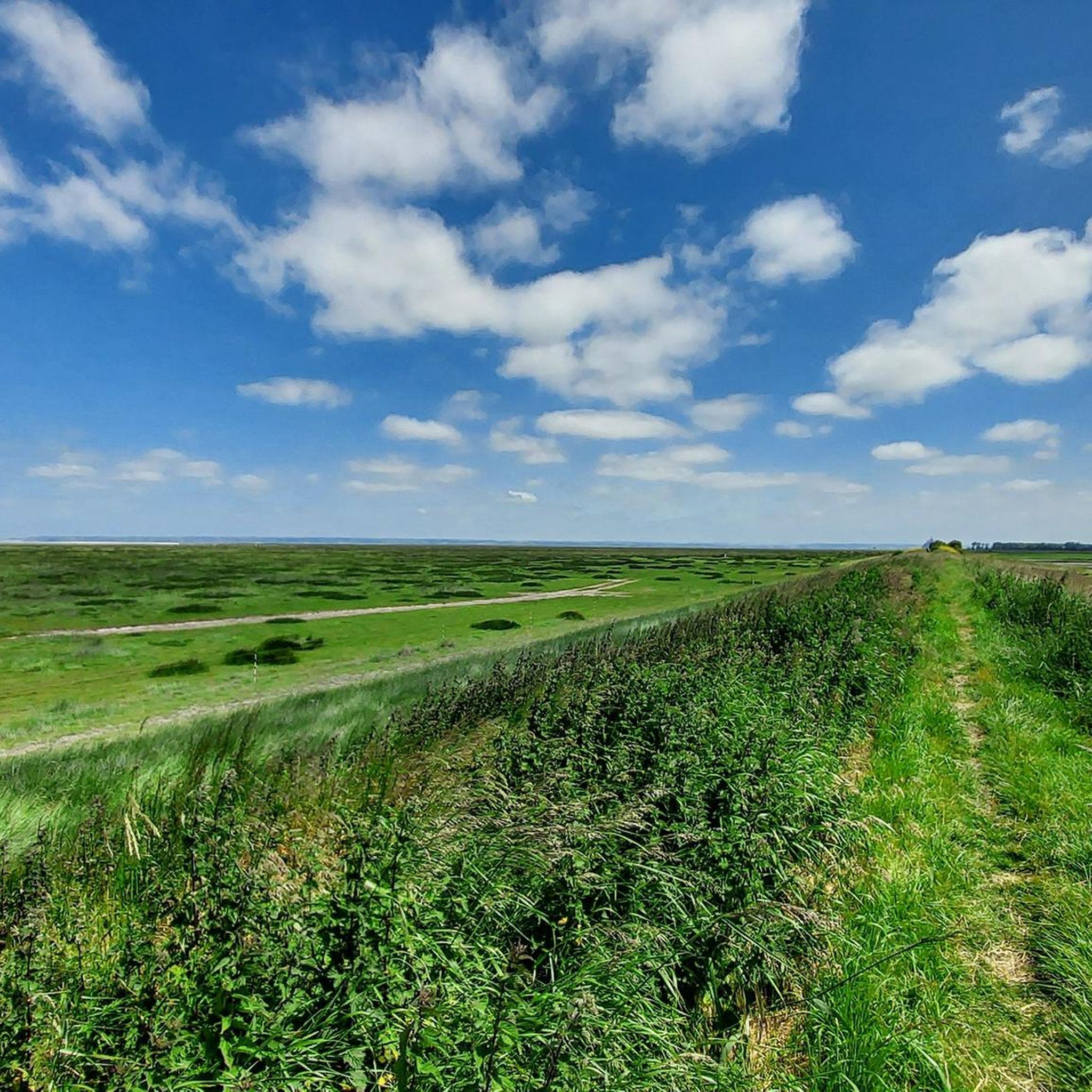
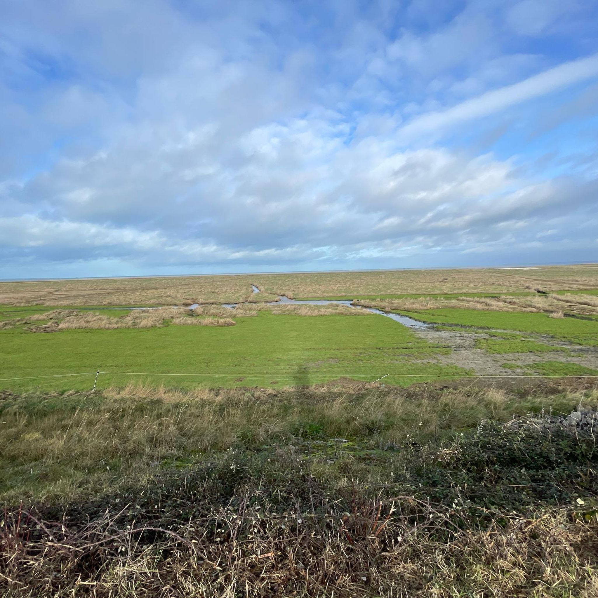
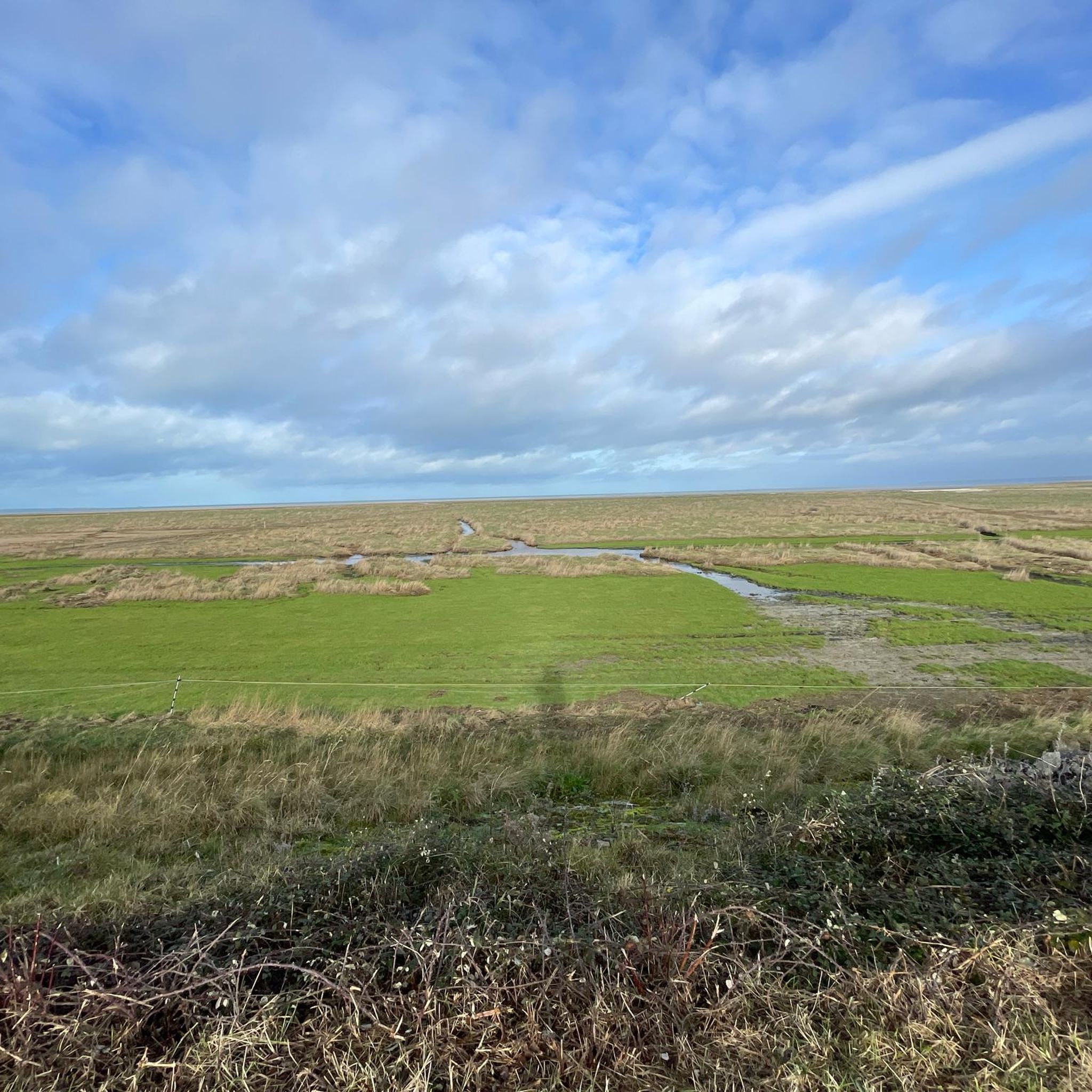
Road cycling routes around Saint-Marcan traverse a landscape characterized by flat roads, river valleys, and coastal views. The region features the Bay of Mont-Saint-Michel and its polders, offering open terrain for cyclists. Routes often follow the Couesnon river, providing views of Mont-Saint-Michel. The area also includes parts of the Marais du Cotentin et du Bessin nature park, known for its unique natural features.
Best road cycling routes around Saint-Marcan
- The most popular road cycling route is The Bay of Mont-Saint-Michel…
Last updated: October 8, 2026
11
riders
50.9km
02:14
270m
280m
Moderate road ride. Good fitness required. Some segments of this route may be unpaved and difficult to ride.
8
riders
51.3km
02:07
360m
360m
Moderate road ride. Good fitness required. Mostly well-paved surfaces and easy to ride.

5
riders
52.4km
02:34
470m
460m
Moderate road ride. Good fitness required. Some segments of this route may be unpaved and difficult to ride.
6
riders
46.0km
01:57
210m
210m
Moderate road ride. Great for any fitness level. Some segments of this route may be unpaved and difficult to ride.
4
riders
55.2km
02:35
460m
460m
Moderate road ride. Good fitness required. Some segments of this route may be unpaved and difficult to ride.
Get access to more routes and recommendations from other explorers.
Already have an account?
Our route recommendations are based on thousands of hikes, rides, and runs completed by other people on komoot.
Start today with a free account
Your next adventure awaits.

Tips from the Community

Absolument sublime !!!
1
0


very nice cycle path in the shade
0
0

Numerous Breton legends surround the stone. One of the most famous tells that the menhir sinks a little deeper into the ground each year, and that its complete disappearance will signal the end of the world. Another legend sees it as a divine sign that separated two feuding brothers and gave the field the name "Champ-Dolent," or "Field of Sorrow."
1
0
South of Dol-de-Bretagne rises the Menhir du Champ-Dolent, a mighty granite block from the Neolithic period. At almost ten meters high, it is one of the largest surviving menhirs in France. Its weight is estimated at around 100 tons, and it was probably extracted from the immediate surroundings. Its original function remains unclear to this day—researchers suspect ritual or symbolic purposes, perhaps even an astronomical alignment.
1
0

The water we crossed was quite muddy, but that's just a side note.
1
1

This greenway between Mont Saint-Michel and Pontorson alternates between magnificent stretches with unobstructed views and shaded sections with bucolic charm. Away from road traffic, this section reveals the unique calm of nature.
1
0

Frequently Asked Questions
How many road cycling routes are available around Saint-Marcan?
There are nearly 100 road cycling routes around Saint-Marcan, offering a variety of options for different skill levels. You'll find routes traversing flat roads, river valleys, and coastal areas.
What is the general difficulty level of road cycling routes in Saint-Marcan?
The majority of road cycling routes in Saint-Marcan are considered easy to moderate. Approximately 29 routes are easy, 62 are moderate, and a smaller number (7) are more challenging, ensuring options for various fitness levels.
What kind of terrain can I expect on road cycling routes near Saint-Marcan?
The region around Saint-Marcan is characterized by mostly paved, flat roads, river valleys, and coastal views. You'll cycle through the Bay of Mont-Saint-Michel and its polders, offering open terrain. Some routes also pass through parts of the Marais du Cotentin et du Bessin nature park, known for its unique natural features.
Are there any family-friendly road cycling routes in Saint-Marcan?
Yes, many of the routes around Saint-Marcan are suitable for families, especially those looking for easier rides on mostly flat terrain. Routes like View of Mont Saint-Michel – The dam on the Couesnon loop from Roz-sur-Couesnon offer scenic views and are rated as easy, making them a good choice for a family outing.
What can I see along the road cycling routes in Saint-Marcan?
Road cycling routes in Saint-Marcan offer views of the iconic Mont Saint-Michel and often follow the Couesnon river. You might also pass by historical sites like the Moulin de la Saline, a functional windmill, or the Megalithic Tombs of Saint-Broladre.
Are there any circular road cycling routes available?
Yes, many routes in the Saint-Marcan area are circular, allowing you to start and end at the same point. An example is the The Bay of Mont-Saint-Michel – Saint Anne Chapel loop from Roz-sur-Couesnon, which is a moderate 46.1 km loop.
What do other road cyclists enjoy the most about road cycling in Saint-Marcan?
The area is highly rated by the komoot community, with an average score of 4.3 stars from over 60 reviews. Cyclists frequently praise the stunning views of the Bay of Mont-Saint-Michel, the flat polders, and the well-maintained routes along the Couesnon river.
Are there any routes that offer views of Mont-Saint-Michel?
Absolutely. Many routes are designed to showcase the magnificent Mont-Saint-Michel. For instance, the View of Mont Saint-Michel – The dam on the Couesnon loop from Roz-sur-Couesnon provides excellent vistas of this iconic landmark.
What are some longer road cycling routes for more advanced riders?
For longer excursions, routes like the 'Moulin de la Saline – Guesclin Beach loop' (81.9 km with 330m elevation gain) mentioned in regional research offer a more extended ride. While not listed in the guide data, the Chappe Telegraph – Our Lady of the Assumption loop from Roz-sur-Couesnon is a 48.7 km moderate route with a notable elevation gain of 486m.
Are there any specific attractions or towns worth visiting near the cycling routes?
Beyond the natural beauty, you can visit Mont-Saint-Michel itself. Nearby towns like Mont-Dol and Dol-de-Bretagne, both about 10 km away, offer scenic views and charming old town atmospheres. Cancale, known for its fresh oysters, is also about 17 km from Saint-Marcan and makes for a delightful culinary stop.
What is the best time of year for road cycling in Saint-Marcan?
The region is generally pleasant for road cycling from spring through autumn. The flat terrain and coastal influences mean conditions are often favorable, but checking local weather forecasts is always recommended, especially for coastal winds.
Are there routes that pass by coastal areas or beaches?
Yes, several routes offer coastal experiences. The Saint Anne Chapel – Cherrueix Beach loop from Roz-sur-Couesnon is a moderate 45.4 km trail that specifically leads through coastal areas and past Cherrueix Beach.
Most popular routes around Saint-Marcan
Most popular attractions around Saint-Marcan

Get inspired with the komoot mobile app


Explore more
Browse the best Road cycling routes in other regions.
