The best walks and hikes around Monterrein
4.6
(207)
1,509
hikers
103
hikes
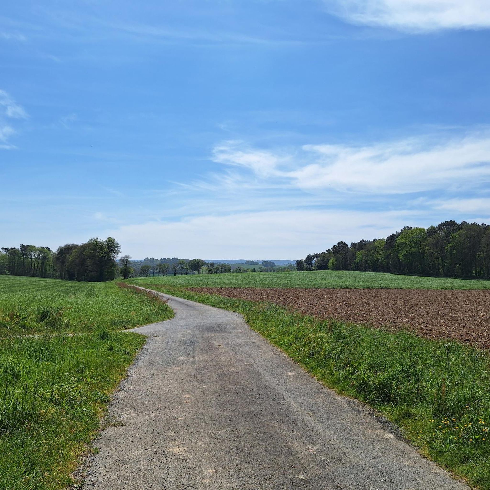
Hiking trails around Monterrein traverse a landscape characterized by gentle waterways, historical landmarks, and greenways. The region, located in Brittany, offers mostly flat to gently undulating terrain, making it suitable for accessible outdoor activities. Routes often follow canals and pass by local heritage sites.
Best hiking trails around Monterrein
- The most popular hiking route is Montertelot Lock – Saint-Laurent Church loop from Val d'Oust, a 4.4 miles (7.1 km) trail that takes 1 hour 49 minutes to complete. This…
Last updated: September 28, 2026
4.8
(11)
56
hikers
8.47km
02:12
50m
50m
Moderate hike. Good fitness required. Easily-accessible paths. Suitable for all skill levels.
4.9
(11)
61
hikers
9.11km
02:23
70m
70m
Moderate hike. Good fitness required. Easily-accessible paths. Suitable for all skill levels.

5.0
(1)
20
hikers
Hard hike. Very good fitness required. Easily-accessible paths. Suitable for all skill levels.
4.5
(2)
23
hikers
9.87km
02:34
60m
60m
Moderate hike. Good fitness required. Easily-accessible paths. Suitable for all skill levels.
8
hikers
24.1km
06:14
140m
140m
Hard hike. Very good fitness required. Easily-accessible paths. Suitable for all skill levels.
Get access to more routes and recommendations from other explorers.
Already have an account?
Our route recommendations are based on thousands of hikes, rides, and runs completed by other people on komoot.
Start today with a free account
Your next adventure awaits.
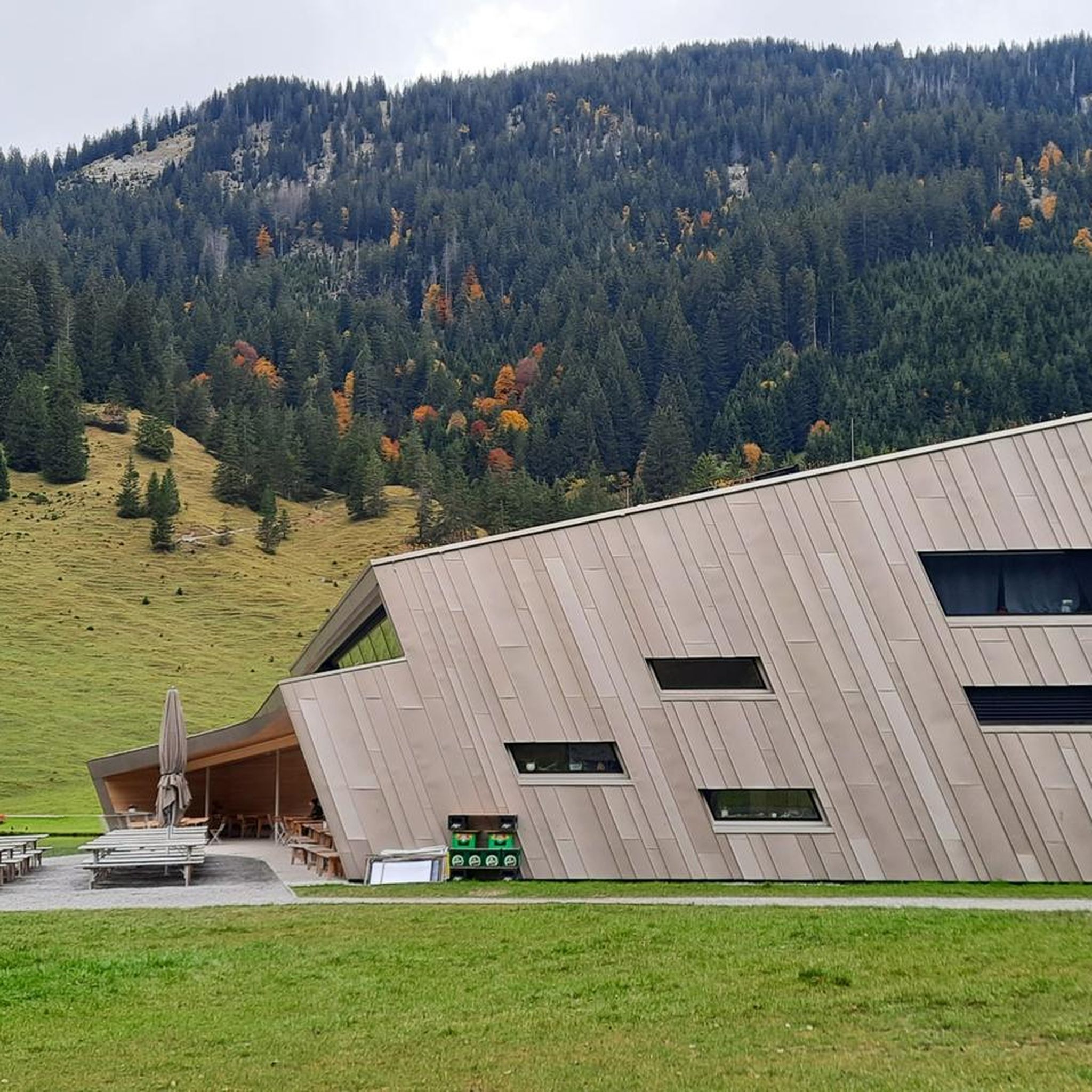
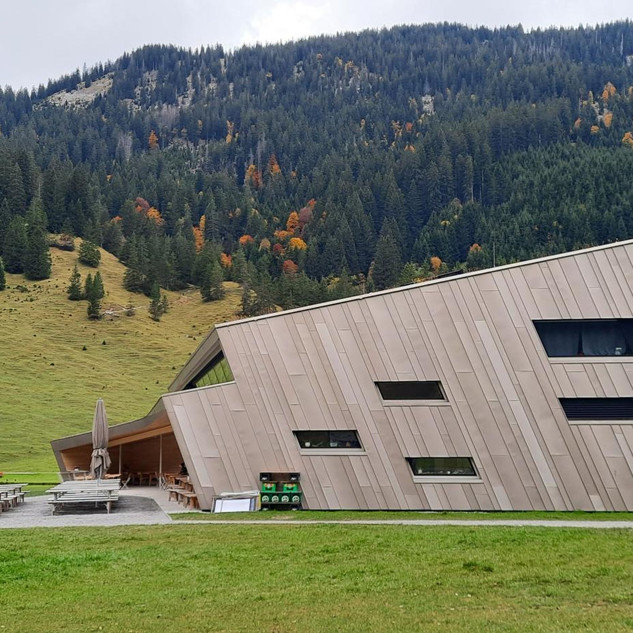


Tips from the Community

Absolutely charming town, lots of little corners with beautiful things. Definitely recommend stopping and enjoying.
0
0

... and we almost drove past. The medieval town is worth visiting twice! The buildings have great architecture and there are plenty of restaurants.
0
0

It is worth stopping here for a moment and enjoying the beautiful view. A charming little lock surrounded by well-kept greenery and flowers.
0
0
It's really worth visiting! Beautifully renovated and maintained houses from the 15th and 16th century create an amazing atmosphere of a truly historic village. True wonders of ancient architecture.
0
0

Beautiful small town with stone and half-timbered houses worth seeing. The founding of Malestroit dates back to 987, when monks settled on the banks of the Oust. The place became a stage destination on the Way of St. James, one of the pilgrimage routes to Santiago de Compostela. In 1131 the place was mentioned under the name Malestricum. During the Hundred Years' War in 1343 in the chapel de la Madeleine in Malestroit by the French king Philip VI. and the English King Edward III. signed a ceasefire. At the end of the Middle Ages, Malestroit became one of the nine baronies of Brittany. At the beginning of the 19th century, Napoleon I commissioned the construction of the Canal de Nantes à Brest, initially for military reasons, but later also with the aim of connecting the interior of Brittany to commercial goods traffic. Source: Wikipedia
1
0


Installed since the 12th century and symbolizing seigneurial power, water mills rise on Île Notre-Dame and along the river to produce tan, essential for the activity of tanneries, flour and cloth. by treading on woven fabrics. In the 19th century, only two mills remained in Malestroit, one for tan and the other for flour. The flour mill becomes a tan mill to meet the demands of tanners: two weirs allow water to be retained. Returned to a flour mill in the 1950s, it closed in 2007
2
0
Frequently Asked Questions
What kind of terrain can I expect on hiking trails around Monterrein?
Hiking trails around Monterrein are characterized by gentle waterways, historical landmarks, and greenways. The terrain is mostly flat to gently undulating, making it suitable for accessible outdoor activities. Many routes follow canals and pass by local heritage sites.
How many hiking routes are available in the Monterrein area?
There are over 85 hiking routes available around Monterrein, offering a variety of options for different skill levels and preferences.
Are there easy hiking trails suitable for beginners or families in Monterrein?
Yes, Monterrein offers a good selection of easy trails. Approximately half of the routes are classified as easy. An example is the Montertelot Lock – Saint-Laurent Church loop from Val d'Oust, which is 7.1 km long and passes by historical sites and along the canal.
What are some longer or more challenging hiking options in Monterrein?
For those seeking a longer challenge, the Château de Crévy – Historic centre of Malestroit loop from Val d'Oust is a difficult 22.18 km trail. There are 5 difficult routes in total, offering more extensive exploration of the local countryside.
Are there any circular hiking routes around Monterrein?
Yes, many of the trails in Monterrein are circular, allowing you to start and end at the same point. Examples include the Château de Crévy – Saint-Laur Fountain loop from Val d'Oust and the Canal and greenway loop from Val d'Oust.
What historical sites or attractions can I see while hiking in Monterrein?
The trails often lead past significant historical sites. You can explore the Historic centre of Malestroit, the Mills of Île Notre-Dame in Malestroit, or even the impressive Trécesson Castle. Many routes incorporate these points of interest.
What do other hikers say about the trails in Monterrein?
The hiking routes in Monterrein are highly rated by the komoot community, with an average score of 4.7 stars from over 150 reviews. Hikers often praise the scenic canals, greenways, and the historical points of interest along the paths.
Is Monterrein a good destination for family-friendly hikes?
Given the mostly flat to gently undulating terrain and the abundance of easy routes, Monterrein is well-suited for family-friendly hikes. Many trails follow canals and greenways, offering pleasant and accessible walks for all ages.
Are there any trails that offer good opportunities for photography?
The region's gentle waterways, historical landmarks, and greenways provide picturesque settings for photography. Trails along the canals, such as the Montertelot lock – Montertelot Lock loop from Val d'Oust, offer charming views of the local landscape and heritage.
What is the best time of year to go hiking in Monterrein?
While specific seasonal data isn't provided, the gentle terrain and focus on canals and greenways suggest that spring, summer, and early autumn would be ideal for hiking in Monterrein, offering pleasant weather and lush scenery.
Are there any moderate difficulty trails for a balanced hiking experience?
Yes, Monterrein offers 39 moderate trails. A popular choice is the Château de Crévy – Saint-Laur Fountain loop from Val d'Oust, a 8.1 km path that winds through the local countryside and connects historical points, providing a balanced challenge.
Most popular routes around Monterrein
Most popular attractions around Monterrein

Get inspired with the komoot mobile app


Explore more
Browse the best Hikes in other regions.
