The best MTB trails around Montbenoît
4.5
(112)
771
riders
35
rides
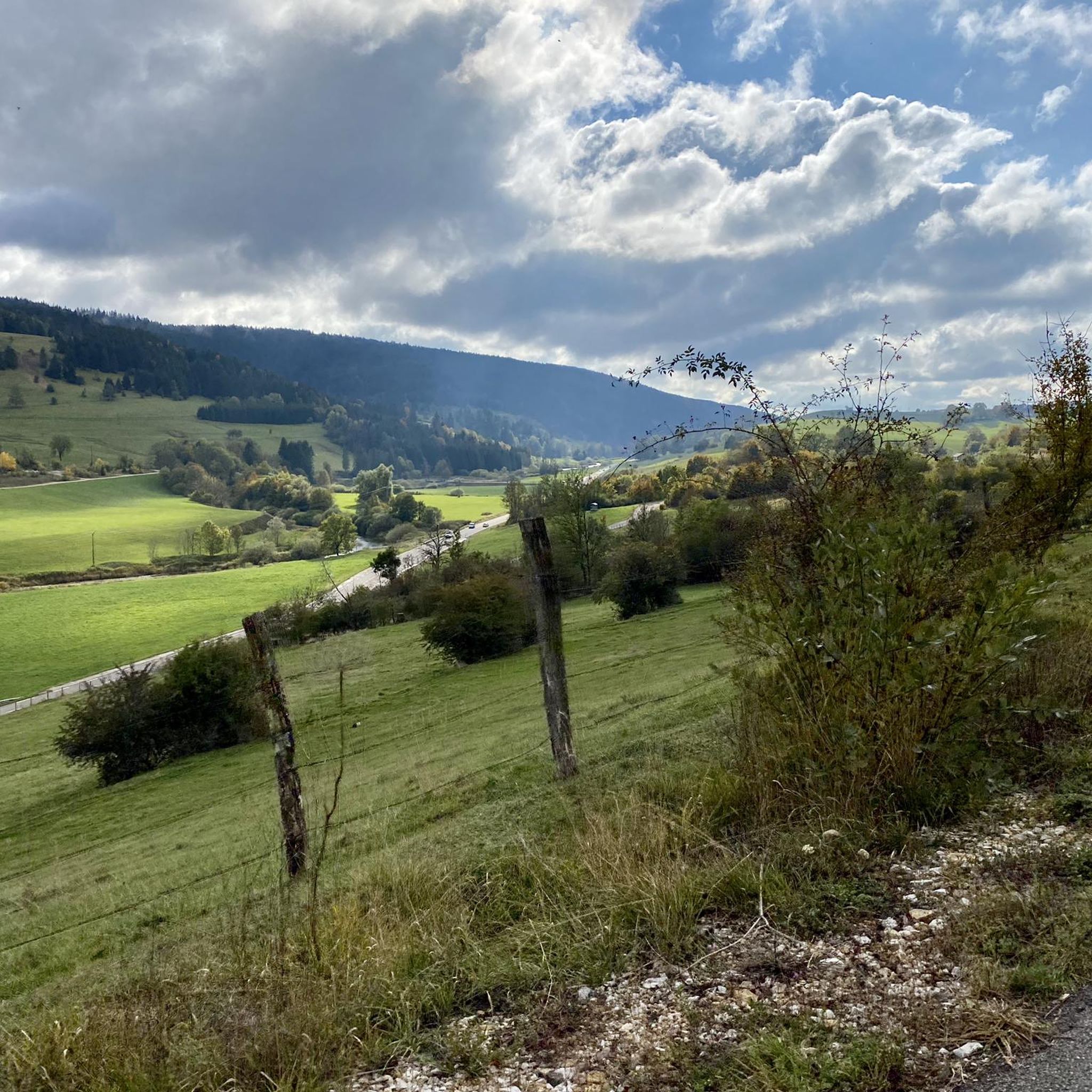
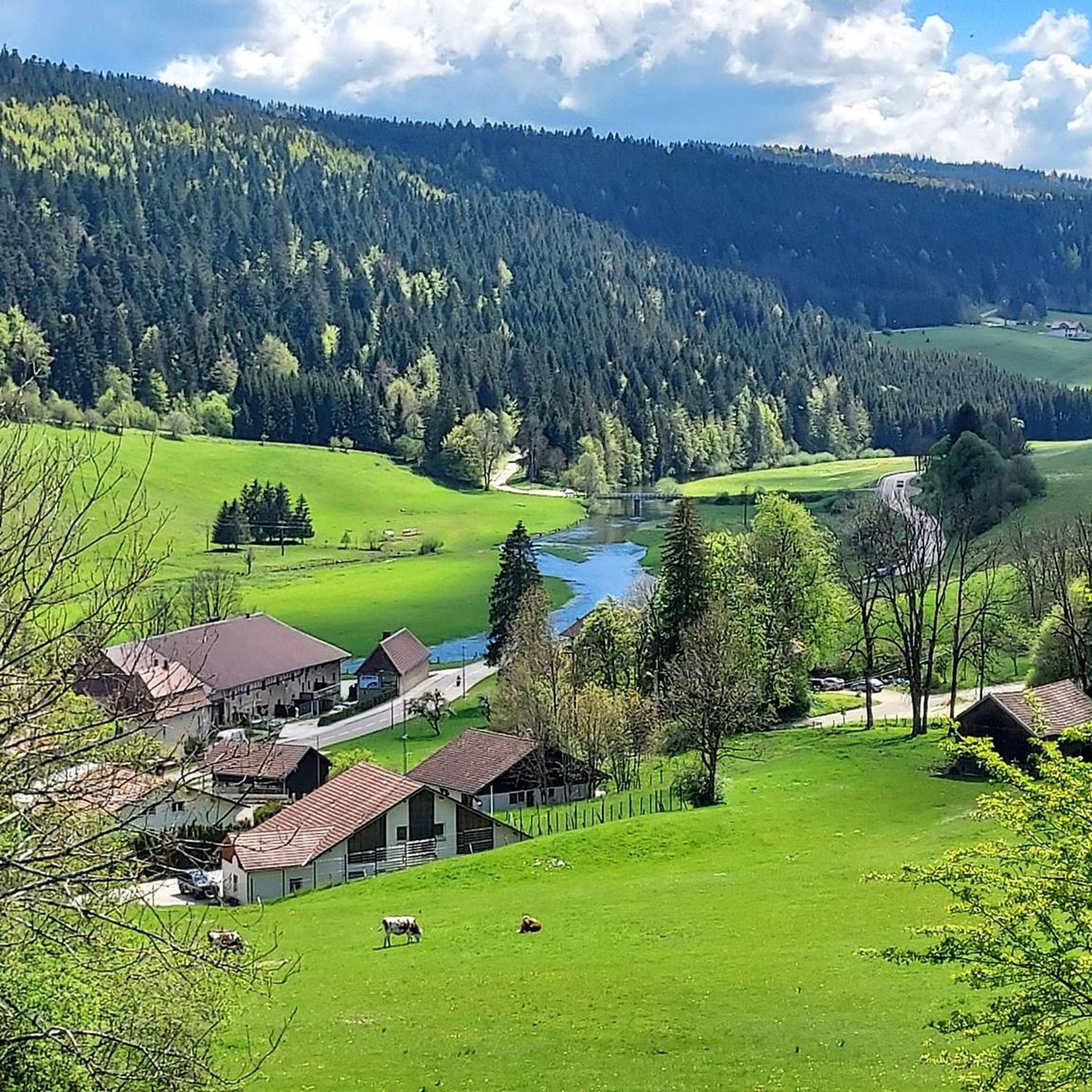
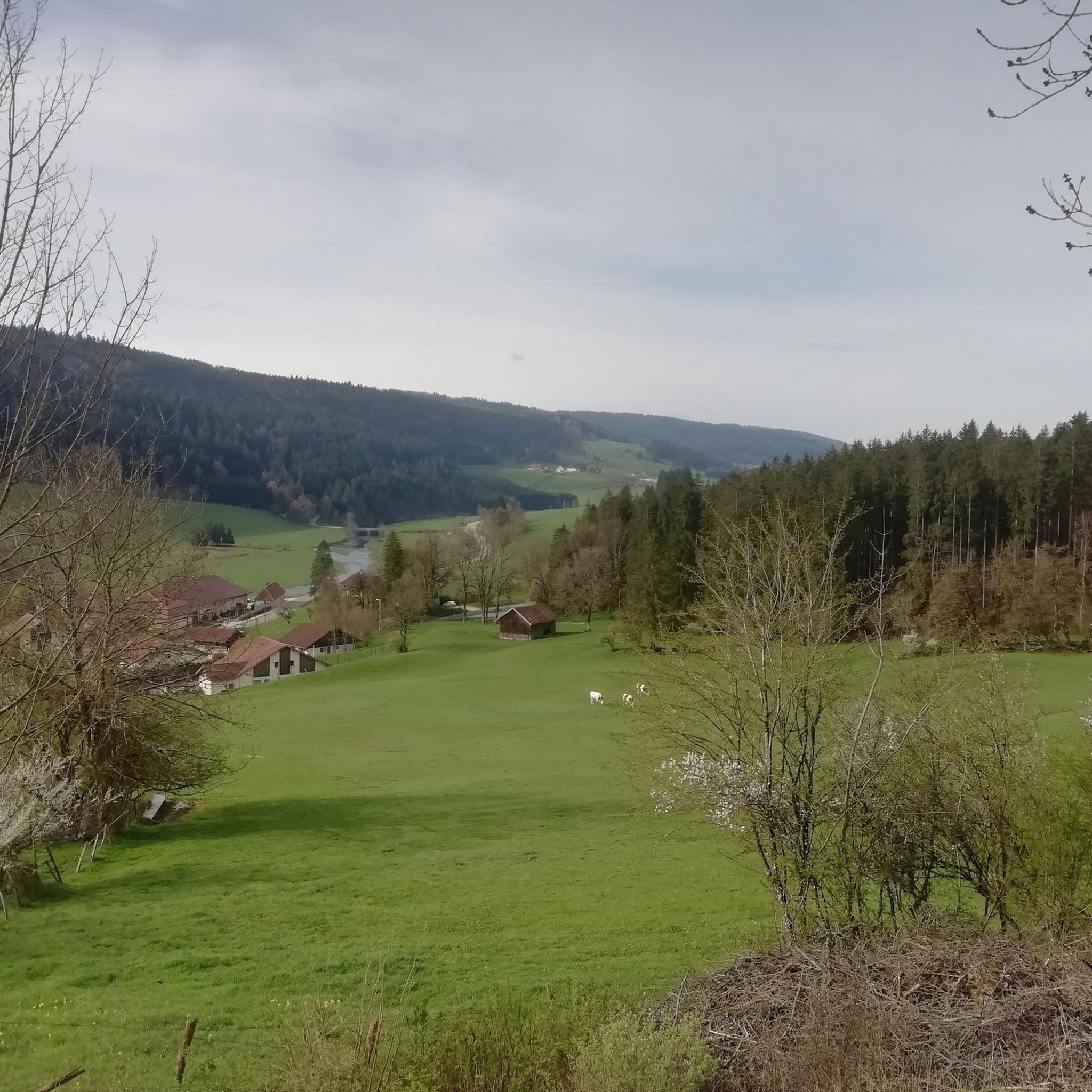
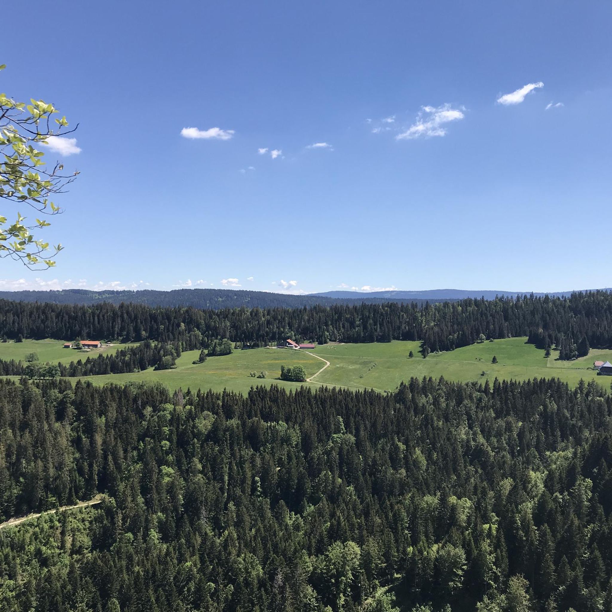
Mountain biking around Montbenoît, situated in the Doubs department of the Jura mountains, features diverse terrain for riders. The area's topography includes elevations from 762m to 1125m, offering a mix of climbs and descents. Landscapes are characterized by forests, pastures, and meadows, providing varied surfaces for mountain bike trails. This environment supports a range of cycling experiences, from moderate to difficult.
Best mountain bike trails around Montbenoît
- The most popular mountain bike trail is Singletrail on Mont Vouillot – Suchaux…
Last updated: October 10, 2026
4.5
(19)
89
riders
38.6km
03:17
730m
730m
Moderate mountain bike ride. Good fitness required. Advanced riding skills necessary.
5.0
(2)
21
riders
80.6km
07:00
1,710m
1,710m
Hard mountain bike ride. Very good fitness required. Advanced riding skills necessary.

4
riders
42.8km
03:48
1,020m
1,020m
Hard mountain bike ride. Very good fitness required. Advanced riding skills necessary.
5.0
(2)
8
riders
19.8km
01:45
390m
390m
Moderate mountain bike ride. Good fitness required. Suitable for all skill levels.
4.0
(4)
13
riders
31.3km
02:34
490m
480m
Moderate mountain bike ride. Good fitness required. Advanced riding skills necessary.
Get access to more routes and recommendations from other explorers.
Already have an account?
Our route recommendations are based on thousands of hikes, rides, and runs completed by other people on komoot.
Start today with a free account
Your next adventure awaits.

Tips from the Community

a beautiful, breathtaking landscape. We were completely enchanted! Simply beautiful to ride.
0
0

Built between 1845 and 1851 in the commune of La-Cluse-et-Mijoux, at an altitude of 1032 m, with the mission of protecting Fort de Joux and defending the Pontarlier passage.
0
0

This path along the edge of fields and the forest leading to Cornabey is very pleasant. You cross a small bridge to span the stream.
0
0

Typo? Needs to be corrected... right?
0
0


"Discover a mountain bike adventure through the picturesque heights of La Cluse and Mijoux, with an unmissable stop at Fort Malher. Enjoy breathtaking views of La Cluse, Mijoux and the Doubs, as well as the majestic Château de Joux. To learn more about this historic site, consult the Wikipedia article dedicated to Fort Malher du Larmont lower." https://fr.wikipedia.org/wiki/Fort_Malher_du_Larmont_inf%C3%A9rieur
0
0


Col sur le Mont from Grand'Combe-Châteleu is a climb located in the Doubs region. This climb is 3.9 kilometers long, for an elevation gain of 203 meters. Col sur le Mont from Grand'Combe-Châteleu has an average slope of 5.2%. The highest point is 962 meters above sea level. The road is paved, but it's not the newest, so be careful, there might be potholes.
0
0
Frequently Asked Questions
How many mountain bike trails are available in Montbenoît?
There are over 35 mountain bike trails around Montbenoît, offering a range of experiences for different skill levels. You'll find a good mix of easy, moderate, and difficult routes.
What kind of terrain can I expect on mountain bike trails in Montbenoît?
The trails in Montbenoît, nestled within the Jura mountains, feature diverse terrain. You can expect elevations ranging from 762m to 1125m, leading to a mix of climbs and descents. The landscape includes forests, pastures, and meadows, with both paved and unpaved segments, providing varied surfaces for mountain biking.
Are there mountain bike trails suitable for beginners or families in Montbenoît?
Yes, Montbenoît offers several options for less experienced riders and families. There are 7 easy mountain bike routes that are generally suitable for all fitness levels, often featuring mostly paved surfaces. These routes provide a gentle introduction to the region's scenic beauty.
What do other mountain bikers enjoy most about the trails in Montbenoît?
The mountain bike trails around Montbenoît are highly rated by the komoot community, with an average score of 4.6 stars from over 80 reviews. Riders often praise the varied topography, the extensive forests, and the options available for different ability levels, from moderate to difficult. Over 600 mountain bikers have used komoot to explore the area's diverse terrain.
Are there any circular mountain bike routes in Montbenoît?
Yes, many of the mountain bike routes in Montbenoît are designed as loops. For example, the Singletrail on Mont Vouillot – Suchaux Wood loop from La Colombière is a popular moderate circular route, and the Mountainbike loop from La Chaux also offers a varied circular experience.
What are some notable landmarks or attractions I can see while mountain biking in Montbenoît?
While mountain biking in Montbenoît, you can encounter several interesting sights. The historic Montbenoît Abbey, dating from the 12th to 16th centuries, is a significant cultural landmark. You might also pass by natural features like Col sur le Mont or the Glacière de Monlési Ice Cave. The region's charming villages, forests, and the Doubs valley itself offer picturesque views.
Is Montbenoît suitable for mountain biking with dogs?
Many trails in natural areas like Montbenoît are generally dog-friendly, especially if your dog is well-behaved and accustomed to long rides. However, it's always recommended to keep dogs on a leash, especially in forested areas or near livestock, and to check local regulations for specific trails. Ensure you carry enough water for both yourself and your dog.
What is the best time of year for mountain biking in Montbenoît?
The best time for mountain biking in Montbenoît is typically from spring through autumn, when the weather is milder and trails are dry. The Jura mountains can experience snow in winter, making some trails inaccessible or requiring specialized equipment. Always check local weather conditions before heading out.
Are there any challenging mountain bike routes for experienced riders?
Absolutely. For experienced riders seeking a challenge, Montbenoît offers several difficult routes. An example is the La Cluse-et-Mijoux – View of the Château de Joux loop from Le Brouillet, bif. les Jordan, which is a demanding 80.6 km path featuring extensive climbs and panoramic views. Another challenging option is the Col sur le Mont – Morteau loop from Bémont NE, sur-le-Pont.
Where can I find parking for mountain biking in Montbenoît?
Parking availability varies depending on the specific trailhead. Many villages and popular starting points for trails in the Montbenoît area offer designated parking spaces. It's advisable to check the route details on komoot for specific parking information related to your chosen trail, as some routes may start from smaller hamlets with limited facilities.
Are there cafes or accommodation options near the mountain bike trails in Montbenoît?
Montbenoît and the surrounding villages in the Doubs valley offer various local amenities. You can find cafes, restaurants, and accommodation options ranging from guesthouses to hotels. These establishments often cater to outdoor enthusiasts, providing convenient spots to refuel or stay overnight after a ride. Look for options in Montbenoît itself or nearby towns like Morteau.
Most popular routes around Montbenoît
Most popular attractions around Montbenoît

Get inspired with the komoot mobile app


Explore more
Browse the best MTB trails in other regions.
