The best MTB trails around Cenves
4.2
(253)
1,248
riders
173
rides
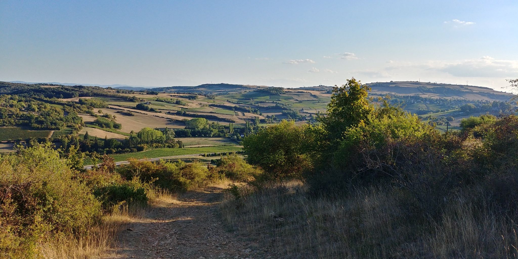
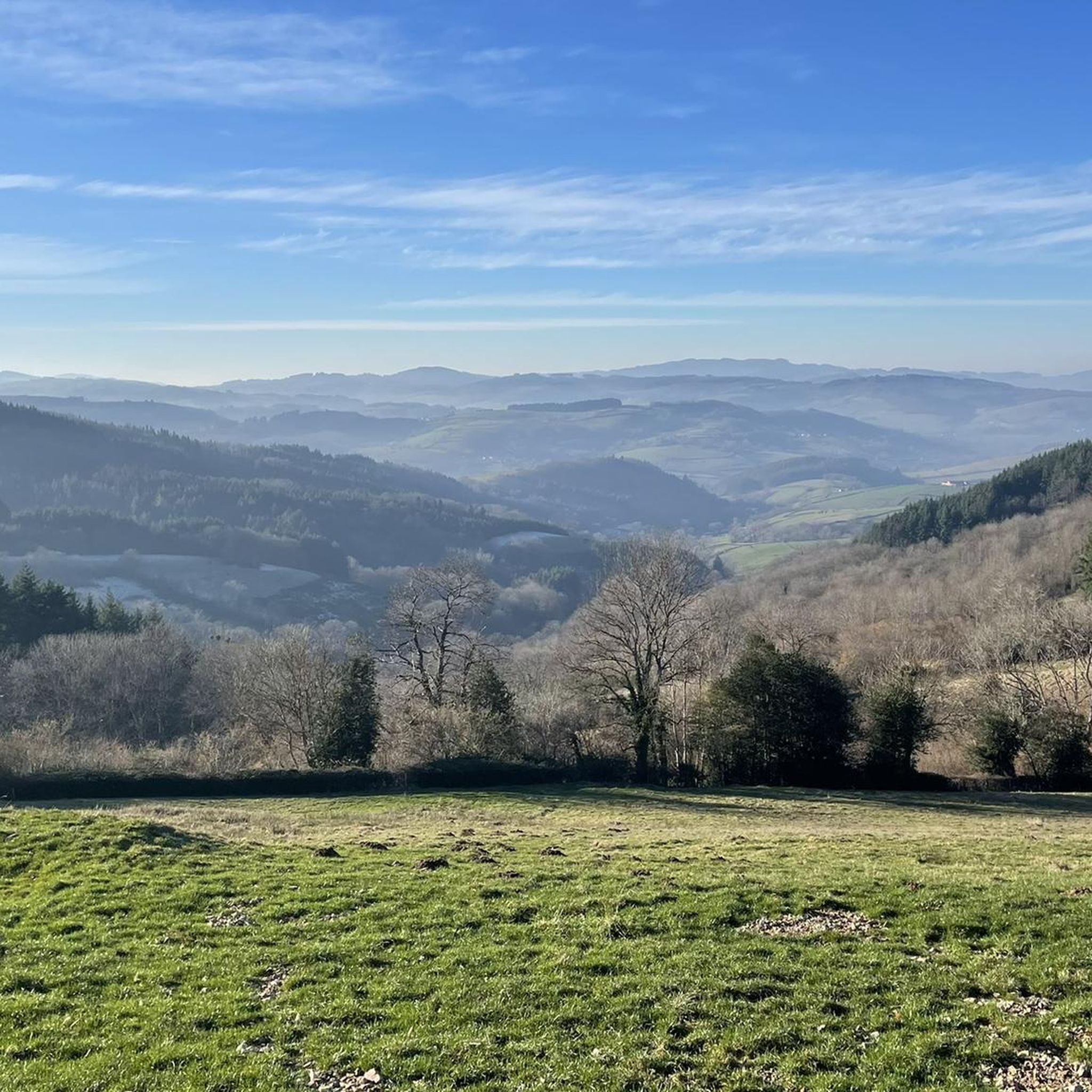
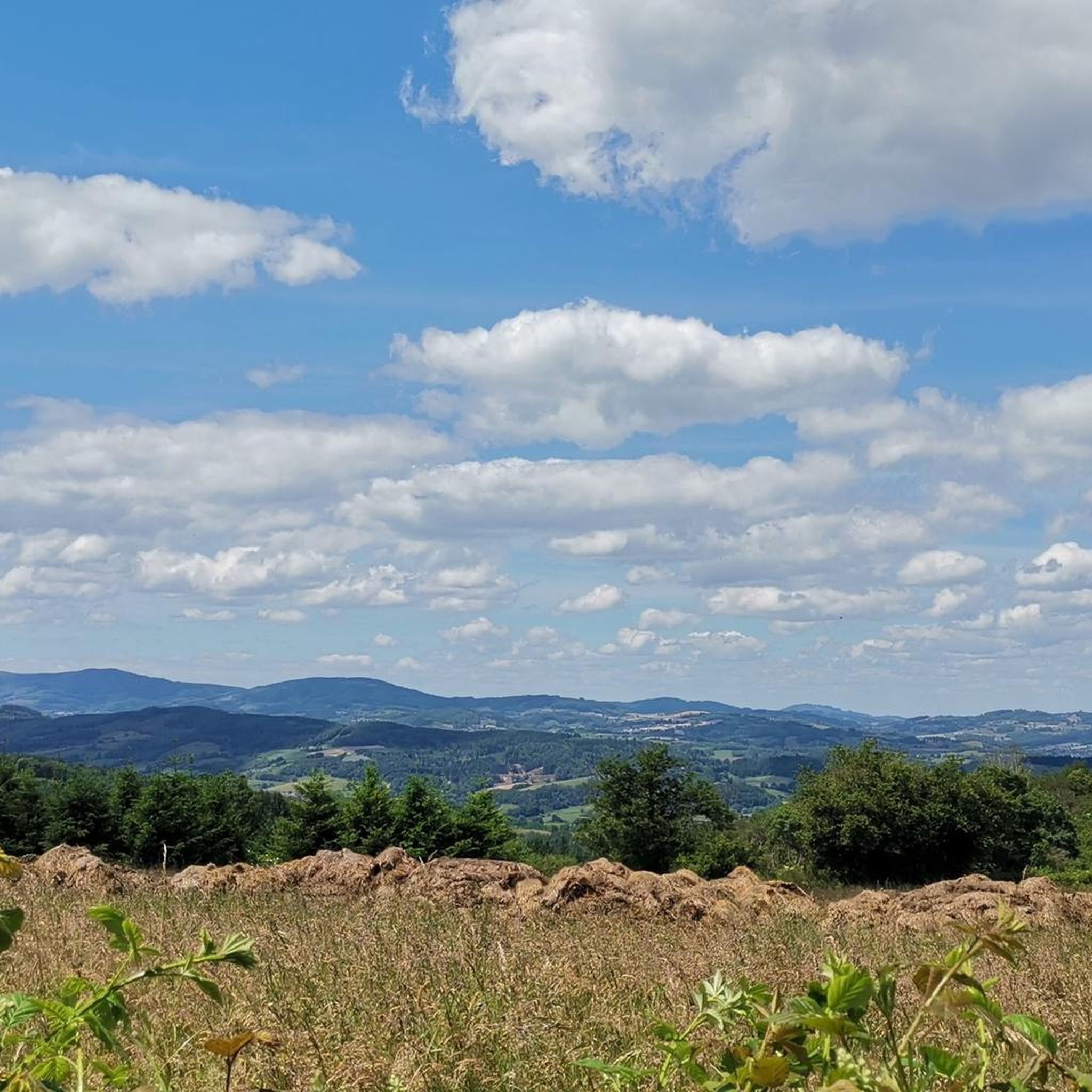
Mountain bike trails around Cenves are situated in the Haut Beaujolais region, characterized by a medium mountain landscape with expansive pastures and dense forests. The area features diverse terrain, including valleys carved by rivers and numerous mountain passes. Riders can expect a mix of ascents and descents through cultivated areas and natural features, with panoramic viewpoints offering vistas of the Grosne valley and the Charollais region. On clear days, the distant peaks of the Alps and the Roches de Solutré…
Last updated: August 7, 2026
1.0
(1)
17
riders
22.2km
02:27
710m
710m
Moderate mountain bike ride. Good fitness required. Suitable for all skill levels.
3.0
(1)
5
riders
28.5km
03:04
900m
900m
Hard mountain bike ride. Very good fitness required. Suitable for all skill levels.

Sign up for free
4.7
(3)
14
riders
22.8km
02:08
510m
510m
Moderate mountain bike ride. Good fitness required. Suitable for all skill levels.
4.5
(2)
3
riders
19.5km
02:08
610m
620m
Moderate mountain bike ride. Good fitness required. Suitable for all skill levels.
5.0
(1)
5
riders
Moderate mountain bike ride. Good fitness required. Suitable for all skill levels.
Get access to more routes and recommendations from other explorers.
Sign up for free
Already have an account?
Our route recommendations are based on thousands of hikes, rides, and runs completed by other people on komoot.
Start today with a free account
Your next adventure awaits.
Login or Signup

Other adventures around Cenves

Tips from the Community

The Rock of Solutré is a world-famous, 493-meter-high limestone rock in the south of the Burgundy region. It is located amidst the picturesque vineyards of the municipality of Solutré-Pouilly. The region is officially designated as a Grand Site de France. The hike to the summit is easy to moderate and very doable for families. It takes about 1 hour for the entire loop (approx. 4 kilometers round trip). The elevation gain is around 100 to 140 meters from the official parking lot on well-maintained paths with information panels, although there are many steps.
1
0
Although the pass is located in France and is not extremely high, its name translates to "Siberia Pass". The name goes back to the often very cold, snow-rich winds and the harsh weather conditions in winter.
1
0
The Col de Gerbet (612 m) is an idyllic mountain pass in the French wine-growing region of Beaujolais. Depending on the starting point, various roads with little traffic lead up to the pass via the D137. From Juliénas (south-east approach): This route is 7.3 kilometers long. It overcomes 342 meters of altitude with a steady, moderate gradient of 4.7% on average. The road winds through shady forest sections. From La Croix Blanche (west approach): A tougher variant 4.5 kilometers long. Here you conquer 270 meters of altitude with an average gradient of 6% and ramps of up to 11%.
1
0


beautiful view of the rocks, not too many cars
0
0

The trees do stop at the top to give a view
0
0

Breathtaking view of the 2 rocks 🤩
0
0

The summit of Mont Pouilly!
0
0
Frequently Asked Questions
How many mountain bike trails are available around Cenves?
There are over 170 mountain bike trails around Cenves, offering a diverse range of options for riders. The komoot community has explored more than 1200 of these routes, providing valuable insights and ratings.
What kind of terrain can I expect on mountain bike trails in Cenves?
The terrain around Cenves is characterized by a 'medium mountain' landscape, situated at the crossroads of southern Burgundy and northern Rhône-Alpes Auvergne. You can expect a mix of ascents and descents through cultivated areas, including the renowned Beaujolais vineyards, and natural features. Many trails offer magnificent panoramic views.
What do other mountain bikers enjoy most about the trails in Cenves?
The mountain bike trails in Cenves are highly rated by the komoot community, with an average score of 4.3 stars from over 200 reviews. Riders frequently praise the 'magnificent views' from points like Signal de la Mère Boitier and Point de vue sur les deux Roches, as well as enjoyable singletrack sections and the diverse landscape that includes vineyards.
Are there mountain bike trails suitable for beginners in Cenves?
Yes, Cenves offers trails suitable for various skill levels. While many routes are moderate to challenging, there are 14 easy mountain bike tours available, perfect for those new to the sport or looking for a more relaxed ride.
Are there challenging mountain bike routes for experienced riders?
Absolutely. For experienced riders seeking a challenge, there are 38 difficult mountain bike routes around Cenves. An example is the Siberia Pass (638 m) – Access to Tête du Pis loop from Les Fougères, a demanding 17.7-mile (28.5 km) path that includes a significant descent and offers magnificent views.
Can I find circular mountain bike routes in Cenves?
Yes, the majority of mountain bike routes in Cenves are designed as circular loops, allowing you to start and finish at the same point. This makes planning your ride convenient and ensures you experience a variety of landscapes without retracing your steps.
What natural landmarks or viewpoints can I see while mountain biking in Cenves?
Many trails offer stunning views. You can encounter significant natural monuments like the Roche de Solutré, which provides spectacular panoramic views across the Mâconnais vineyards. Other notable viewpoints include Rémont Mountain and Rochefort Cross, offering extensive vistas of the Beaujolais mountains, Monts d'Or, and even the Alps on clear days.
Do any mountain bike trails pass through the famous Beaujolais vineyards?
Yes, the region around Cenves is known for its extensive Beaujolais vineyards, and many mountain bike trails traverse this beautiful cultivated landscape. For instance, the Mount Pouilly – View of La Roche de Solutré loop from Leynes leads directly through the Beaujolais wine region, offering a unique riding experience.
Are there any historical sites or cultural attractions accessible by mountain bike?
While primarily known for its natural beauty, the region does have historical points of interest. You might pass by settlements like Tramayes or even catch glimpses of castles such as the Medieval fortress of Berzé-le-Châtel, adding a cultural dimension to your ride.
Is it possible to reach mountain bike trails in Cenves using public transport?
While Cenves is a small town, public transport options to specific trailheads might be limited. It's advisable to check local bus schedules or consider driving to a central starting point, as many routes are accessible by car.
Where can I find parking for mountain bike trails in Cenves?
Parking availability varies by trailhead. Many villages and towns in the region, such as Solutré-Pouilly or Leynes, offer public parking areas that can serve as convenient starting points for mountain bike routes. Always look for designated parking to ensure you're not obstructing local access.
Are there any long-distance mountain bike routes in the Cenves area?
Yes, for those looking for longer rides, there are options like the Lake Saint-Point – Tramayes loop from Tramayes. This difficult route spans nearly 50 km (31 miles) and offers an extensive exploration of the regional landscape.
Most popular attractions around Cenves

Get inspired with the komoot mobile app


Explore more
Browse the best MTB trails in other regions.
