The best cycling routes around Fremifontaine
4.2
(106)
792
riders
78
rides
Touring cycling around Fremifontaine is characterized by its location in the western foothills of the Vosges mountains, providing a diverse landscape. Elevations range from 329 to 470 meters, creating routes with both moderate and challenging sections. The area features numerous forests, including communal and private woodlands of conifers and hardwoods, which offer shaded paths. River valleys, such as those of the Mortagne River and its tributaries like Xeuty and Corbeuse, also define the region's topography.
Best touring cycling routes around…
Last updated: October 8, 2026
4.5
(2)
10
riders
27.3km
02:03
420m
420m
Cycle a moderate 16.9 miles (27.3 km) route through the Vosges, gaining 1368 feet (417 metres) with lake views and forest climbs.
4.5
(4)
68
riders
77.5km
05:04
980m
980m
Hard bike ride. Very good fitness required. Mostly paved surfaces. Suitable for all skill levels.

3.0
(1)
34
riders
48.1km
03:14
670m
670m
Hard bike ride. Very good fitness required. Mostly paved surfaces. Suitable for all skill levels.
23
riders
44.7km
04:22
1,030m
1,030m
Hard bike ride. Very good fitness required. Mostly paved surfaces. Suitable for all skill levels.
13
riders
140km
09:53
2,650m
2,650m
Hard bike ride. Very good fitness required. Mostly paved surfaces. Suitable for all skill levels.
Get access to more routes and recommendations from other explorers.
Already have an account?
Our route recommendations are based on thousands of hikes, rides, and runs completed by other people on komoot.
Start today with a free account
Your next adventure awaits.
Tips from the Community

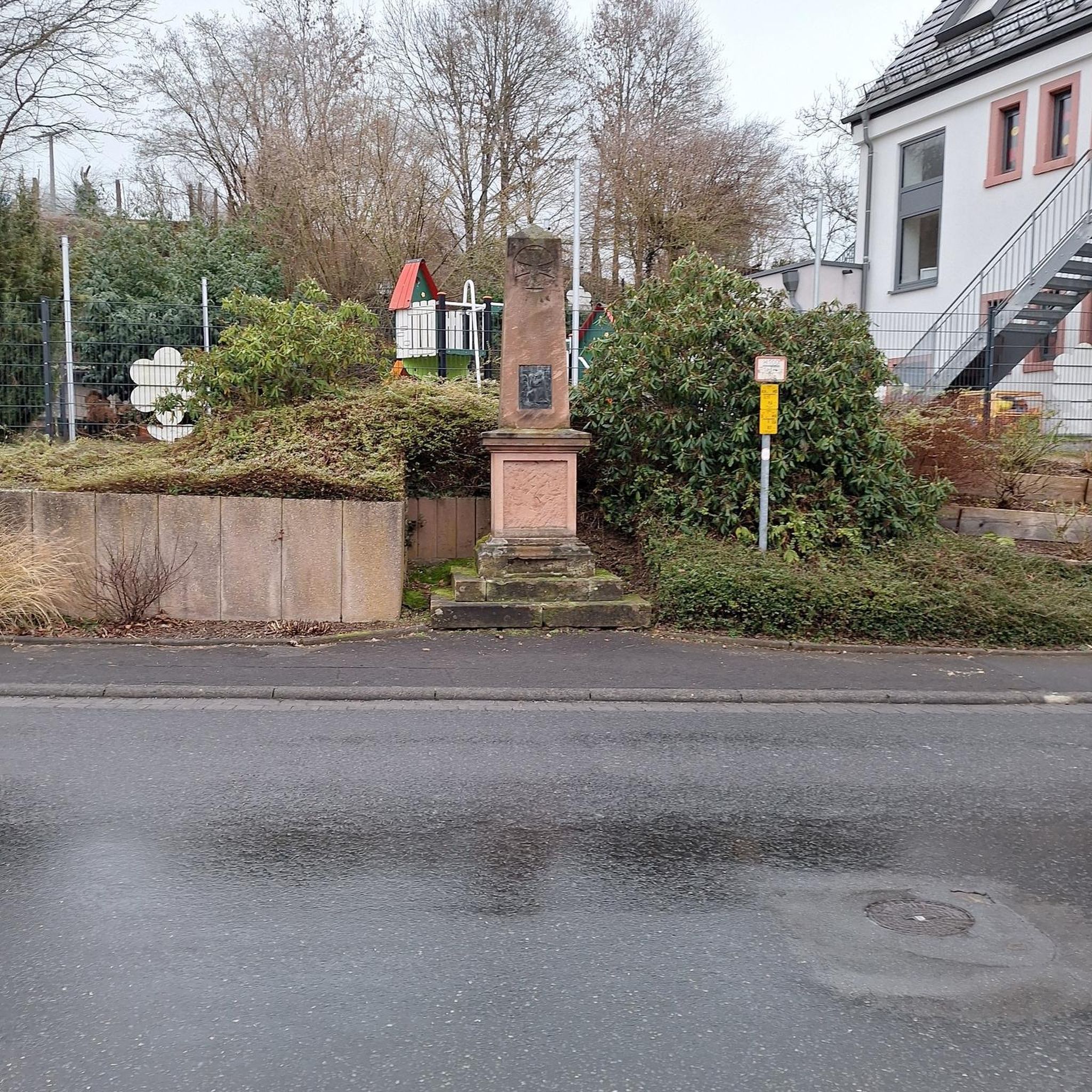
Chapel directly on the lake on a small hill
0
0

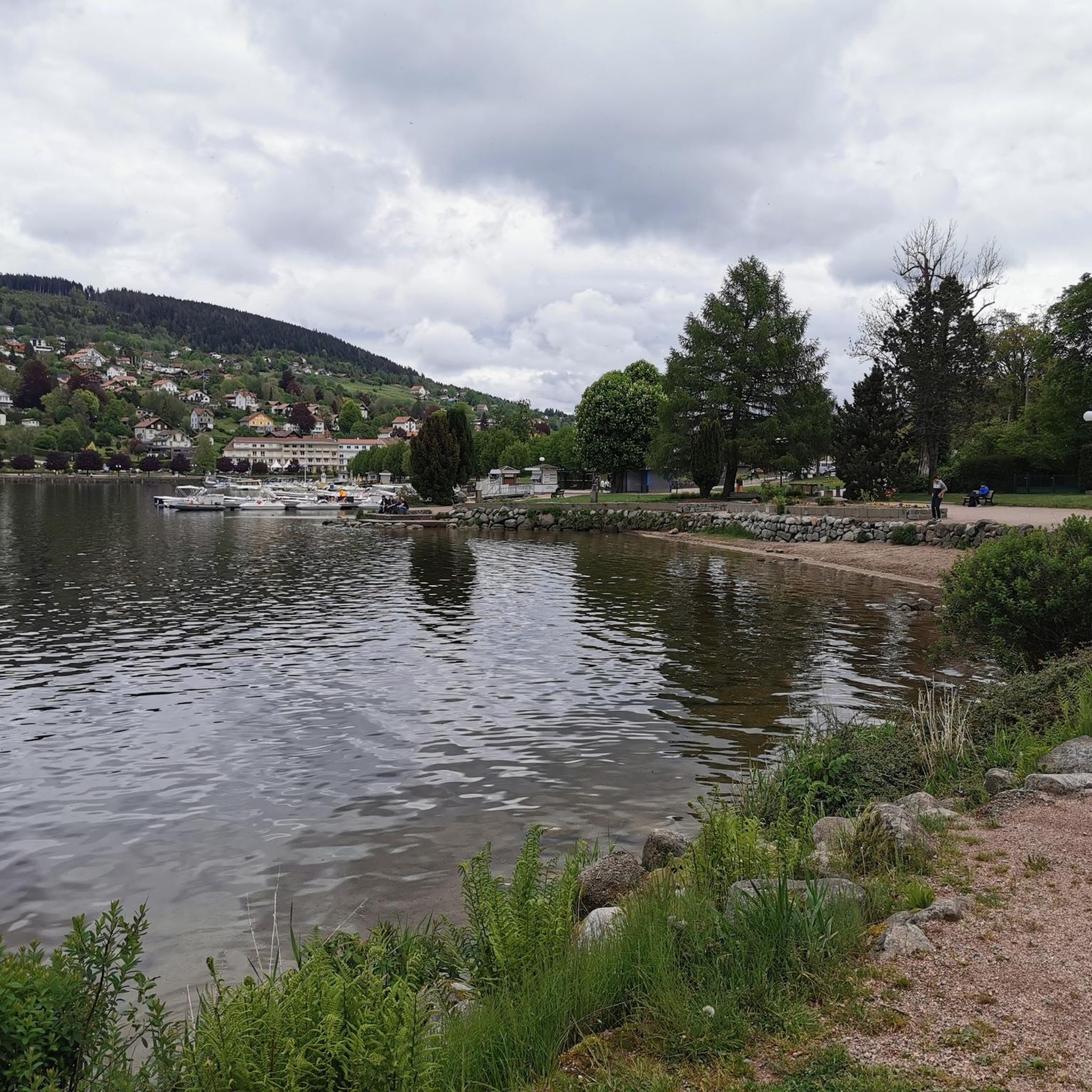
Here at the quay, there's a beautiful view the length of the lake, several boat rentals, a small free swimming area at the southern end, and a short promenade at the northern end that leads to the lido. Of course, you'll also find restaurants with lake views here.
1
0

We first hiked the route along the upper slope, bringing some food and water. It was a beautiful walk, and on the way back, we made a nice stop in the village. Be sure to check the restaurant opening hours.
0
0

The Col du Wettstein (880 m) is a historic mountain pass in the Vosges Mountains, located between Orbey and Soultzeren, and is a gateway to some of the most beautiful hiking and cycling routes in the Ballons des Vosges Regional Nature Park. The climb from Soultzeren is 6.8 km long with an average gradient of 5.5%, and offers a peaceful, green setting with beautiful views over the valley. At the summit you will find the Wettstein French Military Cemetery, an impressive memorial to those who fell in the First World War.
7
0

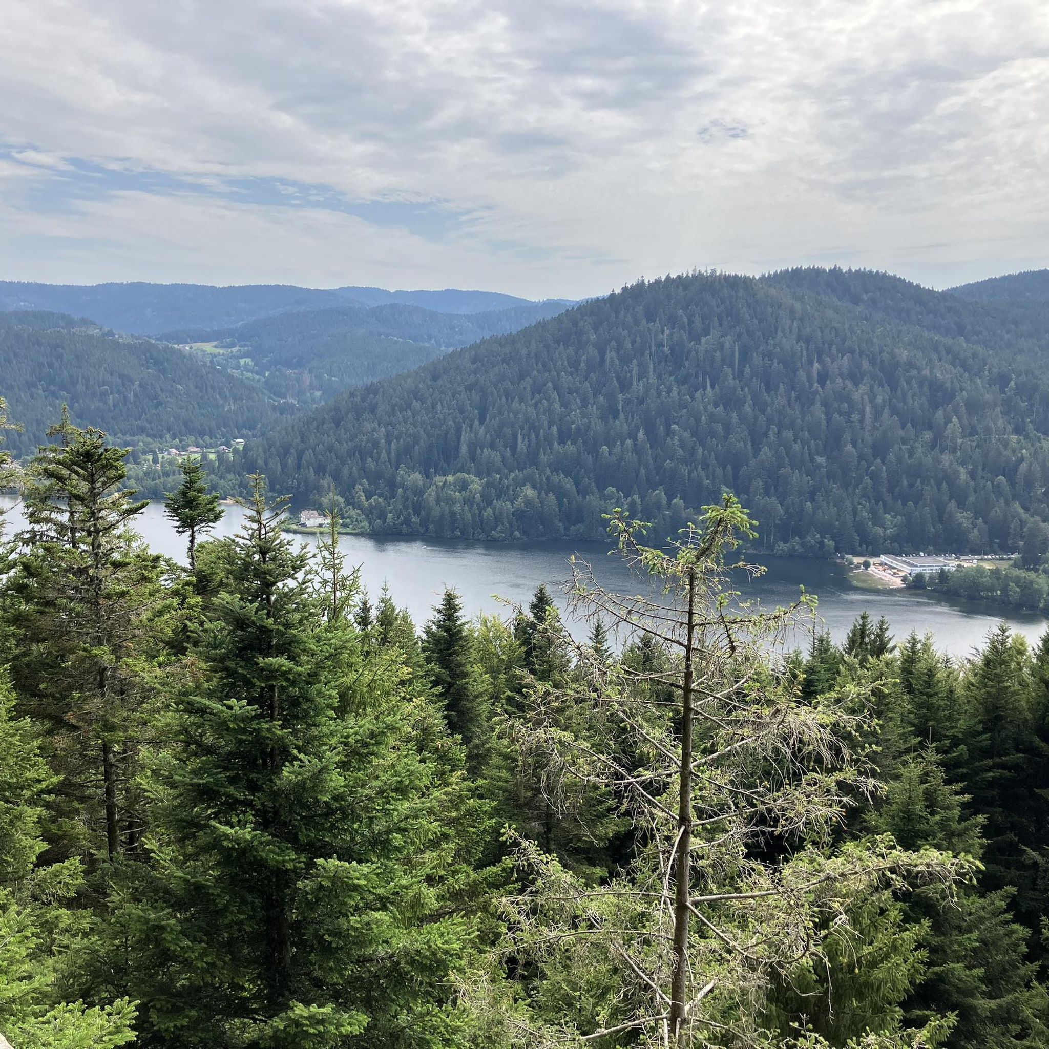
This is the largest natural lake in the Vosges Mountains. The setting is simply splendid. You can enjoy a wide range of water activities here. Swimming is only permitted in supervised areas. A hiking trail has been developed to encircle the lake.
3
0

When you take the time to get off the road, the view is worth a photo. The road is quite busy, mind you.
0
0

Vosges pass offering some very beautiful viewpoints from the top. Some nice loops to do by bike from the town of ORBEY.
2
0

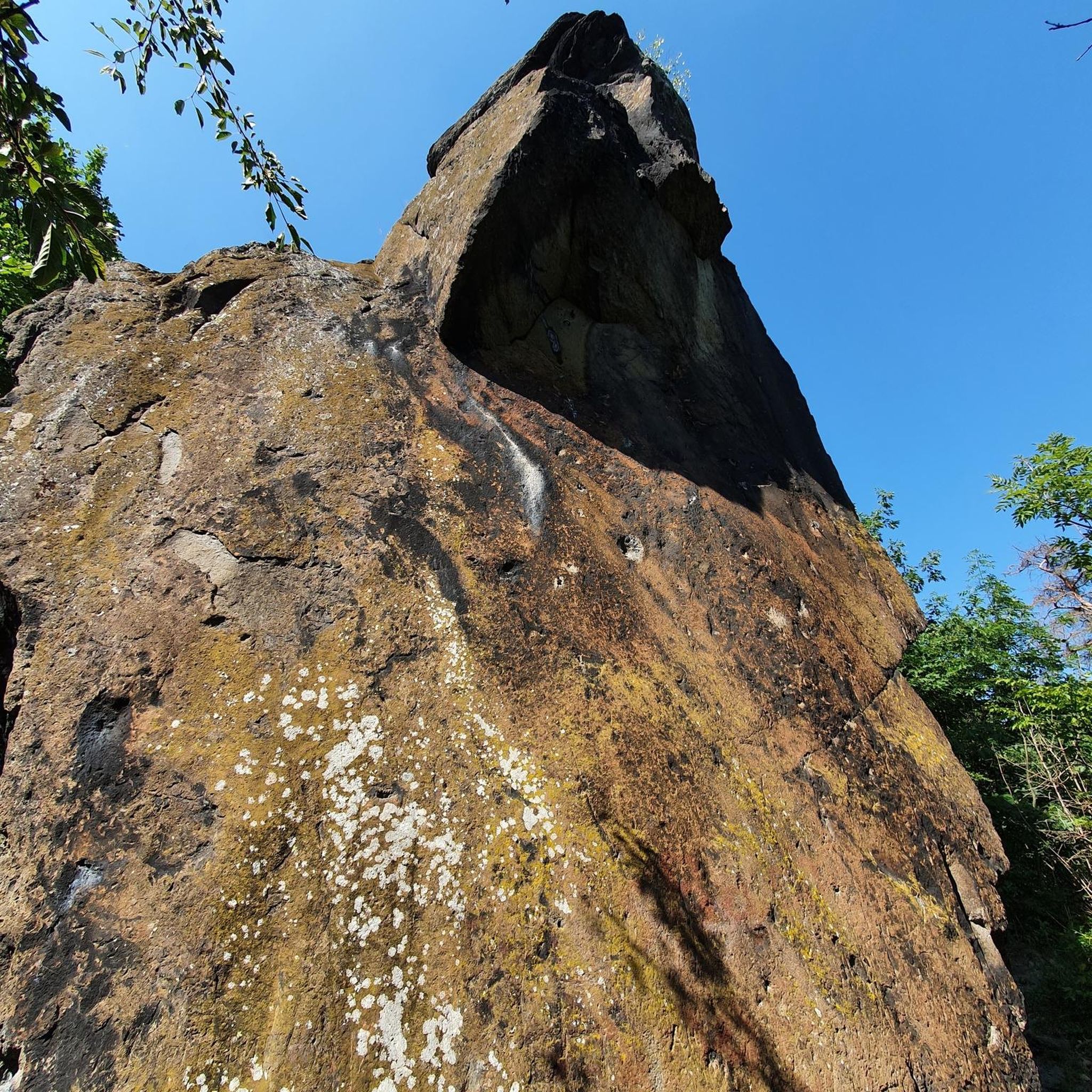
Spectacular passage through the Roche du Diable on a wonderful descent on great surface to Lac de Longemer.
0
0
Frequently Asked Questions
How many touring cycling routes are available around Fremifontaine?
There are 77 touring cycling routes around Fremifontaine, offering a wide range of options for different skill levels and preferences.
What kind of terrain can I expect on touring cycling routes in Fremifontaine?
Fremifontaine is nestled in the western foothills of the Vosges mountains, so you can expect diverse terrain. Elevations range from 329 to 470 meters, providing both moderate and challenging sections. Routes often pass through dense forests of conifers and hardwoods, offering shaded paths, and follow picturesque river valleys like the Mortagne River and its tributaries.
Are there any easy touring cycling routes suitable for beginners in Fremifontaine?
Yes, Fremifontaine offers 25 easy touring cycling routes. These are perfect for beginners or those looking for a more relaxed ride through the scenic landscapes of the Vosges foothills.
What are some of the most scenic viewpoints or landmarks to look out for on a touring bike ride?
The region offers several scenic spots. You might enjoy the Forest road between Brouvelieures and Autrey, which follows the Mortagne river through dense forest, or the Forest Route from Taintrux to Les Rouges-Eaux. For impressive natural features, consider visiting the Pointhaie Rocks. Additionally, some routes, like the Beautiful view – Superb view of Les Poulieres loop from Bruyères, are specifically known for their panoramic vistas.
Are there any family-friendly touring cycling routes in the area?
While specific 'family-friendly' designations aren't always explicit, the 25 easy routes available are generally well-suited for families. These routes typically feature less challenging terrain and can be enjoyed at a leisurely pace through the forests and river valleys.
What do other touring cyclists say about the routes in Fremifontaine?
The touring cycling routes around Fremifontaine are highly regarded by the komoot community, with an average rating of 4.3 stars from over 65 reviews. Cyclists often praise the diverse landscape, the quiet forest paths, and the varied terrain that caters to different skill levels.
Can I find challenging touring cycling routes in Fremifontaine?
Absolutely. For experienced touring cyclists seeking a challenge, there are 17 difficult routes available. An example is the Liézey – Varinfête loop from Bruyères, which offers a demanding ride through varied terrain. Another challenging option is the extensive Wettstein Pass 880 m – White Lake loop from Bruyères.
Are there any circular touring cycling routes around Fremifontaine?
Yes, many of the touring cycling routes in Fremifontaine are designed as loops. For instance, the popular Vologne Valley Loop is a moderate circular route exploring the scenic Vologne Valley. Another option is the shorter Bike loop from Bruyères.
What is the best time of year for touring cycling in Fremifontaine?
The region's diverse forests and river valleys are beautiful throughout the warmer months. Spring and autumn offer pleasant temperatures and vibrant scenery, while summer provides lush green landscapes and shaded forest paths. Always check local weather conditions before heading out.
Are there any facilities like campsites or places to rest along the routes?
While specific cafes or pubs directly on every route are not detailed, the region does offer facilities. For example, the Camping Domaine de Messires is a notable facility in the area that could serve as a base or a resting point.
What are the typical distances for touring cycling routes in Fremifontaine?
Route distances vary significantly to accommodate all levels. You can find shorter loops, such as the Vologne Valley Loop at about 27 km, or more extensive journeys like the Wettstein Pass 880 m – White Lake loop from Bruyères, which spans over 140 km.
Most popular routes around Fremifontaine
Most popular attractions around Fremifontaine

Get inspired with the komoot mobile app


Explore more
Browse the best Cycling routes in other regions.
