The best cycling routes around Thourie
4.4
(66)
341
riders
47
rides
Touring cycling around Thourie offers routes through the rural landscapes of the Ille-et-Vilaine department in Brittany, France. The region is characterized by generally gentle topography, with elevations ranging from 34 to 97 meters, making it suitable for touring cyclists. The area features a mix of agricultural land, small villages, and historic sites, providing varied scenery. Greenways, often built on old railway lines, contribute to a network of quiet country roads and dedicated paths.
Best touring cycling routes around Thourie
- The…
Last updated: October 7, 2026
5.0
(3)
39
riders
32.8km
02:43
220m
220m
Moderate bike ride. Good fitness required. Mostly paved surfaces. Suitable for all skill levels.
4.5
(11)
31
riders
28.5km
01:43
150m
150m
Easy bike ride. Great for any fitness level. Mostly paved surfaces. Suitable for all skill levels.

4.0
(2)
15
riders
42.6km
03:08
490m
490m
Hard bike ride. Very good fitness required. You may need to push your bike for some segments of this route.
5.0
(4)
5
riders
52.2km
03:11
330m
330m
Moderate bike ride. Good fitness required. Mostly paved surfaces. Suitable for all skill levels.
6
riders
39.5km
02:59
290m
280m
Hard bike ride. Good fitness required. You may need to push your bike for some segments of this route.
Get access to more routes and recommendations from other explorers.
Already have an account?
Our route recommendations are based on thousands of hikes, rides, and runs completed by other people on komoot.
Start today with a free account
Your next adventure awaits.
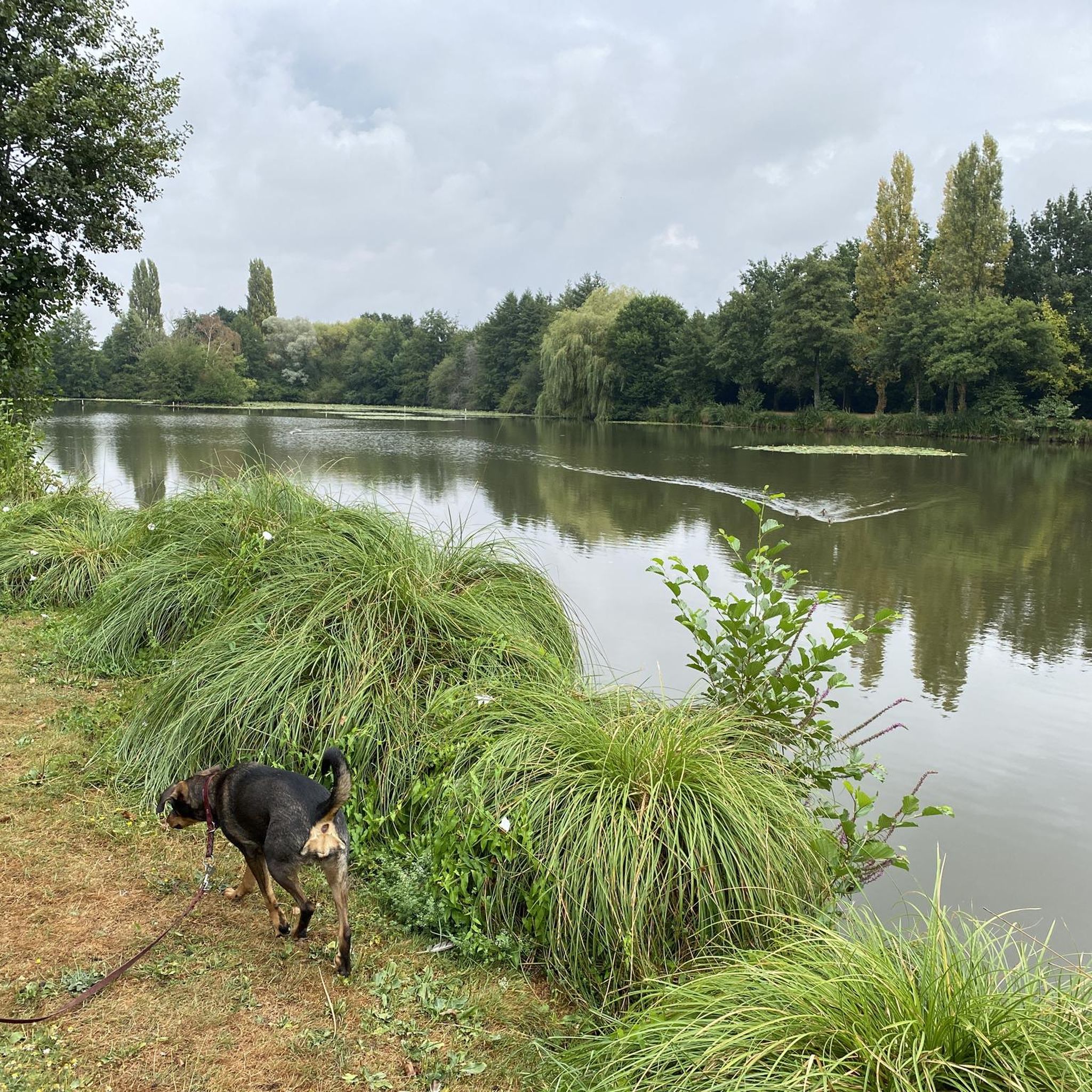
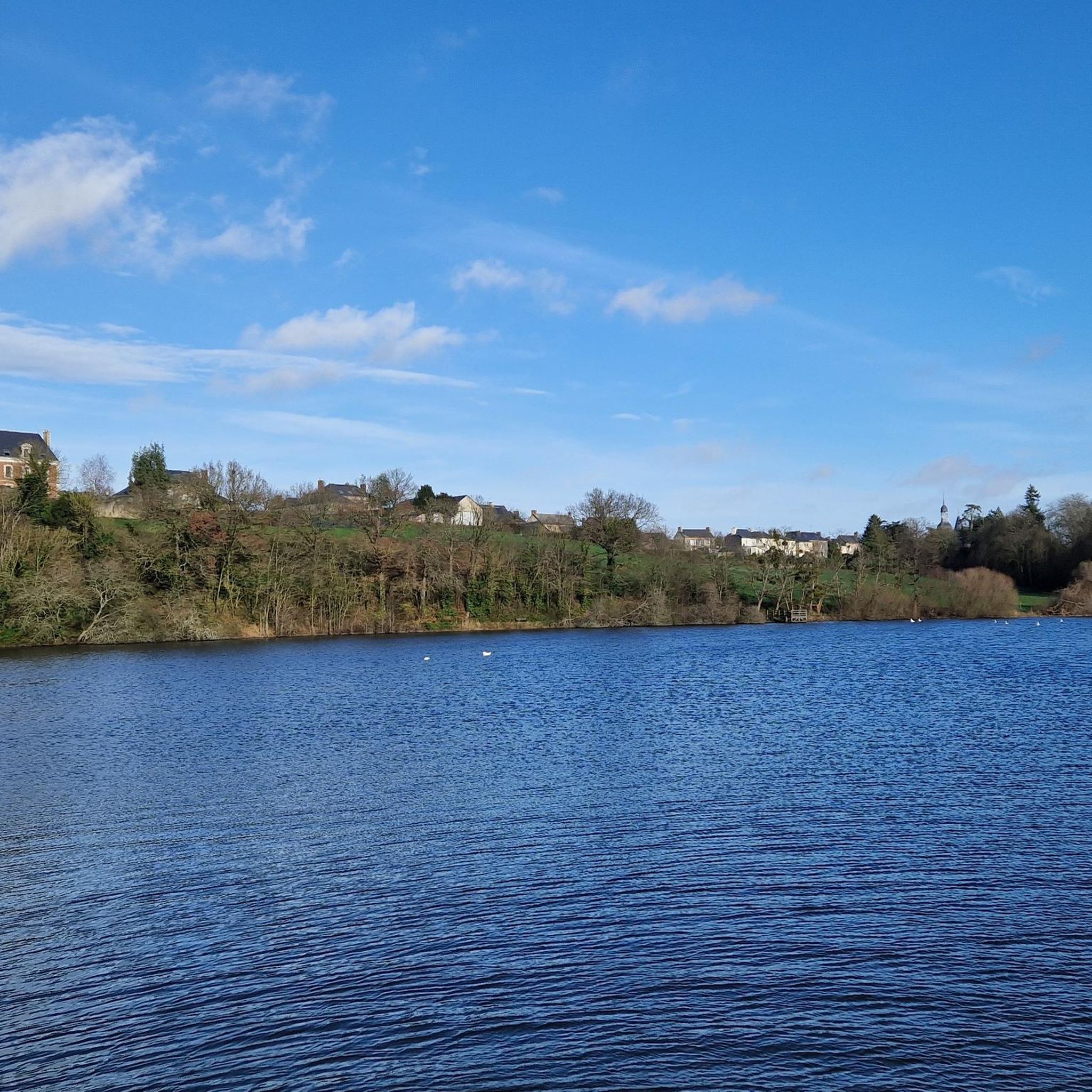
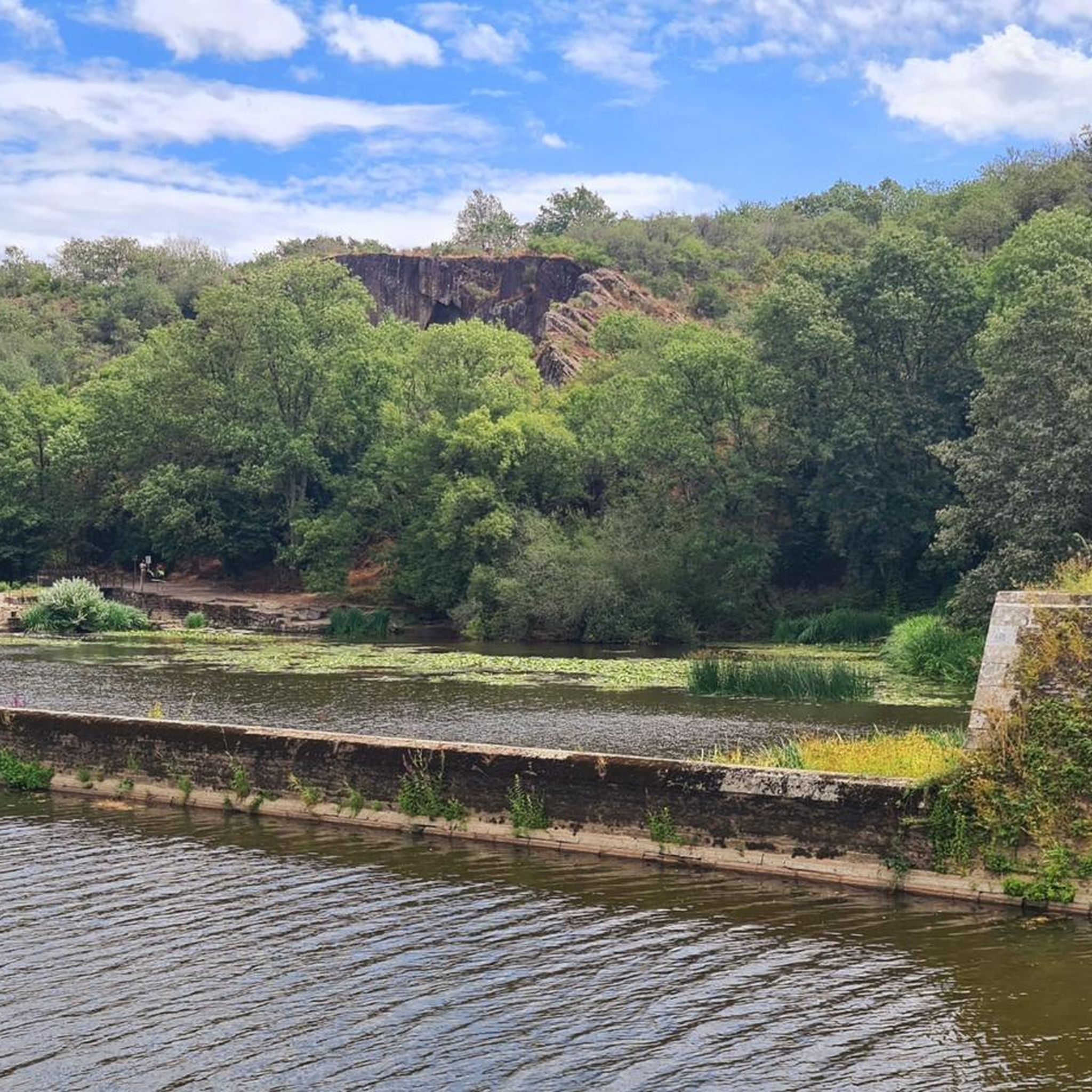


Tips from the Community

Rollable and tree-lined cycle path
0
0
Long greenway between Châteaubriant and Bain de Bretagne. Very smooth rolling.
0
0
I did not visit the museum but I enjoyed the path, which connects the Châteaubriant → Bain-de-Bretagne greenway a little further south.
0
0
Magnificent greenway, rolling and shaded. Less flat than I expected.
0
0

Hello, your Point of Interest • 10 km cycle path from Rougé to Châteaubriant (48°16'19.6"N 1°39'50.1"W) is not located correctly on the map. Here are the correct coordinates: 47°46'48.7"N 1°27'11.3"W. Sincerely
0
0

Located in Teillay, this museum traces the history of coal mining, which marked the region from the 19th to the 20th century. Located on a former mining site, it presents machinery and miners' testimonies.
0
0


nighttime. A medieval fortress and Renaissance building, Châteaubriant Castle recounts ten centuries of history. In the Middle Ages, Châteaubriant Castle was at the heart of the Marches of Brittany. It served as a stronghold defending the duchy against the Kingdom of France. The keep, ramparts, seigneurial chapel, and the medieval courtyard lodgings still bear witness to the power of this fortress. In the 16th century, the bailey became a residence opening onto the gardens. The castle gardens are open to the public from February to December. Visit maps are available at the reception-shop for a better understanding of the site. A 3D space allows you to discover, with free access, the architectural evolution of the castle, from the 11th century to the present day. From February to December, heritage mediators will accompany you on an in-depth tour of the castle, its keep, and its gardens. During school holidays, family workshops allow parents and children to develop their creativity or spark their curiosity! Opening days: Gardens are open to the public, Wednesday to Sunday: 9am-6pm (February-March and October-December) or 9am-7:30pm (April-September). Prices: - Free entry for those over €0.00 (Free access to the château gardens) - Individual adult rate from €3.00 to €6.00 (Guided tours, free for those on minimum income and special cards) - Individual child rate from €0.00 (Guided tours free for those under 26) - Individual child rate from €0.00 (Guided tours free for those under 26) Child from €4.00 to €8.00 (Family activity) - Adult group rate from €5.00 (From 15 people) Payment methods: Credit cards - Bank and postal checks - Cash Tours Self-guided tours (individual): Yes Guided tours (individual): Yes Average visit duration (individual): 1 hour Self-guided tours (groups): Yes Guided tours on request (groups): Yes Guided tours (groups): Yes Average visit duration (groups): 1 hour Languages: Tour: French, English - Signs: French, English Services: Interactive kiosk - Shop - WiFi Additional information: Groups of 15 people or more are welcome - Pets allowed (Dogs on leashes are allowed in the park.) - Points of interest visible without a tour Access Location: SNCF train station: 0.5 km
0
0
Frequently Asked Questions
How many touring cycling routes are available around Thourie?
Thourie and its surrounding area offer over 40 touring cycling routes. These routes traverse rural landscapes, quiet country roads, and greenways, providing a diverse cycling experience for various skill levels.
Are there easy touring cycling routes suitable for beginners or families?
Yes, Thourie has several easy touring cycling routes. For a family-friendly option, consider the Château de Châteaubriant – Châteaubriant Castle loop from Rougé, which is 17.0 miles (27.4 km) long and explores historic areas and rural landscapes. There are 11 easy routes in total, offering gentle terrain.
What is the typical length of touring cycling routes in Thourie?
The touring cycling routes around Thourie vary in length. For example, the popular Railway station – Voie Verte Gravel Path loop from Teillay is 20.3 miles (32.6 km), while the Bike loop from Thourie is longer at 27.3 miles (43.9 km). You'll find options ranging from shorter, easy rides to more challenging, longer tours.
Are there circular touring cycling routes available?
Many of the touring cycling routes around Thourie are designed as loops, allowing you to start and finish in the same location. A good example is the Château de Châteaubriant – Choisel Pond loop from Fercé, which offers a scenic circular tour through the countryside.
What kind of terrain can I expect on touring cycling routes in Thourie?
The terrain around Thourie is characterized by gentle rolling hills and a network of quiet country roads. You'll encounter a mix of agricultural land, small villages, and historic sites. Some routes, like the Railway station – Voie Verte Gravel Path loop from Teillay, also incorporate sections of dedicated gravel paths like the Voie Verte.
What can I see along the touring cycling routes around Thourie?
The routes often pass by interesting landmarks and natural features. You might encounter historic sites such as the Musée des Mines de la Brutz or the ancient La Roche-aux-Fées Dolmen. Many routes also utilize greenways, like the Greenway from Châteaubriant to Rougé, offering pleasant scenery.
When is the best time of year to go touring cycling in Thourie?
The best time for touring cycling in Thourie is typically from spring to early autumn (April to October). During these months, the weather is generally mild and pleasant, with less rainfall, making for ideal cycling conditions to enjoy the rural landscapes and historic sites.
Are there places to stop for refreshments along the routes?
While specific cafes directly on every route are not guaranteed, many routes pass through or near small villages where you can often find local bakeries, small shops, or cafes. Planning your route with komoot allows you to identify potential stops and points of interest beforehand.
What do other touring cyclists enjoy most about cycling in Thourie?
The touring cycling routes in Thourie are highly rated by the komoot community, with an average score of 4.4 stars from over 50 reviews. Cyclists often praise the quiet rural roads, the varied terrain that includes both paved and gravel sections, and the opportunity to explore historic sites and charming villages.
Can I bring my dog on touring cycling routes in Thourie?
Generally, dogs are welcome on public roads and designated cycling paths in France, provided they are kept on a leash and you clean up after them. However, it's always advisable to check local regulations for specific greenways or protected natural areas you plan to visit, as rules can vary.
Where can I find parking for touring cycling routes in Thourie?
Parking is typically available in the villages and towns where many routes begin, such as Thourie itself, Teillay, or Rougé. Look for public parking areas near town centers or trailheads. Always ensure you park responsibly and respect local signage.
Most popular attractions around Thourie

Get inspired with the komoot mobile app


Explore more
Browse the best Cycling routes in other regions.
