The best road cycling routes around Brens
4.3
(211)
4,681
riders
129
rides
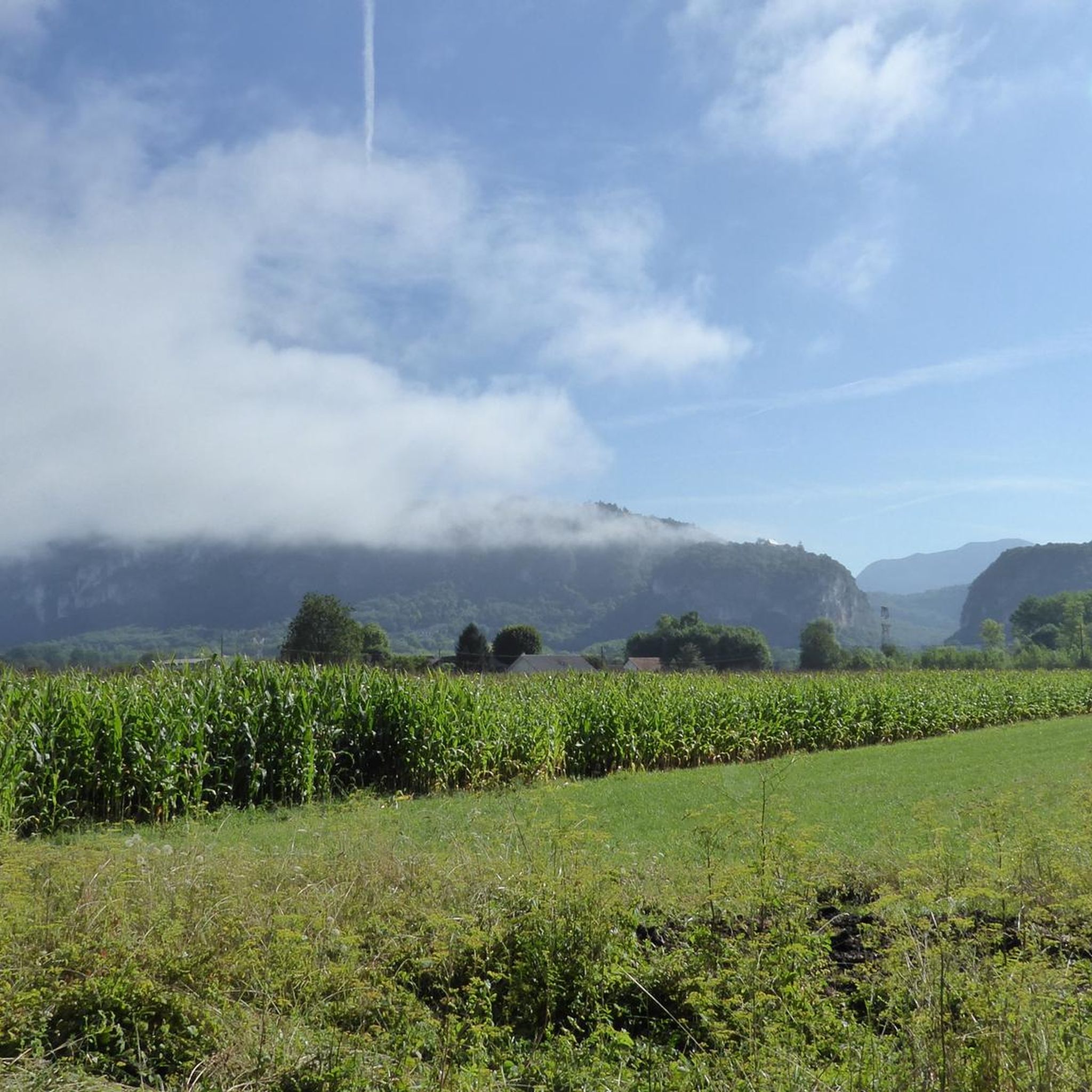
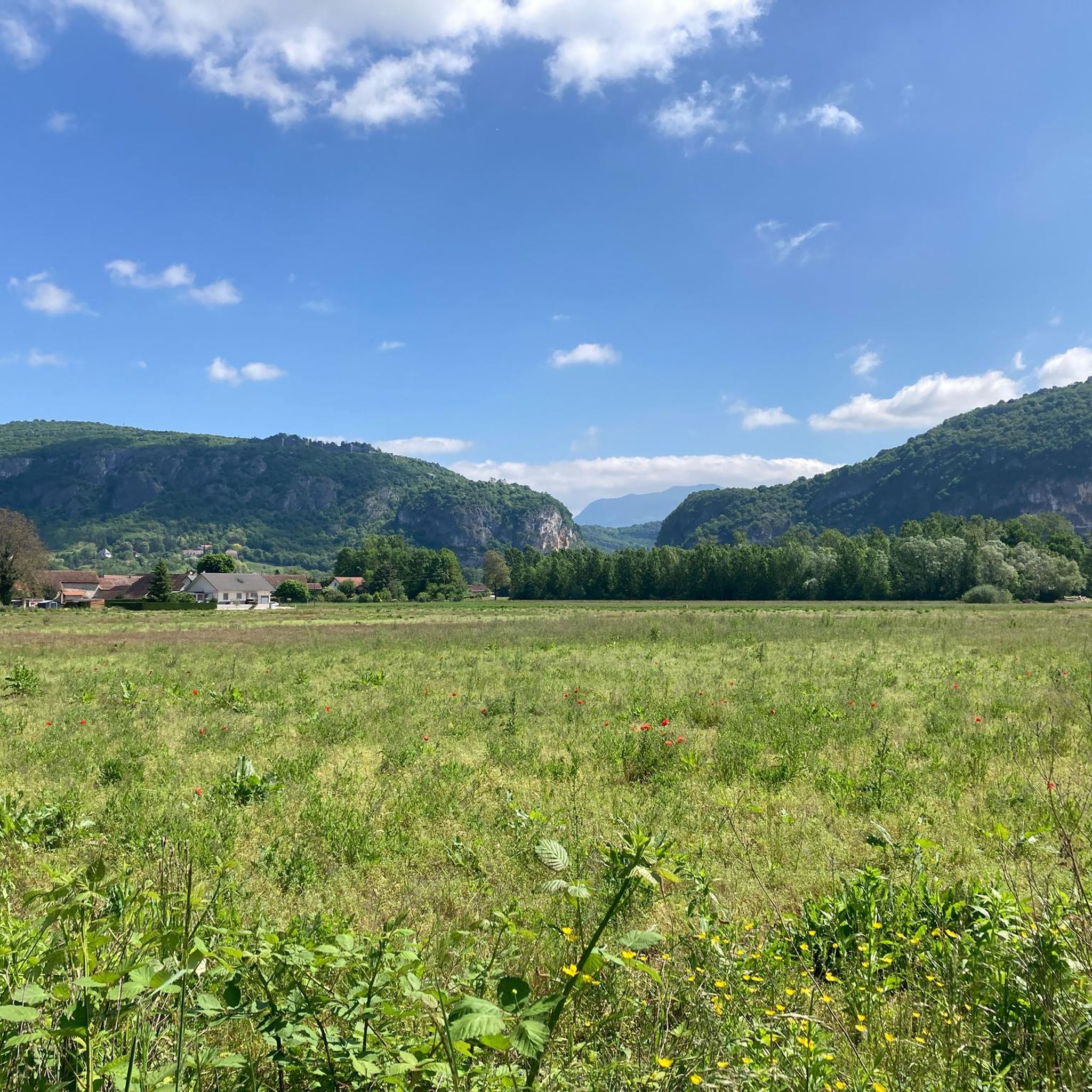
Road cycling around Brens, located in the Tarn department of France, features routes within the Garonne basin. The terrain is characterized by rolling agricultural landscapes and river valleys, with elevations generally ranging from 95 to 209 meters. This area offers varied road cycling experiences, from flat sections along waterways to routes with modest elevation changes through the countryside. The region's network of roads provides access to scenic views and local villages.
Best road cycling routes around Brens
- The most popular…
Last updated: November 7, 2026
5.0
(1)
217
riders
111km
06:34
2,740m
2,740m
Hard road ride. Very good fitness required. Mostly well-paved surfaces and easy to ride.
4.1
(7)
149
riders
66.0km
02:55
380m
390m
Moderate road ride. Good fitness required. Mostly well-paved surfaces and easy to ride.

4.3
(8)
153
riders
58.0km
02:33
320m
320m
Moderate road ride. Good fitness required. Mostly well-paved surfaces and easy to ride.
4.6
(11)
143
riders
49.9km
02:03
280m
280m
Moderate road ride. Good fitness required. Mostly well-paved surfaces and easy to ride.
4.1
(7)
85
riders
60.6km
03:04
1,000m
1,000m
Hard road ride. Very good fitness required. Some segments of this route may be unpaved and difficult to ride.
Get access to more routes and recommendations from other explorers.
Already have an account?
Our route recommendations are based on thousands of hikes, rides, and runs completed by other people on komoot.
Start today with a free account
Your next adventure awaits.

Tips from the Community

The area is located on the border between the departments of Isère and Ain, right next to the Pont d’Évieu. A specific ViaRhôna link allows you to reach the center of the commune of Les Avenières directly from this point via small country roads.
0
0

unfortunately the swimming lake was closed during my visit
0
0
a very nice section for us cyclists
0
0


Very straight cycle path with a very beautiful view in the middle of nature
0
0

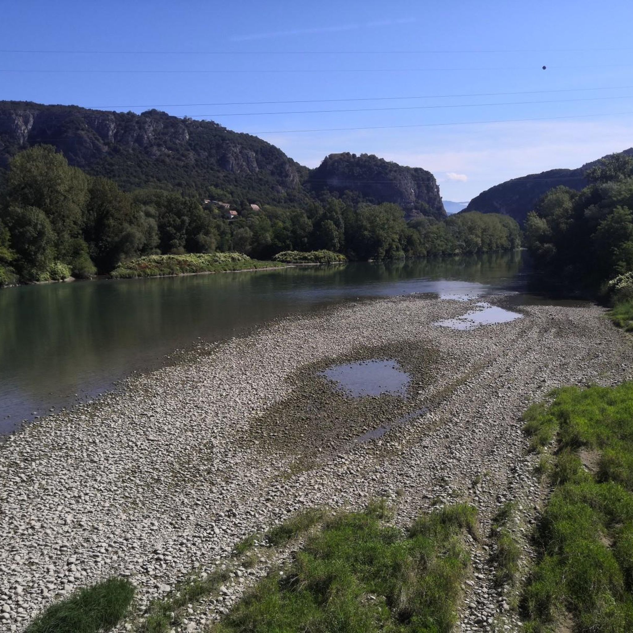
A beautiful section along the Rhone.
0
0

A very beautiful stretch along the ViaRhôna!
0
0

Be careful when going through the tunnel, you don't necessarily see the other bikes, otherwise the scenery is very pleasant.
0
0
Frequently Asked Questions
How many road cycling routes are available around Brens?
There are over 120 road cycling routes around Brens, offering a wide range of options for different skill levels. You'll find routes varying from easy to difficult, with many moderate options in between.
What kind of terrain can I expect when road cycling in the Brens area?
The Brens area, situated in the Tarn department of France within the Garonne basin, features predominantly rolling agricultural landscapes and river valleys. Elevations generally range from 95 to 209 meters, offering a mix of flatter sections along waterways and routes with modest elevation changes through the countryside.
Are there any easy road cycling routes suitable for beginners or a relaxed ride?
Yes, Brens offers several easy road cycling routes. A great option is the Savière Canal – Canal de Savières Road loop from Brens, which is 28.7 miles (46.2 km) long and leads through river valleys and agricultural land with modest elevation changes.
What are some notable natural features or landmarks to see along the road cycling routes?
The region offers several scenic spots. You can cycle past the beautiful Lac d'Ambléon or enjoy views of the Balme bridge. For a more dramatic natural sight, consider routes that pass near the Glandieu Waterfall. The ViaRhôna Cycle Path Along the Rhône Near Brens also offers picturesque views.
Are there any challenging road cycling routes with significant climbs?
For experienced cyclists seeking a challenge, the Rochette Pass – Culoz loop from Belley is a demanding option. This route covers 69.2 miles (111.3 km) and features significant elevation gain, making it ideal for those looking for a strenuous ride through mountainous landscapes.
Can I find circular road cycling routes around Brens?
Yes, many of the road cycling routes around Brens are designed as loops, allowing you to start and finish in the same location. Examples include the Savière Canal – Canal de Savières Road loop from Brens and the Lac d'Ambléon – Fosses Pass loop from Pélissière.
What do other road cyclists enjoy most about cycling in Brens?
The road cycling routes in Brens are highly rated by the komoot community, with an average score of 4.2 stars from over 140 reviews. Cyclists often praise the varied terrain, from gentle river valleys to more challenging climbs, and the scenic views of the agricultural landscapes and local villages.
Are there any routes that offer particularly good viewpoints?
Routes that follow the Rhône river, such as the Beautiful view of the Rhone – Caron loop from Virignin, provide excellent scenic vistas. Additionally, areas around natural features like Lac d'Ambléon often offer picturesque viewpoints.
Are there any road cycling routes suitable for families with children?
While specific 'family-friendly' routes are not explicitly categorized, the easier, flatter sections along river valleys and canals, such as parts of the Savière Canal – Canal de Savières Road loop from Brens, could be suitable for families looking for a relaxed ride. Always check the route's elevation profile and distance to ensure it matches your family's ability.
What is the best time of year for road cycling around Brens?
The region's climate generally makes spring and autumn ideal for road cycling, offering pleasant temperatures and beautiful scenery. Summer can also be enjoyable, though it's advisable to start rides early to avoid the midday heat. Winter cycling is possible but may require more preparation for colder conditions.
Are there options for moderate-difficulty road cycling routes?
Yes, Brens has a good selection of moderate routes. The Beautiful view of the Rhone – Caron loop from Virignin is a popular moderate path, covering 35.1 miles (56.6 km) with scenic views of the Rhone river. Another moderate option is the Canal de Savières Road – Savière Canal loop from Virignin.
Most popular attractions around Brens

Get inspired with the komoot mobile app


Explore more
Browse the best Road cycling routes in other regions.
