The best running trails around Longes
4.6
(5)
150
runners
22
runs
Jogging routes around Longes offer a variety of terrain within the Pilat Regional Natural Park. The area is characterized by its rolling hills, including Mont Monnet, and a mix of woodlands and open landscapes. Running trails often feature moderate to difficult ascents, providing elevation gain for more challenging workouts. The routes provide opportunities to explore the natural features of the Rhône region.
Best jogging routes around Longes
- The most popular jogging route is Vierge du Mont Monnet - loop -…
Last updated: November 7, 2026
8
runners
4.11km
00:32
130m
130m
19
runners
20.4km
02:44
780m
780m
Hard run. Very good fitness required. Mostly paved surfaces.

5.0
(1)
12
runners
9.35km
01:17
390m
390m
Hard run. Very good fitness required. Mostly paved surfaces.
13
runners
20.7km
02:48
800m
800m
Hard run. Very good fitness required. Mostly paved surfaces.
10
runners
13.2km
01:51
630m
630m
Hard run. Very good fitness required. Sure-footedness, sturdy shoes and alpine experience required.
Get access to more routes and recommendations from other explorers.
Already have an account?
Our route recommendations are based on thousands of hikes, rides, and runs completed by other people on komoot.
Start today with a free account
Your next adventure awaits.
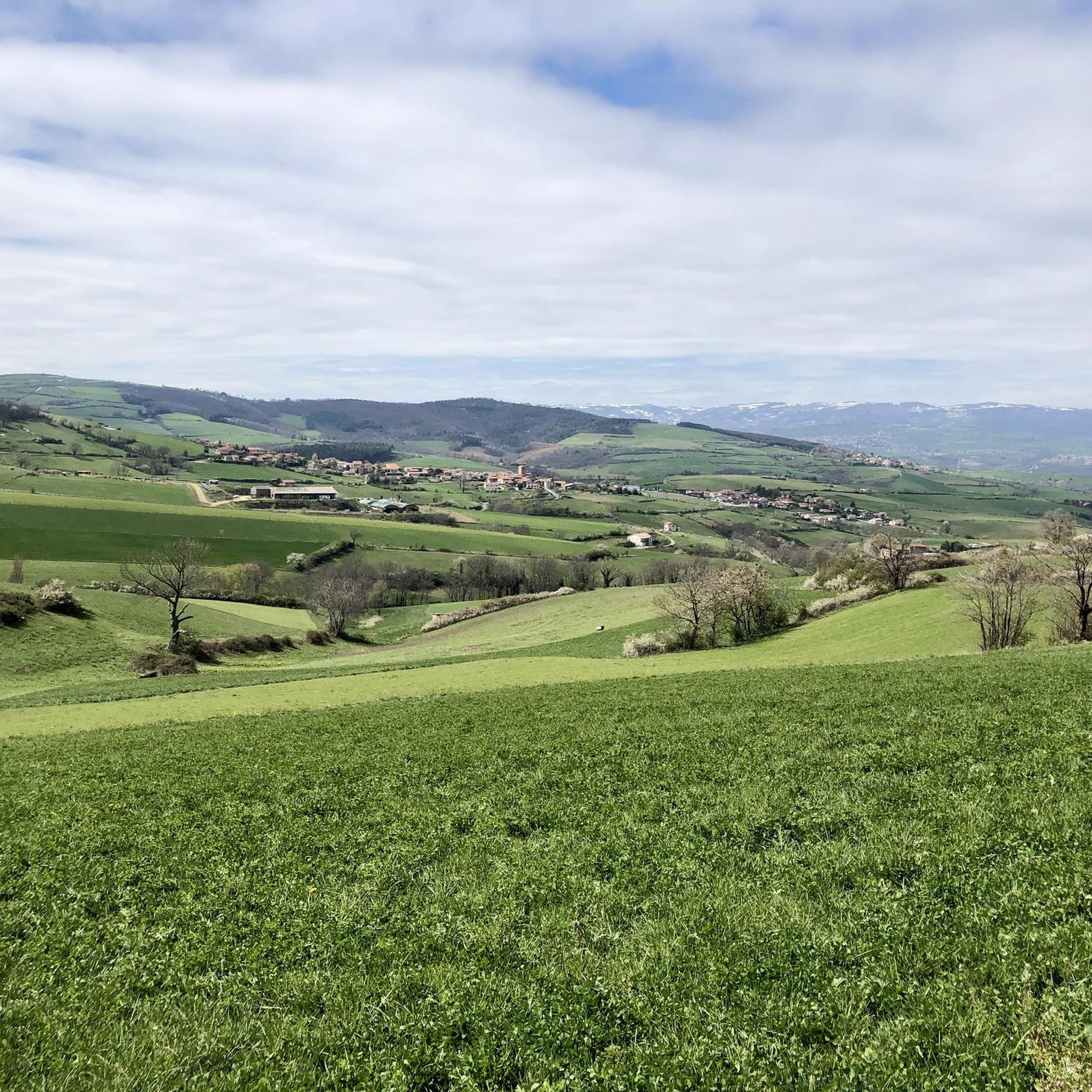
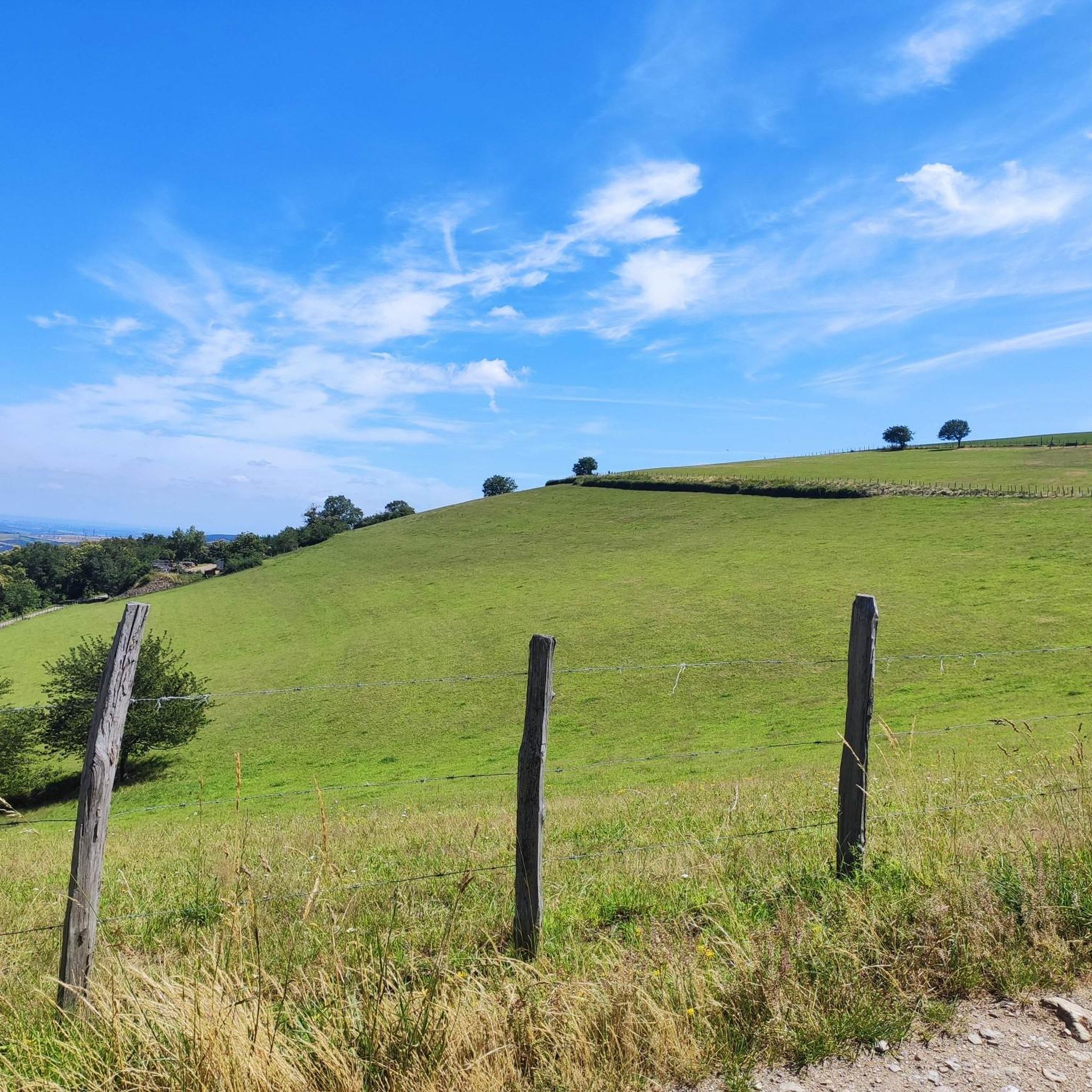
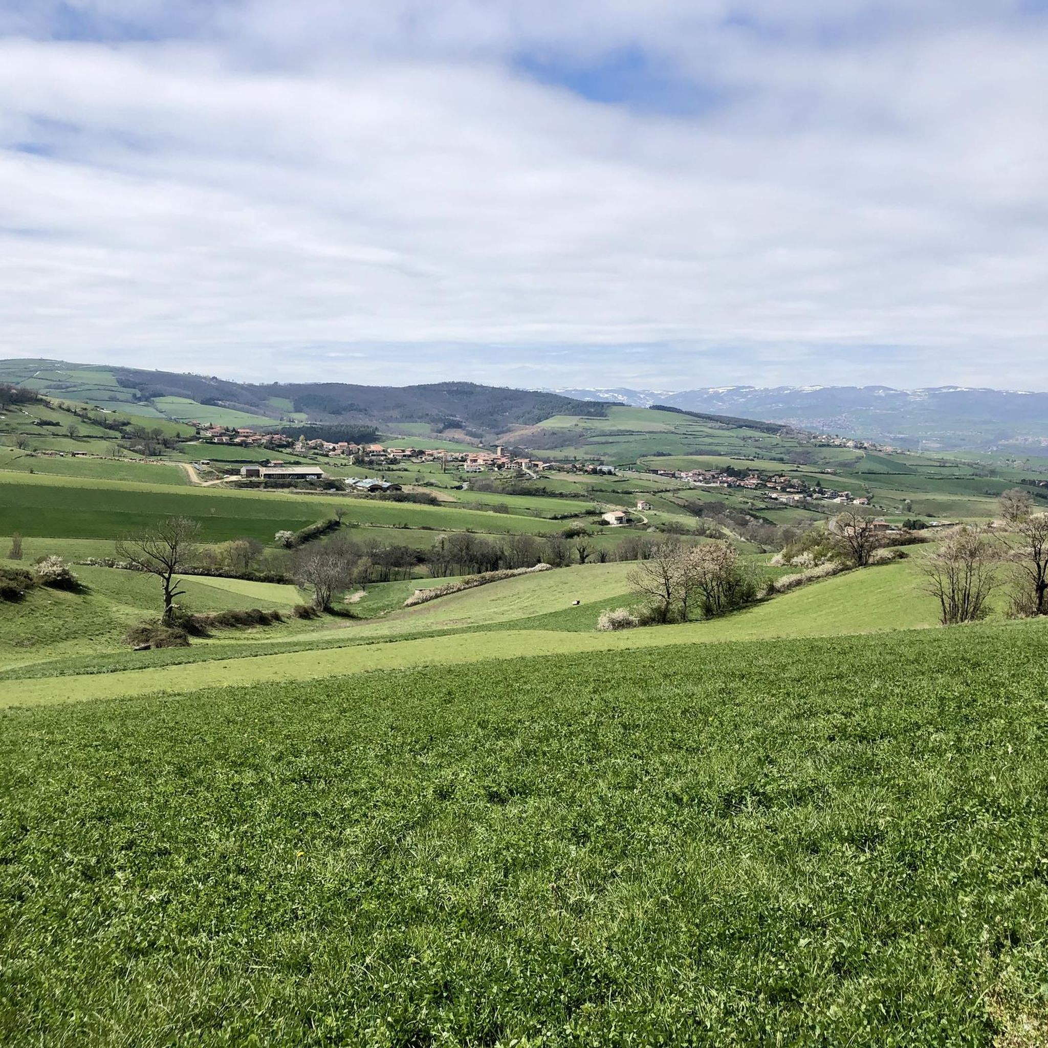
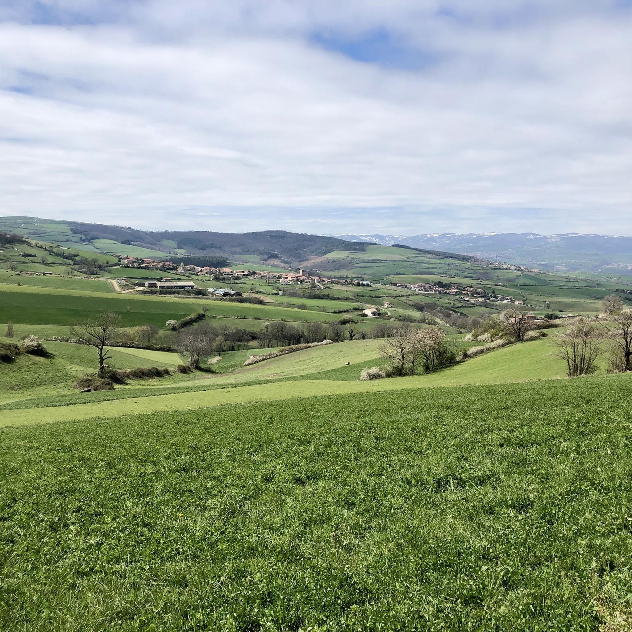

Tips from the Community

For the strenuous climb to Mont Monnet (782 m), you will be rewarded with a breathtaking view of the Phonetal valley. In addition, on the summit, you will find an information board, a small chapel, and a beautiful sculpture of the Madonna and Child.
0
0

The Col de Pavezin is certainly not the highest, but it is no less mythical. The inventor of the derailleur, Paul de Vivié, who settled here, made it an unmissable rendezvous. The pass is located between the Rhône valley and the Gier valley, and opens up a grandiose panorama of the Alps and the Rhône furrow.
0
0


THE crossroads of all the walks in the area, with the little refreshing break at the inn, it's perfect (change of owner in progress, for the moment it is closed)
0
0


We did this hike yesterday, it's worth the detour but being in good physical condition and walking poles are mandatory ☺️
0
0

The monastery of the Chartreuse de Sainte-Croix was founded in 1280 and remained in activity until 1792. Becoming a National Property during the French Revolution, the monastic community was expelled, and the monastery sold at auction in 44 lots to local families. There we find the town hall, a school...
0
0

The small village of Longes, made entirely of schist, is worth a visit. It is also the starting point for several hiking trails.
0
0
Frequently Asked Questions
How many running routes are available around Longes?
There are over 20 running routes available for jogging around Longes, offering a variety of options within the Pilat Regional Natural Park. These routes cater to different fitness levels, from moderate loops to more challenging long-distance runs.
What is the typical terrain like for jogging near Longes?
The terrain for jogging around Longes is characterized by rolling hills, including Mont Monnet, and a mix of woodlands and open landscapes. Many routes feature moderate to difficult ascents, providing elevation gain for a more challenging workout within the Rhône region.
What are the difficulty levels of the running trails in Longes?
The running trails in Longes offer a range of difficulty levels. You'll find 1 easy route, 7 moderate routes, and 14 difficult routes, ensuring options for various experience levels and training goals.
Are there any circular running routes in the Longes area?
Yes, many of the running routes around Longes are circular. For example, the Vierge du Mont Monnet - loop - running in the Pilat Regional Natural Park is a popular moderate circular trail. Another option is the challenging Grenouze Pass – Mont Ministre loop from Longes.
What do other runners say about the trails in Longes?
The running routes in Longes are highly rated by the komoot community, with an average score of 4.6 stars from over 5 reviews. More than 140 runners have used komoot to explore the varied terrain, often praising the scenic views and challenging ascents within the Pilat Regional Natural Park.
Are there any easy jogging routes suitable for beginners in Longes?
While many routes feature ascents, there is at least one easy jogging route available. For those looking for a moderate option, the Vierge du Mont Monnet - loop - running in the Pilat Regional Natural Park is a 2.5-mile trail that takes about 30 minutes to complete.
Can I find routes with significant elevation gain for a challenging run?
Absolutely. Jogging around Longes is known for its hills and offers plenty of routes with significant elevation gain. For instance, the Grenouze Pass – Mont Ministre loop from Longes is a difficult 12.6-mile path with substantial climbing, passing Mont Ministre and Grenouze Pass.
Are there any scenic viewpoints or natural features to see while running near Longes?
The routes in Longes offer opportunities to explore the natural features of the Rhône region and the Pilat Regional Natural Park. While specific viewpoints aren't detailed for every route, the area's rolling hills and woodlands provide a scenic backdrop. You might also encounter landmarks like the Calvary Chapel, Chavanay or the Condrieu Suspension Bridge in the wider area.
Are the running trails around Longes family-friendly?
While the guide highlights routes with moderate to difficult ascents, some shorter, less strenuous sections or the single easy route could be suitable for families looking for a gentle jog. It's always best to check the specific route details for distance and elevation to ensure it matches your family's capabilities.
Are there any attractions or points of interest near the running routes in Longes?
Yes, beyond the natural beauty of the Pilat Regional Natural Park, there are several points of interest nearby. These include the unique Butter Island, the historic village of Sainte-Croix-en-Jarez, and the Condrieu Suspension Bridge. You can also find facilities like the ViaRhôna Bike Rest Area and Facilities, Condrieu.
Can I find running routes that pass through different villages or towns near Longes?
Some routes connect Longes with nearby areas. For example, the Virgin of Mount Monnet loop from Chuyer starts from the nearby village of Chuyer, offering a different perspective of the Mount Monnet area. Another option is the Grenouze Pass – Sainte-Croix-en-Jarez loop from Longes, which takes you towards the notable village of Sainte-Croix-en-Jarez.
Are there any long-distance running options around Longes?
For those seeking longer runs, Longes offers several challenging options. The Grenouze Pass – Mont Ministre loop from Longes is a difficult 12.6-mile (20.3 km) path, and the Grenouze Pass – Sainte-Croix-en-Jarez loop from Longes extends to 13.5 miles (21.7 km), both featuring significant elevation changes.
Most popular attractions around Longes

Get inspired with the komoot mobile app


Explore more
Browse the best Running Trails & Routes in other regions.
