The best cycling routes around Riverie
4.3
(246)
1,889
riders
153
rides
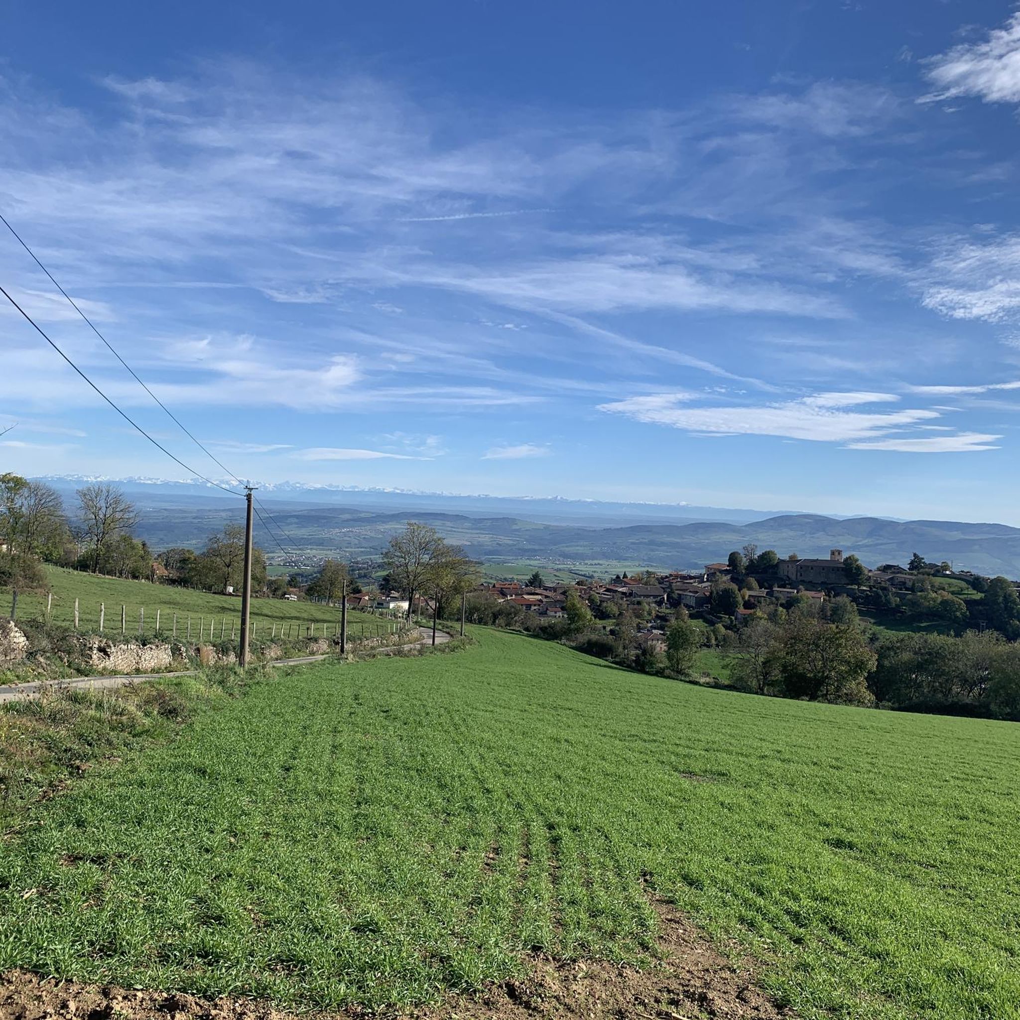
Touring cycling routes around Riverie traverse the elevated, rural landscape of the Monts du Lyonnais in eastern France. This small commune is situated on a rocky spur, offering panoramic views of the surrounding Rhône valley, Jura mountains, and Southern Alps. The terrain is characterized by hilly ascents and descents, typical of the eastern foothills of the Massif Central, with elevations ranging from 613 to 731 meters.
Best touring cycling routes around Riverie
- The most popular touring cycling route is Sainte-Croix-en-Jarez…
Last updated: August 11, 2026
4.5
(2)
21
riders
Hard bike ride. Very good fitness required. Mostly paved surfaces. Suitable for all skill levels.
12
riders
50.1km
04:43
1,470m
1,470m
Hard bike ride. Very good fitness required. Mostly paved surfaces. Suitable for all skill levels.

Sign up for free
15
riders
20.4km
01:51
500m
510m
Hard bike ride. Very good fitness required. Mostly paved surfaces. Suitable for all skill levels.
9
riders
40.6km
04:01
1,180m
1,180m
Hard bike ride. Very good fitness required. You may need to push your bike for some segments of this route.
3.0
(1)
7
riders
45.7km
03:06
740m
740m
Hard bike ride. Very good fitness required. Mostly paved surfaces. Suitable for all skill levels.
Get access to more routes and recommendations from other explorers.
Sign up for free
Already have an account?
Our route recommendations are based on thousands of hikes, rides, and runs completed by other people on komoot.
Start today with a free account
Your next adventure awaits.
Login or Signup
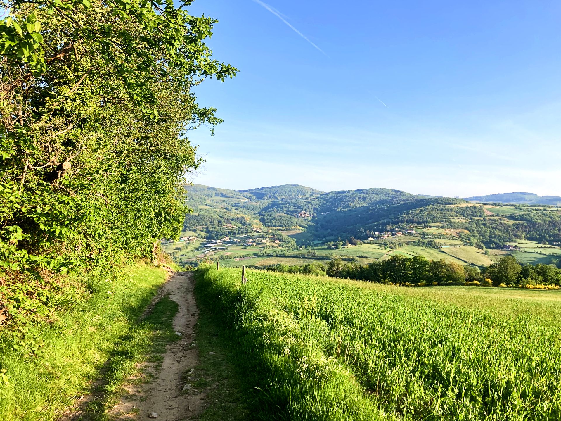
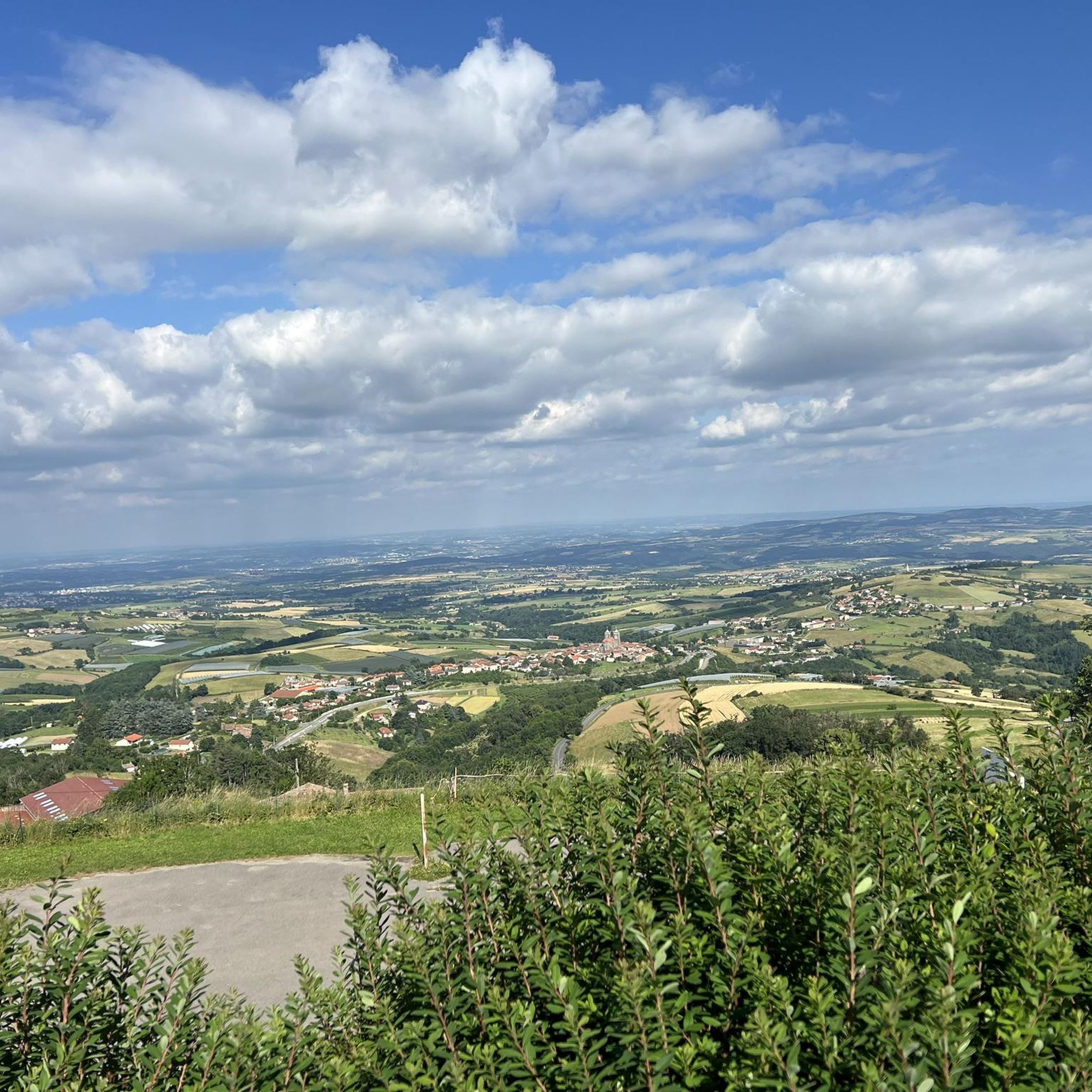
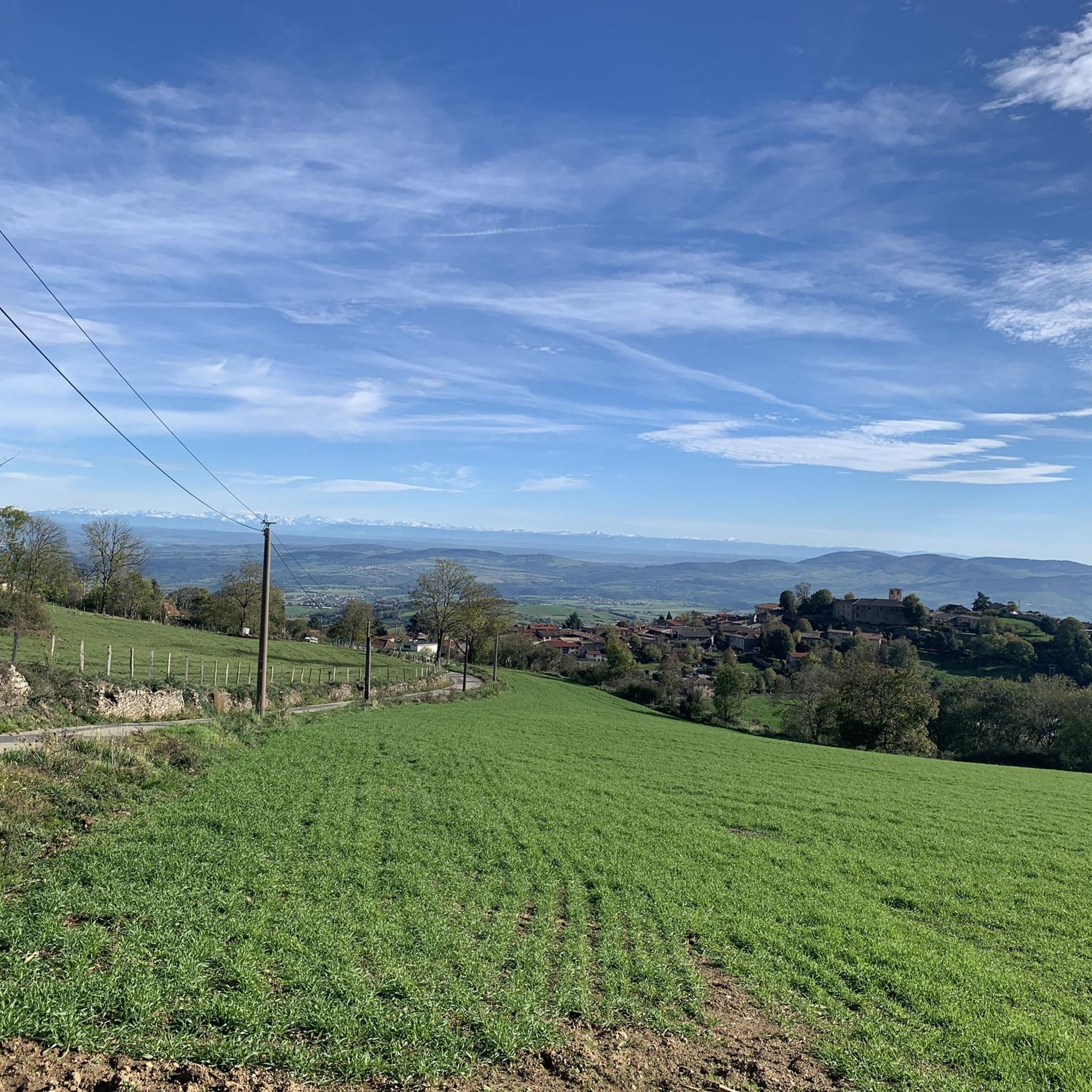
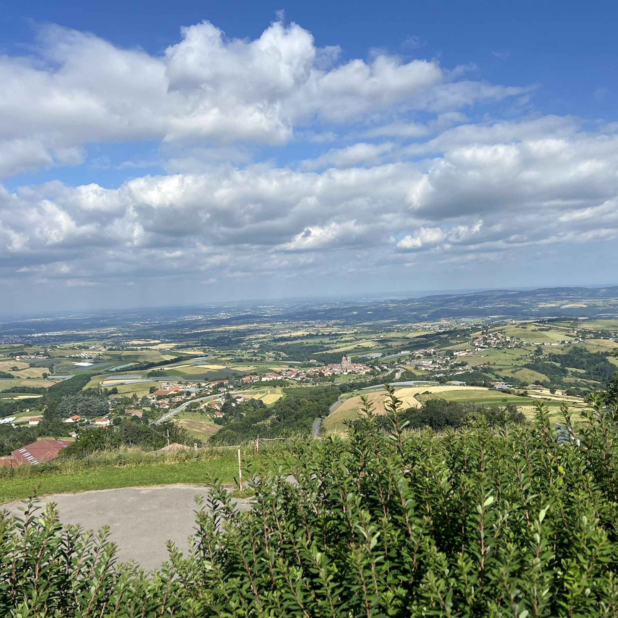

Other adventures around Riverie

Tips from the Community

The Tacot greenway, which connects Saint-Martin-en-Haut to Larajasse over five kilometers, is a true invitation to stroll. Built on the side of a hill, it peacefully follows the course of the river on a gentle slope, in an environment free from all car traffic.
0
0
The Tacot greenway, which connects Saint-Martin-en-Haut to Larajasse over five kilometers, is a true invitation to stroll. Built on the hillside, it peacefully follows the course of the river on a gentle slope, in an environment free from all car traffic.
0
0

This statue proudly presides over the fountain column in the square. It is beautifully restored and worth stopping here to wait for the group or to quietly grab a sip.
0
0

Beautiful walk with friends, in the freshness of May
0
0

Crêt Malherbe is the highest point in the Monts du Lyonnais. At 946 meters, it offers a panoramic view of the Alps and the Pilat massif. Although it provides a valuable vantage point, this summit is not frequently visited and is only accessible via a footpath from the hamlet of Les Loives.
0
0

magnificent view of the valley and its orchards
0
0

High point of the Monts du Lyonnais
0
0

Small town in the Monts du Lyonnais located 30 km from Lyon, beautiful view of the Lyon metropolitan area on a clear day. See the medieval site of Rochefort
0
0
Frequently Asked Questions
How many touring cycling routes are available around Riverie?
There are nearly 150 touring cycling routes around Riverie documented on komoot. These routes traverse the elevated, rural landscape of the Monts du Lyonnais, offering a variety of experiences for cyclists.
What is the general difficulty level of touring cycling routes in Riverie?
The touring cycling routes around Riverie are predominantly challenging, with 95 routes rated as difficult and 49 as moderate. There are also 2 easier routes available. The terrain is characterized by hilly ascents and descents, typical of the Monts du Lyonnais, with elevations ranging from 613 to 731 meters.
Are there any easy touring cycling routes suitable for beginners or families?
Yes, while most routes are challenging, there are 2 easy touring cycling routes available around Riverie. These routes offer a gentler introduction to the region's beautiful, elevated landscapes.
What kind of views can I expect on the touring cycling routes around Riverie?
From its elevated position, Riverie offers unparalleled panoramic views. Cyclists can expect to see the Jura mountains, the Southern Alps, the Lyonnais region, and the Rhône valley. The village itself is situated on a rocky spur, providing strategic viewpoints over the plain.
What are some interesting landmarks or attractions to see along the touring cycling routes?
As you cycle around Riverie, you can explore several interesting sites. These include the historic Saint Vincent Chapel, the Gold Mine of Saint-Joseph, and the Medieval Site of Rochefort. You might also pass through charming settlements like Saint-Martin-en-Haut, home to the Saint-Martin-en-Haut Church.
Are there any circular touring cycling routes in Riverie?
Yes, many of the touring cycling routes around Riverie are circular. For example, the Sainte-Croix-en-Jarez – Sainte-Croix-en-Jarez loop from Saint-Didier-sous-Riverie is a popular difficult route offering significant elevation changes and panoramic views. Another option is the Le Signal de Saint André – Saint-Martin-en-Haut loop from Saint-André-la-Côte, which winds through the hilly landscape.
What do other touring cyclists say about cycling in Riverie?
The touring cycling routes in Riverie are highly rated by the komoot community, with an average score of 4.3 stars from over 220 reviews. Cyclists often praise the panoramic views, the challenging climbs, and the varied terrain of the Monts du Lyonnais.
What is the best time of year to go touring cycling in Riverie?
The Auvergne-Rhône-Alpes region, where Riverie is located, generally experiences a continental climate. While specific seasonal conditions for Riverie are not detailed, the broader French Riviera, known for cycling, boasts around 300 days of sunshine a year, suggesting favorable conditions for much of the year, particularly outside of winter months when higher elevations might be colder.
Is public transport available to access the cycling routes in Riverie?
Riverie is a small, rural commune, approximately 35 km southwest of Lyon. While specific public transport links directly to the trailheads are not detailed, accessing the area typically involves a combination of regional transport and potentially a final leg by car or a longer cycle from a larger hub like Lyon.
Are there places to stop for refreshments like cafes or pubs along the routes?
Riverie itself is a small medieval village, and the surrounding Monts du Lyonnais region is rural. While specific cafes or pubs directly on every route are not listed, larger villages and towns within the region, such as Saint-Martin-en-Haut, would offer opportunities for refreshments and meals.
What kind of terrain can I expect on the touring cycling routes?
The terrain around Riverie is characterized by elevated rural landscapes and hilly ascents and descents. It is part of the Monts du Lyonnais, which are the eastern foothills of the Massif Central. This means you can expect varied terrain with significant elevation changes, providing a good challenge for touring cyclists.
How long do the touring cycling routes typically take to complete?
The duration of routes varies depending on their length and difficulty. For example, the Sainte-Croix-en-Jarez – Sainte-Croix-en-Jarez loop from Saint-Didier-sous-Riverie, which is 59.9 km, typically takes around 4 hours and 2 minutes. Another route, the Saint Didier loop from La Roche (52.8 km), is often completed in about 4 hours and 53 minutes due to its significant elevation gain.
Most popular attractions around Riverie

Get inspired with the komoot mobile app


Explore more
Browse the best Cycling routes in other regions.
