The best walks and hikes around Villars-Lès-Blamont
4.4
(381)
1,935
hikers
136
hikes
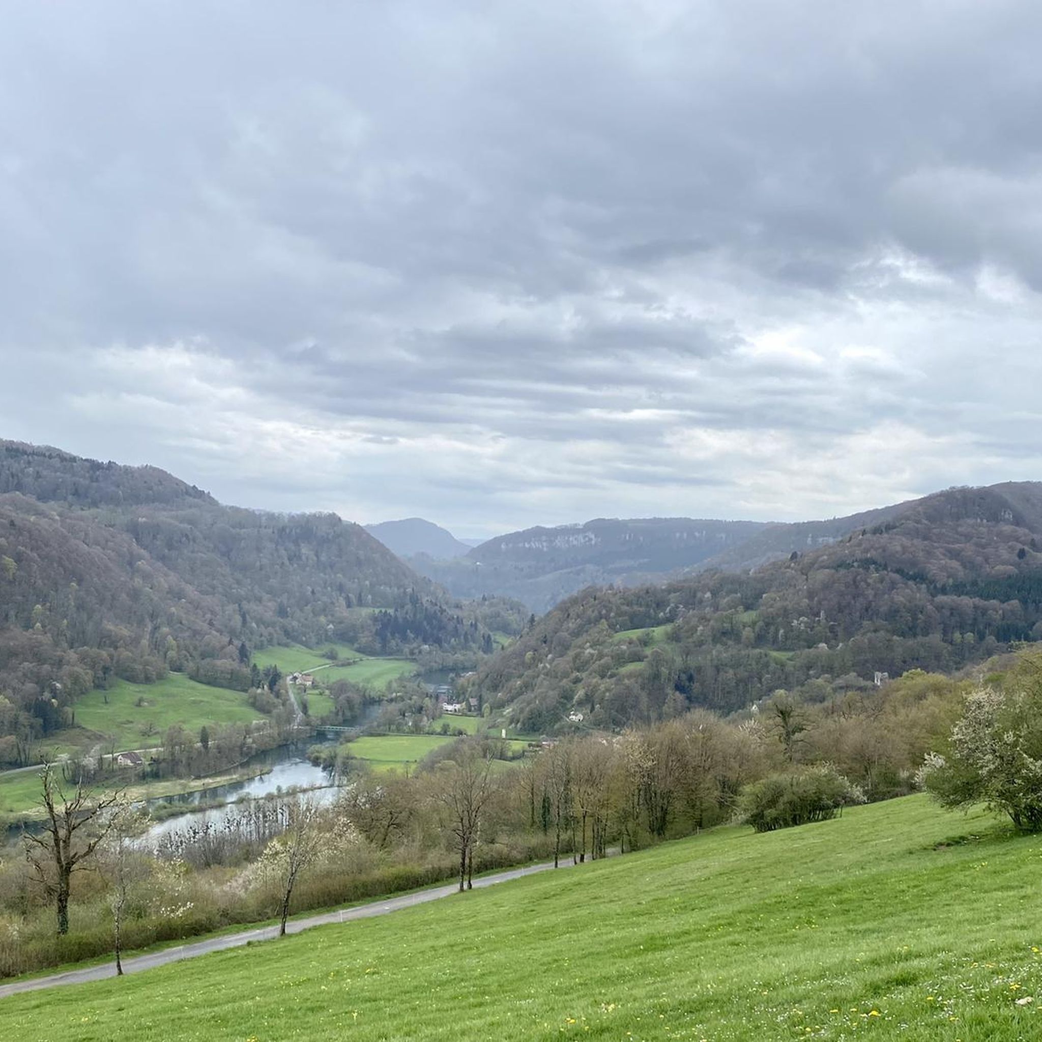
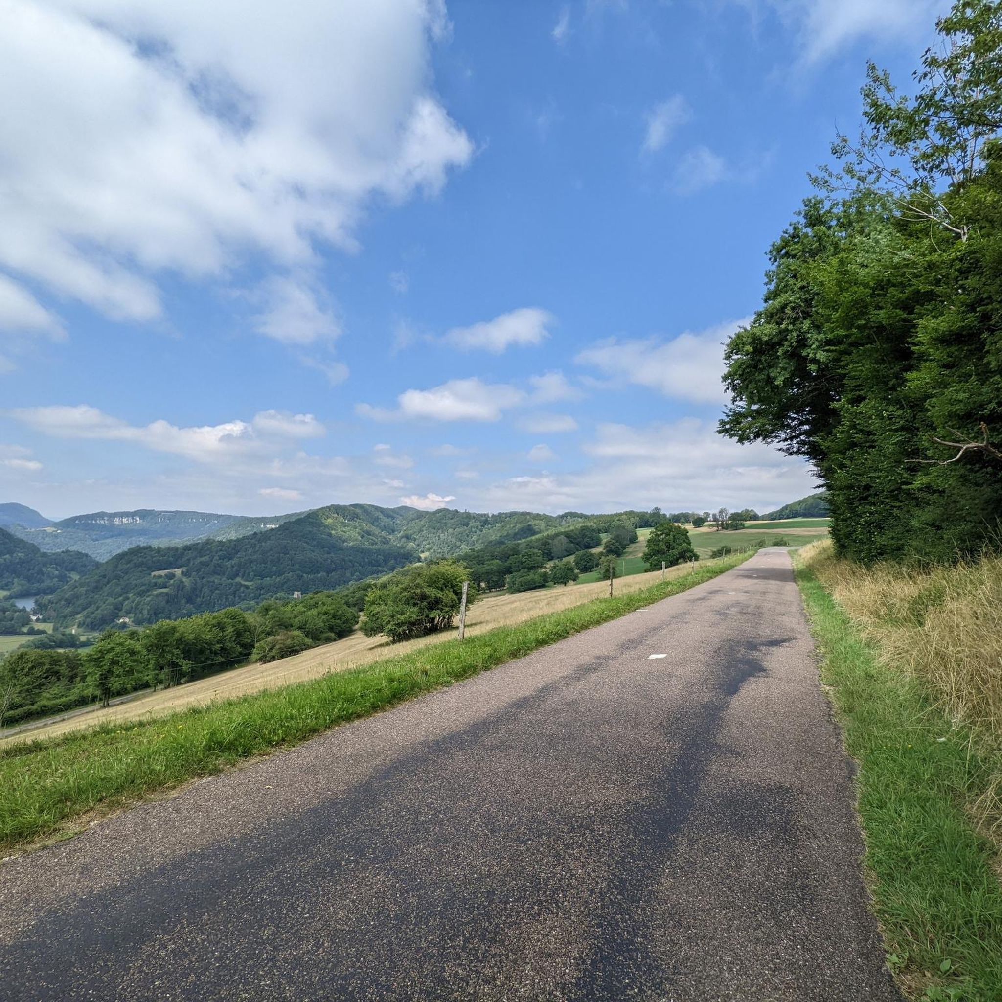
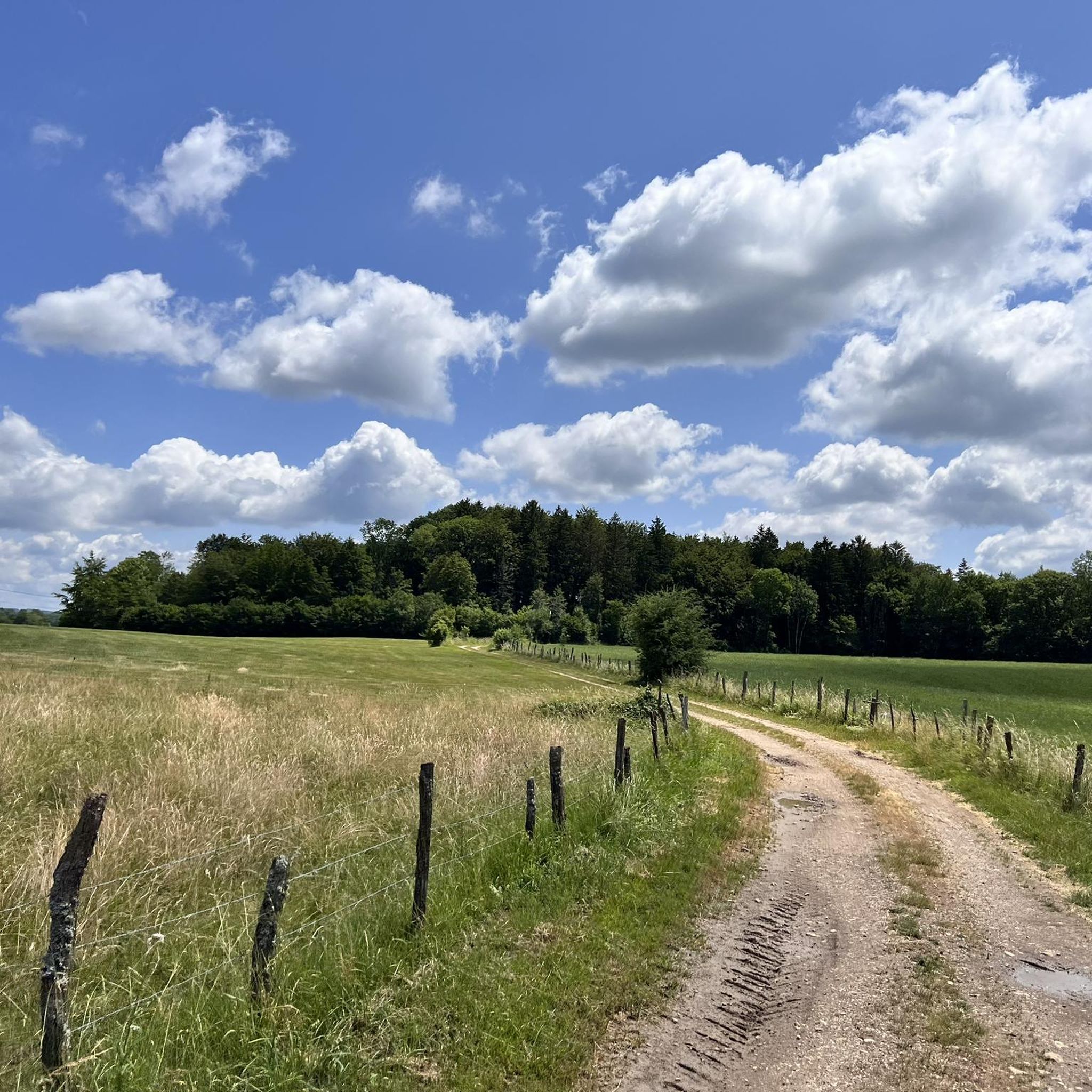
Hiking around Villars-Lès-Blamont offers a diverse landscape characterized by rolling hills, dense woodlands, and scenic valleys near the French-Swiss border. The region features a network of trails that traverse varied terrain, from gentle paths suitable for easy hikes to more challenging routes with moderate elevation changes. These hiking trails around Villars-Lès-Blamont provide opportunities to explore the natural environment and local points of interest.
Best hiking trails around Villars-Lès-Blamont
- The most popular hiking route is Brisepoutot and the Roches Battery Trail…
Last updated: July 20, 2026
4.3
(9)
56
hikers
6.17km
01:50
180m
180m
Easy hike. Great for any fitness level. Easily-accessible paths. Suitable for all skill levels.
5.0
(3)
16
hikers
9.04km
02:36
210m
210m
Moderate hike. Good fitness required. Easily-accessible paths. Suitable for all skill levels.

Sign up for free
4
hikers
Moderate hike. Good fitness required. Easily-accessible paths. Suitable for all skill levels.
5.0
(1)
2
hikers
9.41km
02:54
340m
340m
Moderate hike. Good fitness required. Easily-accessible paths. Suitable for all skill levels.
2
hikers
Moderate hike. Great for any fitness level. Mostly accessible paths. Sure-footedness required.
Get access to more routes and recommendations from other explorers.
Sign up for free
Already have an account?
Our route recommendations are based on thousands of hikes, rides, and runs completed by other people on komoot.
Start today with a free account
Your next adventure awaits.
Login or Signup

Tips from the Community

The fountain consists of a large rectangular trough 3.50 m long and 1.20 m wide, which was built in the 16th century.
1
0

Former customs hut (a customs brigade was stationed in Chamesol until 1957), rehabilitated in 2015 by the Community of Communes. Located on the GR5 and one of the "Chemins de Contrebande franco-suisse".
0
0

Villars-lès-Blamont is a small French village bordering Switzerland. With almost 500 inhabitants, you will not find any shops or services. On the other hand, two churches (Catholic and Protestant), as well as a chapel, occupy the center of the village.
1
0

The Lomont batteries had a very strategic position here because it blocked the passage between Montbéliard and the Swiss border. Today, this belvedere offers us a wide view of the entire Lomont, which is a chain of low mountains, located north of the Jura massif.
2
0

Follow the signs from Blamont.
3
1
Frequently Asked Questions
How many hiking trails are available around Villars-Lès-Blamont?
The Villars-Lès-Blamont region offers a wide selection of hiking opportunities, with over 130 routes available. These trails cater to various preferences, from gentle walks to more challenging excursions through diverse landscapes.
Are there easy hiking trails suitable for beginners or casual walkers in Villars-Lès-Blamont?
Yes, Villars-Lès-Blamont has over 35 easy hiking trails perfect for beginners or those seeking a relaxed walk. A great option is the Tante Arie Cave – Vaugonderis Fountain loop from Blamont, an easy 4.1-mile path that offers a gentle walk through natural surroundings.
What kind of scenery can I expect on hikes around Villars-Lès-Blamont?
Hikers in Villars-Lès-Blamont can expect diverse scenery, including rolling hills, dense woodlands, and scenic valleys. Many trails offer views towards the French-Swiss border and pass by historical sites or natural monuments. The region is characterized by varied forest paths and open landscapes.
Are there any circular walks available in Villars-Lès-Blamont?
Yes, many of the trails around Villars-Lès-Blamont are designed as circular routes, allowing you to start and end at the same point. An example is the Trail Along the Swiss Border – Forest Trail loop from Villars-lès-Blamont, which offers a moderate 5.6-mile loop through forests and along the border.
What are some interesting natural attractions or landmarks to see while hiking?
The area around Villars-Lès-Blamont features several interesting natural and historical landmarks. You might encounter the Bisontin Cave, the Fontaine de Roches, or even the Dinosaur Tracks of Pommerat. For those interested in history, the Lomont Maquis Memorial is also accessible via some routes.
Are there any trails with good viewpoints in the region?
Absolutely. The region offers several trails with rewarding panoramic viewpoints. Consider the Pont-de-roide viewpoint – View from Point-de-Ride loop from Pierrefontaine-lès-Blamont, a moderate 7.0-mile trail that leads through forested areas and provides excellent vistas.
What do other hikers enjoy most about the trails in Villars-Lès-Blamont?
The trails in Villars-Lès-Blamont are highly rated by the komoot community, with an average score of 4.5 stars from over 300 reviews. Hikers often praise the varied forest paths, the tranquility of the rolling hills, and the well-maintained routes that offer options for all ability levels.
Are there any historical sites or points of interest along the hiking routes?
Yes, the region has historical significance. For example, the Brisepoutot and the Roches Battery Trail passes by historical battery sites, offering a glimpse into the area's past. The Lomont Maquis Memorial is another significant historical landmark that can be explored on foot.
What is the best time of year to go hiking in Villars-Lès-Blamont?
The best time to hike in Villars-Lès-Blamont is generally from spring through autumn (April to October) when the weather is mild and the natural scenery is at its most vibrant. Spring brings blooming wildflowers, while autumn offers beautiful foliage. Summer is also popular, but trails can be busier.
Are there any trails that are particularly suitable for families with children?
For families, the easier and shorter routes are ideal. Trails with minimal elevation gain and interesting features like the Fontaine de Roches or the Dinosaur Tracks of Pommerat can be engaging for children. Look for routes marked as 'easy' in the komoot app for the most suitable options.
Can I bring my dog on the hiking trails in Villars-Lès-Blamont?
Most hiking trails in the Villars-Lès-Blamont area are dog-friendly, provided your dog is kept on a leash, especially in nature reserves or near livestock. Always ensure you carry water for your pet and clean up after them. It's advisable to check specific trail regulations if you plan to visit a protected area.
Are there any waterfalls to see on the hikes?
While the region is more known for its forests and hills, you can find natural water features. The Doue Spring is a notable highlight that can be incorporated into a hike, offering a refreshing natural sight.
Most popular routes around Villars-Lès-Blamont
Most popular attractions around Villars-Lès-Blamont

Get inspired with the komoot mobile app


Explore more
Browse the best Hikes in other regions.
