The best walks and hikes around Ville-Du-Pont
4.4
(257)
1,735
hikers
123
hikes
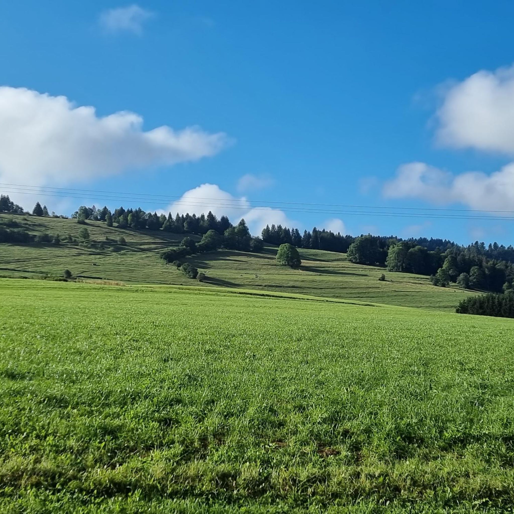
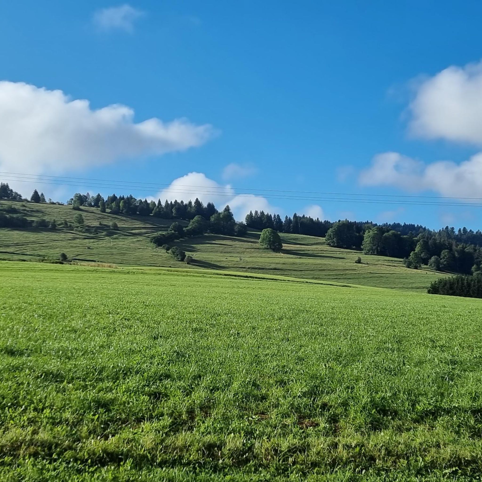
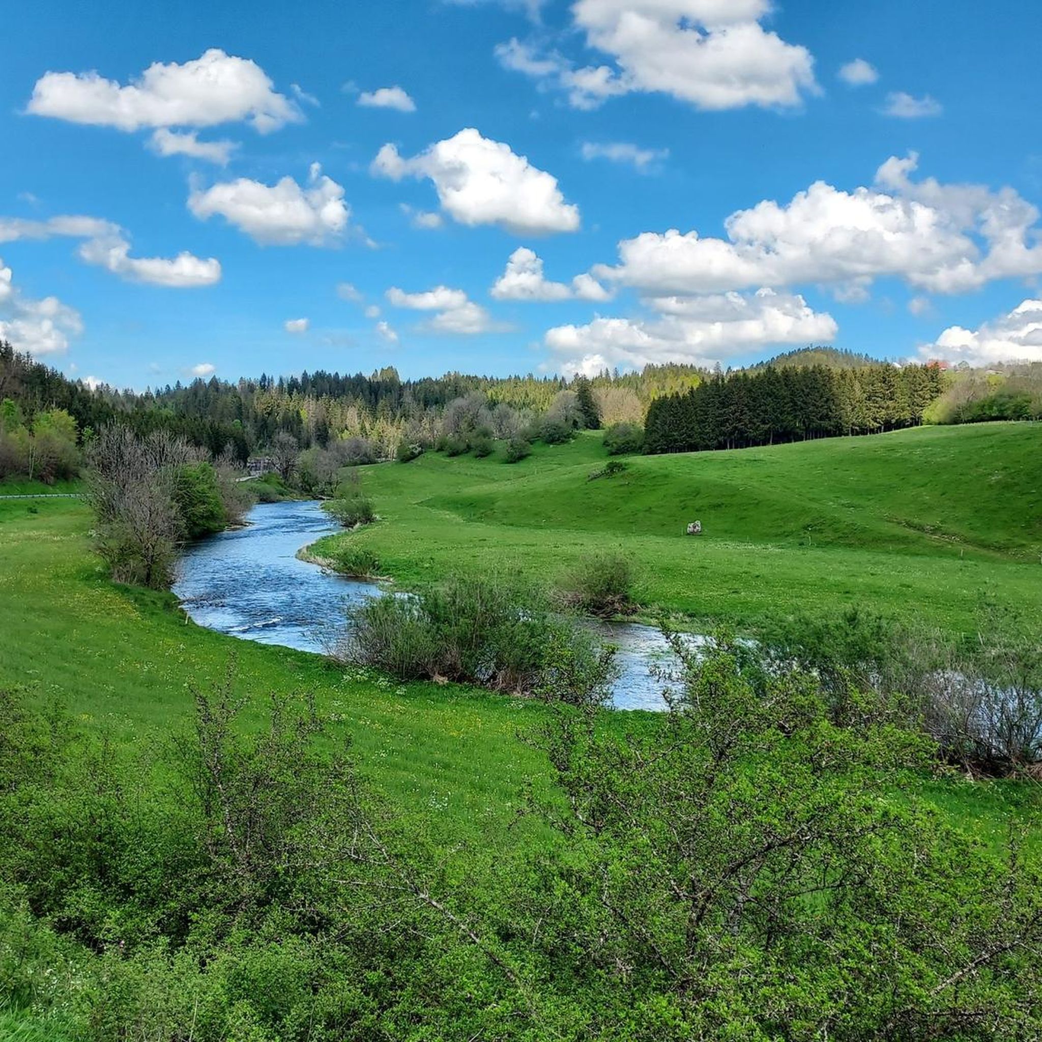
Hiking trails around Ville-Du-Pont are set within the Jura Mountains, offering a diverse landscape characterized by river valleys, forests, and glacial lakes. The region is part of the Doubs department, known for its natural environment, including the Doubs River and its karst spring source. Hikers can explore varied terrain, from gentle paths around water bodies to more challenging routes through mountainous areas.
Best hiking trails around Ville-Du-Pont
- The most popular hiking route is Cascade des Chaudières et mont Châteleu — loop in the parc naturel régional du Doubs Horloger, an 8.1 miles (13.1 km) trail that takes 4 hours 4 minutes to complete, featuring waterfalls and mountain views.
- Another top favourite among local hikers is Chaudières Falls – Wooden Bridge Over the Stream loop from Les Gras, an easy 3.6 miles (5.7 km) path. This route offers scenic views of the Chaudières Falls and crosses a wooden bridge over the stream.
- Local hikers also love the Rocher du Cerf loop from Le Théverot, a 4.5 miles (7.3 km) trail leading through forested areas and offering views from Rocher du Cerf, often completed in about 2 hours 14 minutes.
- Hiking around Ville-Du-Pont is defined by the Jura Mountains, the Doubs River, and glacial lakes, with routes traversing forests, valleys, and open landscapes. The network offers options for different ability levels, from easy strolls to moderate climbs.
- The routes in Ville-Du-Pont are highly rated by the komoot community with an average score of 4.4 stars from over 200 reviews. More than 1,500 hikers have used komoot to explore Ville-Du-Pont's varied terrain.
Last updated: October 10, 2026
4.4
(25)
99
hikers
Moderate hike. Good fitness required. Mostly accessible paths. Sure-footedness required.
3.7
(11)
59
hikers
5.74km
01:43
180m
180m
Easy hike. Great for any fitness level. Easily-accessible paths. Suitable for all skill levels.

5.0
(3)
25
hikers
7.33km
02:14
260m
270m
Moderate hike. Good fitness required. Easily-accessible paths. Suitable for all skill levels.
4.0
(2)
35
hikers
11.8km
03:43
460m
460m
Moderate hike. Good fitness required. Easily-accessible paths. Suitable for all skill levels.
5.0
(1)
18
hikers
12.4km
03:38
350m
340m
Moderate hike. Good fitness required. Easily-accessible paths. Suitable for all skill levels.
Get access to more routes and recommendations from other explorers.
Already have an account?
Our route recommendations are based on thousands of hikes, rides, and runs completed by other people on komoot.
Start today with a free account
Your next adventure awaits.
Tips from the Community

Hiking trail only. No mountain biking
0
0

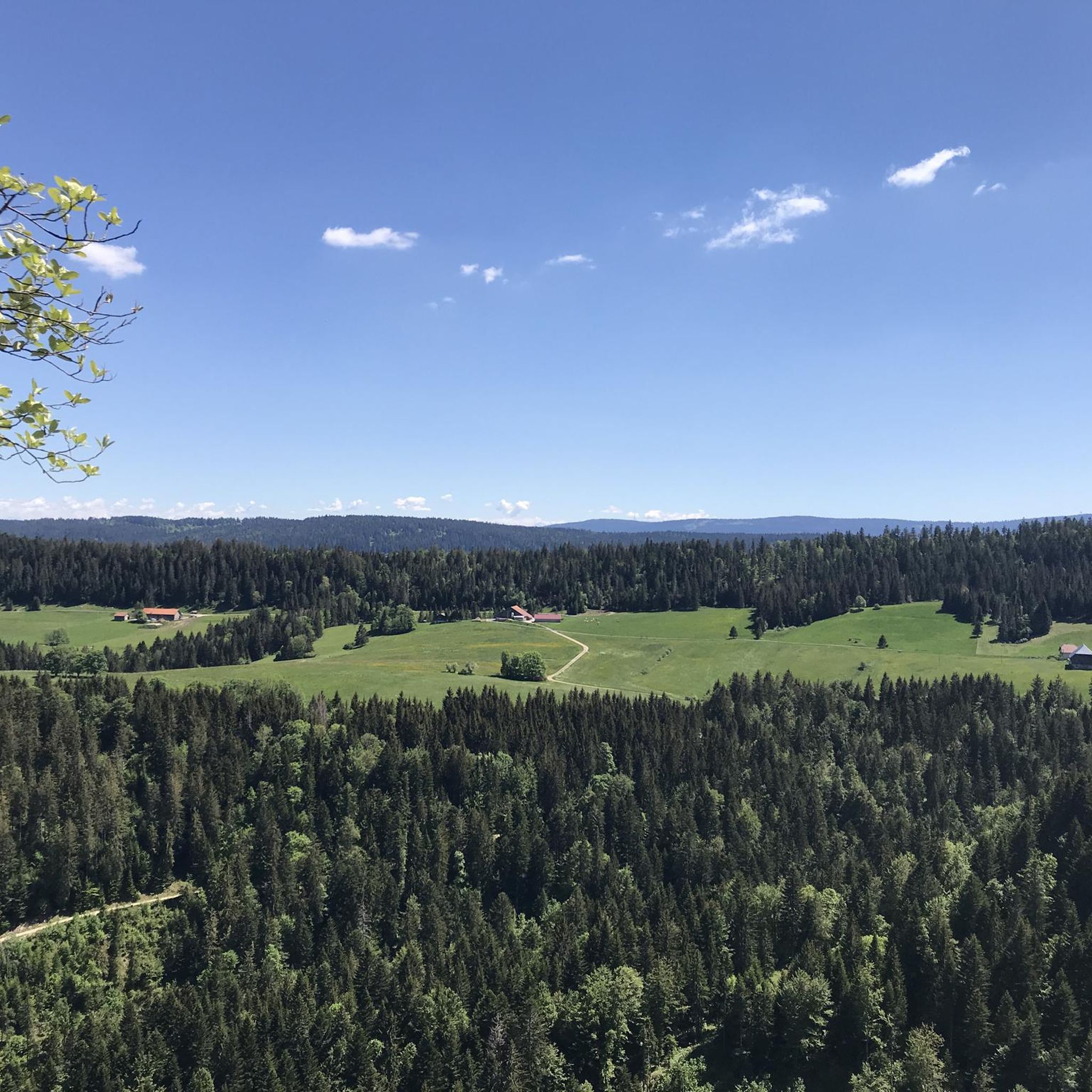
Mont Châteleu is located on a line of Jura ridges facing south-west/north-east. It is located on the watershed line between the Mediterranean Sea and the North Sea. This is the highest point in the sector at 1,300 meters above sea level. On the southern slope of the mountain, a splendid belvedere offers an incomparable view at more than 180° and allows paragliders to take off from this place.
1
1

From a height of 120 m, this series of waterfalls descends from Mont Chateleu. Small but beautifully formed, these waterfalls are a feast for the eyes.
3
0

At 1,302 meters above sea level, Mont Châteleu offers a superb panorama of the Jura massif. You access by a beautiful path in the middle of a fir forest which culminates on a fairly clear summit.
2
0
Frequently Asked Questions
How many hiking trails are available around Ville-Du-Pont?
There are over 120 hiking trails around Ville-Du-Pont, offering a diverse range of experiences. This includes 40 easy routes, 73 moderate trails, and 8 more challenging options, catering to various fitness levels.
Are there any easy, family-friendly hikes in the area?
Yes, the region offers several easy and family-friendly options. An excellent choice is the Chaudières Falls – Wooden Bridge Over the Stream loop from Les Gras. This 3.6-mile (5.7 km) path is relatively flat, takes about 1 hour 42 minutes, and provides scenic views of the Chaudières Falls, making it suitable for families.
Can I find circular hiking routes near Ville-Du-Pont?
Many of the trails around Ville-Du-Pont are circular. For a moderate circular hike, consider the Cascade des Chaudières et mont Châteleu — loop in the parc naturel régional du Doubs Horloger. This 8.1-mile (13.1 km) route features waterfalls and mountain views, typically completed in just over 4 hours.
What kind of natural attractions can I see while hiking in this region?
The region around Ville-Du-Pont, nestled in the Jura Mountains, is rich in natural beauty. You can explore the Doubs River, its powerful karst spring source, and beautiful glacial lakes like Lac de Saint-Point. Many trails also lead to scenic viewpoints such as Mont Vouillot Viewpoint, or natural formations like the Glacière de Monlési Ice Cave.
Are there any hikes that feature waterfalls?
Yes, waterfalls are a prominent feature in the area. The Chaudières Falls – Mont Châteleu loop from Les Gras is a great option. This moderate 7.3-mile (11.8 km) trail takes approximately 3 hours 43 minutes and offers impressive views of the Chaudières Falls.
What do other hikers say about the trails around Ville-Du-Pont?
The hiking trails around Ville-Du-Pont are highly regarded by the komoot community, with an average rating of 4.4 out of 5 stars from over 200 reviews. Hikers often praise the diverse terrain, from river valleys and forests to glacial lakes, and the well-maintained paths that offer options for all ability levels.
Are there any specific viewpoints or summits accessible by hiking?
Absolutely. For panoramic views, consider the Rocher du Cerf loop from Le Théverot. This 4.5-mile (7.3 km) moderate trail leads through forested areas and offers rewarding views from Rocher du Cerf, typically completed in about 2 hours 14 minutes. You can also find the summit of Mont Châteleu on some routes.
What is the best time of year for hiking in Ville-Du-Pont?
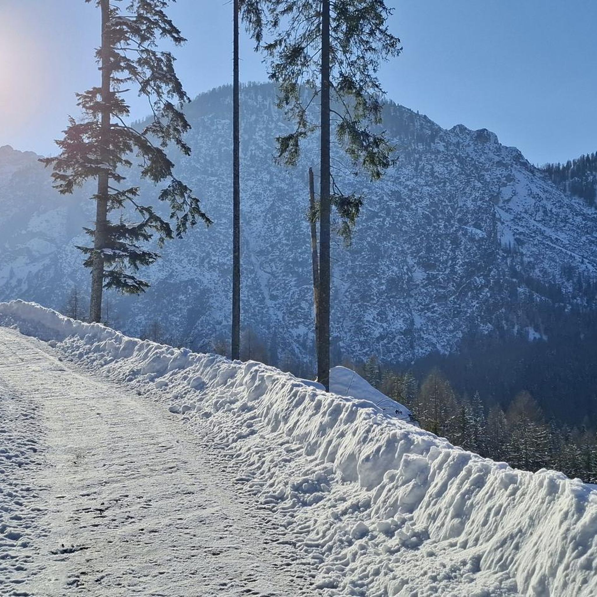
The region around Ville-Du-Pont is beautiful throughout the warmer months, from spring to autumn. Spring brings lush greenery and blooming flora, while summer offers pleasant temperatures for longer treks. Autumn is particularly scenic with vibrant fall foliage. Winter hiking is also possible, but some routes may require appropriate gear for snow and ice.
Are there any historical sites or landmarks I can visit near the hiking trails?
While hiking, you can combine your outdoor adventure with visits to nearby historical sites. The imposing Chateau de Joux, a clifftop castle with a thousand-year history, is located about 17 km from Ville-Du-Pont and could be incorporated into a hiking itinerary. You might also encounter highlights like the La Brévine Weather Station.
Are there any dog-friendly hiking trails around Ville-Du-Pont?
Many trails in the Doubs department are suitable for dogs, provided they are kept under control, especially in areas with livestock or wildlife. It's always recommended to check local signage for specific restrictions, but generally, the natural environment of the Jura Mountains welcomes well-behaved dogs on leash.
Are there any permits required for hiking in the Ville-Du-Pont area?
Generally, no specific permits are required for hiking on the public trails around Ville-Du-Pont. However, always respect private property, follow marked paths, and adhere to any local regulations, especially within natural parks or protected areas, to ensure a pleasant experience for everyone.
Can I access hiking trails near Ville-Du-Pont using public transport?
While Ville-Du-Pont itself is a smaller commune, the broader Doubs department has some public transport options. For specific trailheads, it's advisable to check local bus schedules or regional train services that connect to larger towns like Pontarlier, which then might offer closer access to various hiking starting points. Planning ahead is recommended.
Most popular routes around Ville-Du-Pont
Most popular attractions around Ville-Du-Pont

Get inspired with the komoot mobile app


Explore more
Browse the best Hikes in other regions.
