The best walks and hikes around Virieu-Le-Petit
4.4
(699)
4,136
hikers
181
hikes
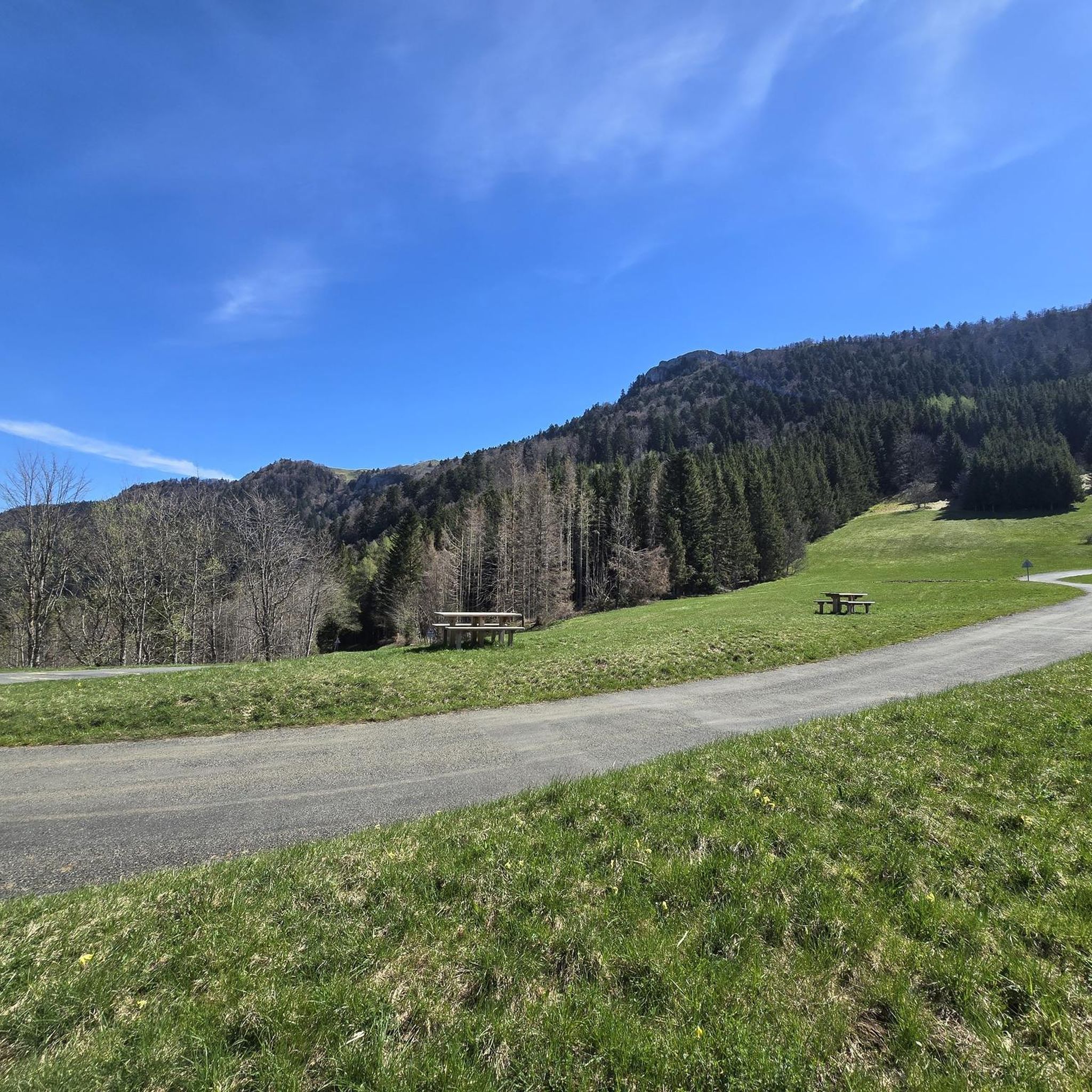
Hiking around Virieu-Le-Petit offers diverse natural landscapes, characterized by the Grand Colombier Massif, which reaches 1531 meters and features over 100 kilometers of marked hiking trails. The region includes dense forests, expansive meadows, and geological formations such as the Gorges de Thurignin and the Canyon du Groin. Hikers can find panoramic views of the Alps, the Rhône River, and several lakes from elevated points like the Grand Colombier summit and Roche de Chanduraz. The varied terrain provides numerous hiking opportunities…
Last updated: September 26, 2026
4.5
(26)
122
hikers
7.00km
02:28
370m
370m
Moderate hike. Good fitness required. Mostly accessible paths. Sure-footedness required.
4.7
(16)
123
hikers
13.9km
04:37
490m
490m
Moderate hike. Good fitness required. Mostly accessible paths. Sure-footedness required.

4.6
(10)
83
hikers
14.4km
05:16
910m
910m
Hard hike. Very good fitness required. Easily-accessible paths. Suitable for all skill levels.
4.3
(13)
38
hikers
Moderate hike. Great for any fitness level. Mostly accessible paths. Sure-footedness required.
5.0
(2)
34
hikers
11.5km
03:50
520m
520m
Moderate hike. Good fitness required. Mostly accessible paths. Sure-footedness required.
Get access to more routes and recommendations from other explorers.
Already have an account?
Our route recommendations are based on thousands of hikes, rides, and runs completed by other people on komoot.
Start today with a free account
Your next adventure awaits.

Other adventures around Virieu-Le-Petit

Tips from the Community

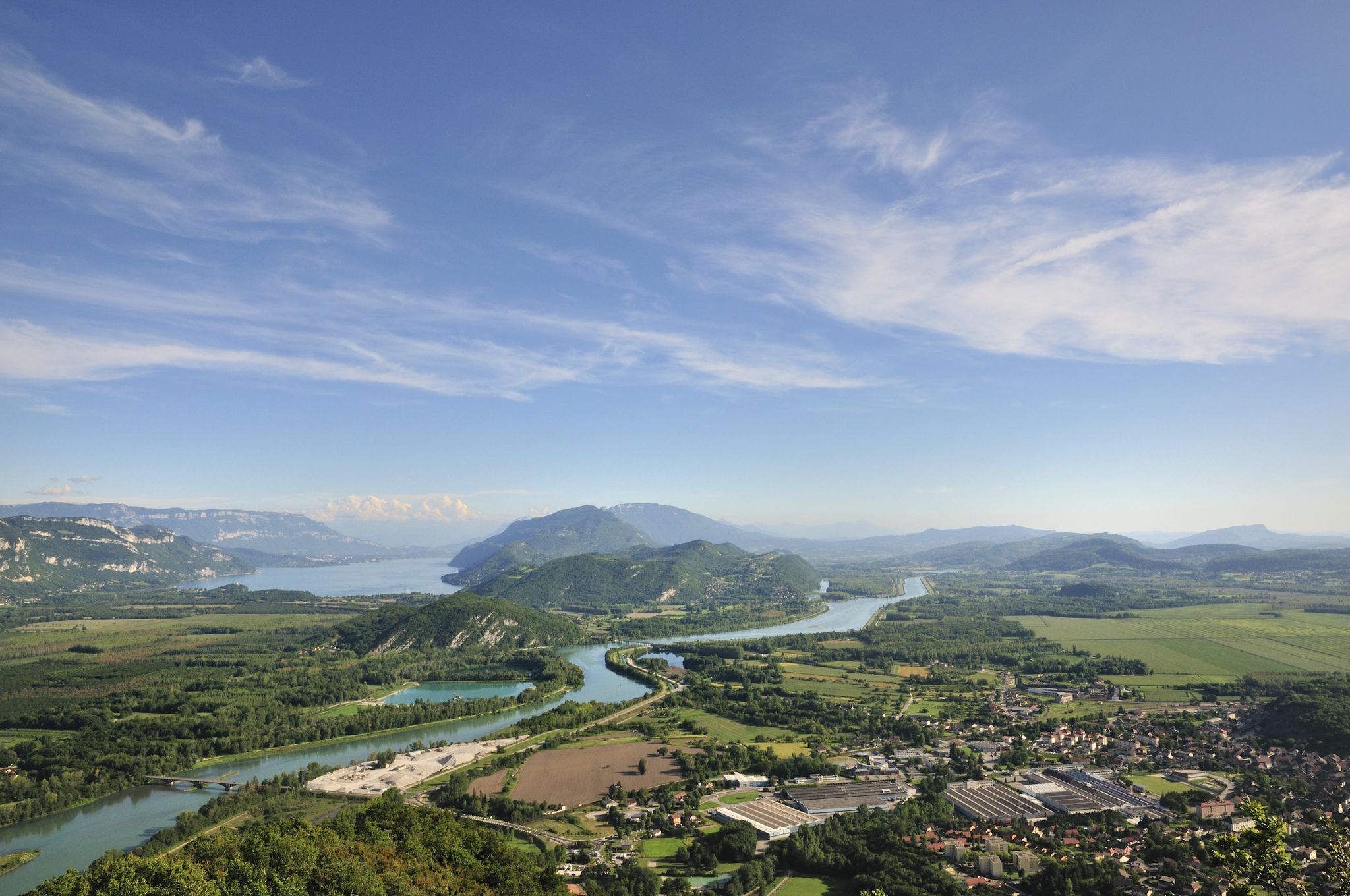
360-degree panorama from the Grand Colombier cross located a few meters below the summit located a little further north. (1524 meters). Impressive panorama of the Alps and view of the 3 French Alpine lakes.
0
0
Rocky cliff “Virgin de la Combe”
0
0
Intersection near the Roche de Chanduraz in the Grand Colombier massif offering a view of Lake Bourget.
0
0
A few kilometers south of the Grand Colombier, this pass at 1316 meters is at the intersection of the Arvière valley, the Grand Colombier and the Sur Lyand ridges.
0
0
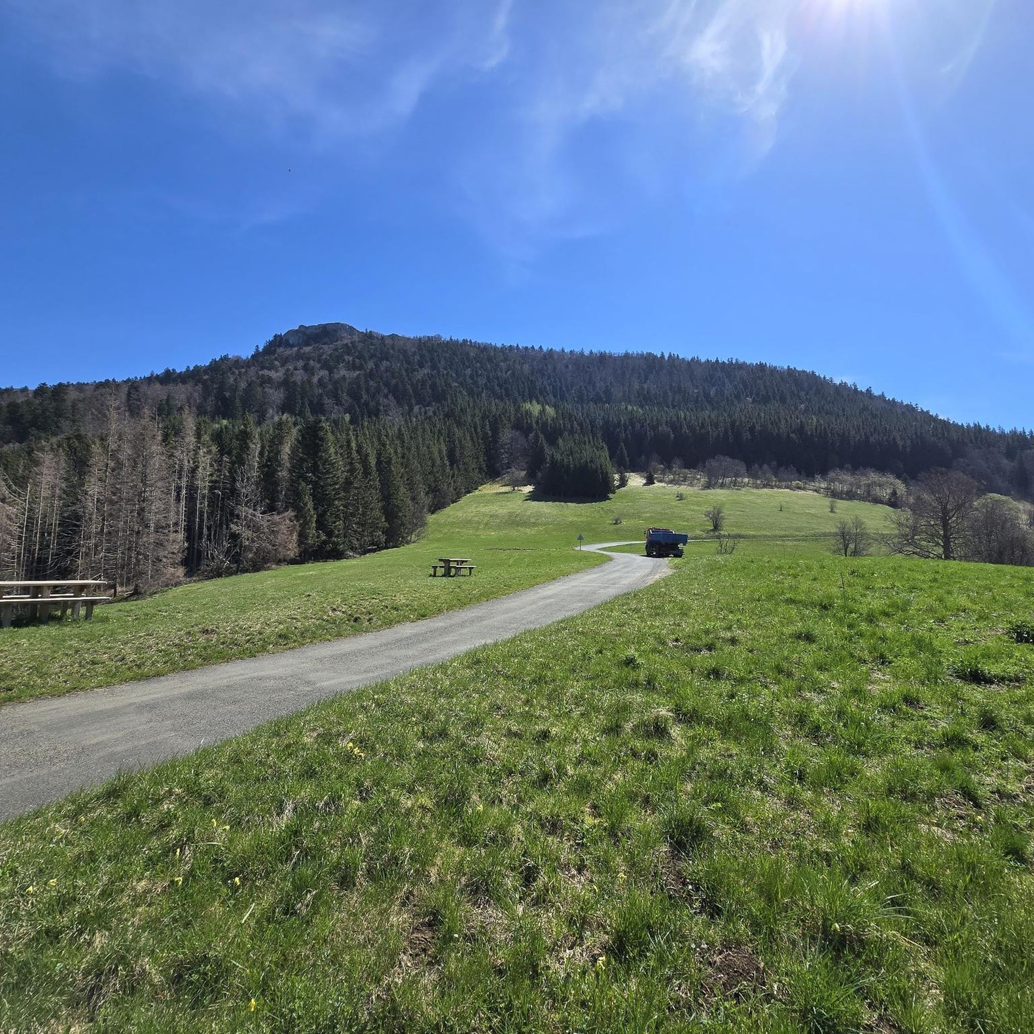
Start of the hike with a view of the Grand Colombier from the ruins of La Grange d’en bas. Parking on site.
0
0
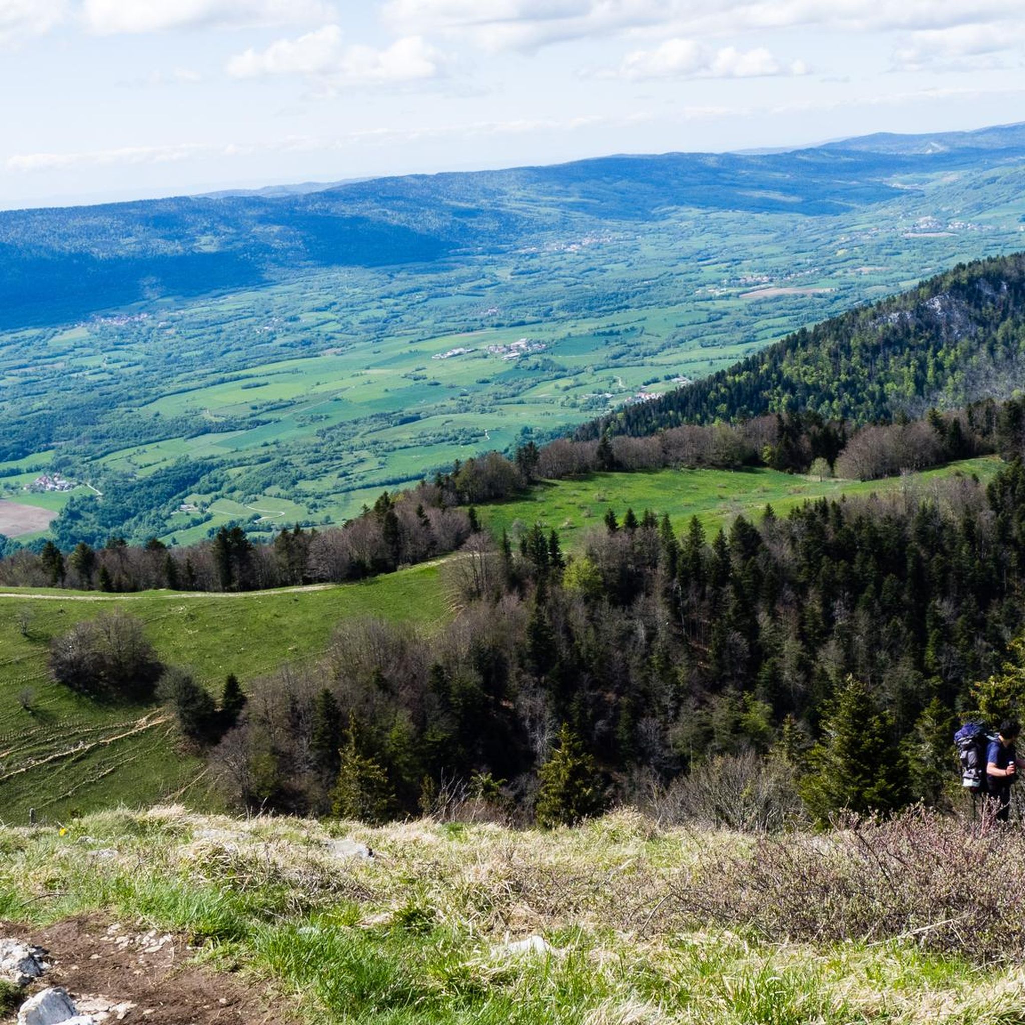
Ridges offering an exceptional panorama of the Alps and Mont Blanc on one side and the Arvière valley and Valromey on the other.
0
0

Every second Saturday in June, July, August and September. from 7 a.m. to 3 p.m., the climb to the Grand Colombier from Culoz is reserved for cyclists, without registration.
3
0

Long and difficult climb, fantastic views along the way. Spicy increase percentages.
4
1
Frequently Asked Questions
How many hiking trails are available around Virieu-Le-Petit?
There are over 180 hiking routes around Virieu-Le-Petit. These trails vary in difficulty, with 61 easy, 90 moderate, and 38 difficult options, ensuring there's something for every hiker.
What kind of landscapes can I expect to see while hiking in Virieu-Le-Petit?
The region is dominated by the Grand Colombier Massif, offering diverse landscapes from dense forests and expansive meadows to unique 'grangeons' (traditional agricultural buildings). You'll also encounter geological formations like the Gorges de Thurignin and the Canyon du Groin, shaped by limestone erosion.
Are there any viewpoints with panoramic views in the area?
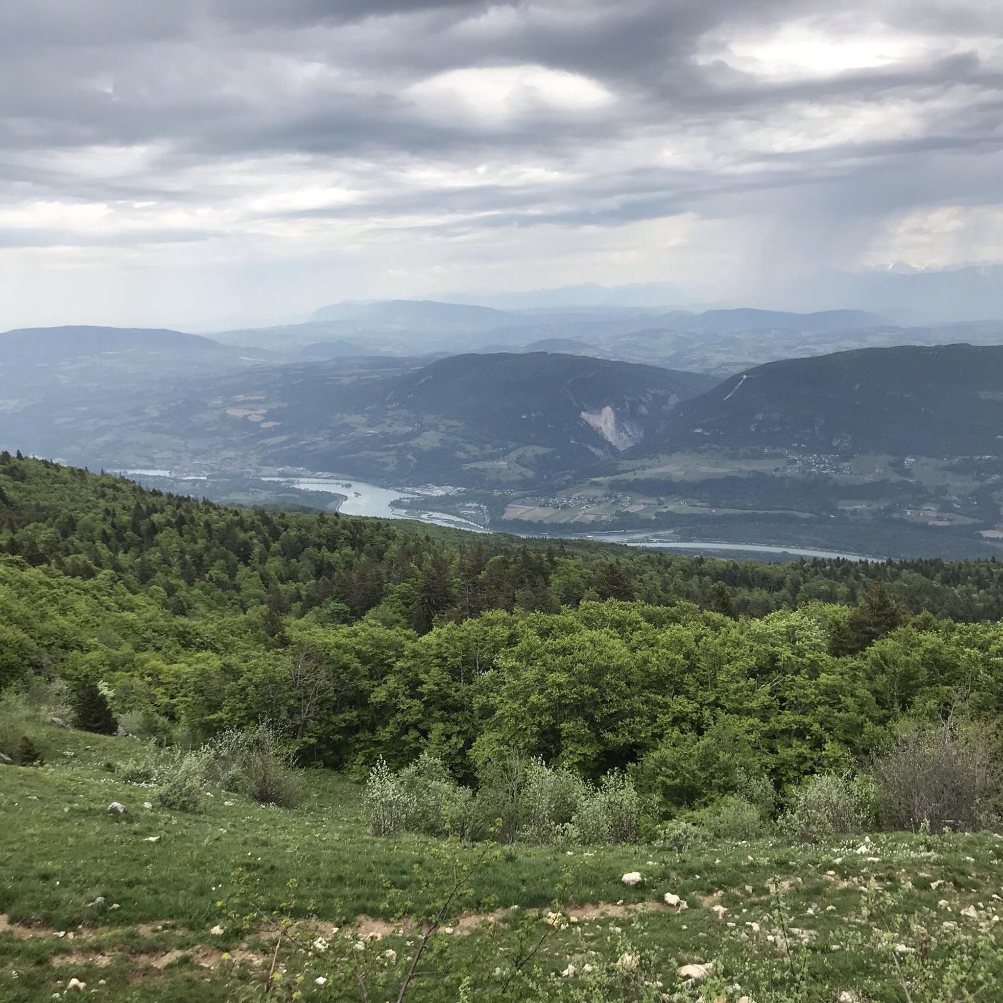
Yes, the Grand Colombier Massif provides breathtaking panoramic views that include the Alps, Mont Blanc, the Bugey region, the Rhône River, and several lakes like Bourget, Annecy, and Léman. The Grand Colombier Cross and orientation table and the Panoramic View of Grand Colombier, Culoz, and Lac du Bourget are excellent spots. The Roche de Chanduraz and the Belvédère de Sérémond also offer sweeping vistas.
Are there any waterfalls to visit near Virieu-Le-Petit?
Yes, the area is home to picturesque waterfalls. The Claire Fontaine Waterfall is an impressive tufa waterfall, particularly striking after heavy rains. You can also discover the Cerveyrieu Waterfall and the Melogne Waterfalls.
What is the best time of year to go hiking in Virieu-Le-Petit?
The region is enjoyable for hiking across multiple seasons. Spring and autumn offer pleasant temperatures and vibrant scenery, while summer is ideal for higher altitude trails. Some routes, particularly those in the Grand Colombier Massif, may be affected by snow in winter, so checking local conditions is advisable.
Are there any circular hiking routes available?
Yes, there are several circular routes. A popular option is the Grand Colombier Crests Circuit, which is a moderate 7 km trail. Another is the Charbemènes Pass – Chalet d'Arvière loop from Col du Grand Colombier, a moderate 13.9 km path.
Are there any family-friendly hiking options around Virieu-Le-Petit?
While specific family-designated trails aren't detailed, the region offers 61 easy routes that are generally suitable for families. The 'Boucle des alpages du Grand Colombier' is a 5km loop with a moderate elevation gain, which could be a good option for families looking for a shorter walk.
Can I bring my dog on the hiking trails?
Many trails in the Virieu-Le-Petit area are dog-friendly, but it's always recommended to keep your dog on a leash, especially in areas with livestock or protected wildlife. Check local signage for any specific restrictions on individual routes.
What do other hikers enjoy most about the trails in Virieu-Le-Petit?
The trails around Virieu-Le-Petit are highly rated by the komoot community, with an average score of 4.4 stars from over 550 reviews. Hikers often praise the diverse terrain, the stunning panoramic views from the Grand Colombier, and the well-maintained paths through forests and meadows.
Is there parking available at the trailheads?
While specific parking details for every trailhead are not provided, many popular starting points for hikes, especially those leading to the Grand Colombier or other significant landmarks, typically have designated parking areas. It's advisable to check the route details on komoot for specific parking information before you go.
Are there any other activities besides hiking in the Virieu-Le-Petit area?
Yes, the region offers other outdoor activities. The Col du Grand Colombier is a legendary route for cycling, even featured in the Tour de France. During summer, Lake Virieu-le-Grand provides opportunities for supervised swimming and fishing.
What is the most challenging hike in the area?
For a challenging experience, consider the En Prise – La vierge de la combe loop from Virieu-le-Petit. This difficult 14.4 km trail involves a significant elevation gain of over 900 meters and typically takes around 5 hours and 15 minutes to complete, leading through local hills and valleys.
Most popular routes around Virieu-Le-Petit
Most popular attractions around Virieu-Le-Petit

Get inspired with the komoot mobile app


Explore more
Browse the best Hikes in other regions.
