The best road cycling routes around Olivet
4.3
(313)
10,497
riders
23
rides
Road cycling around Olivet, Michigan, primarily utilizes country roads and local park paths within its rural setting. The terrain is generally flat to gently rolling, with minimal elevation changes across most routes. While dedicated road cycling infrastructure is limited, the area offers access to a network of multi-use trails and quiet roads suitable for cycling.
Best road cycling routes around Olivet
- The most popular road cycling route is Moulin du Bac – Mézières-lez-Cléry Castle loop from Olivet, a 25.5…
Last updated: October 22, 2026
5.0
(1)
91
riders
55.5km
02:11
80m
80m
Moderate road ride. Good fitness required. Mostly well-paved surfaces and easy to ride.
3.3
(3)
51
riders
41.1km
01:38
80m
80m
Easy road ride. Mostly well-paved surfaces and easy to ride.

5.0
(2)
38
riders
69.4km
03:08
160m
160m
Moderate road ride. Good fitness required. Some segments of this route may be unpaved and difficult to ride.
4.3
(4)
37
riders
23.5km
00:54
40m
40m
Easy road ride. Mostly well-paved surfaces and easy to ride.
5.0
(3)
32
riders
Moderate road ride. Some segments of this route may be unpaved and difficult to ride.
Get access to more routes and recommendations from other explorers.
Already have an account?
Our route recommendations are based on thousands of hikes, rides, and runs completed by other people on komoot.
Start today with a free account
Your next adventure awaits.


Tips from the Community

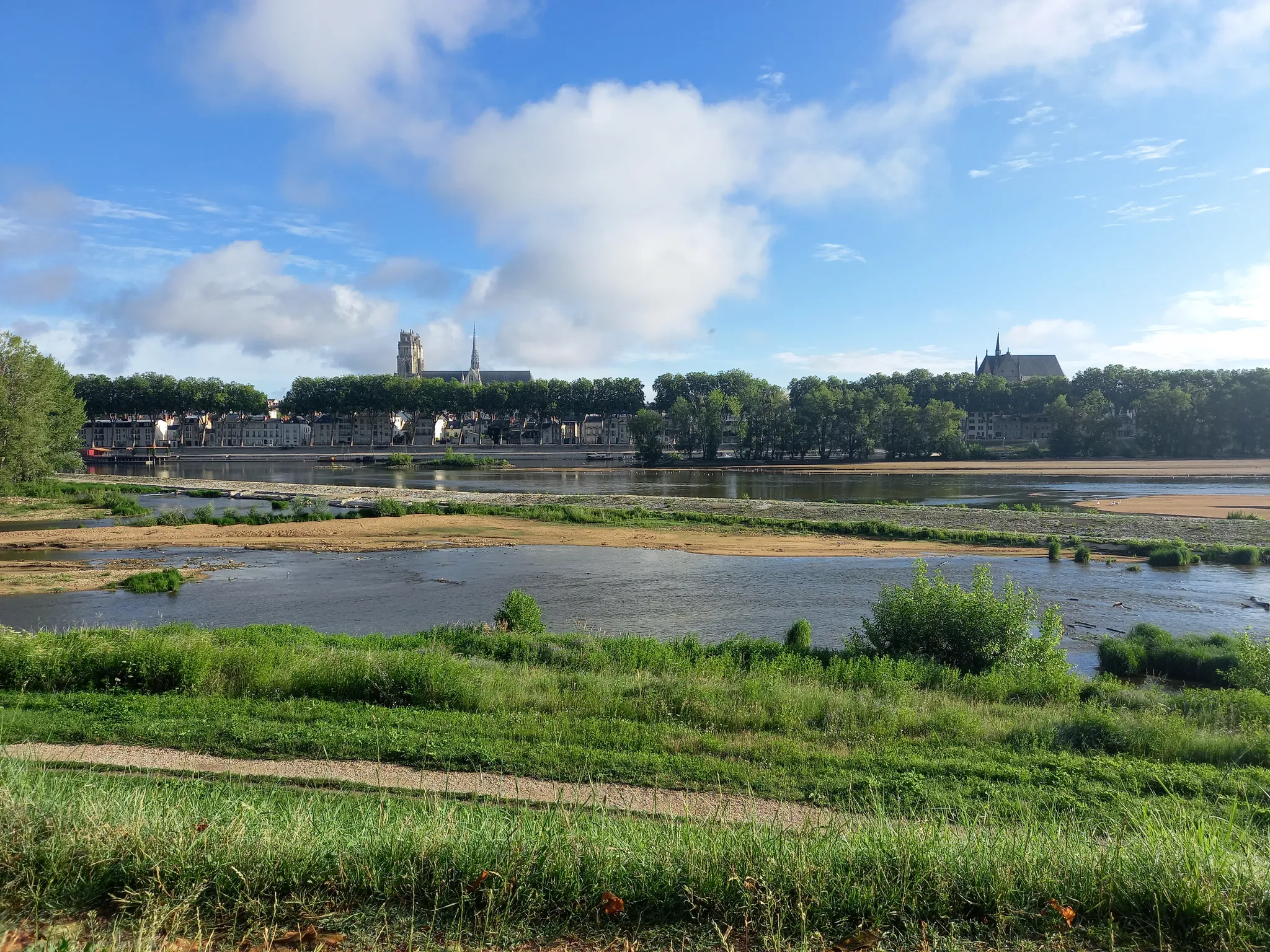
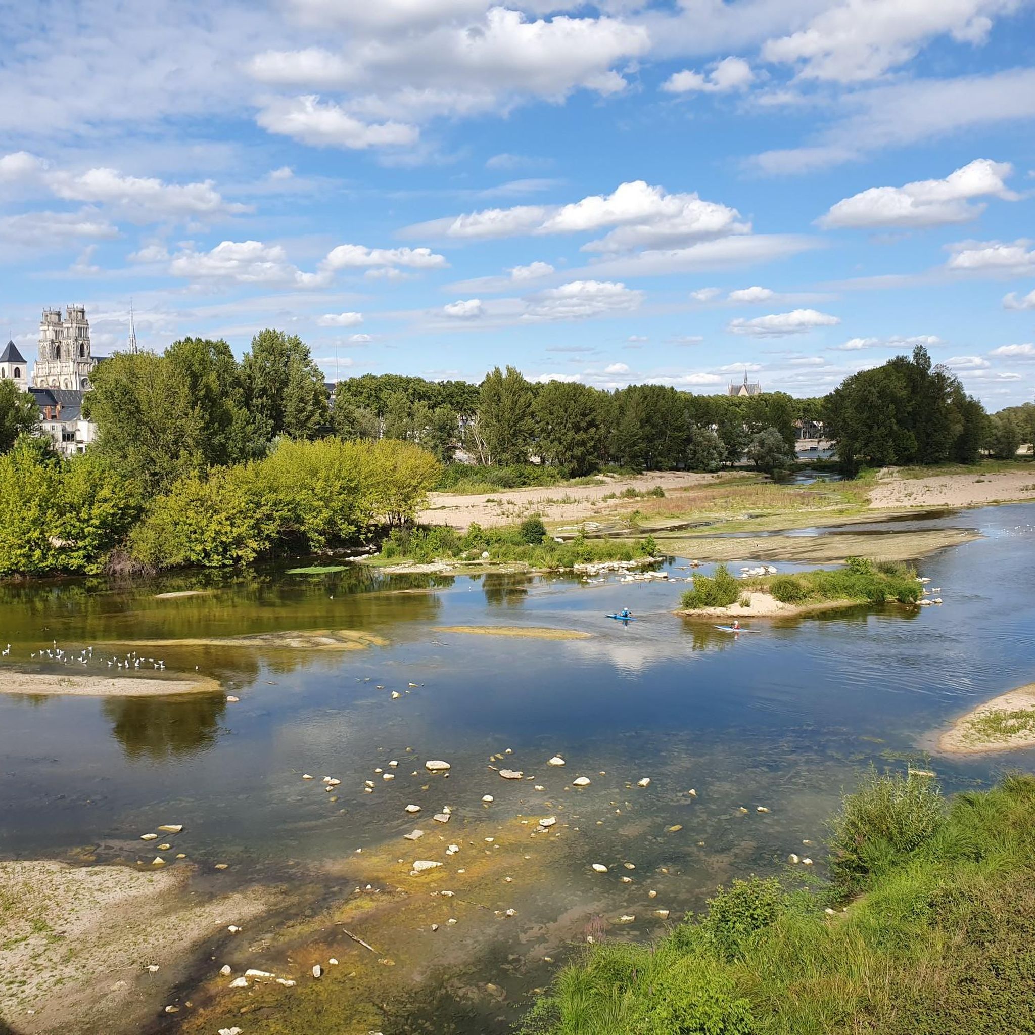
Orléans is a surprisingly nice city. What kind of city is it? I would describe Orléans as historically French, but lively. There are students living there, many shops and restaurants, and the center is quite compact. You'll find the historic center around Place du Martroi, Rue Jeanne d'Arc, and the Sainte-Croix cathedral. Many half-timbered houses, colorful facades, and charming streets. And yes: Jeanne d'Arc is pretty much everywhere there. She liberated Orléans in 1429 during the Hundred Years' War and has been inextricably linked to the city ever since. Her statue stands in the middle of Place du Martroi, and you'll find the Maison de Jeanne d'Arc there, among other things. Around Rue de Bourgogne and its side streets, there are many places to eat and drink. On the other side, you can walk towards the Loire and stroll along the quays.
1
0

On 12/05/2026, the trail along the Cosson, starting from Boucles 02 and 16, near the castle, is impassable. Works?
0
0

The place of the birds, a magnificent setting
0
0
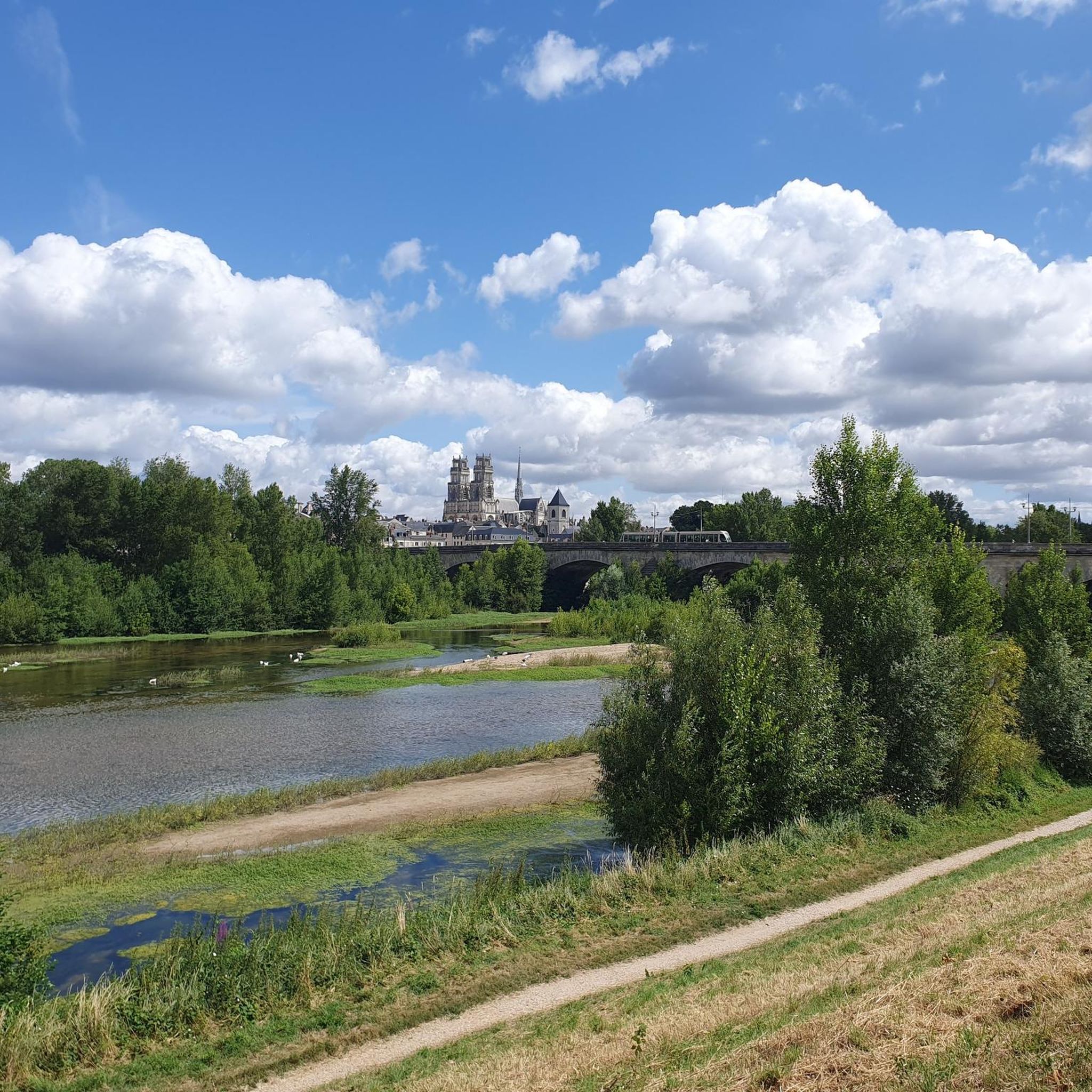
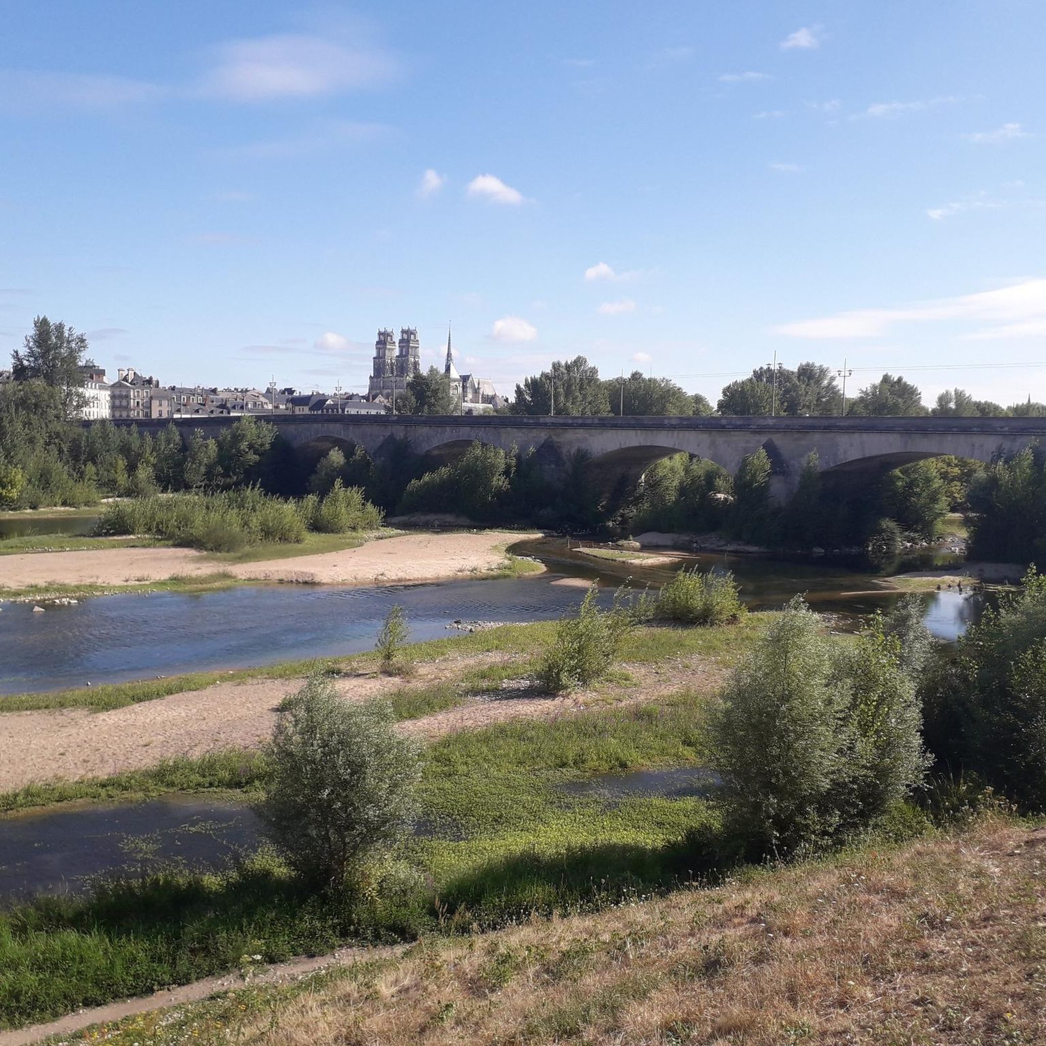
Near this Bridge: *Why the km 96 marker in Orléans?* (Quai du Châtelet) The km 96 marker in Orléans *corresponds neither to the distance from the source nor from the mouth of the river. It is part of a **local marking system* related to river navigation and 19th-century cartography. These markers were used to: - *Measure navigable sections* between two ports or cities (e.g., Orléans-Blois, Orléans-Tours). - *Calculate transport tariffs* for goods, as was done by "water coach plates" (the fluvial equivalent of road markers for stagecoaches).
0
0

Nice little place to have a coffee. However, it's €3 for a coffee...
0
0

This beautiful, very quiet, straight line with little traffic immerses you in the orchards and vineyards of the banks of the Loire.
1
0

Pleasant street for cycling or walking, but be careful of certain narrow passages and car traffic.
0
0
Frequently Asked Questions
How many road cycling routes are available around Olivet?
There are over 25 road cycling routes around Olivet, offering a variety of options for different skill levels. You'll find 16 easy routes and 11 moderate routes to explore.
What kind of terrain can I expect on road cycling routes near Olivet?
The terrain around Olivet is generally flat to gently rolling, with minimal elevation changes across most routes. You'll primarily be cycling on rural country roads and local park paths, with access to regional multi-use trails.
Are there any circular road cycling routes in Olivet?
Yes, many routes around Olivet are circular, allowing you to start and end in the same location. Examples include the popular Moulin du Bac – Mézières-lez-Cléry Castle loop from Olivet and the La Source Floral Park – La Ferté-Saint-Aubin Castle loop from Olivet.
What are some scenic points of interest I can see while cycling around Olivet?
While cycling, you can encounter various points of interest. The La Source Floral Park – La Ferté-Saint-Aubin Castle loop from Olivet leads through rural landscapes and past notable sites. Other routes might bring you near landmarks like the Sainte-Croix d'Orléans Cathedral, the Europe Bridge, or the Isle Castle.
Are there any longer road cycling routes for experienced riders?
For those seeking longer rides, routes like the Saint-Mesmin Nature Reserve – Beaugency Bridge loop from Olivet offer a moderate challenge, covering over 30 miles (50 km) with some elevation gain.
What is the best time of year for road cycling in Olivet?
The moderate climate around Olivet makes it pleasant for cycling year-round. However, spring and fall often offer the most comfortable temperatures and beautiful scenery for exploring the country roads and park paths.
What do other road cyclists say about the routes in Olivet?
The routes in Olivet are highly rated by the komoot community, with an average score of 4.5 stars from over 110 reviews. Cyclists often praise the quiet country roads and the variety of easy to moderate loops available.
Are there any easy road cycling routes suitable for beginners or a relaxed ride?
Absolutely. Many routes are designed for easy cycling, such as the Roadbike loop from Atos, which is an easy 14.6 miles (23.5 km) path featuring flat terrain, perfect for a relaxed experience. The The Saint-Charles duit loop from Olivet is another easy, shorter option.
Can I find routes that pass by natural attractions?
Yes, some routes offer views of natural features. For instance, the Saint-Mesmin Nature Reserve – Beaugency Bridge loop from Olivet passes by the Saint-Mesmin Nature Reserve. You might also encounter the Confluence of the Loire and the Loiret on some rides.
Are the road cycling routes around Olivet suitable for families?
Many of the easy and flat routes, particularly those on local park paths or quieter country roads, can be suitable for families. Always check the route details for distance and elevation to ensure it matches your family's ability.
Where can I find parking for road cycling routes in Olivet?
While specific parking areas for each route are not detailed here, road cycling routes often start from accessible points within Olivet or nearby towns. Look for public parking facilities near the beginning of your chosen route, especially near parks or town centers.
Most popular attractions around Olivet

Get inspired with the komoot mobile app


Explore more
Browse the best Road cycling routes in other regions.
