The best MTB trails around Boigny-Sur-Bionne
4.3
(395)
1,787
riders
113
rides
Mountain bike trails around Boigny-sur-Bionne are characterized by a diverse landscape, offering a mix of forest paths and riverside routes. The region borders the extensive Forêt Domaniale d'Orléans, providing a network of trails suitable for off-road cycling. The Bionne river traverses the commune, adding riparian elements to the routes, while proximity to the Canal d'Orléans offers additional cycling infrastructure. This blend of natural features provides varied terrain for mountain biking.
Best mountain bike trails around Boigny-sur-Bionne
- The most popular mountain…
Last updated: October 21, 2026
4.4
(15)
73
riders
Moderate mountain bike ride. Good fitness required.
4.2
(17)
80
riders
23.1km
01:19
70m
70m
Easy mountain bike ride.

4.3
(24)
27
riders
26.2km
01:33
80m
80m
Easy mountain bike ride.
4.4
(13)
20
riders
30.3km
01:55
90m
90m
Easy mountain bike ride.
5.0
(4)
24
riders
Easy mountain bike ride.
Get access to more routes and recommendations from other explorers.
Already have an account?
Our route recommendations are based on thousands of hikes, rides, and runs completed by other people on komoot.
Start today with a free account
Your next adventure awaits.

Tips from the Community

Combleux, designated as a Village de caractère du Loiret, is located in the Loire Valley, just 6 km from Orléans. The municipality is crossed by the Loire River and the Orléans Canal, which allowed it to develop. This charming little village of former boatmen has preserved many traces of this intense river transport activity. The municipality is at the heart of the Loiret au fil de l’eau and is located on the developed route of the Orléans Canal.
0
0

Orléans is a surprisingly nice city. What kind of city is it? I would describe Orléans as historically French, but lively. There are students living there, many shops and restaurants, and the center is quite compact. You'll find the historic center around Place du Martroi, Rue Jeanne d'Arc, and the Sainte-Croix cathedral. Many half-timbered houses, colorful facades, and charming streets. And yes: Jeanne d'Arc is pretty much everywhere there. She liberated Orléans in 1429 during the Hundred Years' War and has been inextricably linked to the city ever since. Her statue stands in the middle of Place du Martroi, and you'll find the Maison de Jeanne d'Arc there, among other things. Around Rue de Bourgogne and its side streets, there are many places to eat and drink. On the other side, you can walk towards the Loire and stroll along the quays.
1
0
Between the Loire and the forest, the commune of Mardié is part of the Métropole Orléans Val de Loire, forming its eastern entrance, 12 km from the center of Orléans. With a long history largely marked by viticulture, part of its territory belongs to the Loire Valley section classified as a UNESCO World Heritage site. Quite vast, the commune has an area of 17.3 km² and stretches for about 12 km from Northwest to Southeast with a width of only 4 to 5 km. The relief is marked only by the slopes that delimit the valleys of the Loire and the river Cens, doubled by the Canal d'Orléans. The altitude is between 100 and 120 m. The landscapes are varied and have a lot of character. "Natural" landscapes with the banks of the Loire, the canal and the Cens valley, vast cultivated areas and very extensive woods. Inhabited landscapes with the town center, clustered around a beautiful Romanesque church, a lively district in Pont-aux-Moines with its small shops, very green and airy residential areas, some important hamlets that have retained traditional rural housing mixed with more recent constructions. The commune benefits from the main services and shops, and is well served by public transport to Orléans. Despite demographic growth, which remains controlled (just under 3000 inhabitants), it has retained a fairly marked rural character and remains, in many respects, a village where life is good.
0
0

To do on a mountain bike or walking trip to see the scenery
0
0
A charming place for a walk, hike, jog, or bike ride, as you choose!
0
0

Nice little place to have a coffee. However, it's €3 for a coffee...
0
0

A true must-see, the banks of the Loire are sometimes congested, particularly on the outskirts of towns and villages where cohabitation with pedestrians is not always considered.
1
0
Renovated, the Orléans Canal is a long, peaceful, and very flowing ribbon.
1
0
Frequently Asked Questions
How many mountain bike trails are available around Boigny-sur-Bionne?
There are over 130 mountain bike trails around Boigny-sur-Bionne. These routes explore the diverse landscapes of the Forêt d'Orléans, the Bionne river, and the Canal d'Orléans, offering options for various skill levels.
Are there easy mountain bike trails suitable for beginners or families?
Yes, Boigny-sur-Bionne offers a good selection of easy mountain bike trails. You'll find 47 easy routes, many of which follow the gentle paths along the Canal d'Orléans. An example is the Combleux – Combleux Port loop from Chécy, which is 23.6 km long and offers scenic views along the waterway.
Where can I find challenging mountain bike trails in the area?
For more challenging rides, the Forêt d'Orléans provides diverse terrain with rocky sections, sandy paths, and singletracks that can be technical, especially after rain. While most routes are easy to moderate, there are 4 difficult trails for experienced riders seeking a greater challenge.
Are there any circular mountain bike routes around Boigny-sur-Bionne?
Yes, many of the mountain bike routes in the area are circular, allowing you to start and end at the same point. Popular loops include the moderate Château de la Ferté-Vidame – Étang de la Charbonnière loop from Marigny-les-Usages (35.7 km) and the easy View of the Lock – Combleux loop from Boigny-sur-Bionne (26.2 km).
What kind of scenery can I expect on mountain bike trails near Boigny-sur-Bionne?
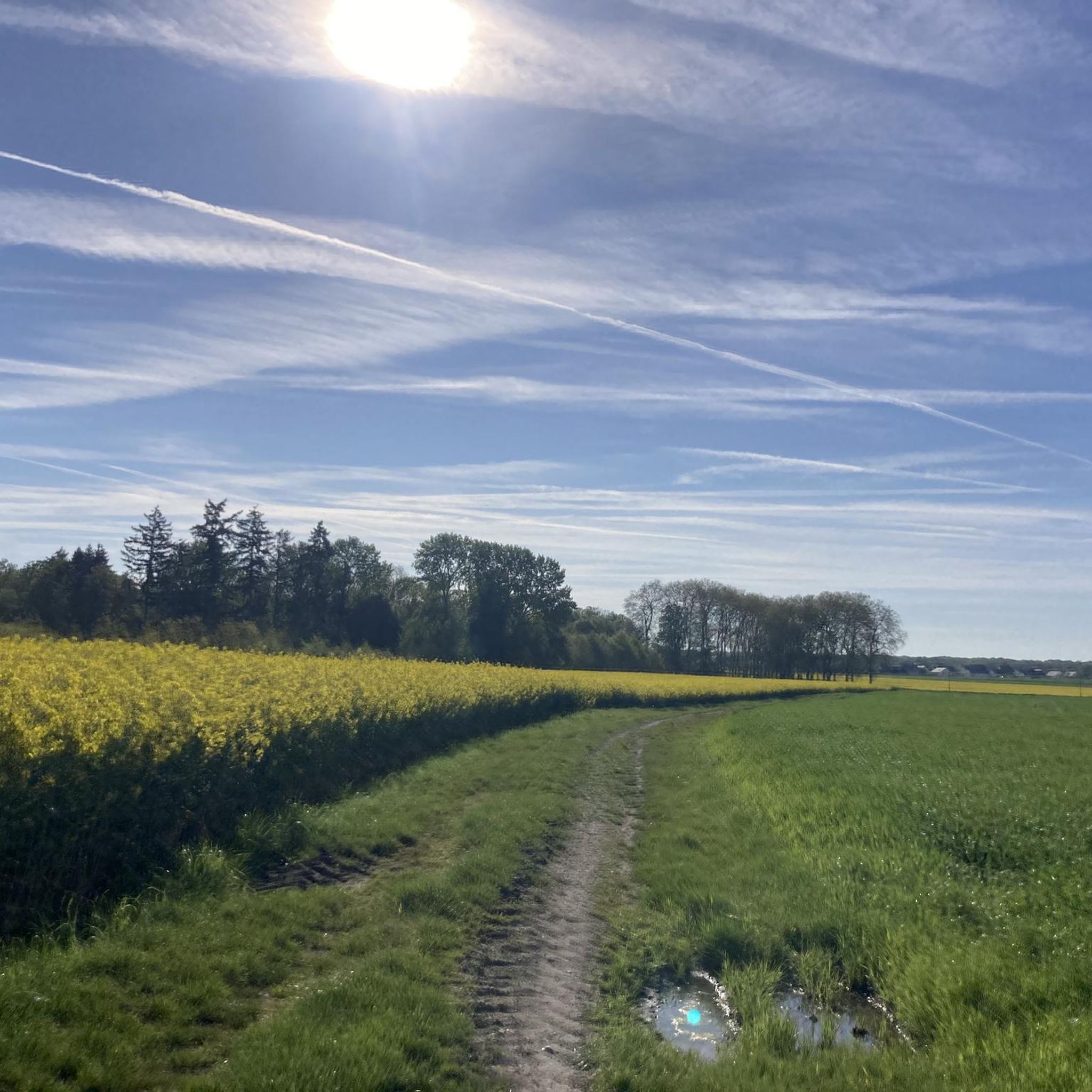
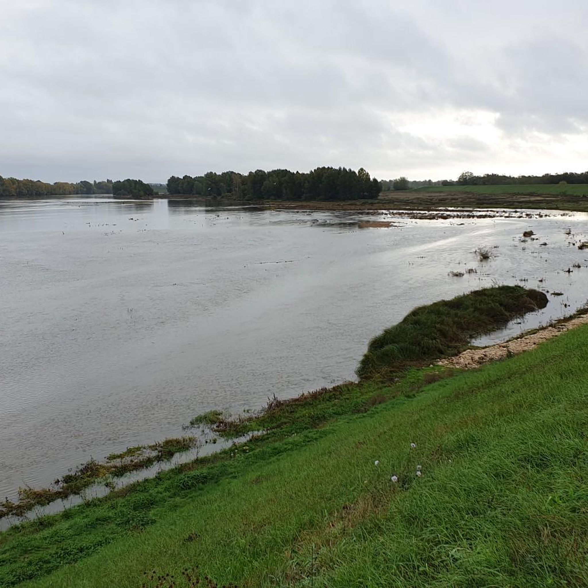
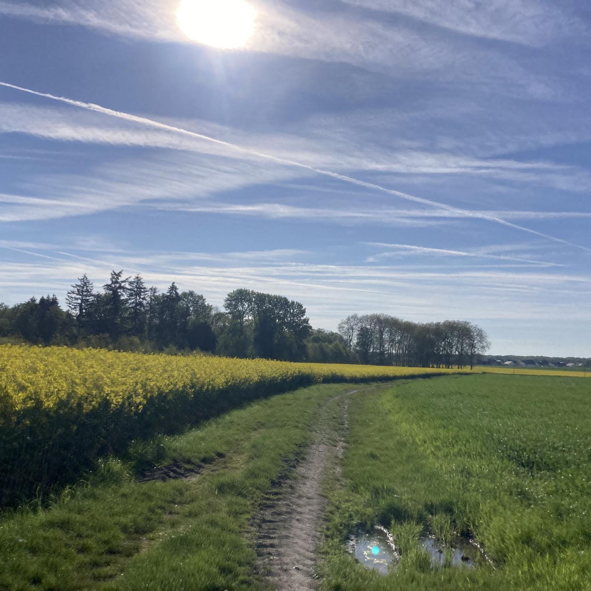
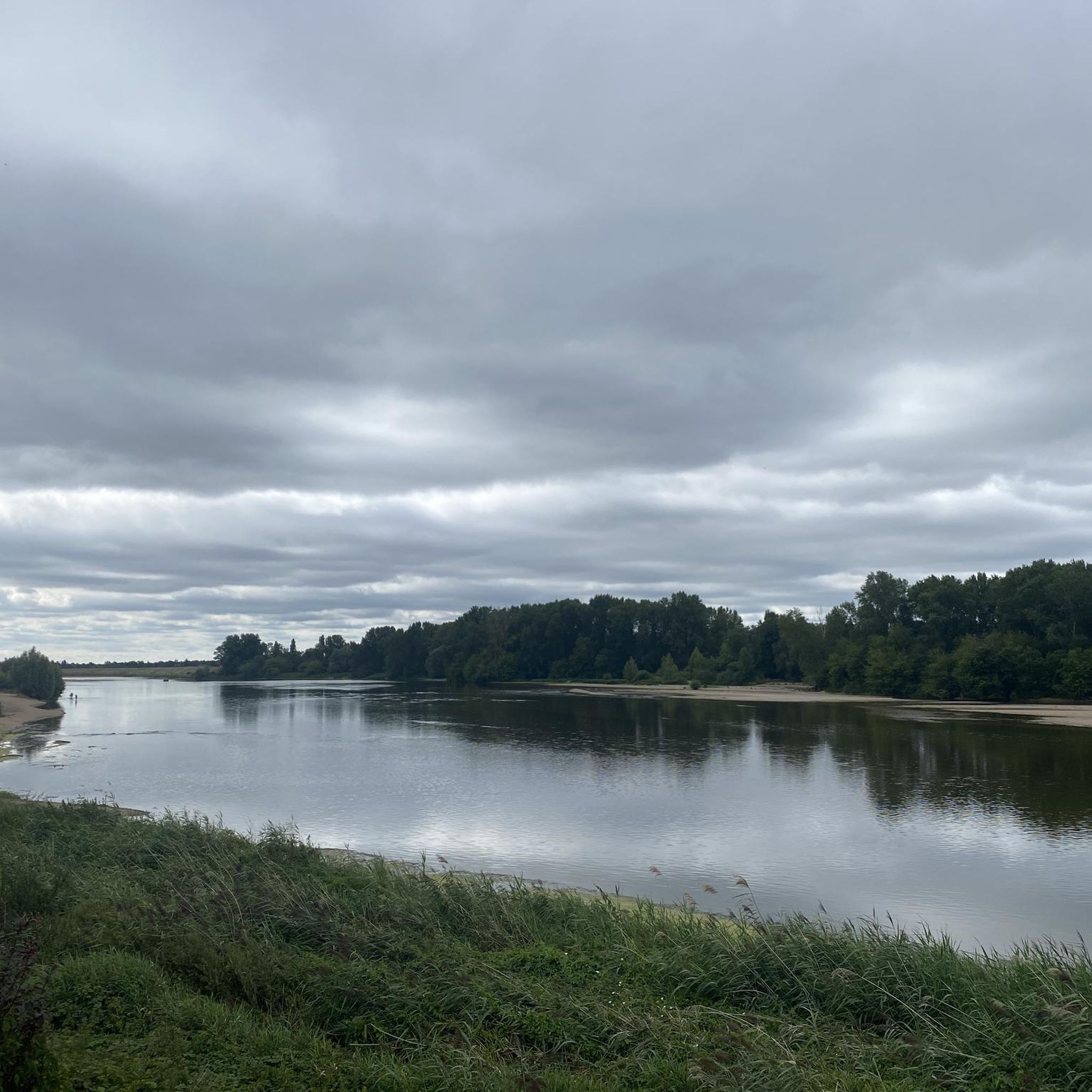
You can expect varied scenery, ranging from dense forest paths within the Forêt d'Orléans to tranquil riverside and canal-side routes. The area features natural elements like the Bionne river and the Canal d'Orléans, offering a mix of wooded landscapes and open water views.
What are some interesting landmarks or attractions to see along the mountain bike trails?
While riding, you can encounter several points of interest. Some routes pass by the Isle Castle or offer views of the Canal d'Orléans in Combleux. Near Orléans, you can also find the Europe Bridge and the Sainte-Croix d'Orléans Cathedral.
Are there any lakes or ponds accessible by mountain bike in the region?
Yes, several routes lead to or pass by local bodies of water. For instance, the Étang de la Charbonnière – Château de la Ferté-Vidame loop from Boigny-sur-Bionne includes the Charbonnière Woods Pond. Other notable lakes in the vicinity include the Île Charlemagne Pond and the Grand Étang.
What do other mountain bikers say about the trails in Boigny-sur-Bionne?
The mountain bike trails around Boigny-sur-Bionne are highly rated by the komoot community, with an average score of 4.3 stars from nearly 500 reviews. Over 2000 mountain bikers have explored the area, often praising the varied terrain and the peaceful forest and canal-side environments.
How long do mountain bike trails typically take to complete?
Trail durations vary significantly based on length and difficulty. Easy routes like the 23.6 km Combleux – Combleux Port loop from Chécy can take around 1 hour 20 minutes, while moderate trails such as the 35.7 km Château de la Ferté-Vidame – Étang de la Charbonnière loop from Marigny-les-Usages might take closer to 2 hours 40 minutes.
What is the best time of year for mountain biking in Boigny-sur-Bionne?
The region is generally suitable for mountain biking throughout much of the year. Spring and autumn offer pleasant temperatures and vibrant scenery. During wetter periods, some forest trails can become muddy and rutted, adding a technical challenge, while canal paths remain more accessible.
Are there any less crowded mountain bike trails or areas to explore?
The extensive Forêt d'Orléans offers a vast network of paths, allowing for exploration away from more popular spots. While specific less crowded trails aren't highlighted, venturing deeper into the forest or exploring some of the less-trafficked canal sections can provide a more solitary experience.
Most popular routes around Boigny-Sur-Bionne
Most popular attractions around Boigny-Sur-Bionne

Get inspired with the komoot mobile app


Explore more
Browse the best MTB trails in other regions.
