The best running trails around Aurel
4.6
(44)
4,241
runners
168
runs
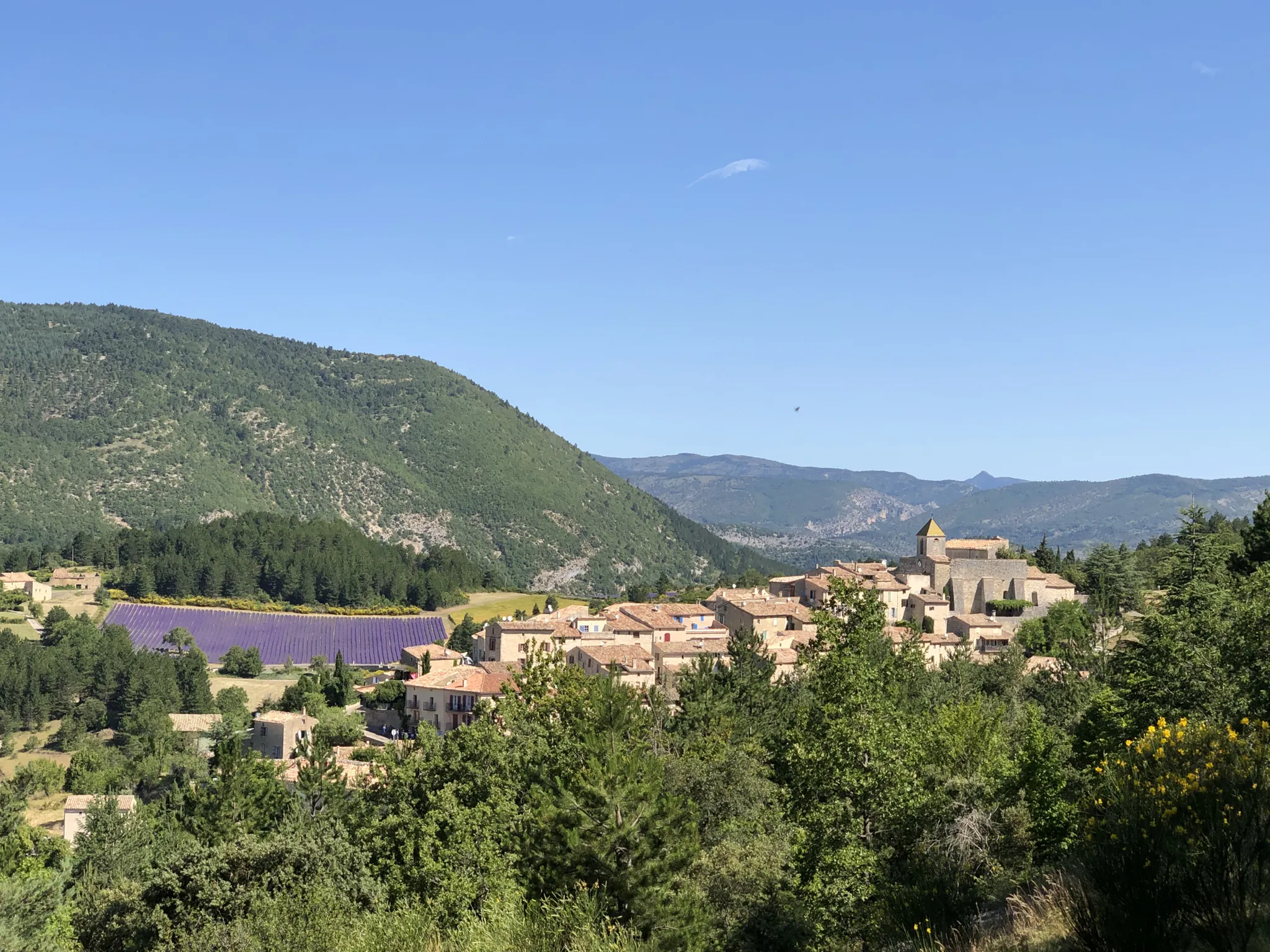
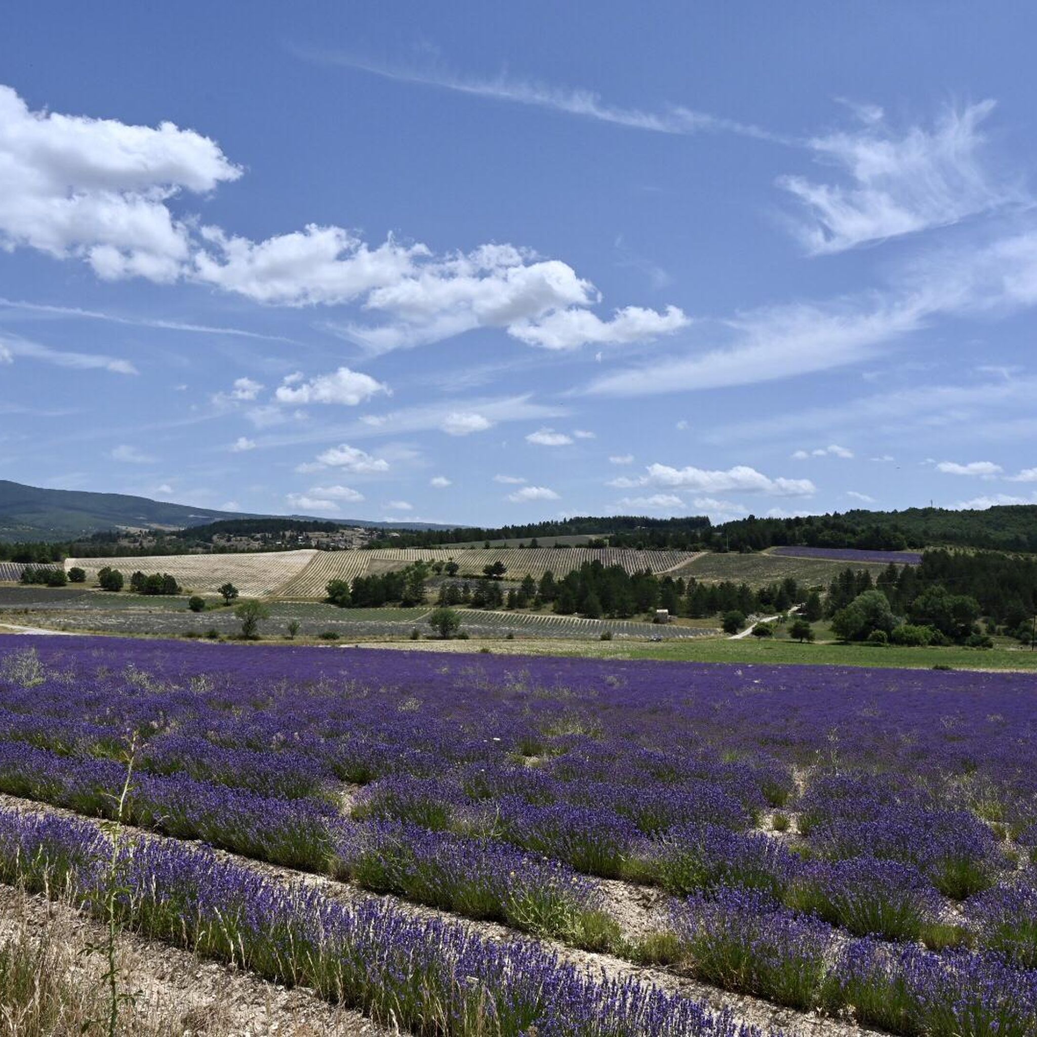
Jogging around Aurel offers routes characterized by significant elevation changes and mountainous terrain, primarily centered around Mont Ventoux. The landscape features prominent peaks, challenging ascents, and panoramic views. Runners can expect trails that traverse exposed mountain slopes and forested sections. This region provides a demanding environment for running, with routes often involving substantial climbs.
Best jogging routes around Aurel
- The most popular jogging route is Summit of Mont Ventoux – Trail du Ventouret loop from Chalet Reynard, a 8.6…
Last updated: October 30, 2026
4.5
(2)
204
runners
13.8km
01:55
540m
530m
Hard run. Very good fitness required. Sure-footedness, sturdy shoes and alpine experience required.
5.0
(3)
134
runners
15.5km
02:17
750m
750m
Hard run. Very good fitness required. Mostly paved surfaces.

192
runners
Hard run. Very good fitness required. Mostly paved surfaces.
61
runners
12.1km
01:39
510m
520m
Hard run. Very good fitness required. Mostly paved surfaces.
71
runners
Hard run. Very good fitness required. Mostly paved surfaces.
Get access to more routes and recommendations from other explorers.
Already have an account?
Our route recommendations are based on thousands of hikes, rides, and runs completed by other people on komoot.
Start today with a free account
Your next adventure awaits.


Tips from the Community

The" mountain of Provence for hikers and (road) cyclists. At the top, in good weather, you have an incomparable view. You feel like the world is at your feet.
1
0

From the summit of Ventoux, numerous viewpoints allow you to admire the natural parks of the Baronnies, Ventoux, or the Luberon. Here, you are facing the Écrins massif which literally unfolds before your eyes.
1
0

Here you usually take the photo.
8
0
Spectacular view from this point.
8
0
The view from the top is sublime.
4
0
The last hairpin bend and then you are at the top.
8
0

Fantastic view - great ascent in a wonderful landscape
0
0

Breathtaking ride through this unique moonscape.
0
0
Frequently Asked Questions
What is the typical terrain and difficulty level for running routes around Aurel?
Running routes around Aurel are primarily characterized by significant elevation changes and mountainous terrain, centered around Mont Ventoux. You can expect challenging ascents, exposed mountain slopes, and forested sections. The majority of routes are rated as difficult, with 81 out of 153 routes falling into this category, offering a demanding environment for experienced runners.
Are there any easier running routes available in Aurel for beginners?
While Aurel is known for its challenging, difficult routes, there are a few easier options. The guide data indicates there are 3 routes classified as easy and 69 as moderate. These might offer less strenuous alternatives, though the region's overall character is geared towards more experienced runners seeking substantial climbs.
What are some options for long-distance running in Aurel?
For long-distance running, Aurel offers several challenging routes. One notable option is the Stele dedicated to Tom Simpson – Pass of Storms loop from Notre Dame des Anges, which spans 34.8 kilometers (21.6 miles) with over 900 meters of elevation gain. Another significant route is the Mont Ventoux – Mont Ventoux loop from Chalet Reynard Haut, covering 24.8 kilometers (15.4 miles) with over 1350 meters of climbing.
Are there any circular running routes in Aurel?
Yes, many of the running routes in Aurel are designed as loops, allowing you to start and finish at the same point. Examples include the challenging Summit of Mont Ventoux – Trail du Ventouret loop from Chalet Reynard and the Mont Ventoux – Mont Ventoux loop from Chalet Reynard. These circular paths are ideal for exploring the region's mountainous scenery.
What natural landmarks or viewpoints can I expect to see along the running trails in Aurel?
The running trails in Aurel offer breathtaking natural landmarks and panoramic viewpoints, primarily centered around Mont Ventoux. You can experience the iconic Mont Ventoux summit itself, offering expansive views. Other notable features include the Fontaube Pass, the dramatic Pass of Storms, and the scenic Toulourenc Valley. Many routes also traverse the final 6 km to the summit of Mont Ventoux, a famous climb.
Is parking available near the running trails in Aurel?
Yes, parking is generally available at common starting points for routes in Aurel, such as Chalet Reynard. Many of the listed routes, like the loops from Chalet Reynard, indicate this as a convenient starting and parking location. It's always advisable to check specific route details for precise parking information.
How accessible are Aurel's running routes by public transport?
The guide data does not explicitly detail public transport access for the running routes in Aurel. Given the mountainous and somewhat remote nature of the Mont Ventoux area, public transport options directly to trailheads might be limited. It's recommended to research local bus services or consider driving to access the starting points of most routes.
Are the running routes around Aurel suitable for families?
The majority of running routes around Aurel are characterized by significant elevation changes and are rated as difficult, making them more suitable for experienced runners. While there are a few easier routes, the region's terrain might be challenging for younger children or families seeking very gentle, flat paths. It's best to check the difficulty rating and elevation profile of individual routes before planning a family outing.
Can I bring my dog on the running trails in Aurel?
The guide data does not specify restrictions regarding dogs on the running trails in Aurel. Generally, in natural areas, dogs are often permitted but may be required to be on a leash, especially in protected zones or during certain seasons. It's always best to check local regulations or park rules for Mont Ventoux and surrounding areas to ensure a pleasant and compliant experience with your dog.
What do other runners enjoy most about jogging in Aurel?
The running routes in Aurel are highly rated by the komoot community, with an average score of 4.6 stars from over 34 reviews. Runners frequently praise the challenging nature of the trails, the significant elevation gains, and the expansive mountain scenery, particularly around Mont Ventoux. The demanding environment is a major draw for those seeking a rigorous and rewarding running experience.
What is the best time of year for running in Aurel?
The guide data does not explicitly state the best time of year. However, given the mountainous terrain of Mont Ventoux, spring and autumn generally offer more temperate conditions for running, avoiding the intense heat of summer and the potential snow and ice of winter at higher elevations. Always check weather conditions, especially for high-altitude routes, before heading out.
Most popular attractions around Aurel

Get inspired with the komoot mobile app


Explore more
Browse the best Running Trails & Routes in other regions.
