The best running trails around Saint-Denis-En-Bugey
4.1
(63)
4,116
runners
335
runs
Jogging around Saint-Denis-En-Bugey offers diverse terrain, characterized by a blend of mountains, forests, vineyards, and waterways. The region features wooded areas with marked trails, limestone cliffs, and high plateaus, providing varied environments for runners. Routes often incorporate the Albarine and Ain Rivers, alongside paths winding through vineyards. This combination of natural features ensures a range of running experiences within the scenic Bugey region.
Best jogging routes around Saint-Denis-En-Bugey
- The most popular jogging route is Source of the Gardon – Lac…
Last updated: October 31, 2026
5.0
(2)
65
runners
13.1km
01:31
240m
240m
Moderate run. Good fitness required. Mostly paved surfaces.
15
runners
Hard run. Very good fitness required. Mostly paved surfaces.

14
runners
11.0km
01:12
120m
120m
Moderate run. Good fitness required. Mostly paved surfaces.
3.0
(1)
14
runners
14.9km
01:45
300m
300m
Hard run. Very good fitness required. Mostly paved surfaces.
10
runners
8.57km
01:00
170m
170m
Moderate run. Good fitness required. Mostly paved surfaces.
Get access to more routes and recommendations from other explorers.
Already have an account?
Our route recommendations are based on thousands of hikes, rides, and runs completed by other people on komoot.
Start today with a free account
Your next adventure awaits.

Tips from the Community

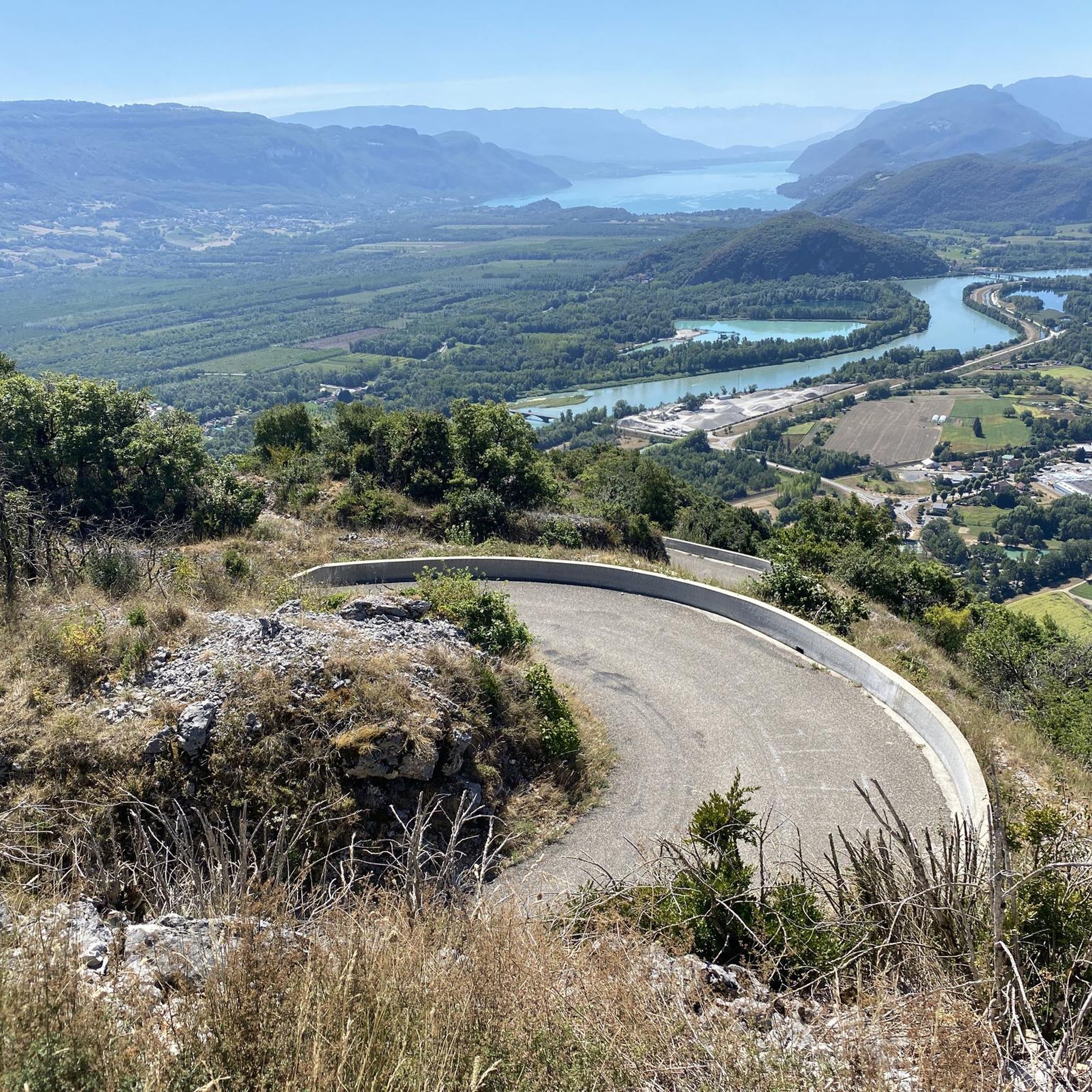
attention on the trail lots of people during the summer period
0
0

This spot didn't impress me: "blue lake" is an exaggeration, it's a very small reservoir... lots of people on the banks too.
0
1
Smaller pond than lake..more green than blue. Average.
0
0

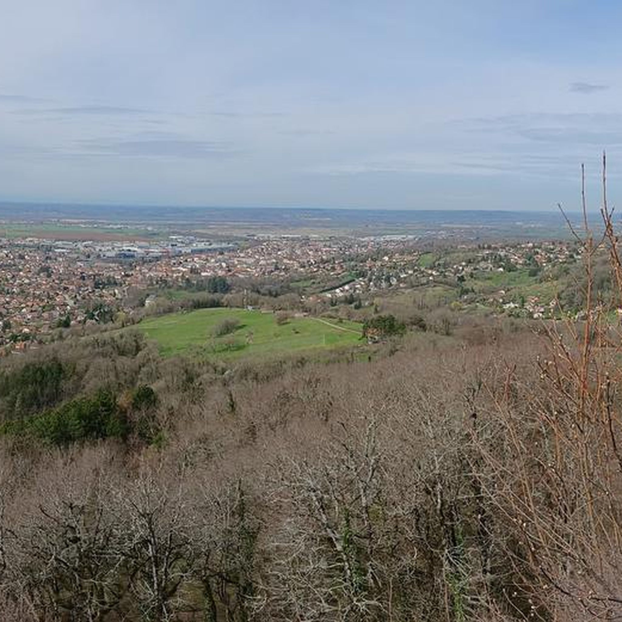
Wonderful historic tower dominating the town of Amberieu in Bugey with its marshalling yard
0
0

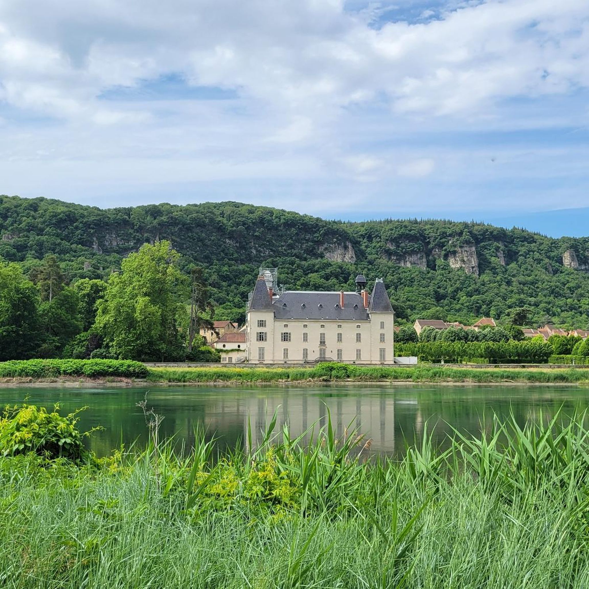
Blue Lake, as you can imagine, owes its name to the bright shades of blue that its water takes on. The bridge that spans the lake makes it look bigger than it is, but it is actually the dam that creates the lake on the Gardon River.
3
0
Lac Bleu, as you can imagine, owes its name to the bright shades of blue that its water takes on. The bridge over the lake almost makes it look bigger than it is, but in fact the bridge is the dam that creates the lake on the Gardon River.
2
1
Frequently Asked Questions
How many jogging routes are available around Saint-Denis-En-Bugey?
There are over 360 running routes in the Saint-Denis-En-Bugey area, offering a wide variety of terrain and difficulty levels. You'll find everything from easy paths to challenging trails with significant elevation changes.
Are there any easy running routes suitable for beginners or a relaxed jog?
Yes, Saint-Denis-En-Bugey offers around 30 easy running routes. These often feature flatter sections along waterways or through charming villages, perfect for a gentle jog. Many routes are also considered moderate, providing a good balance for most runners.
Can I find running routes that are circular?
Absolutely. Many of the trails in the region are designed as loops, allowing you to start and finish in the same location. An example is the Tour de Saint-Denis loop from Saint-Denis-en-Bugey, a moderate 9.1 km path that circles the historic Tour Saint-Denis.
What kind of natural landscapes can I expect to see while jogging in the Bugey region?
The Bugey region boasts diverse landscapes, including dense forests, picturesque vineyards, and dramatic waterways like the Ain River and various lakes. You'll also encounter mountainous terrain with limestone cliffs and high plateaus, offering varied scenery for your run.
Are there any running trails that pass by lakes or rivers?
Yes, the region is dotted with beautiful lakes such as Lac Bleu, Lac de Nantua, and Lac Genin, as well as the Ain River. Many jogging routes incorporate these waterways, providing scenic paths with water views. For instance, the difficult Lac Bleu on the Gardon – Source of the Gardon loop from Ambérieu-en-Bugey explores the scenic Lac Bleu and the source of the Gardon.
Are there any historical landmarks or attractions along the running routes?
Yes, several routes offer a blend of nature and history. The ancient 13th-century Tour Saint-Denis is a focal point for trails, and the Château des Allymes, dominating Ambérieu-en-Bugey, offers impressive views. You might also encounter charming local villages. Consider the moderate Tour Saint-Denis loop from Ambérieu-en-Bugey for a route that passes by this historic tower.
Are there any running routes with significant elevation changes for a more challenging workout?
Certainly. The broader Haut-Bugey area features mountainous terrain with limestone cliffs and high plateaus, offering challenging routes with significant elevation changes. The difficult Vue sur Vaux-en-Bugey – Ruines du Château de Verneaux loop from Ambérieu-en-Bugey, for example, has over 340 meters of elevation gain over its 16.8 km.
What do other runners say about the trails in Saint-Denis-En-Bugey?
The running routes in Saint-Denis-En-Bugey are highly rated by the komoot community, with an average score of 3.8 stars from over 40 reviews. More than 3,800 runners have used komoot to explore the region's varied terrain, often praising the diverse landscapes and well-maintained paths.
Are there any running routes that feature waterfalls?
While specific routes in our guide may not directly feature them, the Bugey region is known for spectacular waterfalls such as the Charabotte waterfall, Cascade de la Vallière, and Cascade du Pain de Sucre. These natural landmarks can be discovered in the wider area, offering stunning sights during a longer exploration.
Are there any moderate running routes that are not too long?
Yes, there are many moderate options. The Source of the Gardon – Lac Bleu on the Gardon loop from Ambérieu-en-Bugey is a moderate 8.8 km route that takes about 1 hour and 1 minute to complete, offering beautiful scenery without being overly strenuous or long.
What is the best time of year to go jogging in Saint-Denis-En-Bugey?
The diverse landscapes of Saint-Denis-En-Bugey make it suitable for jogging across multiple seasons. Spring and autumn offer pleasant temperatures and vibrant scenery, while summer provides lush green forests and refreshing lake views. Even winter can be beautiful, though some higher elevation trails might require more preparation.
Are the running trails in Saint-Denis-En-Bugey suitable for families?
Many of the easier and moderate routes are suitable for families, especially those that follow flatter sections along rivers or through villages. These paths provide a great opportunity for a family outing, allowing everyone to enjoy the natural beauty of the Bugey region at a comfortable pace.
Most popular routes around Saint-Denis-En-Bugey
Most popular attractions around Saint-Denis-En-Bugey

Get inspired with the komoot mobile app


Explore more
Browse the best Running Trails & Routes in other regions.
